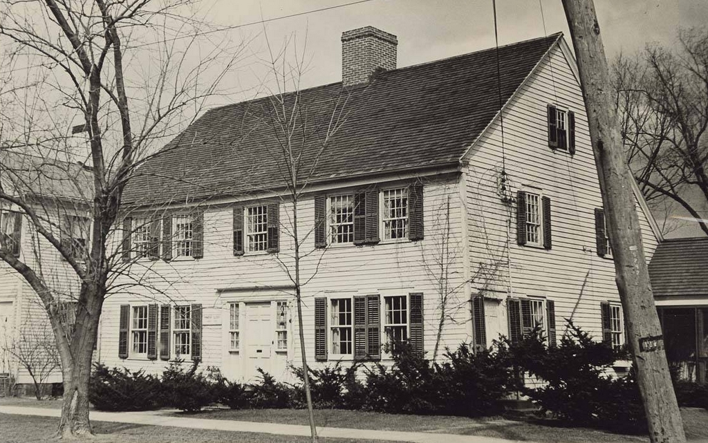
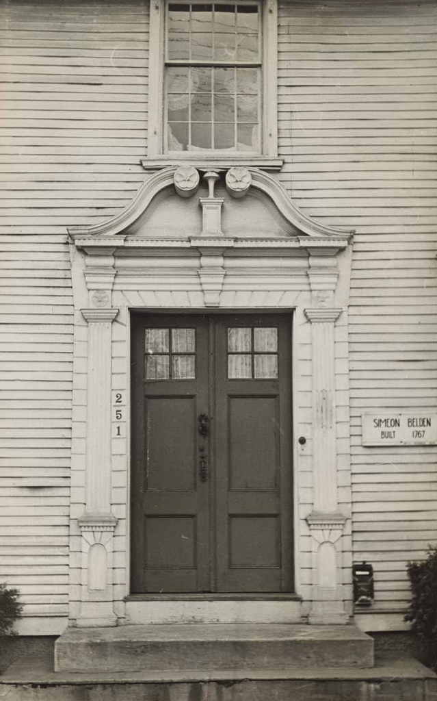
The doorway of the house at 249 Main Street in Wethersfield, around 1935-1942. Image courtesy of the Connecticut State Library.
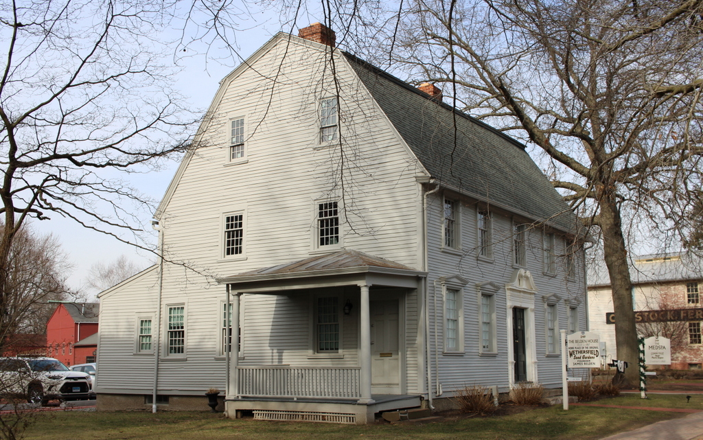
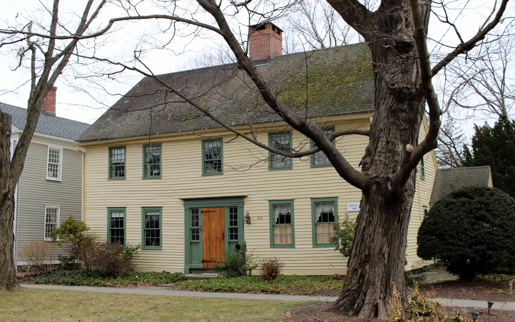
The scene in 2024:
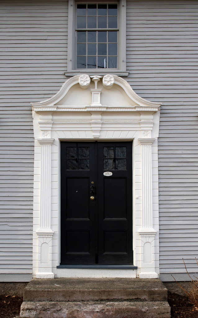
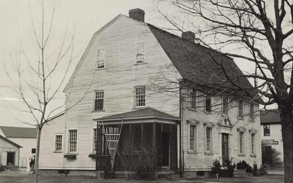
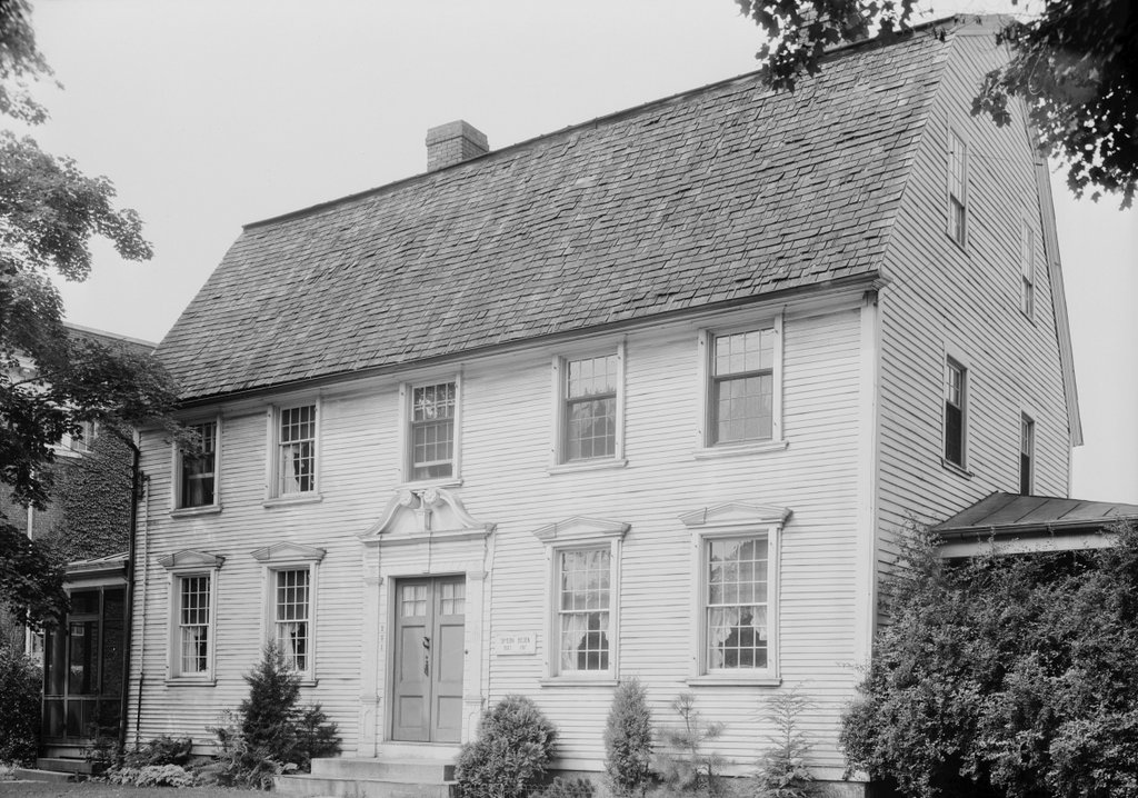
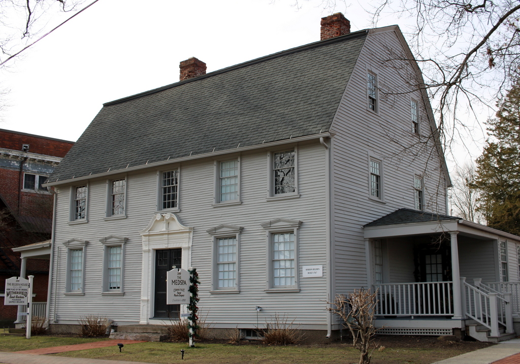
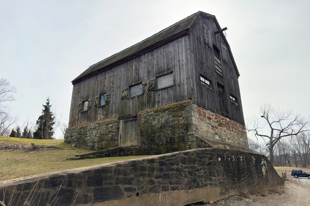
As explained in an earlier post, this house was built in 1767 as the home of Simeon and Martha Belden, and it is particularly notable for its front doorway, which is shown here in these two photos. During the mid 18th century, many affluent residents of the Connecticut River Valley commissioned ornate doorways for their homes. These generally consisted of fluted columns on either side of the door and a large entablature above it. In many instances, they were also decorated with carvings of flowers, leaves, and other patterns.
There were several different varieties of this type of doorway. The simplest had flat tops, but others had pediments above the entablature, including some that were triangular or arched. However, the most elaborate of the doorways tended to have scroll pediments, as shown here on the Belden house. This is the style that tends to be most associated with the 18th century doorways of the region, and there are examples of these doorways in major art museums, including one at the Metropolitan Museum of Art in New York and two at the Museum of Fine Arts in Boston.
According to the book Connecticut River Valley Doorways, the doorway was restored in 1917, which included installing replicas of the pedestals, along with new double doors. The rest of the doorway is original, though, and it survives as one of the few remaining scroll pediment doorways that it still located on its original house.