Slater Mill, Pawtucket, Rhode Island (2)

The view looking upstream on the Blackstone River in Pawtucket, around the 1860s or 1870s. Image courtesy of the New York Public Library.

The scene in 2021:

As explained in more detail in the previous post, Slater Mill is often regarded as the birthplace of the Industrial Revolution in America. It was built by Samuel Slater, an English-born textile manufacturer who secretly emigrated to the United States in 1789, bringing Britain’s industrial secrets with him. Upon arrival in New York, he soon made contact with Providence businessman Moses Brown, who was searching for someone to construct British-style water frames for spinning yarn. Slater subsequently came to Pawtucket, where he worked with several local craftsmen to produce a working water-powered spinning machine.

Slater then formed a partnership with Moses Brown’s son Obadiah Brown and son-in-law William Almy. They soon outgrew their original facility, so in 1792 they constructed a wood-frame dam across the Blackstone River, shown here in the center of these two photos. Then, a year later they opened their new mill, which was two stories high and measured 40 feet by 26 feet. It would later be significantly expanded over the years, but the original 1793 section is still there. Viewed from this angle, it is in the central part of the building, directly behind the large tree in on the left side of the present-day photo.

The original mill was small compared to the massive textile factories that would soon appear alongside major rivers throughout New England, and its operations were fairly limited, but it marked an important shift in manufacturing in the United States as the first large-scale cotton mill in the country. And, despite its initial small size, it soon expanded. The first addition came in 1801, with a large wing on the north side of the building, on the left side of this scene. This was followed by a wing on the south side in the late 1810s, and then a stair tower and cupola on the west side around 1830.

In the meantime, Samuel Slater remained a partner here throughout much of the early 19th century, but he also built a number of mills of his own, in part because of conflicts with Moses Brown and William Almy here at the original mill. He finally sold his interest in the company in 1829, when an economic downturn forced him to liquidate some of his assets in order to pay his debts.

This building would continue to be operated as a cotton mill throughout most of the 19th century. It was expanded with more additions during this time, and it also housed a variety of other tenants involved in different industries. The first photo shows the building around the 1860s or 1870s, standing alongside a number of other mills that had been built along the Blackstone River by this point.

Cotton production continued here until 1895, and the mill was subsequently used for other industrial purposes into the early 20th century. It was steadily deteriorating, but in 1923 it was acquired by the Old Slater Mill Association. Over the next few years, this organization restored the building to its 1835 appearance, including the removal of the later additions. Most of the surrounding buildings were also demolished, in order to create a small park around the old mill. Only the 1810 Oziel Wilkinson mill was spared, and it still stands just out of view on the left side of this scene.

Today, both the historic Slater Mill and the original dam across the river are still here. The mill was designated as a National Historic Landmark in 1966, and it is now a part of the Blackstone River Valley National Historical Park. Slater Mill is the centerpiece of this multi-site park, and it is joined here by the Wilkinson mill and also the Sylvanus Brown House, which was moved here from a different location in the mid-20th century.

Slater Mill, Pawtucket, Rhode Island

A view of Slater Mill on the Blackstone River in Pawtucket, around 1897. Image from An Illustrated History of Pawtucket, Central Falls, and Vicinity (1897).

The scene in 2021:

This mill, located on the west side of the Blackstone River in Pawtucket, is an important landmark in the early history of the Industrial Revolution in America. The building has undergone many changes and expansions over the years, but the oldest portion—located in the central part of the building—was completed in 1793 by Samuel Slater, a British emigrant who is credited with bringing the Industrial Revolution to the United States.

The Industrial Revolution had started during the second half of the 18th century in Britain, where a series of inventors had developed ways of harnessing water power to spin thread and weave textiles. However, Britain closely guarded the details of these processes, in order to prevent foreign competition. This was also the case for the American colonies, where Britain discouraged manufacturing in order ensure that colonists purchased manufactured goods from the home country.

After gaining independence, the United States still found itself largely dependent upon British manufacturers, but many American entrepreneurs were interested in bringing these industrial innovations across the Atlantic. This was particularly true here in New England, where the region’s many fast-flowing rivers made it an ideal place for water-powered industry.

Among these early industrialists was Moses Brown, a member of a prominent family in Providence. His family had become wealthy during the colonial era as merchants and slave traders. In particular, his brother John was a notorious slave trader who continued the practice even after the federal government prohibited American ships from being used in the international slave trade. By contrast, Moses became a staunch abolitionist. He freed his own slaves, converted to Quakerism, and spoke out against both slavery and the slave trade. And, while his brother was still bringing enslaved people to America, Moses was looking to apply the new British textile manufacturing processes here in Rhode Island.

To accomplish this, in 1789 Moses established the firm of Almy & Brown, which was comprised of William Almy and Brown’s cousin, Smith Brown. Their goal was to make yarn, but they had poor-quality machinery and only limited knowledge about the manufacturing process, so it became clear that they needed someone who was familiar with the British system.

As it turned out, that person was 21-year-old Samuel Slater, who arrived in New York from England on November 18, 1789. He had been an apprentice at a textile mill in England, where he became familiar with the machinery that had been developed by inventor Richard Arkwright. In addition, he learned about the management side of the textile industry. So, by the time his apprenticeship term had ended, he not only knew how to build and maintain the machinery itself, but also how to operate a profitable factory.

However, by this point Richard Arkwright’s patents had expired, and Slater apparently believed that Britain would become too oversaturated with textile businesses. America, on the other hand, seemed to offer more potential for an aspiring young industrialist, and he knew that there were plenty of American entrepreneurs who were looking for someone with his knowledge and experience. With this in mind, he left England in September 1789, just two months after the end of his apprenticeship. Because of strict British laws against exporting machinery plans or drawings, Slater did not carry any with him, and he is said to have disguised himself as a farm laborer.

Upon arriving in New York, he soon heard of Moses Brown’s efforts to produce yarn, so he wrote to him on December 2, offering his services. Brown responded eight days later, and in his letter he explained the problem that his company faced:

We are destitute of a person acquainted with water-frame spinning; . . . As the frame we have is the first attempt of the kind that has been made in America, it is too imperfect to afford much encouragement;

He then went on to make his offer to Slater:

[W]e hardly know what to say to thee, but if thou thought thou couldst perfect and conduct them to profit, if thou wilt come and do it, thou shalt have all the profits made of them over and above the interest of the money they cost, and the wear and tear of them. We will find stock and be repaid in yarn, as we may agree, for six months. And this we do for the information thou can give, if fully acquainted with the business. After this, if we find the business profitable, we can enlarge it, or before, if sufficient proof of it be had on trial, and can make any further agreement that may appear best or agreeable on all sides.

These terms were acceptable to Slater, who traveled to Pawtucket in January 1790. However, once he arrived, he saw for himself the poor quality of the machinery, which was evidently worse than he had anticipated. Moses Brown would later tell Slater’s biographer, George S. White, that,

When Samuel saw the old machines, he felt down-hearted, with disappointment—and shook his head, and said ‘these will not do; they are good for nothing in their present condition, nor can they be made to answer.’

Slater then spent the next few months working on the machinery, with assistance from local craftsmen such as Sylvanus Brown and Slater’s future father-in-law, Oziel Wilkinson. They succeeded in constructing a water-powered spinning machine, and in April, Slater became a partner in the newly-established firm of Almy, Brown & Slater. A year later, Slater married Oziel Wilkinson’s daughter Hannah. She would go on to become an inventor in her own right, and in 1793 she became the first American woman to receive a patent when she developed a new way of making cotton sewing thread.

In the meantime, Slater’s machinery worked so well that the production of yarn soon outpaced the firm’s ability to sell it through their existing supply chains. However, once Slater and his partners began expanding into new markets, the original mill was unable to keep up with the increased demand. So, in the fall of 1791 the firm purchased this site here on the west side of the Blackstone River in Pawtucket, in order to construct a new mill. The wood-frame dam, shown here in the foreground of these two photos, was constructed in 1792, and the mill itself opened in 1793.

It was the first large-scale cotton mill in the United States, and it marked the beginning of an industry that would dominate the New England economy for more than a century. This building is still standing, in the center of these two photos, although it has been significantly expanded over the years. The original 1793 portion of the building was two stories high, and measured 40 feet long and 26 feet wide. It was built of wood, with a stone foundation, and it stood directly atop the Great Flume, which was built parallel to the river to provide water power for this mill and others further downstream.

Aside from his knowledge of textile machinery, Slater was also familiar with the management and operation of British mills, and he brought many of these innovations to America. Among these was the idea of continuous production, rather than the earlier practice of only making yarn to fill specific orders. Slater also took advantage of economies of scale, with his mill specializing in a relatively small number of products. More troublingly, though, Slater also copied the British practice of employing child laborers, and his workforce typically consisted of children between the ages of 7 and 12. However, unlike the British system, which tended to exploit orphans and other destitute children, Slater sought to develop factory villages that employed entire families. This approach, which came to be known as the Rhode Island System, involved having children produce yarn at the mill, and then have women weave the yarn into cloth at their homes.

By focusing on relatively small-scale industrial production of the yarn, along with having a decentralized weaving process, Slater’s Rhode Island System was in contrast to the subsequent Waltham-Lowell System, which would come to dominate New England textile production during the 19th century. However, despite this comparatively limited scope of manufacturing, Slater’s mill was an important first step in transitioning the new nation into a major industrial center.

Although Slater’s mill here in Pawtucket was a success, he often clashed with the other two partners in the firm, who handled the financial side of the business. After just a few years, he established his own company in partnership with his in-laws. This new mill was constructed in 1799, directly across the Blackstone River from the original mill, near the spot where these two photos were taken. At the time, the river formed the border between Massachusetts and Rhode Island, so the new mill was located in the town of Rehoboth, Massachusetts. Later in the 19th century, though, the state border would shift a few miles to the east, making the east side of the river part of Pawtucket, Rhode Island.

In the meantime, Slater retained his share of the original mill, which underwent several expansions in the early 19th century. The first of these came in 1801, when the building was expanded by 57 feet to the north, more than doubling its length. Then, in the late 1810s it was extended closer to the river, with a 40-foot addition here on the south side, followed by a stair tower and cupola on the west side around 1830.

In addition to this mill, Slater and his family opened a number of other mills in Rhode Island, Massachusetts, and Connecticut. Here in Pawtucket, he continued his partnership with Almy and Brown until 1829, when an economic downturn forced him to sell his share in the original mill, along with several of his other mills, in order to repay his debts. Despite this setback, he was able to recover financially, and upon his death in 1835 he left an estate valued at over $1 million.

Slater’s former firm here in Pawtucket subsequently became Almy & Jenkins, and the old building was later occupied by several other partnerships during the 19th century. The building itself also changed, with the construction of at least three more additions during this time. The surrounding area likewise continued to be transformed, and the waterfront of the Blackstone River became lined with other mills.

Over time, the mill came to be used by a variety of tenants. By the late 19th century, these included a bicycle shop and a manufacturer of jewelers’ tools. Alongside these uses, the building continued to produce cotton until 1895, just over a century after Samuel Slater and his partners launched the American Industrial Revolution here. The first photo was taken around this time, showing the heavily-altered mill surrounded by an assorted mix of smaller industrial buildings along the river. By this point it had become a much-photographed local landmark, but it was still in active commercial use, and it was starting to show its age.

Many of the surrounding buildings were demolished at the turn of the 20th century, but the mill remained standing. It was ultimately acquired by the Old Slater Mill Association in 1923, with the goal of preserving the building and restoring it to its historic appearance. Over the next few  years, the later additions to the mill were removed, leaving only the original 1793 section and the early 19th century wings. The resulting structure, which still stands here today, thus approximates how the mill would have looked at the time of Samuel Slater’s death in 1835.

In keeping with early to mid-20th century historic preservation trends, nearly all of the neighboring buildings were subsequently demolished. The intent was to make the mill the centerpiece of a riverfront park, but it also took away the historic character of its surroundings. Not even Samuel Slater’s house was spared in the process, although Oziel Wilkinson’s three-story stone mill was preserved. Built in 1810, it stands just out of view on the left side of the present-day scene. However, this site did have one addition later in the 20th century, when Sylvanus Brown’s house was moved here from its original location about two miles away, to save it from demolition. It was in this house that Samuel Slater spent his first night upon arriving in Pawtucket, and it is visible in the present-day scene, just to the left of the mill.

Overall, despite the many changes here, the mill and dam are still recognizable from the first photo. However, there is nothing else left from the photo; to the left of the mill is the park, and to the right of it is a parking lot. Further in the distance, on the other side of the mill, are still more parking lots, and on the right side of the scene is the tower of Pawtucket City Hall, an Art Deco building that was completed in 1936.

The mill was designated as a National Historic Landmark in 1966, and it is now part of the Blackstone River Valley National Historical Park, which focuses on the industrial history of the Blackstone River. Here in Pawtucket, the park includes the two mills and the Sylvanus Brown house, along with the original dam and associated water structures, including the Great Flume. The Slater Mill is open to the public seasonally from Thursdays through Sundays, and park rangers conduct free guided tours of the building.

Boston and Albany Railroad Arch Bridge, Becket, Mass

An early 20th century postcard showing the view looking east along the Boston and Albany Railroad, with a stone arch bridge on the left side and the Westfield River on the right. Image from author’s collection.

The scene in 2021:

The first railroads in the United States were constructed starting in the late 1820s. These were mostly concentrated in the northeast, and they tended to be relatively short lines that linked neighboring cities. Here in New England, Boston soon emerged as an important railroad hub, and by the mid-1830s it had three different lines that radiated outward as far as Lowell, Providence, and Worcester. However, railroad investors had far more ambitious plans, including one proposal that would extended the line west of Worcester all the way to Albany.

Throughout the colonial era, and into the early 19th century, Boston had been one of the most important seaports in the present-day United States. However, as settlers moved west, and as the country acquired new territory, Boston found itself on the far eastern edge of a nation that was rapidly expanding westward. The opening of the Erie Canal in 1825 further threatened Boston by linking New York City with the Midwest, making it the primary seaport for trade with the inland regions.

As early as 1826, the Massachusetts state legislature had begun exploring the possibility of a railroad from Albany to Boston. This would prevent Boston from becoming economically isolated from the rest of the country, by providing an alternate route to the sea for goods transported along the Erie Canal. The state subsequently hired prominent civil engineer James F. Baldwin to examine potential routes through the state. The most promising was a southerly route, which would head west from Worcester through Springfield and Pittsfield before crossing into New York. This is, more or less, the route that would ultimately be opened a little over a decade later.

To achieve this goal, the Western Railroad was incorporated in 1833, although construction work did not start until 1837. The eastern half of the railroad, from Worcester to Springfield, was relatively easy to build, and it opened on October 1, 1839. However, the western portion, which crossed the mountains of the Berkshires, was a far more challenging engineering feat. By this point, railroad technology was still in its infancy, and there were still significant questions about the ability of steam locomotives to operate on steep grades. Some doubted whether a locomotive could handle grades greater than one percent (one foot of vertical rise for every hundred feet of track), and many early railroads used steam-powered inclined planes to pull trains up steep sections of the route. However, any crossing of the Berkshires would require consistent grades in excess of one percent, in some places even exceeding 1.5 percent.

To reach the divide between the Connecticut River and Housatonic River watersheds, the route of the railroad followed the Westfield River to the west of Springfield. In the town of Huntington, the river splits into three main branches, with the railroad continuing upstream along the west branch. From there, the river valley becomes increasingly narrow and winding, particularly in the last 13 miles from Chester to the watershed divide in Washington.

In order to oversee this project, the railroad hired George Washington Whistler as chief engineer. An 1819 graduate of West Point, Whistler was one of the nation’s leading civil engineers, and he was involved in the construction of many early railroads. He would go on to earn international fame from his accomplishments here on the Western Railroad, and Czar Nicholas I of Russia subsequently hired him to build the Saint Petersburg–Moscow Railway. However, Whistler’s fame would ultimately be eclipsed by his son, the prominent artist James Abbott McNeill Whistler, who was a young child living with his family in Springfield when George Washington Whistler built the Western Railroad.

For Whistler, the most difficult part of the project would be the 13 miles between Chester and Washington, where the railroad rose in elevation from 600 feet in Chester to 1,459 feet at the watershed divide. This was a serious challenge, given the concerns about the technical limitations of steam locomotives, but Whistler also had to build this railroad within the confines of a narrow, sinuous river gorge. This meant the railroad would require a series of deep rock cuts and high embankments, along with repeated crossings of the river, in order to maintain a reasonable grade. Even so, the finished railroad would have a six-mile section with an average grade of 1.51 percent, and a maximum grade of 1.57 percent.

Probably the most distinctive feature of this section of the railroad is its many bridges. The railroad crossed the river a total of 21 times in these 13 miles, and ten of these bridges were masonry arch bridges, including the one shown here in these two photos. The original intent had been to use simpler bridges with rubble masonry abutments, but these would have been vulnerable to spring flooding, so the railroad opted for more substantial arch bridges. This required excavating down to bedrock to anchor the abutments, and it also meant bringing in quarried stone from elsewhere, since the local stone proved to be of inferior quality. This was a significant expense for the railroad, as these quarried blocks—which weighed upwards of a thousand pounds each—had to be transported along rough roads to these remote work sites along the river.

Aside from the bridges, other labor-intensive work included the many cuts and fills along the railroad bed. A little to the east of the bridge in this photo, just beyond the curve in the distance, is a deep rock cut, measuring about 575 feet long and 30 to 40 feet deep. In the days before dynamite and other high explosives, this work would have been done using only black powder and hand tools such as picks and shovels. Beyond this rock cut was an embankment, with a long stone retaining wall that had to be built to keep the railroad bed from sliding off the steep cliff down to the river. A few miles to the west of the stone bridges, at the highest point of the railroad in the town of Washington, was an even larger rock cut. It was about a half mile long, and 55 feet deep at its deepest point.

All of this work, including the unanticipated need for stone arch bridges, led to significant cost overruns for the Western Railroad. In 1838, prior to the start of construction, the cost of building section of the railroad to the west of the Connecticut River was estimated at $2.1 million. The actual cost turned out to be a little over $2.5 million, including nearly $1 million just to build a 13-mile section here in the Berkshires. The single most expensive mile was just a little to the east of the scene in these photos, between mile markers 127 and 128. Within that mile, the railroad crossed the river three times on large stone arch bridges, and cost nearly $220,000. The company’s January 1841 annual report explained some of the reasons for these added expenses, quoting the engineer (presumably Whistler), who wrote about the challenges of building the railroad through this section along the Westfield River:

With the limited knowledge of the character of the stream here, at the time of the original estimate, and, judging of its effects in times of freshets, from the comparatively unstable character of the structures then existing on the turnpike, occupying almost the immediate line of the rail-road, in tolerable security, it was then judged that structures of the more ordinary kind, with common rubble masonry for bridge abutments and side walls, would give ample security to the road, and such was estimated for. But the experience in time of our personal knowledge of the effects of freshets in this stream, proved the necessity of abandoning such structures, and resorting to others of a more costly and permanent character. Stone arches of large openings were adopted, requiring masonry of a very different and superior character to support them;—rendering it necessary too to resort to great depths in search of permanent rock foundations below the bed of the stream. This was the more readily acceded to at the time, from the belief (as every appearance indicated) that materials suitable for such structures would be obtained from the rock cuts in their immediate vicinity. But soon after they were commenced, and the character of the stone exposed by the opening of the cuts, it proved entirely unfit; and the contractor was compelled to resort to quarrying and hauling the stone from a distance, and over roads almost impassible;—thus rendering it necessary to increase his prices to meet this additional cost.

The work of actually building the railroad was largely done by immigrant laborers, primarily the Irish. At one point there were several thousand workers employed here, and this is evident in the 1840 census, which was conducted in the midst of the railroad construction. In a sort of precursor to the later railroad boom towns that would follow the First Transcontinental Railroad several decades later, the town of Middlefield—located on the north side of the river—saw a particularly dramatic increase in population. From a population of 720 in 1830, Middlefield grew to 1,717 in 1840, with the census noting that 686 were from “Middlefield proper,” while the rest were counted as “extraneous population.”

These workers generally lived in temporary shantytowns along the river, and the census indicates that most were in their 20s or 30s, with few over the age of 40. The 1840 census does not provide much specific demographic information, and only the heads of the households are individually named, but the census data suggests that most of these men lived here with their families. Most of the households included both a man and a woman who were between the ages of 20 and 40, along with several young children who were generally under the age of 10. The surnames of the heads of household were overwhelmingly Irish, with Murphy being a particularly common name among the workers in Middlefield.

The arrival of so many foreign immigrants in a small, rural community was not without controversy. Early in the construction process, in the spring of 1839, the Hampshire Gazette published an article titled, “The Irish on our Public Works,” which addressed concerns about the societal impact of the Irish immigrants who were working on the railroad. The article warned that, “[i]f some measures are not taken for the education and moral reformation of the multitudes of Irish and other foreign emigrants that swarm the country, our republic will be much in danger from them.” Perhaps in response to these concerns, a few months later a resident of Middlefield began raising funds to establish three schools for the children of the laborers. It seems unclear as to whether these contributions were motivated by genuine altruism or by nativist fears about an under-educated immigrant class, but a subsequent article in the Boston Evening Transcript declared that the students were “learning rapidly, and doing credit to the labors of their benefactors.”

These workers remained here throughout the summer of 1841, and the railroad was ultimately completed in the early fall, with the final tracks laid at the rock cut in Washington on October 2, 1841. The railroad opened two days later, linking Boston and Albany. In the process, the railroad set a number of records. It was, up to that point, the longest and most expensive railroad in America, and it was also the first to be built through mountains without using steam-powered inclined planes to assist locomotives. As such, it was a significant engineering milestone, and it was enough to gain the attention of the czar, who brought Whistler to Russia as soon as his work here on the Western Railroad was finished.

However, despite the completion of the railroad, there would continue to be challenges, including a fatal accident that occurred on October 5, 1841, just a day after the line opened. The railroad originally just had one track, with occasional passing sidings for trains heading in opposite directions, including ones at Chester and Westfield. On this particular day, both the eastbound and westbound trains were given instructions to meet at Chester before proceeding. However, the eastbound conductor apparently never received this message, and was expecting to meet the other train further down the line in Westfield. This resulted in a head-on collision about four miles west of Westfield, killing the conductor of the eastbound train and one passenger, along with injuring many others. The accident was a personal tragedy for George Washington Whistler, whose niece, Caroline Bloodgood, was on the train. She was among those injured, and her young son was the one passenger who was killed in the accident.

The Western Railroad did manage to help dispel the myth that steam locomotives were unable to ascend steep grades under their own power, but the section of the railroad here in the Berkshires was nonetheless challenging for trains. Whistler had selected locomotives that were built by Ross Winans of Baltimore, a friend of his whose daughter Julia would later marry his son George. Nicknamed “crabs,” presumably because of their eight drive wheels and Maryland origins, these locomotives proved unreliable here on the Western Railroad, and the railroad ultimately resorted to custom building their own mountain locomotives at their shops in Springfield.

Despite these setbacks, the railroad overall proved to be a success, and for many years it was the only east-west railroad through the Berkshires, providing an important transportation link between Boston and the rest of the country. Although it was originally built as a single-track railroad, Whistler had wisely designed the bridges and other structures to accommodate a second track. This made the initial construction costs higher, but in the long run it saved the railroad money by making it easy to add a second track without having to reconstruct all of the bridges.

For travelers along the route, this section through the Berkshires was a highlight of their journey. The 1847 travel guide A Chart and Description of the Boston and Worcester and Western Railroads, published only six years after the railroad opened, provides the following description:

No language that we are master of could give the traveller any proper description of the wildness, the grandeur, or the obstacles surmounted in the construction of this portion of the route. The river is exceedingly crooked, and the lofty mountains, which are very steep and rugged, and of solid rock, shut down quite to the river on both sides, their sharp points shooting by each other, rendering crossings at every bend of the stream indispensable. In addition to this, the points of the hills must be cut away, and for many miles these rock cuttings and bridges follow each other in regular and rapid succession. . . . Nor does the passing traveller, hurling along as rapidly as he is, see much of the beauty of this mountain gorge. It is not until he has seen, from the base of these mighty structures of art, the passage of the cars, that their magnificence is really felt.

The Western Railroad would ultimately merge with the Boston and Worcester in 1867, forming the Boston and Albany Railroad. This company would, in turn, be leased by the New York Central starting in 1900, although this line retained the Boston and Albany name well into the 20th century. In the meantime, the railroad continued to make improvements to the route, including some changes here along the banks of the Westfield River. A few of the original bridges were replaced, including the easternmost one, which was replaced in 1866 with the current double arch bridge. The next bridge upstream from there was replaced in 1912 with the current steel deck truss girder bridge, although the original stone abutments appear to still be there, encased in poured concrete. Much further upstream, the westernmost two bridges were apparently reconstructed in 1928 after having been damaged in a flood, although it is possible that portions of the original bridges are still underneath the concrete.

However, the most significant change to this portion of the railroad occurred in 1912, when about a mile of the railroad was rerouted, including the section shown here in these two photos. The first photo was probably taken only a few years before this occurred. The postcard is undated, and does not have a postmark, but it has an undivided back, suggesting that it was printed before 1907. As part of this realignment, the railroad shifted to the south side of the river, eliminating two of the river crossings. One of the original bridges, located about 300 yards west of here, was demolished as part of this project, in order to make room for a new bridge. Three other original bridges were simply abandoned, including this one here, which is the westernmost of the three.

Today, more than a century after the railroad was rerouted, these three bridges are still standing. One of them, the easternmost, is still on land owned by the railroad, and it is directly adjacent to the active rail line, so it is not accessible to the public. However, the other two bridges, along with the 3,000-foot section of abandoned railroad right-of-way between them, are now owned by the state as part of the Walnut Hill Wildlife Management Area. The bridges are accessible by way of the Keystone Arch Bridge Trail, a 2.5-mile long trail that starts in Chester. Despite being over 180 years old, and despite not having been maintained in well over 100 years, these bridges remain in good condition, clearly fulfilling Whistler’s goal of creating bridges of “a more costly and permanent character.”

As the travel guide had indicated back in 1847, it is hard to get a sense of the scale of these bridges from the railroad. Even today, it is hard for visitors to tell just how big these bridges are while standing atop them, and photographs are likewise unable to capture the full scope of these structures. Only by climbing down to the river and looking up at the arches can a visitor fully appreciate the size of the bridges, and the work that went in to building them in the middle of a river gorge in one of the most remote areas of the state.

Of the three surviving bridges, the one here in this scene is the largest. Including the wingwalls, the structure of the bridge is over 500 feet long, the bridge deck is about 25 feet wide, and the top of the bridge rises about 75 feet above the river. The bottom of the arch is about 60 feet above the water, and the total span of the arch is 54 feet. The bridge is mostly in its original condition, although about three-quarters of the parapet stones are gone, having apparently been pushed over the edge by vandals over the years.

In 1980, this bridge was added to the National Register of Historic Places as a contributing structure in the Middlefield–Becket Stone Arch Railroad Bridge District. Then, in 2021, the two surviving stone arch bridges on public property, including this one, were designated as National Historic Landmarks as part of the Western Railroad Stone Arch Bridges and Chester Factory Village Depot district. The district is also comprised of the railroad bed in between the two bridges, including the large rock cut and stone retaining wall, along with the historic railroad station in the center of Chester, several miles to the east of here. This station is owned by the Chester Railway Station and Museum, which features an extensive collection of artifacts relating to the Western Railroad and the construction of these bridges.

For more information on the history of these bridges, the National Historic Landmark Nomination Form is an excellent resource. The Friends of the Keystone Arches also has an excellent website, with plenty of historical information and photographs, along with information about hiking to the bridges.

Middle Street, Hadley, Mass

The view looking north on Middle Street towards Russell Street in Hadley, around 1900. Image from History of Hadley (1905).

The scene in 2021:

Hadley is one of the oldest towns in western Massachusetts, having been first settled by European colonists in 1659 and incorporated as a town two years later. Its terrain is mostly flat, and it is situated on the inside of a broad curve in the Connecticut River, giving it some of the finest farmland in New England. The main settlement developed in this vicinity, with a broad town common on what is now West Street. This common was the town center during the colonial period, and it was the site of three successive meetinghouses beginning in 1670.

The third meetinghouse, which is shown here in these photos, was completed on the town common in 1808. This location was a matter of serious contention, as by the turn of the 19th century much of the town’s development had shifted east toward what is now Middle Street. Tradition ultimately prevailed, and the third meetinghouse was built on the common. However, this proved to be only temporary, because in 1841 it was relocated. The intended location was to be a compromise, located halfway between the common and Middle Street, but the movers ignored this and brought the building all the way to Middle Street, to its current location just south of Route 9.

Architecturally, this meetinghouse reflects some of the changes that were occurring in New England church designs. Prior to the late 18th century, the region’s churches tended to be plain in appearance. Many did not have steeples, and those steeples that did exist tended to rise from the ground level on the side of the building, rather than being fully incorporated into the main section of the church. This began to change with prominent architects like Charles Bulfinch, who drew inspiration from classical architecture when designing churches and other buildings. Bulfinch’s churches tended to feature a triangular pediment above the main entrance, with a steeple that rose from above the pediment, rather than from the ground.

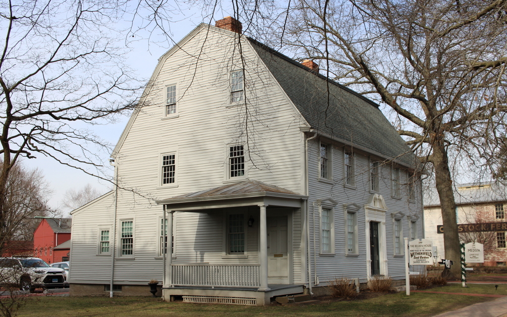
Bulfinch does not appear to have played a hand in designing Hadley’s church, but its builder was clearly influenced by his works. It has a pediment with a steeple above it, and it also has a fanlight above the front door, and a Palladian window on the second floor. Other classically-inspired decorative elements include pilasters flanking the front entrance and dentils around the pediment. As for the steeple itself, it does not bear strong resemblance to the ones that Bulfinch designed, but the builder likely took inspiration from other 18th century New England churches. In particular, it bears a strong resemblance the steeples of churches such as Old North Church in Boston and the First Church of Christ in Wethersfield, Connecticut.

Aside from moving the church to this site, the other major event of 1841 that solidified Middle Street as the town center was the construction of a town hall here. Prior to this point, town meetings were held in the church, as was the case in most Massachusetts towns in the 18th and early 19th centuries. Massachusetts was slow to create a separation between church and state, and not until 1833 did the state outlaw the practice of taxing residents to support local churches. Here in Hadley, this soon led to a physical separation between the church and the town government, although as shown in this scene the two buildings stood side-by-side on Middle Street.

While the church features Bulfinch-inspired architecture, the design of the town hall reflects the Greek Revival style of the mid-19th century. This style was particularly popular for government and other institutional buildings of the period, as it reflected the democratic ideals of ancient Greece. The town hall is perhaps Hadley’s finest example of this style, with a large portico supported by four Doric columns, along with Doric pilasters in between the window bays on all four sides of the building.

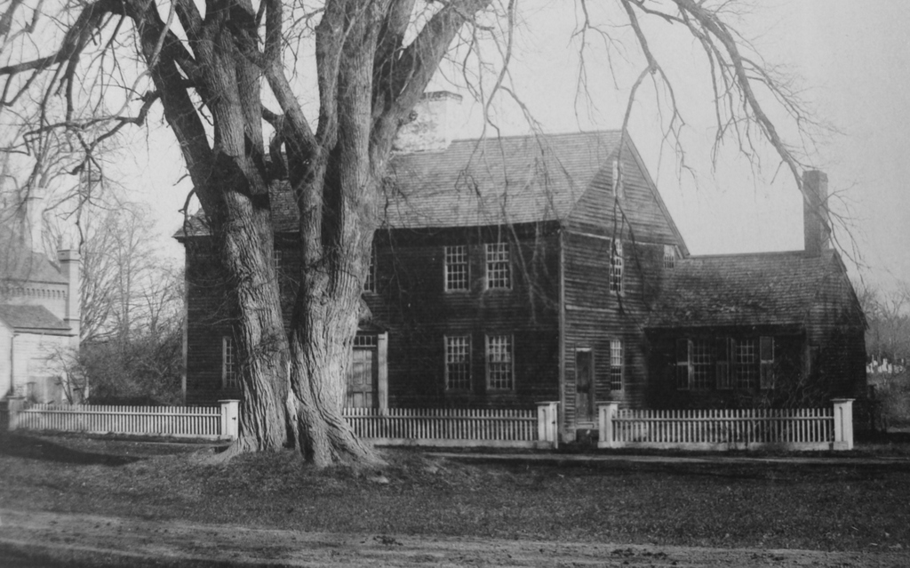
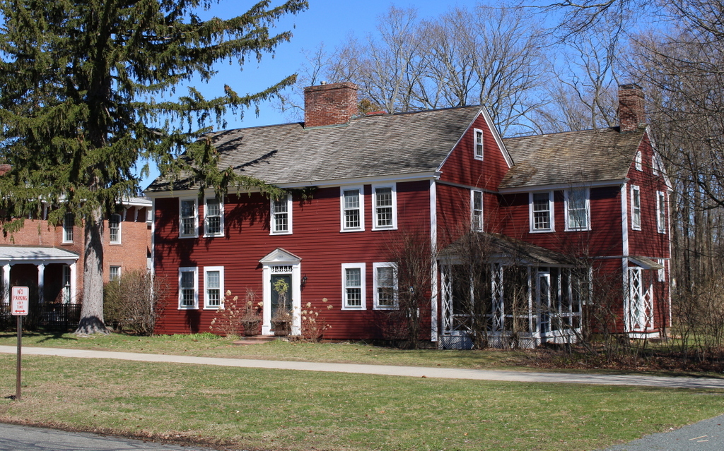
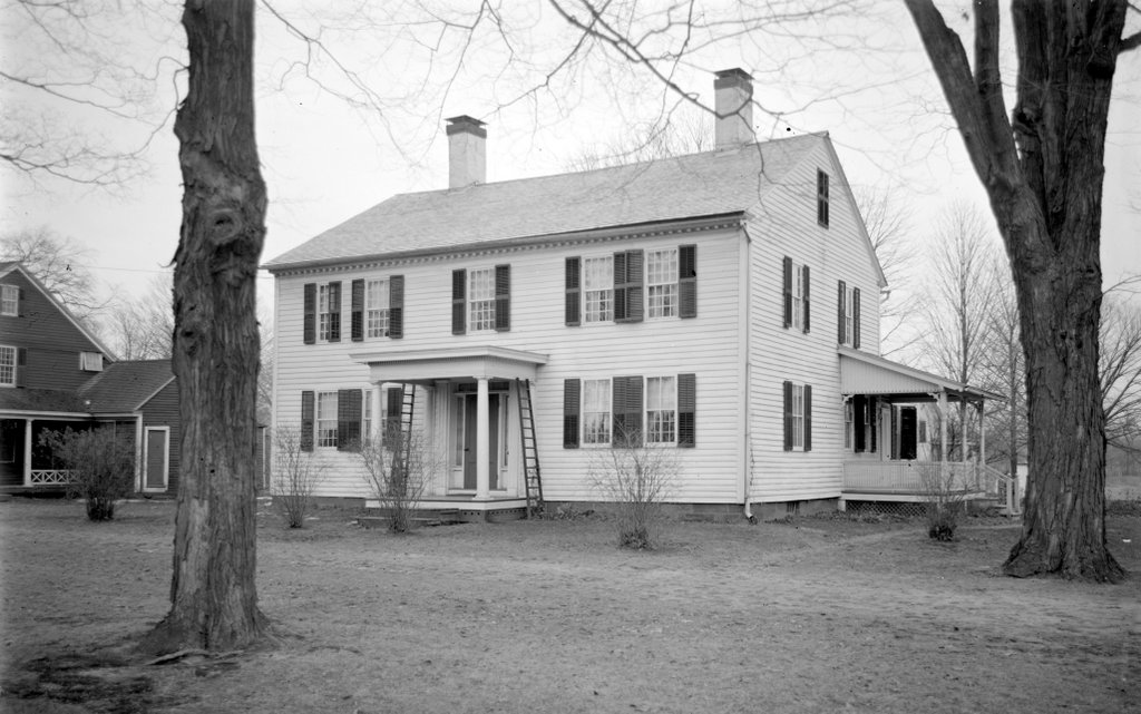
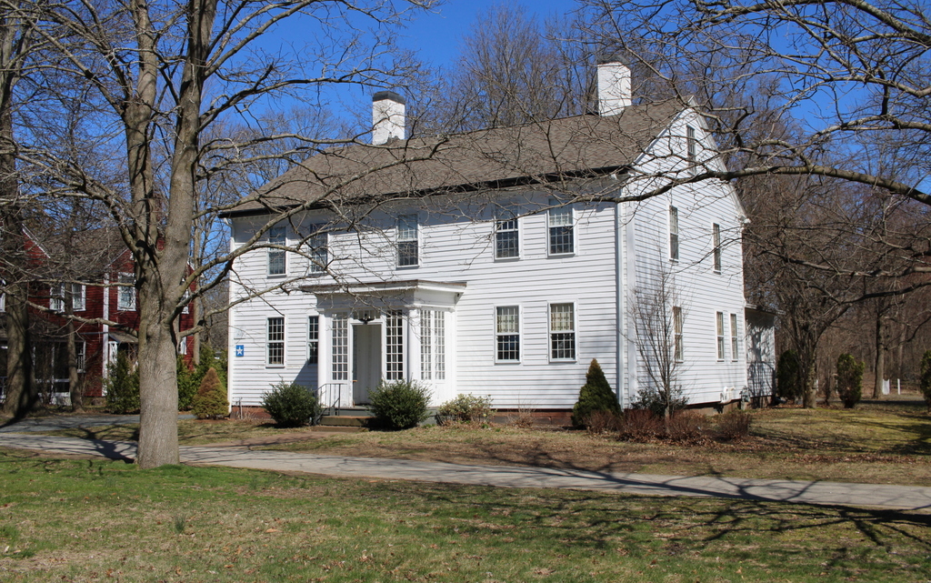
The first photo shows Middle Street around the turn of the 20th century, looking north toward the church, the town hall, and Russell Street further in the distance. The photo also shows a house on the foreground, just to the right of the church. Based on its architecture, this house likely dated back to about the mid-18th century, but it was gone by 1903, when the current house was built on the site. This house was originally the home of Dr. Frank Smith, and it was designed by Springfield architect Guy Kirkham.

Today, the town of Hadley is significantly larger than it was when the first photo was taken more than 120 years ago. Russell Street is now Route 9, a major east-west thoroughfare that has significant commercial development thanks to Hadley’s position at the center of the Five Colleges region. Likewise, Middle Street is far from the dirt road in the first photo, and it is now Route 47. However, much of Hadley has retained its historic appearance, including its extensive farmland and its many historic buildings. Here on Middle Street, both the church and the town hall are still standing. They have seen few major exterior changes during this time, and the church is still an active congregation, while the town hall remains the seat of Hadley’s town government. Both buildings are now part of the Hadley Center Historic District, which was added to the National Register of Historic Places in 1977.

City Hall, Philadelphia, Pennsylvania

The northeast corner of Philadelphia City Hall, seen from the corner of Market and Filbert Streets, around 1905. Image courtesy of the Library of Congress, Detroit Publishing Company Collection.

The scene in 2019:

Throughout most of the 19th century, Philadelphia’s municipal government was located in the old city hall building, adjacent to Independence Hall at the corner of Chestnut and Fifth Streets. Built in the 1790s, when Philadelphia had a population of barely 30,000 people, this building had become too small for the rapidly-growing city by the mid-19th century. The result was a new city hall, shown here in these two photos. It would be everything that the small, plain Federal-style building was not: it would be massive and architecturally opulent. Upon completion, it also held the title of the tallest habitable building in the world, marking the only time that a building in Philadelphia would hold this distinction.

The site of the current city hall had previously been a park, known as Centre Square. This park had been a part of William Penn’s original design for the city’s street grid, and it proved to be an ideal location for city hall, at the intersection of the north-south oriented Broad Street and the east-west Market Street. The building was designed by John McArthur Jr., a Scottish-born architect who spent most of his life in Philadelphia. His design featured a Second Empire-style exterior, which was particularly popular for government buildings in the United States during the post-Civil War era. Work began in 1871, but it would ultimately take 30 years to finish, at a cost of $25 million, thanks to construction cost overruns and governmental corruption.

City Hall is laid out in the shape of a square, with seven floors surrounding a central courtyard. In the middle of each side of the building is a large, ornate pavilion that rises above and projects outward from the rest of the building, as shown on the rights side of this scene. On the ground floor of each pavilion is an open archway leading into the courtyard. Along with these pavilions, the building also features matching turrets at each of the four corners. However, by far the most distinguishing feature of City Hall is the tower here at the northern side of the building. It rises 548 above the street, and it is topped by a 37-foot statue of William Penn that was designed by sculptor Alexander Milne Calder.

Although the interior was not completed until 1901, portions of the building were in use by the late 1870s. The tower topped out in 1894, surpassing Germany’s Ulm Minster as the tallest habitable building in the world. As such, it became the first non-religious building in recorded history to hold this distinction, and it would also become the last non-commercial building to do so. Its height was eventually surpassed by the Singer Building in 1908, and since then all of the record holders have been modern skyscrapers. Because of this, Philadelphia City Hall has a unique position on the timeline of the world’s tallest buildings, representing a transition from the cathedrals of the 19th century to the skyscrapers of the 20th century.

Despite its record-setting height, the size of City Hall is somewhat deceptive when viewed in photographs. Part of this was intentional on McArthur’s part, as the arrangement of windows gives the appearance, at first glance, that there are only three floors above the ground floor. This illusion affects the apparent scale of the tower as well, and it is hard to tell from a photograph that the statue is actually 37 feet tall, rather than simply being life-sized. As a result, photographs do not fully capture just how massive this building is. However, it is quite the imposing building when seen in-person, and this would have been even more so for the people in the first photo, which was taken when City Hall was still the world’s tallest building.

Unfortunately for architect John McArthur, the many construction delays meant that he did not live to see the completion of his magnum opus; he died in 1890, at the age of 66. These delays also meant that, by the time it was completed, the design of City Hall was hopelessly out of date. By the late 19th century, tastes had shifted away from the highly ornate features of Second Empire architecture, and City Hall was seen as a relic of an earlier era. This criticism started even before the construction was finished, with the Philadelphia Inquirer declaring it to be an “architectural monstrosity” that “always will be until that bizarre French roof is ripped off and a couple of substantial stories added.”

City Hall would continue to face criticism after its completion, both for its design and also for its location in the middle of a major intersection. As early as 1916 there were calls for its demolition. The Inquirer reiterated its criticism of the design, which the newspaper believed “belongs to a thoroughly discredited era of architectural merit.” Furthermore, the building “blocks our two chief streets and hampers developments which are essential to the welfare of the people and to Philadelphia’s progress.” Consequently, the Inquirer argued, “everyone will agree that where it stands now is an obstruction and a nuisance and the only open question relates to the expediency from a practical and business-like viewpoint of its obliteration.”

This proposal ultimately gained little headway, but the building survived several more serious proposals to demolish it, including one in the 1950s. However, this plan failed in part because of the enormous expense of demolishing such a large masonry structure; the demolition costs would have been roughly equal to what it had cost to build City hall a half century earlier.

Despite the long history of criticism of City Hall, it retained the title of tallest building in Philadelphia throughout most of the 20th century, thanks to an informal gentleman’s agreement that no building should rise higher than the statue of William Penn. However, its height was ultimately surpassed by One Liberty Place in 1987, and other skyscrapers soon followed. Because of this, City Hall is now only the 12th-highest in the city.

Today, more than 120 years after its completion, City Hall remains in use by Philadelphia’s municipal government. It is the largest city hall in the country in terms of interior floor space, and it also stands as the world’s tallest freestanding masonry building in the world. Several other masonry structures are taller, including the Washington Monument, but these do not qualify as buildings and so are listed in a separate category. Over the years, the views on City Hall’s architectural design have changed, and the building is now highly-regarded as a masterpiece of Second Empire architecture. As a result, in 1976 it was designated as a National Historic Landmark, which is the highest level of federal recognition for a historic building.

Carpenters’ Hall, Philadelphia, Pennsylvania (2)

Carpenters’ Hall in Philadelphia, around 1900. Image courtesy of the Library of Congress, Detroit Publishing Company Collection.

The scene in 2019:

As explained in more detail in the previous post, Carpenters’ Hall is an important historic landmark in Philadelphia, having been the meeting place for the First Continental Congress in 1774. Over the ensuing years, it would be used for a variety of other purposes, including as a hospital during the American Revolution, as the offices of Secretary of War Henry Knox during the early 1790s, and as the temporary home of both the First Bank of the United States and the Second Bank of the United States. By the mid-19th century it had become an auction house, a comparatively undignified use that helped to inspire the restoration and preservation of the building in 1857.

By the time the first photo was taken at the turn of the 20th century, Carpenters’ Hall was more than 125 years old, but it still retained its colonial-era exterior appearance. However, by this point the building, which is situated at the end of a narrow alley in the middle of a city block, was hemmed in by much larger buildings. This would remain the case until the mid-century, when the Independence National Historical Park was created. Among the more controversial aspects of the park’s creation was the large-scale demolition of many historic 19th and early 20th century buildings, in order to create a more park-like setting that highlighted only the Revolutionary-era buildings.

Today, Carpenters’ Hall is now twice as old as it had been when the first photo was taken. However, because of the removal of so many surrounding buildings, its exterior setting now more closely resembles what it would have looked like when the delegates to the First Continental Congress arrived here in 1774. It is still owned by its original occupant, the Carpenters’ Company of the City and County of Philadelphia, and it is open to the public as one of the many preserved 18th century buildings here in Philadelphia.