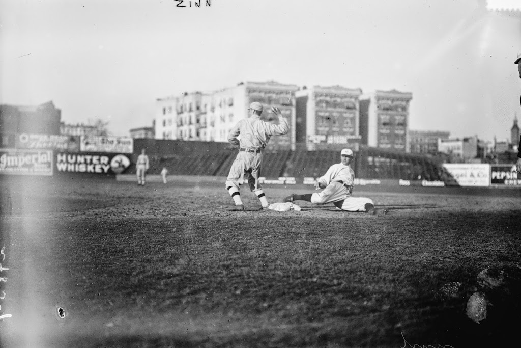
Another scene inside Hilltop Park, during a game between the New York Highlanders and the Boston Red Sox in 1912. Image courtesy of the Library of Congress, Bain Collection.
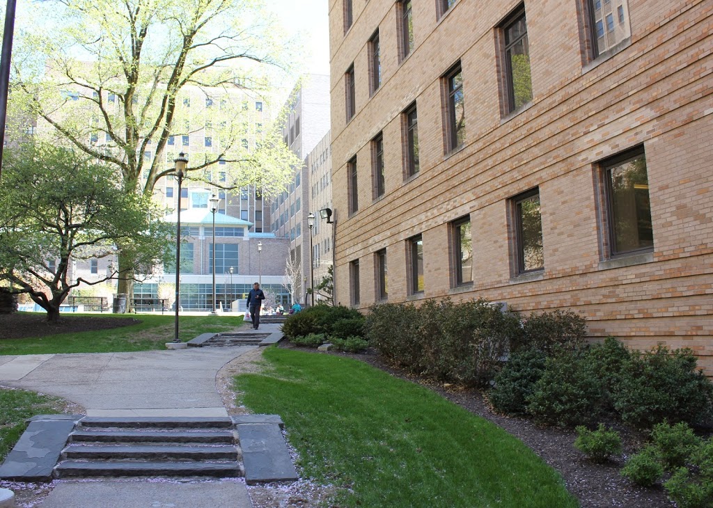
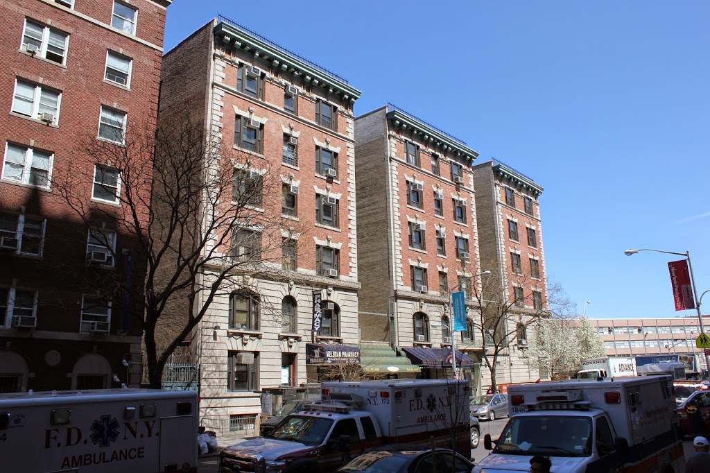
A similar scene in 2014:
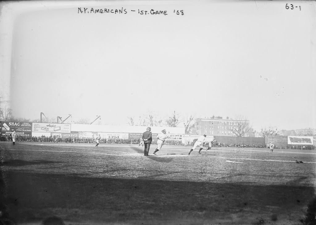
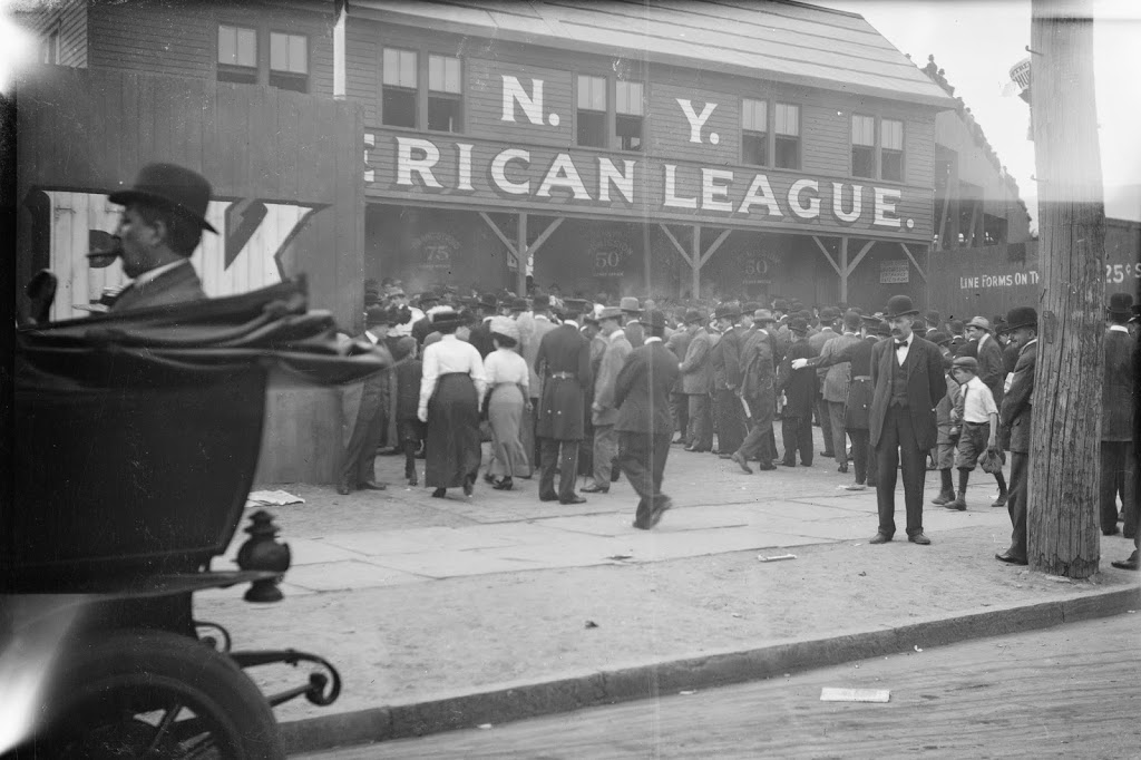
In 1912, the New York Highlanders played their last season at Hilltop Park, losing 102 games in the process. In the meantime, the Boston Red Sox played their first season at Fenway Park, where they still play today, and won a franchise-record 105 games on their way to a World Series championship. They seemed like two teams headed in totally opposite directions, but just a decade later, following the sale of Babe Ruth and other star players to the Yankees, it would end up being the Yankees winning 100+ games on a regular basis, while the Red Sox frequently lost over 100. The runner sliding in the photo is New York outfielder Guy Zinn, who played for the Highlanders in 1911 and 1912, before spending a year with the Boston Braves and two years with the Baltimore Terrapins of the short-lived Federal League. The Red Sox first baseman in the photo is probably player/manager Jake Stahl, although it could be Hugh Bradley, who also played first base for the Red Sox during the 1912 season.
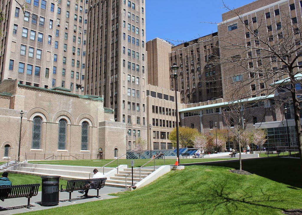
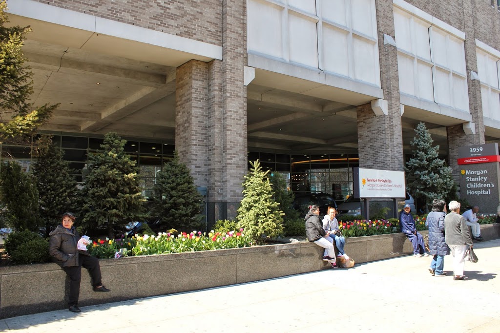
The photos aren’t taken in the exact same spot; the actual location of the first photo would be somewhere inside Columbia-Presbyterian Medical Center. However, both photos show the one surviving landmark from scenes in Hilltop Park: the three apartment buildings across 168th Street. These buildings were particularly helpful in figuring out the orientation of some of the historic images of Hilltop Park, as the landscape has completely changed in the past 100 years.