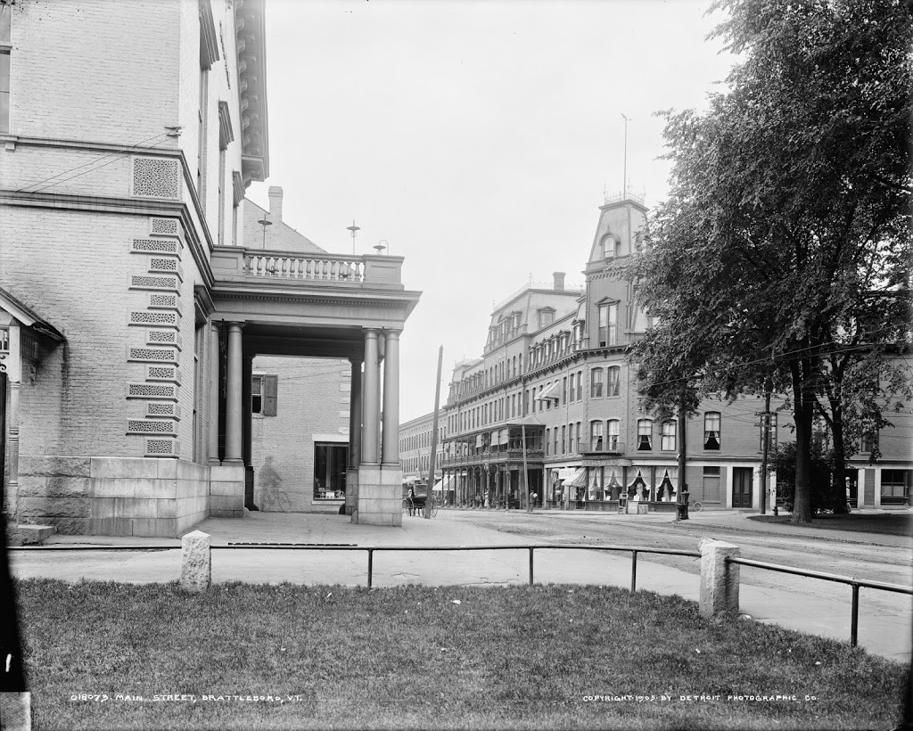
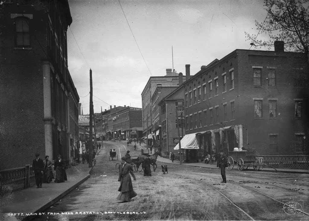
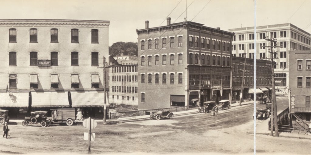
Facing northwest from the corner of Main & Canal Streets in Brattleboro, Vermont, around 1917. Image courtesy of the Library of Congress.
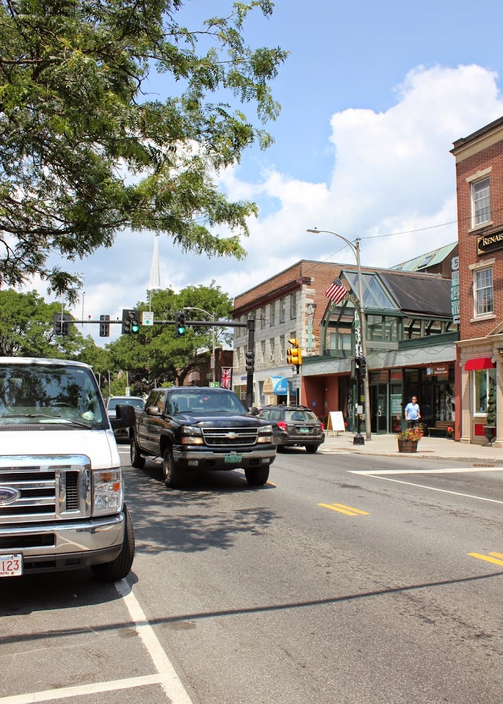
The scene in 2014:
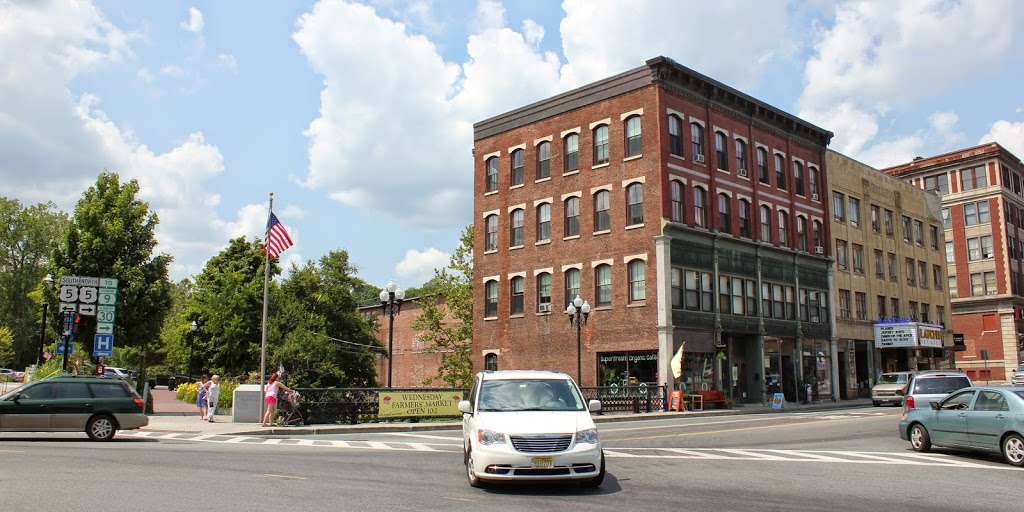
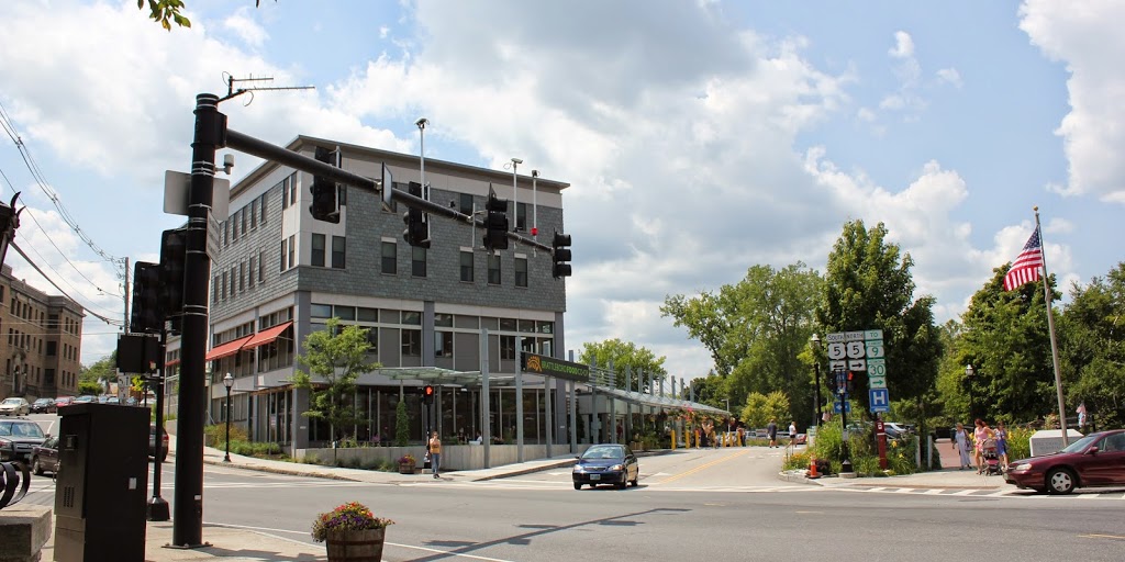
The building in the right-center of these two photos is the Wilder Building, which was built in 1875. It is at the southern end of Main Street, and is directly adjacent to the Whetstone Brook. In 2004, the top two floors of the building were heavily damaged by a fire, but the historic building was able to be restored, and today it continues to be used for mixed-use residential and commercial purposes. Further up Main Street to the right is the 1936 Latchis Hotel, which replaced the three-story commercial building in the 1917 photo. On the far right is the Barber Building, located at the corner of Main Street and Flat Street. It was built in 1915, so it was brand new in the 1917 photo, and today it is home to Sam’s Outdoor Outfitters.
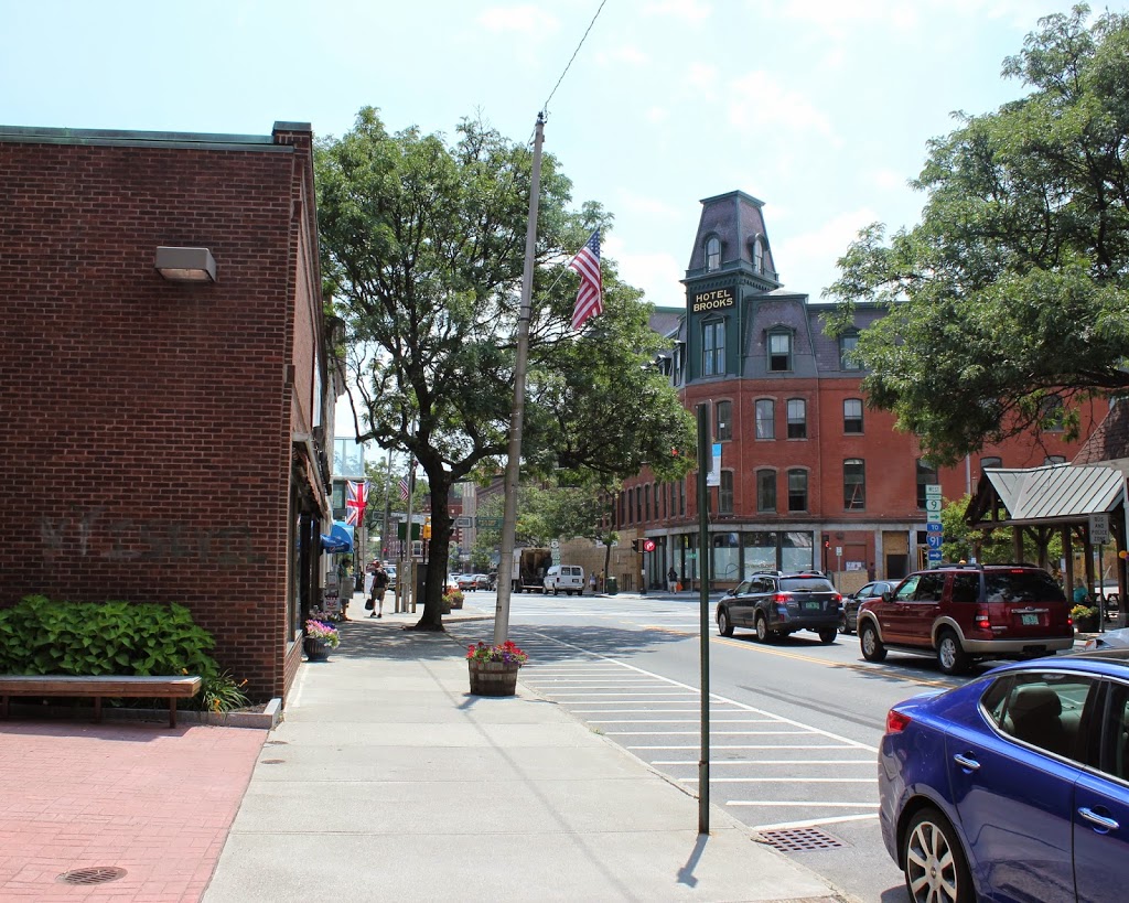
The top photo is part of a panoramic view; the other parts can be viewed here: