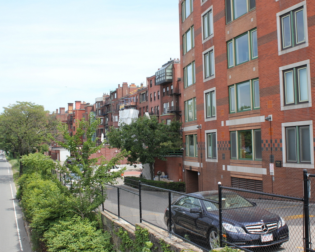
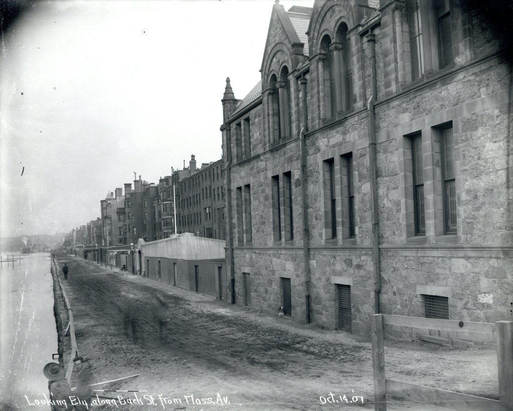
Looking east along Back Street in Boston from Massachusetts Avenue, on October 14, 1907. Image courtesy of the City of Boston Archives.
Back Street in 2015:

When the Back Bay was filled and developed into a residential neighborhood in the late 1800s, the houses on the north side of Beacon Street were only a few feet away from the Charles River, separated only by the narrow Back Street, which serves as an alley to access the back of the houses. Within a few years after the first photo was taken, though, this area began to change. In 1910, the Charles River Esplanade was completed as a public park along the banks of the Charles River, and the first photo was probably taken as part of the city’s preliminary work on the project.
By the late 1940s, traffic congestion in Boston required some of the land to be used to build a parkway, so in 1951 Storrow Drive was completed as a six lane, automobile-only road with low clearances and no shoulders. Most of the original parkland was lost, so more land was reclaimed from the Charles River on the other side of Storrow Drive. As a result, this section of Back Street is now over 250 feet from the Charles River, which isn’t even visible from the ground level anymore. Many of the 19th century rowhouses are still standing here, but the view from the north-facing windows has been drastically changed now that they have a highway in their backyards.

