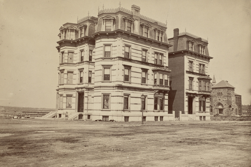
247-249 Union Street, Springfield, Mass

The duplex at 247-249 Union Street in Springfield, around 1938-1939. Image courtesy of the Springfield Preservation Trust.

719_1938-1939 spt (247-249 union)

The building in 2015:

719_2015
This Victorian duplex is one of several along this section of Union Street that were built as the city’s population began to spread out from the original downtown area.  Many middle class professionals lived in this area, including music store owner Levi M. Pierce, who lived in the unit on the right side.  He appears to have been the original owner, living here from its construction in 1870 until his death in 1908.  His two children, William and Leona, grew up here, and William went on to become the president of Kenyon College in Ohio, serving from 1896 until 1937.  Leona also distinguished herself in academia; she graduated from Smith College and later received her Ph.D from Yale in 1899, with scintillatingly-titled doctoral thesis: “On Chain-Differentiants of a Ternary Quantics.”  Leona took over her father’s music business after his death, and she was probably still living here when the first photo was taken.  Today’s scene shows a few modifications to the house, especially the front porch and the steps, but otherwise it is a good example of Second Empire architecture from the Victorian era in Springfield.

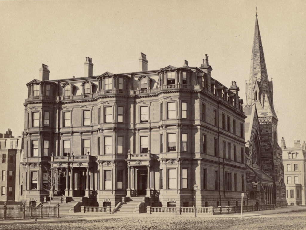
Commonwealth Avenue, Boston

Looking east on Commonwealth Avenue from near Kenmore Square, around 1910-1914. Image courtesy of the Library of Congress, Detroit Publishing Company Collection.

707_1910-1920c loc

Commonwealth Avenue in 2015:

707_2015
When the first photo was taken, the Kenmore section of Boston was still being developed. The apartment building on the right, which is missing in the first photo, was built in 1916, and the other houses in the photo aren’t much older.  These late Victorian-era homes were built in the late 1890s, around the same time as the Hotel Somerset, which can be seen in the distance in the lower center of the photos.  To the left is the median of Commonwealth Avenue, which was part of the original design of the Back Bay to have a wide avenue with a large, landscaped central median.  Although today Commonwealth Avenue has one way traffic on each side of the median, this apparently wasn’t the case in the early 1900s; the first photo shows traffic traveling in both directions on what is now the eastbound side of the road.

Around 100 years later, most of the buildings from the first photo are still standing today.  The houses to the right now have stores on the ground floors, but despite this there haven’t been any drastic alterations.  As mentioned in the previous post, the Hotel Somerset is still standing on the other side of the elevated Charlesgate, but it was converted into condominiums in the 1980s.  To the left in the median, part of the old subway portal is visible in the 2015 photo.  This section of the subway opened in 1914, probably not long after the first photo was taken, with the trolleys coming to the surface at this spot in the median before crossing Kenmore Square.  This portal has since been closed off, but the arch at the top is still above ground.

Back Street, Boston (2)

Looking east on Back Street in Boston from Hereford Street, probably in 1907. Image courtesy of the City of Boston Archives.

705_1880-1915c coba

Back Street in 2015:

705_2015
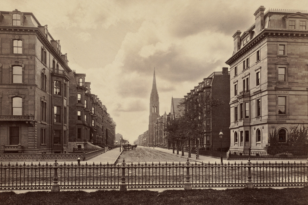
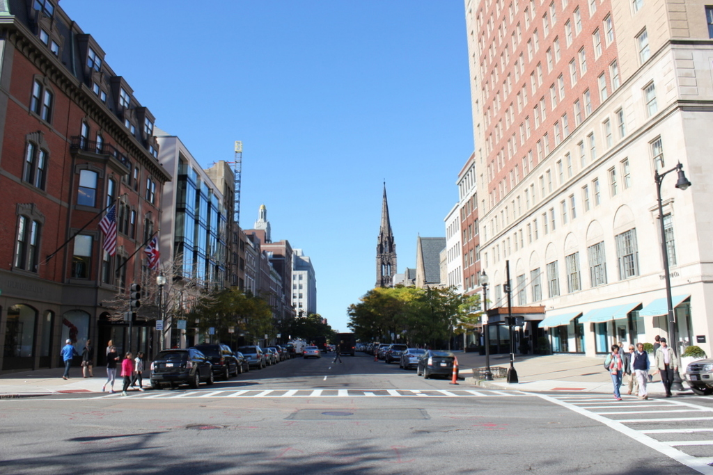
These photos show the scene only a block further down Back Street from the ones in this post, and the old photo here was probably taken on the same day as the other one.  As mentioned in the other post, Back Street is a narrow alley that is used to access the rear of the houses along the north side of Beacon Street.  When the first photo was taken, Back Street was the very northern end of the Back Bay, with only a flimsy-looking wooden guardrail separating the street from the Charles River.

Over time, this has changed, with the first change coming soon after the photo was taken.  In 1910, the Charles River Esplanade was completed along the Charles River, creating a long, narrow strip of public parkland between Back Street and the Charles River.  However, later in the 20th century much of the original park was taken to build Storrow Drive, a parkway connecting downtown Boston to the western parts of the city.  It isn’t visible because of the dumpster in the foreground, but Storrow Drive runs right next to the street, with only a low chain link fence separating the two.  On the other side of Storrow Drive, the Esplanade has been expanded, and can be accessed from Back Street via several pedestrian bridges.

Back Street, Boston

Looking east along Back Street in Boston from Massachusetts Avenue, on October 14, 1907. Image courtesy of the City of Boston Archives.

703_1907-10-14 coba

Back Street in 2015:

703_2015
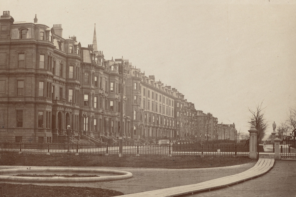
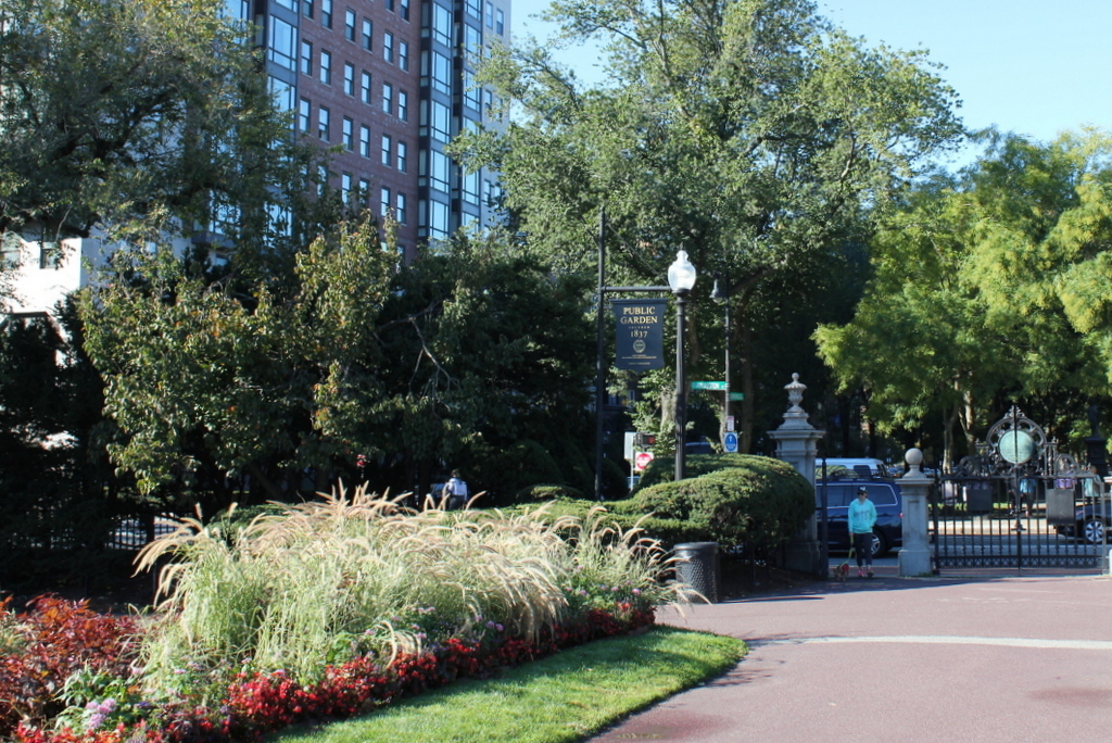
When the Back Bay was filled and developed into a residential neighborhood in the late 1800s, the houses on the north side of Beacon Street were only a few feet away from the Charles River, separated only by the narrow Back Street, which serves as an alley to access the back of the houses.  Within a few years after the first photo was taken, though, this area began to change.  In 1910, the Charles River Esplanade was completed as a public park along the banks of the Charles River, and the first photo was probably taken as part of the city’s preliminary work on the project.

By the late 1940s, traffic congestion in Boston required some of the land to be used to build a parkway, so in 1951 Storrow Drive was completed as a six lane, automobile-only road with low clearances and no shoulders.  Most of the original parkland was lost, so more land was reclaimed from the Charles River on the other side of Storrow Drive.  As a result, this section of Back Street is now over 250 feet from the Charles River, which isn’t even visible from the ground level anymore.  Many of the 19th century rowhouses are still standing here, but the view from the north-facing windows has been drastically changed now that they have a highway in their backyards.

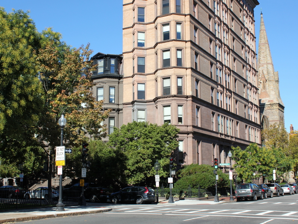
903-911 Boylston Street, Boston

The rowhouses at 903-911 Boylston Street, on the north side of the street between Gloucester and Hereford Streets, sometime between 1909 and 1914. Image courtesy of the City of Boston Archives.

698_1900-1915c coba

The buildings in 2015:

698_2015
Boston’s Back Bay neighborhood was developed over the second half of the 19th century, beginning at the eastern end on Arlington Street and progressing west over the decades.  By the 1890s, the project was mostly complete, so in 1892 these Victorian rowhouses were among the last to be built.  Today, they are among the few 19th century residential buildings still standing on Boylston Street; most had been demolished in the early 20th century when the street became a major commercial center.

By the time the first photo was taken, the houses had already transitioned into commercial properties, with extensive renovations on the ground floor to make storefronts.  Many of the buildings along these few blocks of Boylston Street had automobile dealerships on the ground floor, including all three of these rowhouses.  On the far right is the Warren Motor Car Company, which helps provide a date for the photo.  Like many early car manufacturers, they didn’t last long, only manufacturing cars from 1909 to 1914.

In the middle is the Whitten-Gilmore Company, who according to the window lettering sold Chalmers cars, and the dealership on the left sold Stevens-Duryea and Waverley cars.  Stevens-Duryea was founded in 1901 by J. Frank Duryea, who along with his brother had invented the first gasoline powered automobile in America in the 1890s.  The company operated out of Chicopee Falls, Massachusetts, until closing in 1927.  Waverley did not have the same success that Stevens-Duryea or Chalmers had, but they were one of several early 20th century manufacturers of electric cars.  Although electric cars are usually associated with the 21st century, they were fairly popular until the 1910s, when their limited range and slow recharging times made gasoline-powered cars a more attractive alternative.

Today, the building on the left is still standing, although it has seen some drastic changes, especially the removal of all but the lower two floors.  However, the other two rowhouses look basically the same on the upper floors, giving a small surviving glimpse into 19th century Boylston Street.  The car dealerships are long gone, of course, and today cars are sold on large suburban lots rather than in converted Victorian houses.  The building on the left now houses McGreevy’s, which is advertised on the sign as “America’s first sports bar.”  It is named after Michael T. McGreevy, the owner of the Third Base Saloon and the leader of the Boston Red Sox “Royal Rooters” fans.  His baseball-themed bar closed during prohibition, but his extensive collection of photographs that once hung on the wall were donated to the Boston Public Library, and I have recreated several of them in this blog, here and here.  The current McGreevy’s bar seen here has no direct connection to the original Third Base Saloon, though; it opened in 2008 and is owned by Ken Casey, the bassist for the Dropkick Murphys.

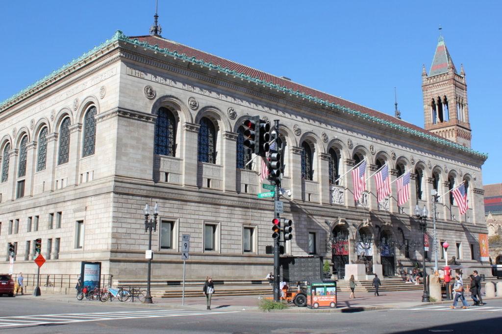
Beacon and Park Streets, Boston

Looking east on Beacon Street from in front of the State House, sometime around 1885. Image courtesy of the Boston Public Library.

692_1800sc bpl

The scene in 2022:


Despite all of the changes in downtown Boston during the past 130 years, there are several buildings from the first photo that survive today.  The building at the corner doesn’t bear much resemblance to its former self, but it is the same one that is seen in the first photo.  It was built in 1804 for merchant Thomas Amory Jr., and was one of several houses on Park Street that were designed by Charles Bulfinch.  The home occupies a prominent position next to the Boston Common and across the street from the Massachusetts State House, but the cost for the massive house ruined Amory’s finances, and he had to sell it in 1807.

After Amory sold it, the house was divided into four different units, which were rented to some of Boston’s most prominent citizens.  Senator and Cabinet member Samuel Dexter lived here, and Christopher Gore took advantage of the house’s proximity to the State House and lived here while serving as governor in 1809 and 1810.  In 1824, the Marquis de Lafayette stayed here during his tour of the United States, and Boston Public Library founder George Ticknor lived on the Park Street side of the house from 1830 until his death in 1871.  Around 1885, the house was extensively renovated on the exterior, with iron storefronts replacing the original first floor windows, oriel windows on the third and fourth floors, and three dormers on the right-hand side of the roof.  Today, several different businesses occupy the first floor storefronts, including Fox 25 News in the corner storefront.

The other historic building that has survived from the first photo is the Claflin Building, located just beyond the Amory-Ticknor House on Beacon Street.  It was completed in 1884, and is one of architect William Gibbons Preston’s several surviving buildings in Boston, along with the Armory of the First Corps of Cadets and the Museum of Natural History building.  The Claflin Building was built for the newly-founded Boston University, who used the upper floors for school offices and rented the first floor storefronts.  The school owned the building until the 1940s, when it moved to its present campus on Commonwealth Avenue, and today it has been renovated into condominiums.