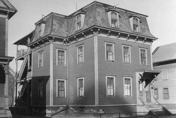
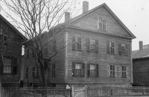
John Dickinson House, Hatfield, Massachusetts

The house at the corner of South Street and Bridge Lane in Hatfield, in April 1934. Image taken by Arthur C. Haskell. Library of Congress, Historic American Buildings Survey Collection.

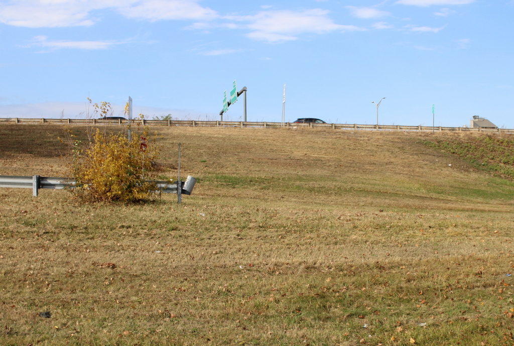
The house in 2024:

This house, which is also referred to in some sources as the Morton House, was built around 1762 by John Dickinson. It is a saltbox-style house, with a second story on the front part of the house and a long, sloping roof in the back. This design was typical for mid-18th century homes in the Connecticut River valley, and the large center chimney was also a common feature from homes of this period. However, this house is probably best known for its elaborate front doorway. Such doorways were often found on higher-end homes in the valley during the mid-18th century, although this one is unusual because it is topped by a rounded pediment, rather than the more common flat-top or scroll pediments.

During the 19th century, the house was owned by the Morton family, with the 1873 county atlas showing an M. Morton here. By the time the top photo was taken in 1934, it was owned by Eugene E. Jubenville. The photo was part of the Historic American Buildings Survey documentation of the house, which also included a series of architectural drawings of the interior. By this point, the exterior of the house had undergone some changes, including the installation of exterior shutters and 2-over-2 windows, but overall it retained much of its 18th century form, including its distinctive doorway.

Today, the house is still standing here, as shown in the second photo. There have been some changes, including the loss of the outbuildings and barns behind the house, but otherwise the house itself has seen few changes. In some ways, it even looks more true to its historic appearance now than it did in 1934, due to the removal of the shutters and the installation of 18th century-style 12-over-12 windows. The ornate doorway is also still there, although it is now hidden from this angle by the large hydrangea bush. This plant must be around 100 years old now, because it is also visible in the 1934 photo, back when it was much smaller.

David Billings House, Hatfield, Massachusetts

The house at 18 Main Street in Hatfield, Massachusetts, in 1938. Image taken by Arthur C. Haskell. Library of Congress, Historic American Buildings Survey Collection.

The house in 2024:

This house was built in 1783 as the home of Lieutenant David Billings (1731-1807). It stands on the east side of Main Street, between the street and the Connecticut River, with a lot that originally extended all the way back to the river. The house remained in the Billings family for many years, and subsequent owners included his grand nephew Joseph Dickinson Billings (1813-1882), and then by Joseph’s daughter Mary Billings Dickinson (1843-1922). It is an excellent example of an early Federal-style house, and in 1910 the A History of Hatfield, Massachusetts noted that [t]he house has the same appearance as of old, having been kept in excellent repair.”

The top photo was taken in 1938, as part of the Historic American Buildings Survey (HABS). This federal program involved documenting historic architecture across the country, and this house was one of several here in Hatfield that were included. At the time, the house still retained its original exterior appearance, but later in the 20th century it was altered with the installation of modern materials, including aluminum siding. However, the exterior has since been restored, and it now much more closely resembles its original appearance when compared to how it looked a few years ago.

Theodore Roosevelt’s Carriage Accident, Pittsfield, Massachusetts (3)

The wrecked carriage that President Theodore Roosevelt had been riding in on South Street in Pittsfield on September 3, 1902. Image courtesy of the Harvard Library, Theodore Roosevelt Collection.

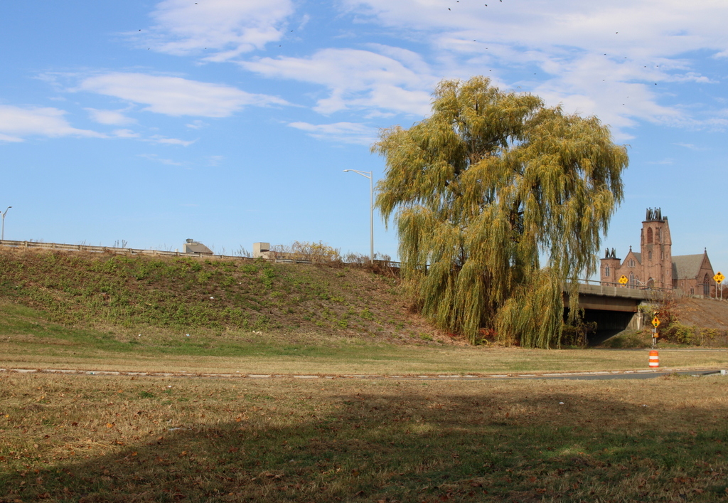
The scene in 2023:

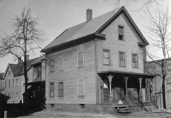
As explained in more detail in an earlier post, this spot on South Street was the site of a collision between an electric trolley and a horse-drawn carriage that was carrying President Theodore Roosevelt on September 3, 1902. It occurred on a section of South Street just south of the culvert over Wampenum Brook, when both the carriage and the trolley were heading south toward Pittsfield Country Club. Just beyond the culvert, the roadway narrowed, requiring southbound vehicles to cross over the tracks to continue.

The trolley, which was car 29 of the Pittsfield Street Railway, was filled with passengers hoping to see the president at the country club. Its conductor was James T. Kelly, and it was operated by motorman Euclid Madden. In the carriage, aside from the president, was Governor Winthrop Murray Crane, Roosevelt’s aide George Cortelyou, Secret Service bodyguard William Craig, and driver David J. Pratt. The carriage itself was a landau, and had a team of four horses.

The exact speed of the trolley was later subject to much debate, with some claiming that the crew was being pressured to travel at an unsafe speed to overtake the president before he reached the country club. Either way, at around 9:45 a.m. the trolley struck the left front wheel of the carriage while the carriage was starting to cross the tracks. The impact threw both Craig and Pratt from the carriage, killing Craig instantly and severely injuring Pratt. The other three occupants sustained relatively minor injuries, although Roosevelt had a cut on his lower lip, bruising and swelling on his face, a black eye, and a bruised left shin.

In the aftermath, once Roosevelt discovered that Craig was dead, the president confronted the motorman, with the next day’s Boston Globe quoting him as saying:

This is the most damnable outrage I ever knew. If you lost control of your car, there is some excuse, but if you tried to pass us, disregarding all our warnings, you ought to be punished.

Other accounts add that Roosevelt shook his fist while saying this, and then questioned Madden about why he was operating the trolley in such a manner, to which Madden supposedly protested that he had the right of way.

Following this confrontation, the president and his party went to the home of Maroa Stevens, a 53-year-old widow who lived in the house directly across the street from the accident. This house was blocked from view in the top photo because of the wrecked carriage and the bystanders in the foreground, but it is still standing here, and it is shown in the center of the bottom photo. There, his surgeon treated his injuries, and he rested and recuperated in the house for about a half hour. During that time, a new carriage was obtained, and he then continued his journey toward Lenox and eventually back to his home on Long Island by the end of the day.

Today, the scene looks very different from its appearance in 1902, and there are no historical markers or other indication that the accident occurred here. The only readily-identifiable landmarks from contemporary accounts of the accident are the culvert over the Wampenum Brook, which is located on the far left side of the photo, and the Stevens house in the center of the photo.

Town Center, Ashfield, Massachusetts

The town center in Ashfield, around 1891. Image from Picturesque Franklin (1891).

The scene in 2024:

These two photos show the town center of Ashfield, looking east on Main Street from the corner of Norton Hill Road. In the center of both photos is the town hall, which was formerly the congregational church. It is one of the most architecturally significant early 19th century meetinghouses in Western Massachusetts, with a distinctive ornate steeple, as shown in the top photo. The top of this steeple has been temporarily removed for restoration work, which is why it is missing in the bottom photo.

The meetinghouse was originally built about a half mile south of here on Norton Hill Road, adjacent to the Hill Cemetery. Construction began in 1812, with Colonel John Ames of nearby Buckland as the contractor and presumed architect. Ames had built several other churches prior to this one, including ones in Marlborough and Northborough. However, he did not live to see this one completed, because he committed suicide on September 4, 1813. According to the 1910 book History of the Town of Ashfield, Franklin County, Massachusetts, “the contractor, broken in health by hard labor, heavy responsibility and fear of loss, committed suicide by cutting his throat with a chisel in the back part of what is now the cemetery on the hill.”

The building was eventually completed in 1814, and it stood on its original location until 1856, when it was moved down the hill to its current location on Main Street. The church hired a Mr. Tubbs of Springfield to move the building at a cost of $700. However, this ended up being a challenging task, as described in History of the Town of Ashfield:

The contract with Mr. Tubbs was made about April 1st, but as it was a late spring that year the moving could not begin until May 15. As the house was built facing the east it could be started straight ahead. It proved to be a much heavier building than Mr. Tubbs had supposed, and his apparatus broke several times and had to be replaced. At no time could it be moved without raising up the back end so that the whole house would pitch forward. The house was taken straight across the old road south of John Sears’ bam and into the road again at the turn. As anyone can see, it would take a large amount of blocking here to get the house across the hollow, and the moving committee had to hustle around for more. Here Mr. Tubbs struck and said he would go no further with it unless the committee would furnish a team to move the blocking. This, they had not agreed to do but they finally bought a pair of oxen, Mr. Tubbs agreeing to furnish the driver. The oxen were kept in Mr. Moses Cook’s pasture which then came to the road and included what is now Charles Bassett’s mowing lot. In going down the hill it was found necessary to hitch on a big boat load of stone to keep it from going on too fast. When it had arrived at the place where it was to stand, the contractor was going to leave it on the blocking pitched down hill, and the committee had to give him $80 more to put it on the foundation. People now living who saw the moving think the building inclined three or four degrees from the perpendicular, and was very noticeable.

Here at its new location, the building continued to be used as a church until 1870, when the First Congregational and Second Congregational churches merged and moved into a newer church building across the street. The older building was then sold to the town of Ashfield, and it became the town hall. Over the course of the 19th century, the town made a series of improvements and repairs to the building to make it functional as a town hall, including repairing lightning damage after the front of the building was struck in 1897.

Aside from the town hall, there are two other buildings visible in the top photo. Immediately to the right of the town hall is a Greek Revival style home, which was built in the first half of the 19th century. According to the Massachusetts Cultural Resource Information System (MACRIS) documentation for this house, it was the home of the Knowlton family by the 1850s, and was later owned by Archibald Flower. During the early 20th century, the artist William Curtis lived here, and by 1927 it was the Georgianna Inn, which was run by Georgianna Corbett. The house originally did not have a front porch, but one was added around the 1880s or early 1890s, as shown in the top photo.

Closest to the foreground, on the far right side of the scene, is another 19th century building. According to its MACRIS form, it was built around 1835 by Josephus Crafts as a general store. His brother Albert Crafts Sr. later took over the store, followed by Albert’s sons Albert Jr. and William, and it remained in the family for just under a century, until it was sold in 1934. As built, the store was one and a half stories, as shown in the top photo, but around 1894 it was significantly expanded with a full second floor.

Today, more than 130 years after the top photo was taken, all three buildings are still standing, notwithstanding the significant alterations to the store in the foreground. The historic meetinghouse remains in use as the town hall, although it is currently missing the top of its distinctive steeple due to repair work. There have also been some other changes in the area, including the fire station just beyond the town hall, but overall this scene is still very recognizable from the top photo.

First Church, Mount Washington, Massachusetts

The First Church of Christ in Mount Washington, Massachusetts, at the corner of East Street and Cross Road around 1893. Image from Picturesque Berkshire (1893).

The scene in 2024:

Throughout its history, the town of Mount Washington has been one of the smallest communities in the state in terms of population. It is located in the midst of the Taconic Mountains in the southwestern corner of the state, with only a few roads leading out of the town. This isolation, combined with its mountainous terrain, limited development in the town, and it never grew much larger than a few hundred residents.

Unusual for Massachusetts communities is the fact that, for many years, the town lacked an organized church. Although settled by colonists around the 1750s, and incorporated as a town in 1779, Mount Washington would not have its own church building until 1869, when this Carpenter Gothic style building was built at the corner of East Street and Cross Road. This site is the de facto town center, since town hall is also located here. The current town hall building was constructed in 1855, and it stands in the distance beyond the church in both photos. Otherwise, though, the development here consists of houses that are scattered along the roads that radiate outward from here.

The church was dedicated on November 24, 1869. The following week’s Pittsfield Sun provided a short description of the event:

The new Union Evangelical Church at Mount Washington, just completed at a cost of $2700, by the efforts of the surrounding churches in the south part of the county, was dedicated on Wednesday of last week. The sermon was preached by Rev. Dr. Gale of Lee, and prayer offered by Rev. Mr. Phelps of Egremont. Nearly the entire population of the town were present, most of them coming in sleighs. The meeting house stands at the base of Taconic Dome, and is a gem among the mountains.

The town’s population stood at about 250 people at the time, and it would see some growth over the next few decades, eventually reaching over 400 by the time the top photo was taken in the early 1890s. However, the town’s population experienced a precipitous decline in the early 20th century. The lowest recorded population in Mount Washington was just 34 people, in both the 1950 and 1960 censuses. Since then, the population has grown, but it remains low compared to its 19th century figures, with 160 residents as of 2020.

Due to the lack of growth in the town, not much has changed in this scene since the top photo was taken more than 130 years ago. The church still stands, and it is home to an active congregation, and the town hall in the distance likewise remains in use.

Town Center, Montgomery, Massachusetts

The town center on Main Road in Montgomery, Massachusetts, around 1892. Image from Picturesque Hampden (1892).

The scene in 2024:

Throughout its history, Montgomery has been one of the smallest towns in Hampden County, with a population that has never even reached 900 at any point. It is nestled in the hills to the northwest of Westfield, and it was first settled b European colonists around the 1760s, before becoming an incorporated town in 1780. Its population fluctuated during the 19th century, reaching as high as 740 by 1840, before plummeting to 393 a decade later. It steadily diminished in population over the next century, reaching as low as 141 in 1930 before seeing steady population growth during the second half of the 20th century. Nonetheless, the town remains small and rural, as shown in these two photos.

This site is usually referred to as the town center, mainly because it is the site of the meeting house and the town hall. However, this was never a true village or population center, as historically the town’s development consisted primarily of farms that were scattered across the landscape. But, because this spot is near the geographic center of the town, it was a logical place to gather for church services and town meetings

The town center consists of three Greek Revival-style buildings, as shown in the top photo. On the right side is the Montgomery Community Church, which appears to have been built in 1848 on the site of an earlier 1797 meeting house. The property had been owned by the town until 1848, when a new town hall was built immediately to the west of it, as shown in the distance to the left of the church in the top photo. The old meeting house was then sold to the town’s Congregational church, which subsequently built the current Greek Revival structure. A year later, in 1849, the town’s Methodist society constructed their own church building across the street, as shown on the left side of the scene.

Despite this late 1840s construction boom here in the town center, the town’s population was by this point on a downward trend. The 1850 census showed 393 inhabitants, and it would continue to decline for many decades afterwards. Both churches struggled to sustain themselves, with the Methodists only holding services in the summer and fall. The Congregational church eventually closed in the late 1860s, and the building was later used by a Second Adventist group.

By the time the top photo was taken around the early 1890s, the town’s population had dropped to under 300 residents. All three of the buildings from the 1840s were still standing here, and they were joined by a carriage shed, which was built around 1890 in the distant center of the scene.

Today, more than 130 years after the top photo was taken, not much has changed in this scene. The landscape is more forested, making it difficult to get the exact same angle as the top photo. The trees also hide the buildings on the right, but they are still standing, although their uses have changed over time. On the left side, the former Methodist church is now the town hall, and it has been expanded to include space for the town offices, library, and senior center. On the right side, the old town hall is now the historical society, and the former congregational church is now the Montgomery Community Church. The late 19th century carriage shed is also still standing, and collectively these buildings stand as a well-preserved example of a rural town center.