Times Square

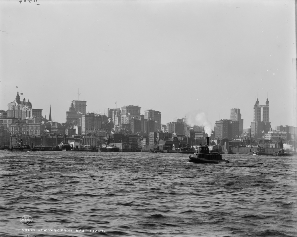
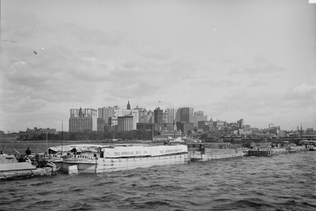
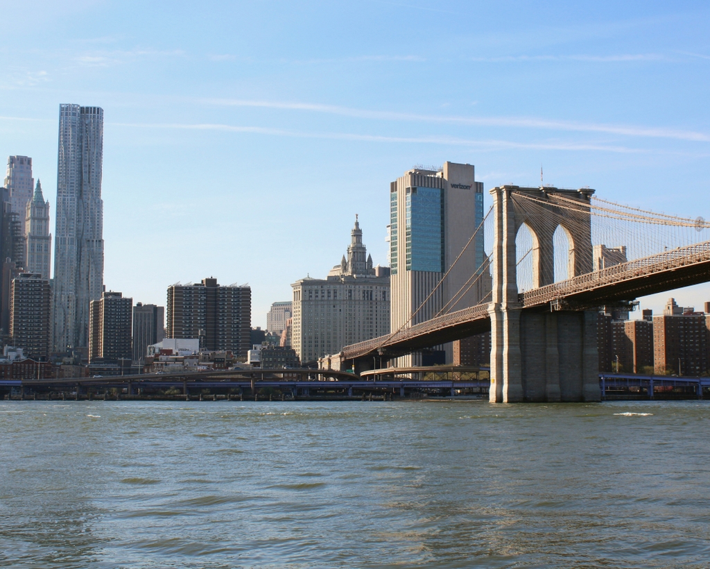
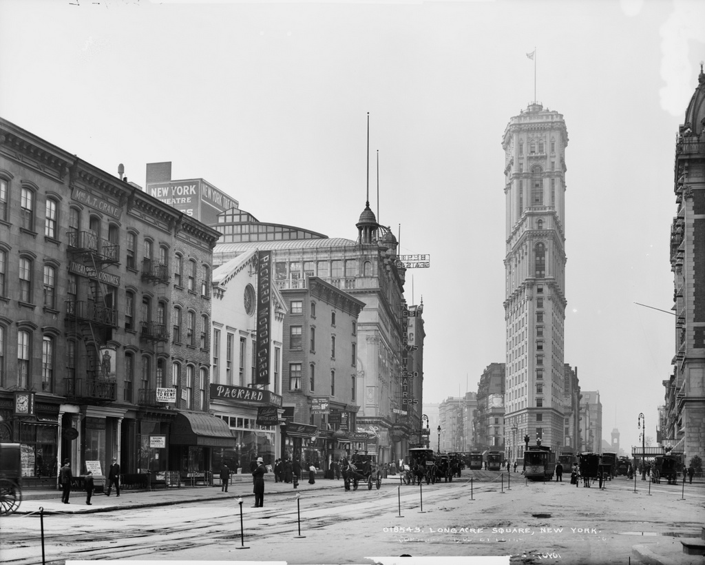
Times Square, as it appeared around 1905. Image courtesy of the Library of Congress, Detroit Publishing Company Collection.

130_1905c loc

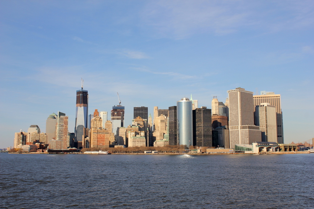
The same view in 2014:

130_2014

The tall building toward the right-hand side of the 1905 photo is actually still there – it’s the Times Square Building, and was the headquarters of the New York Times in the early 20th century, hence the name “Times Square.” The New York Times hasn’t used the building in a century, but it’s still there, covered in billboards, and with the famous New Years ball at the top. Because of the building’s narrow dimensions, it’s actually more profitable to cover it in billboards and electronic signboards instead of renting it out.  Otherwise, all of the other buildings in the first picture are either gone or are completely hiding behind billboards and signs.  I think I like the 1905 photo better.

Manhattan Skyline from Brooklyn

The view from Brooklyn looking toward Manhattan, around 1900. Image courtesy of the Library of Congress, Detroit Publishing Company Collection.

127_1900c loc

The view, at night, in 2013:

127_2013

The skyline of Lower Manhattan has changed substantially in the past century, as seen in the previous photos I have posted on here. I don’t have any daytime photos of this view today, but I felt that this night photo sufficiently captured the changes that have happened. As far as I can tell, none of the buildings in the first photo are visible in the 2013 one. Some, including the Park Row Building on the far right of the first photo, still exist, but are hidden behind the modern skyline.

Manhattan Waterfront from Brooklyn Bridge

The view of Lower Manhattan, looking south from the Brooklyn Bridge, around 1901. Image courtesy of the Library of Congress, Detroit Publishing Company Collection.

128_1901c loc

The view from the Brooklyn Bridge in 2013:

128_2013

Manhattan’s waterfront is quite different today from 100 years ago. Once a major transportation hub, today the FDR Drive along the waterfront is a major transportation corridor, instead of the East River that it runs parallel to. In the foreground of the first photo are the piers for the New Haven Line, a steamship company that operated ferries between Manhattan and New Haven, with railroad connections to points north. The closest steamship is the SS Robert Peck, which was built in 1892 as the flagship of the line. In 1943, it was transferred to the Navy, and served as floating barracks for part of World War II.

Lower Manhattan (4)

The view of Lower Manhattan from New York Harbor, between 1900 and 1906. Image courtesy of the Library of Congress, Detroit Publishing Company Collection.

129_1900-1906 loc

The view in 2012:

129_2012

The first photo shows the Manhattan skyline in the background, with a group of barges passing through to the East River from Albany. Today, the barges are long gone, and the skyline has changed substantially, with low-rise buildings along the waterfront being replaced by modern skyscrapers. Battery Park is still there, though, visible along the left-hand side of the waterfront in both photos. As this photo was taken a few years ago, the new World Trade Center buildings are seen still under construction.


Manhattan and Brooklyn Bridge

The view of Manhattan and the Brooklyn Bridge from Brooklyn, around 1900. Image courtesy of the Library of Congress, Detroit Publishing Company Collection.

126_1900c loc

The view in 2013:

126_2013

The scene in 2023:

The difference is like night and day.  Cheesy puns aside though, there is quite a difference in the Manhattan skyline between the two photos, over 100 years apart.  The Brooklyn Bridge is still there, but otherwise, as far as I can tell, none of the buildings in the first photo are visible in the second.  At least one of them – the tall Park Row Building at the far left of the first photo – still exists today, but I don’t think it can be seen from here.

April 2023 Update: I have added an updated photo, showing the scene during the daytime.

Brooklyn Bridge Promenade

The view along the Brooklyn Bridge Promenade, looking toward Manhattan, between 1908 and 1920. Image courtesy of the Library of Congress, Detroit Publishing Company Collection.

125_1908-1920 loc

The same view in 2013:

125_2013

The angle here isn’t exact, since they were taken from different sides of the walkway, but both photos show the same view of the Brooklyn Bridge and of the Manhattan skyline.  The first photo is interesting, because although the subject of the photo is the bridge, the background shows three different buildings that were, at one point, the tallest in the world:

1. New York World Building: The tallest from 1890 to 1894, demolished in 1955 to expand the approaches for the Brooklyn Bridge.  The dome of the building is barely visible under the left-hand arch of the bridge tower.

2. Park Row Building:  Held the record from 1899 to 1901, and the building still exists, although it’s not visible in the 2013 photo.  It can be seen in the first photo, near the center, with the two towers on top.

3. Singer Building: Held the record from 1908 to 1909, and was demolished in 1968.  It is readily visible on the far left of the first photo, and its location today is marked by One Liberty Plaza, the large black rectangle at the base of the new World Trade Center building.