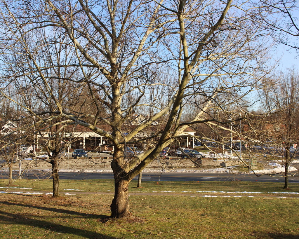
28-30 Congress Street, Springfield, Massachusetts

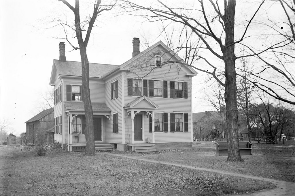
The building at 28-30 Congress Street in Springfield, around 1938-1939. Image courtesy of the Springfield Preservation Trust.

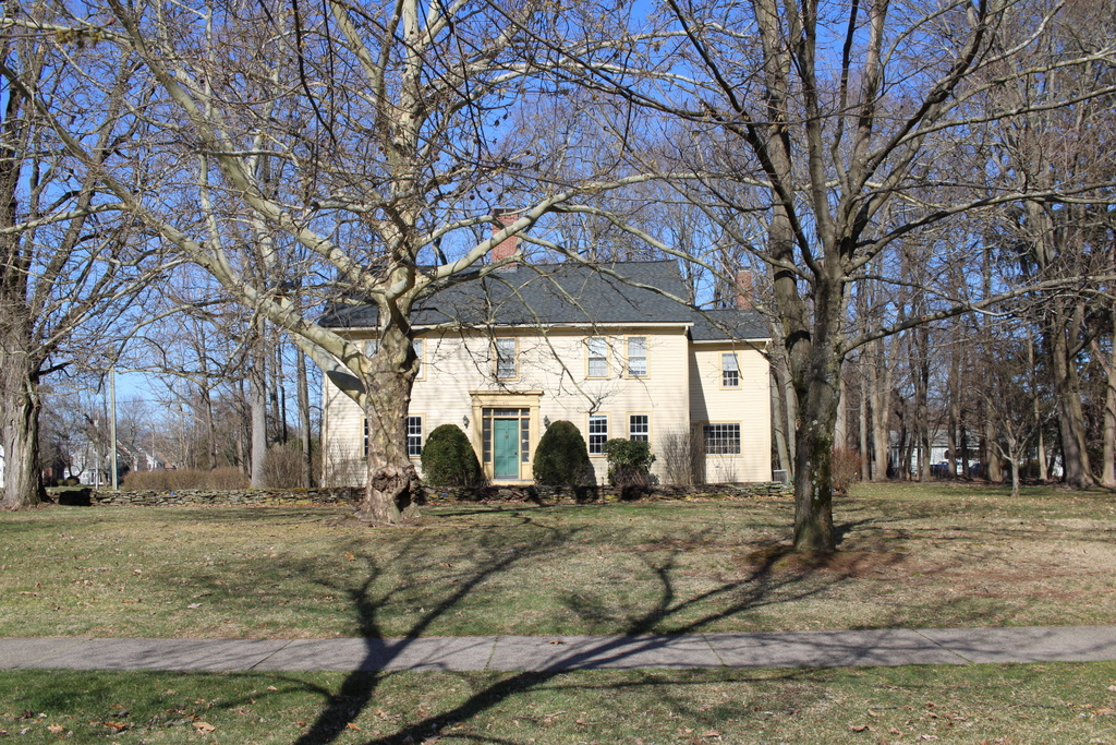
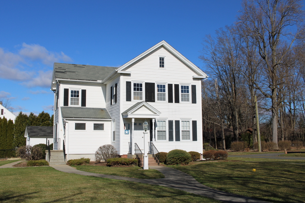
The same scene in 2024:

The early history of this building is difficult to trace, but it appears to have been built sometime around the 1850s. This date coincides with the large-scale development of this part of Springfield, and it is also consistent with some of the architectural features on the house, particularly the rounded Italianate-style windows in the front gable. It was owned by the Dunn family in the late 19th century, who evidently used it as a rental property. The 1899 city atlas shows it, along with the house next door at 24 Congress Street, as belonging to Margaret J. Dunn.

Margaret Dunn, a 65-year-old Irish immigrant, was living in the house at 24 Congress Street during the 1900 census, and she rented the house in the top photo to three different families, most of whom were also Irish. These included Ellen Fogarty, a 38-year-old widow from Ireland who lived at 28 Congress Street with her four children, who ranged in age from 5 to 17, and also her 22-year-old niece. Also living at 28 Congress Street was Martin Dillon, a single 35-year-old Irish immigrant who lived here with his sister Margaret, brother John, and two nephews and a niece. The third family in this building, in the unit at 30 Congress Street, was Adolphus Mason, a 50-year-old French-Canadian immigrant who lived here with his wife Mary, who was the daughter of Irish immigrants. They had one surviving child, 19-year-old Catherine, who lived here with them.

By the 1920 census, the house in the top photo was still owned by the Dunn family, and it was still rented primarily to other Irish families. There were four families living here at the time, with Napoleon and Mary Bluteau and Mary Morgan at 28 Congress, and Fred and Ellen Gaylord and Thomas and Anna Walsh at 30 Congress. A decade later, in the 1930 census, Thomas and Anna Walsh were still living here along with their son James, while Mary Morgan and her son John were still living in the unit at 28 Congress. The two families paid $14 and $13 per month in rent, respectively.

By the time the top photo was taken in the late 1930s, the house was evidently vacant. It was listed as vacant in the 1939 city directory, and the 1940 census likewise does not show any residents here. The building seems to have been used only sporadically for housing during the 1940s and 1950s, and it was demolished by the early 1960s, when this entire part of Springfield was redeveloped as part of a large-scale urban renewal project. Today, the site of the house is part of the parking lot for Northgate Plaza, which is located at the corner of Main and Congress Streets.

Springfield City Library, Springfield, Massachusetts

the Springfield City Library, shown from near the intersection of State and Chestnut Streets in Springfield, around 1905. Image from Springfield Present and Prospective (1905).

The scene in 2024:

The origins of the Springfield City Library date back to 1857, when the quasi-public City Library Association was established through the merger of the collections of the Young Men’s Institute and the Young Men’s Literary Association. It was initially funded through private donors, but it was located within city hall starting in 1859, and it began receiving funding from the city starting in 1864. Then, in 1871 its first purpose-built library was constructed here on State Street just east of Chestnut Street on land that had been donated by George Bliss. It was built of brick, and it was designed by New York architect George Hathorne, with a High Victorian Gothic style that was popular for public buildings of this period.

The top photo shows the building viewed from the west, from the corner of State and Chestnut Streets. In the foreground is Merrick Park, and just beyond the library is the steeple of St. Michael’s Cathedral. The library building was only about 20 years old by this point, but its collections had grown significantly larger during this period. When it opened in 1871 it housed about 31,400 books, but by the late 1890s it had around 136,000 books, and the city was in need of a new library.

The new library was constructed starting in 1909, with money that was donated by steel magnate and philanthropist Andrew Carnegie. It was built on the same site as the old building, so to keep the library open during construction the old building was moved about 200 feet northward, onto what is now the Quadrangle. Work on the new building was completed in 1912, and it opened to the public on January 10, 1912. The old library was then demolished a few months later.

Today, the 1912 library is still standing here. Just behind the library is the Quadrangle, a small park that is surrounded by two art museums, a science museum, and the Dr. Seuss Museum. The oldest of these buildings, the George Walter Vincent Smith Art Museum, was built in 1895, only a few years after the top photo was taken. It is partially visible on the far left side of the 2024 photo. Despite these changes, though, the scene is still recognizable from the top photo because of Merrick Park in the foreground, which still features the same granite curbing. On the other side of the library, St. Michael’s Cathedral is still standing, but it is not visible from this particular angle.

Main Street from Liberty Street, Springfield, Massachusetts

The view looking north on Main Street from the corner of Liberty Street (modern-day Frank B. Murray Street) in Springfield, around 1892. Image from Picturesque Hampden (1892).

The same scene in 2024:

These two photos show the view of Main Street from just north of the modern-day railroad arch, facing toward the North End. The scene in the top photo includes a mix of older wood-frame buildings, along with newer and larger brick commercial blocks. The largest of these was the furniture store of George Delaney, which has the large painted signs on the side of it in the top photo. According to an 1889 newspaper advertisement in the Springfield Republican, Delaney was a “Dealer in carpets, chamber suits, parlor sets, all kinds of furniture, stoves, ranges, etc., for cash or easy payments.”

The wooden building in the foreground at the corner was evidently demolished by 1920, because the city atlas shows a brick one in its place. Likewise, the two story building beyond the Delaney building was also gone by 1920. Both the Delaney building and the three-story brick building farther in the distance were still standing in the late 1930s, but everything here would ultimately be demolished by the early 1960s as part of a large-scale urban renewal project that leveled almost everything north of the railroad arch and south of Memorial Square.

Today, this scene includes a medical office building in the foreground on the right, and the main Springfield post office farther in the distance. The 1960s urban renewal project also included eliminating, rerouting, or renaming some of the streets in the area. The old Liberty Street became Frank B. Murray Street, and Ferry Street—which is located a block farther in the distance—became the new Liberty Street.

State Street, Newburyport, Massachusetts

The view looking north on State Street from the corner of Essex Street in Newburyport, around 1865-1885. Image courtesy of the New York Public Library.

The scene in 2024:

Located at the mouth of the Merrimack River in the northeastern corner of Massachusetts, Newburyport was a major seaport during the 18th and early 19th centuries. During this time, it prospered from the shipping, fishing, and shipbuilding industries. These two photos show State Street facing toward Market Square in the distance. This was the commercial hub of Newburyport, and the streets around here are lined with brick, three-story commercial buildings that primarily date to the early 19th century. This area suffered a devastating fire in 1811, and many of the buildings that are shown in these photos were built in the immediate aftermath of the fire.

During the second half of the 19th century, Newburyport’s economic prosperity began to decline. Shipping became increasingly concentrated in larger northeastern ports like Boston and New York, although Newburyport continued to be an important shipbuilding center for many years. However, as ships grew larger, and as steamships began replacing sailing vessels, Newburyport’s small harbor became inadequate. For part of the 19th century, the textile industry provided a boost to the local economy, but the city could hardly compete with the much larger water-powered industrial cities farther upstream, such as Lawrence and Lowell.

By the time the top photo was taken, Newburyport’s population stood at about 13,000 people. This was a considerable increase from earlier in the 19th century, but the city would see only very modest growth in future decades. This stagnation was a result of the economic decline of the city, but it also had the unintended effect of preserving much of Newburyport in its early 19th century appearance, as shown in the comparison between these two photos, which has nearly all of the same buildings in both photos, despite the passage of around 140-150 years.

However, Newburyport’s well-preserved downtown area was nearly lost in the 1960s, when it was the subject of a large-scale urban renewal project that would have leveled the early 19th century commercial center in favor of strip malls and parking lots. Thankfully, preservation advocates were successful in having this project scrapped, and instead the State Street area was restored in the 1970s. As a result, Newburyport’s downtown area is now a strong asset to the city, and it survives as a remarkably well-preserved example of an early 19th century New England seaport.

Albert Ward House, Pelham, Massachusetts

The house at the corner of Packardville Road and Juckett Road in Pelham, on November 7, 1928. Image courtesy of the Metropolitan District Water Supply Commission, Quabbin Reservoir, Photographs of Real Estate Takings.

The scene in 2025:

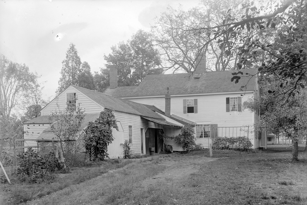
This house was located at the southeast corner of the intersection of Packardville Road and Juckett Road, in the now defunct Pelham village of Packardville. It was owned briefly by Albert P. Ward, who acquired it as a gift from Henry Stevens in February of 1929. It was a small parcel that was broken off of a much larger property that Stevens owned. Ward’s newly created lot included only this house and an 8ft buffer around the home, for a lot size that totaled only 0.05 acres.

Before this home was built, a wagon shop for wagonmakers Packard & Thurston stood here in the early 1840s until they moved their operations to Belchertown in the late 1840s. Around 1860, this 1.5 story home was built by James Hanks, who owned and operated a store out of it from 1860 until 1873. Hanks would then go on to sell the home and the original, larger lot that it stood on to Henry Stevens in 1896.

Although the older photo labels this as the Albert P Ward House, he almost certainly never lived in it. Ward’s actual residence in 1929 was likely one of his properties in nearby Belchertown. The first photo was taken on November 7, 1928, three months before Ward was even gifted the property. Three months after Ward was given the home, the Massachusetts Metropolitan District Water Supply Commission would go on to purchase it from him in May of 1929 when building the Quabbin Reservoir. It is unclear why Ward was given this derelict looking home right before it would be sold again, or if he had a personal connection to it that predated his acquisition of it. The Water Supply Commission would demolish the home sometime in the early 1930s, because of its location inside the Quabbin Reservoir watershed.

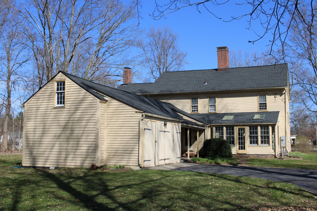
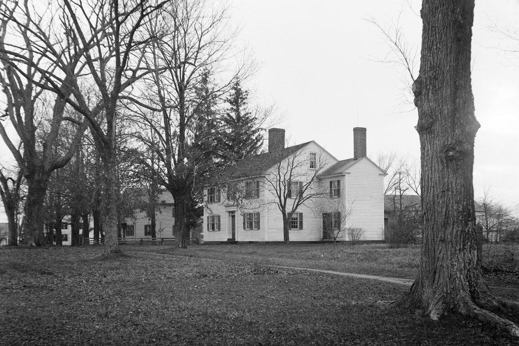
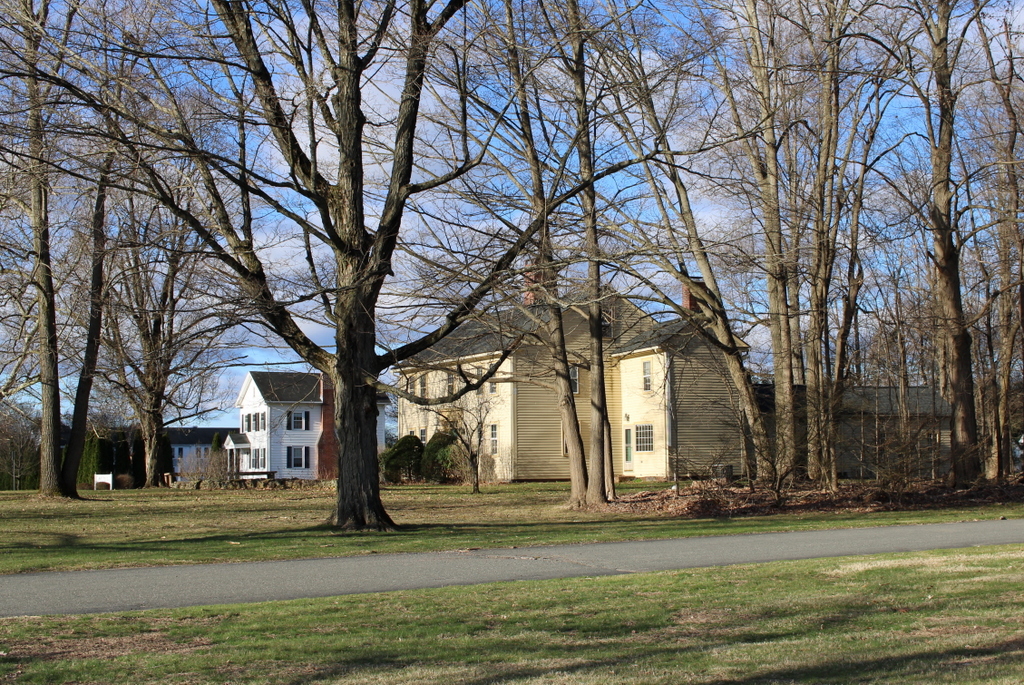
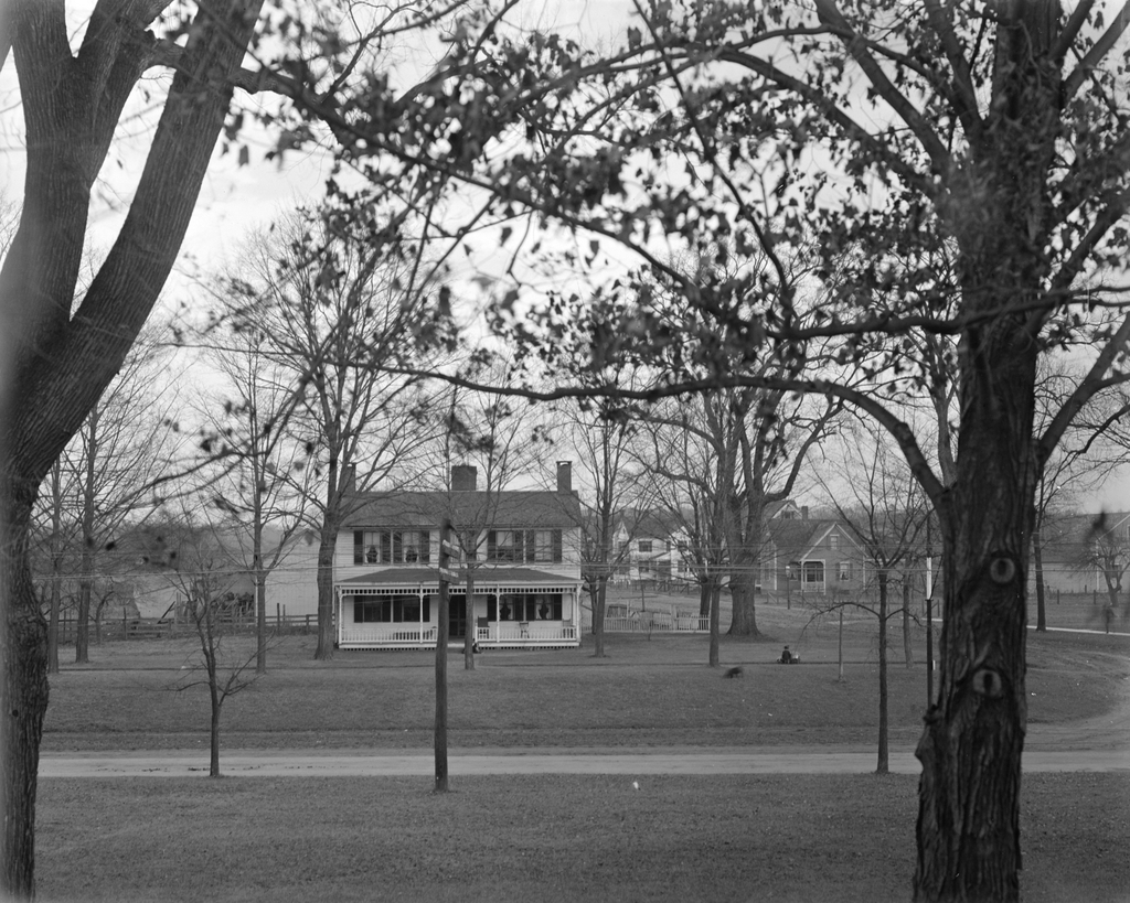
Aside from a cellar hole where the home once stood, the site today has not changed much. The power lines, dirt roads, and small stream from the 1928 photo are still there. What were once small farms behind the home have long since grown in with trees and brush, and the road passing in front of the house no longer leads to a neighboring church.

Laundry Wagon, Longmeadow, Massachusetts

A horse-drawn wagon for Scott’s Laundry, seen on Emerson Road near the corner of Longmeadow Street in Longmeadow, Massachusetts in 1914. Image courtesy of the Longmeadow Historical Society, Paesiello Emerson Collection.
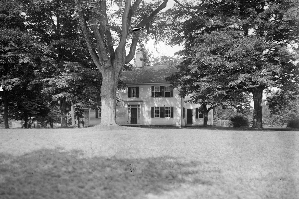
The same scene in 2023:

These two photos were taken from near the same spot as the ones in the previous post, but just a little farther to the east. But, unlike the older image in that post, the main subject of the 1914 photo here is not the house, but rather the people and the wagon in the foreground. The wagon bears the name of L. Dorenbaum, who was an agent for Scott’s Laundry, and the image shows a man, presumably Dorenbaum, standing next to the horse, with a young woman seated in the carriage.

Louis Dorenbaum was born in Russia in 1878. He was Jewish, and he came to America as a child in 1887, likely to escape the antisemitic pogroms that were happening in Russia at the time. He lived in Springfield’s Forest Park neighborhood, which had a large Jewish population at the turn of the 20th century, and by the time the top photo was taken he was about 36 years old and was living at 810 Belmont Avenue in Springfield, along with his wife Agnes and their children Myron, Pauline, and Blanche. It seems unclear if the person in the carriage was a relative, but she seems too young to have been Agnes (who was 31 at the time), but too old to have been either of his daughters (who were 8 and 6).

The photo shows Dorenbaum’s laundry wagon in Longmeadow, on Emerson Road (or Depot Road, as it was known at the time) near the corner of Longmeadow Street. The house in the background is the Josiah Cooley house, which was built around 1760 and is described in more detail in an earlier post. The photographer, Paesiello Emerson, lived in this house with his half siblings Annie and Henry Emerson, and the house was often a subject of his photos. This photo is somewhat unusual for him, though, because he typically did not photograph people, instead preferring buildings, trees, and landscapes. It’s hard to say why Emerson chose to take this photo. It is possible that he knew Dorenbaum, but it also seems possible that he may have wanted to capture this image of a more of transportation that, by 1914, was rapidly vanishing in favor of motor vehicles.

Louis Dorenbaum lived in Springfield until the early 1940s. The 1940 census shows him at a house on Blodgett Street, and his occupation was listed as delivery driver for a laundry, although he was probably no longer using horse-drawn wagons by that point. He later moved to Milton, where his son Myron was working as a dentist. Louis died there in 1947, at the age of  70.

Today, the house that Dorenbaum posed in front of in the top photo is still standing. It has seen some changes over the years, including the removal of the so-called “coffin door” that is partially visible on the south side of the house behind the horse’s head in the top photo. Overall, though, it has remained well preserved in its historic appearance, and it is one of the oldest surviving homes in Longmeadow.