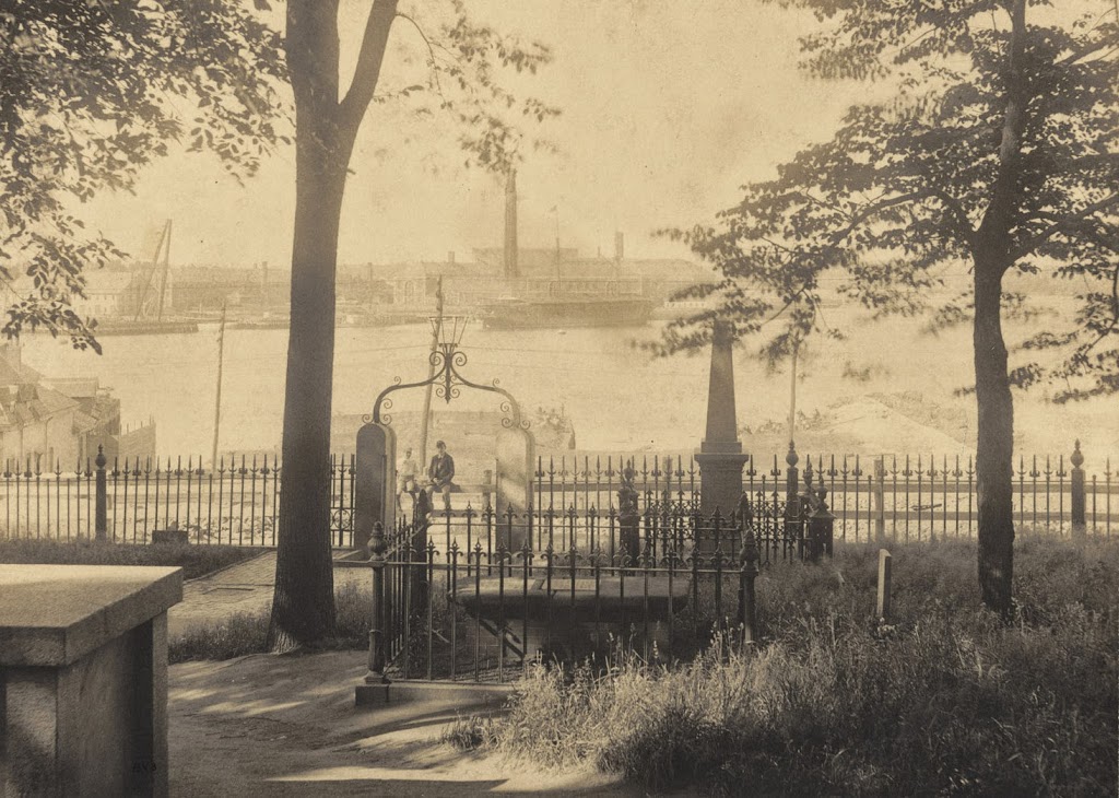
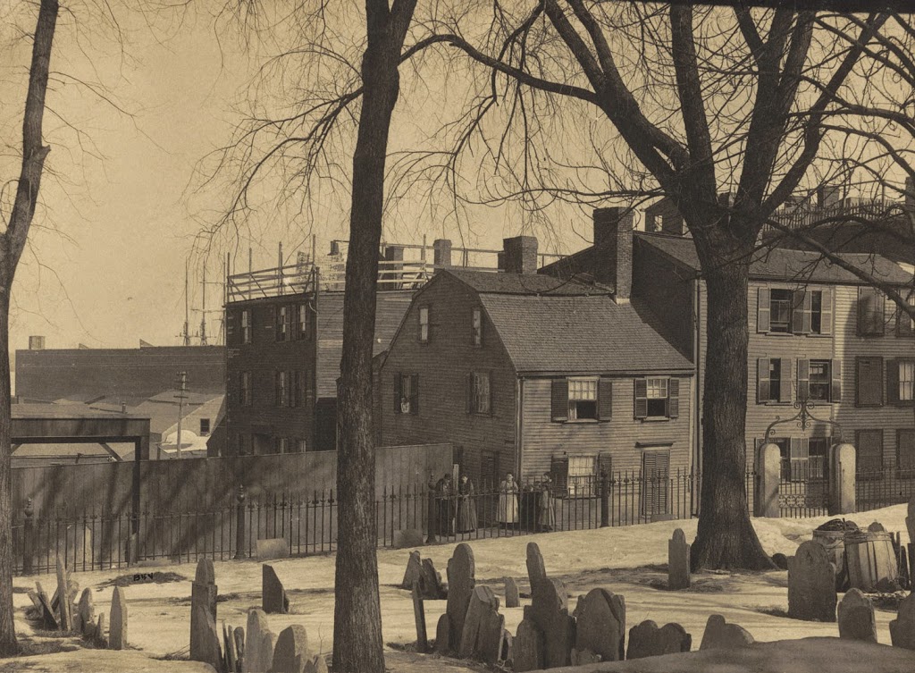
Another view from Copp’s Hill Burying Ground in the North End, around the 1880s or early 1890s. Photo courtesy of Boston Public Library.
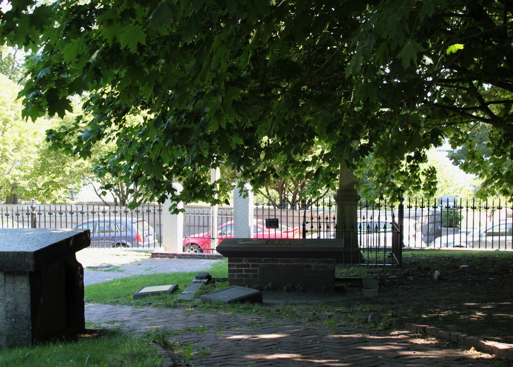
The cemetery in 2014:
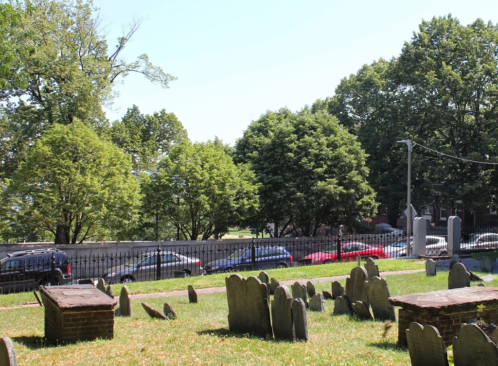
The house in the background is the Johnson-Singleton House, and was built in the mid 1700s. Located on Charter Street, it and the surrounding buildings were demolished in the 1890s to create Copp’s Hill Terrace, a public park between Charter Street and Commercial Street. Boston Harbor is in the background, but it is obscured by buildings in the first photo and trees in the present-day photo; the only hint of its presence is the tip of the masts of a sailing ship in the first photo.