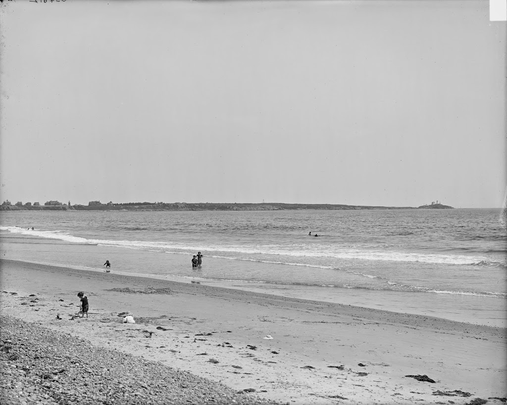
The view of Easthampton from Mount Tom, between 1900 and 1910. Image courtesy of the Library of Congress, Detroit Publishing Company Collection.

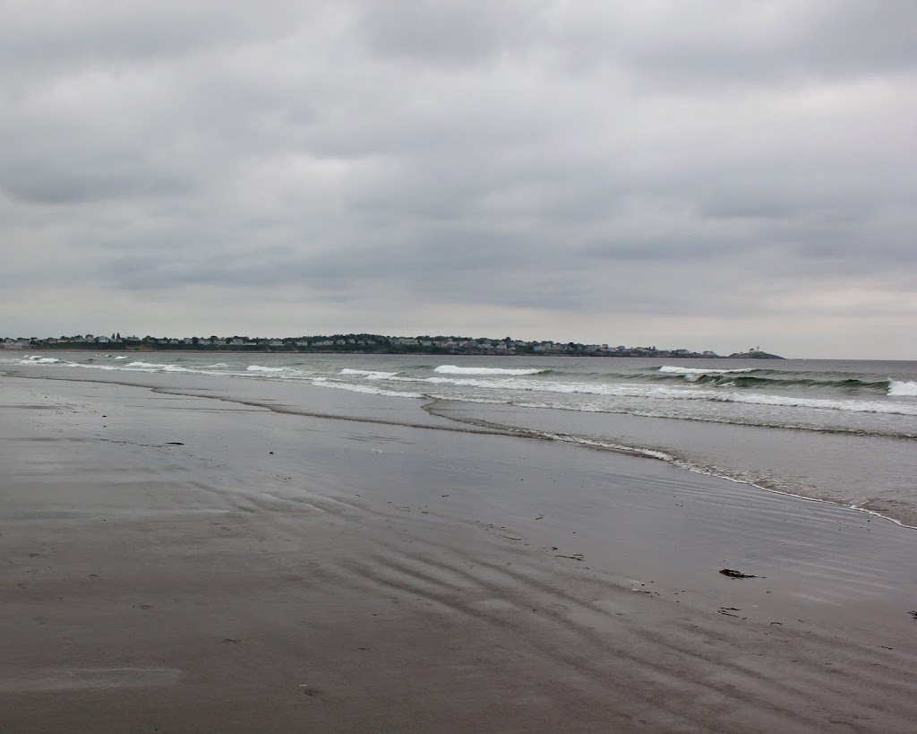
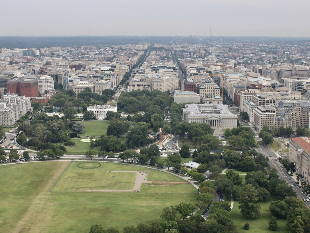
The scene in 2019:
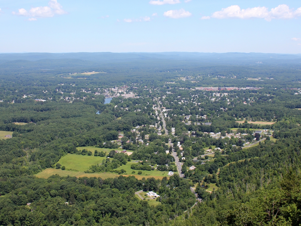
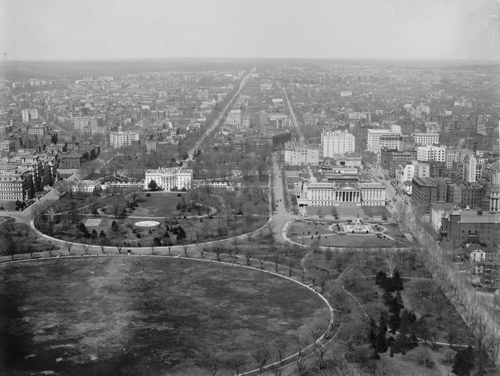
Not much has changed in Easthampton in 100 years, at least nothing that it particularly noticeable from the summit of Mount Tom. President William McKinley would’ve seen a very similar view during his visit in 1899, but another famous visitor to the mountain, Jonathan Edwards, would’ve seen a very different view in the 1730s.