Drum Corps, Southington, Connecticut (1)

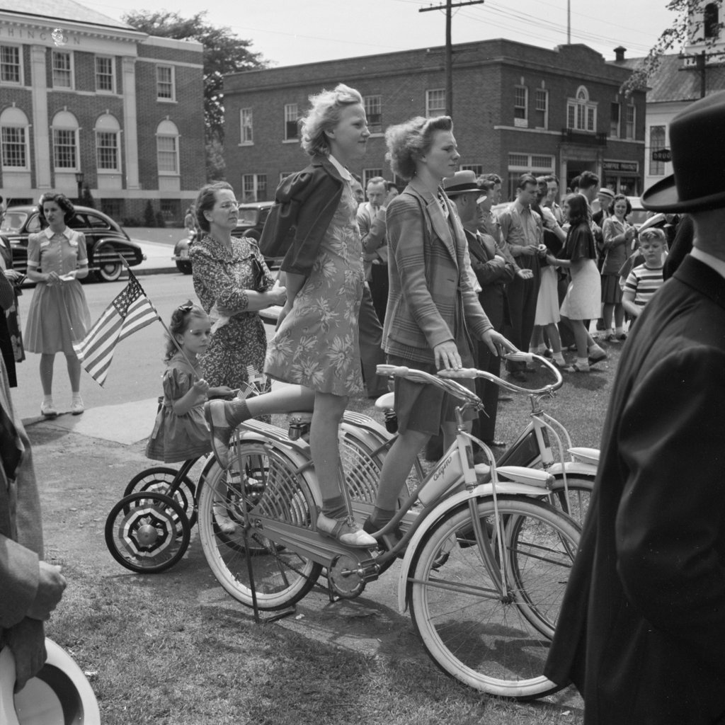
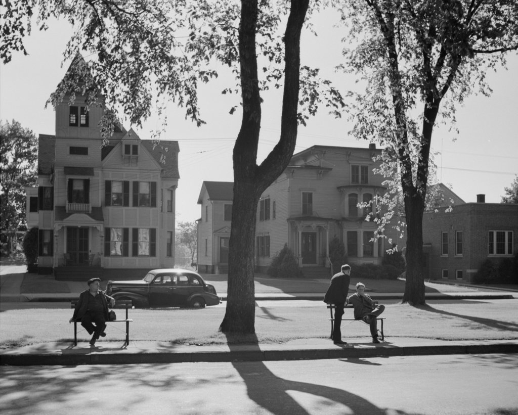
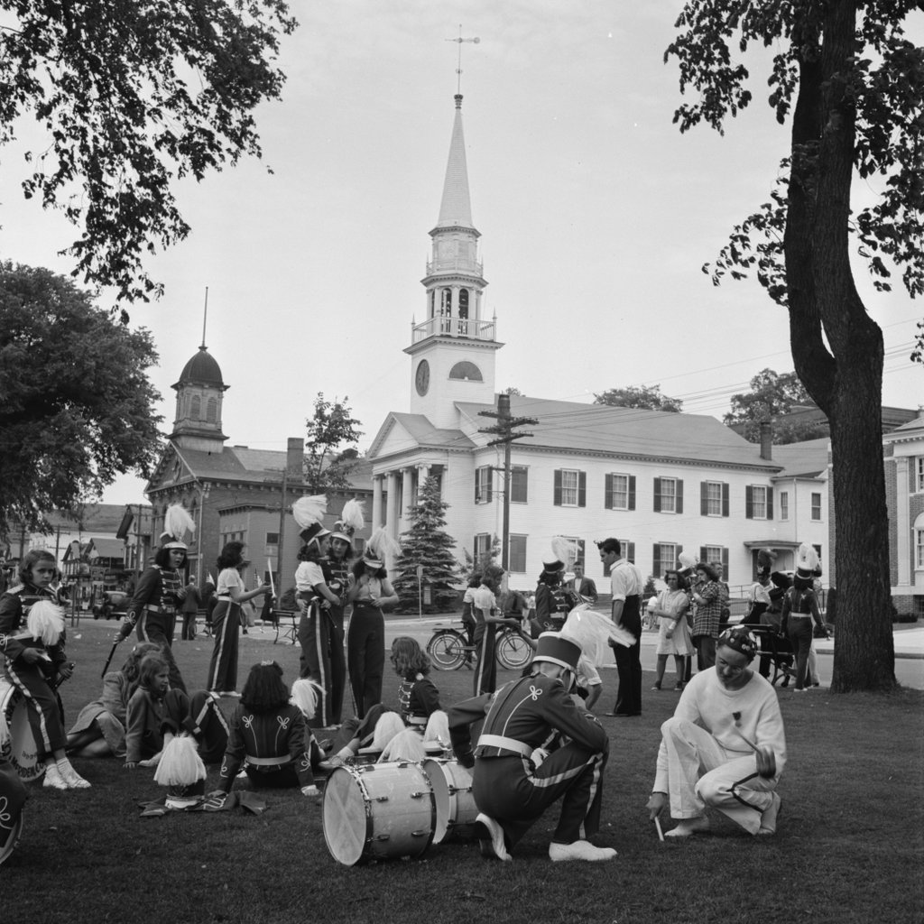
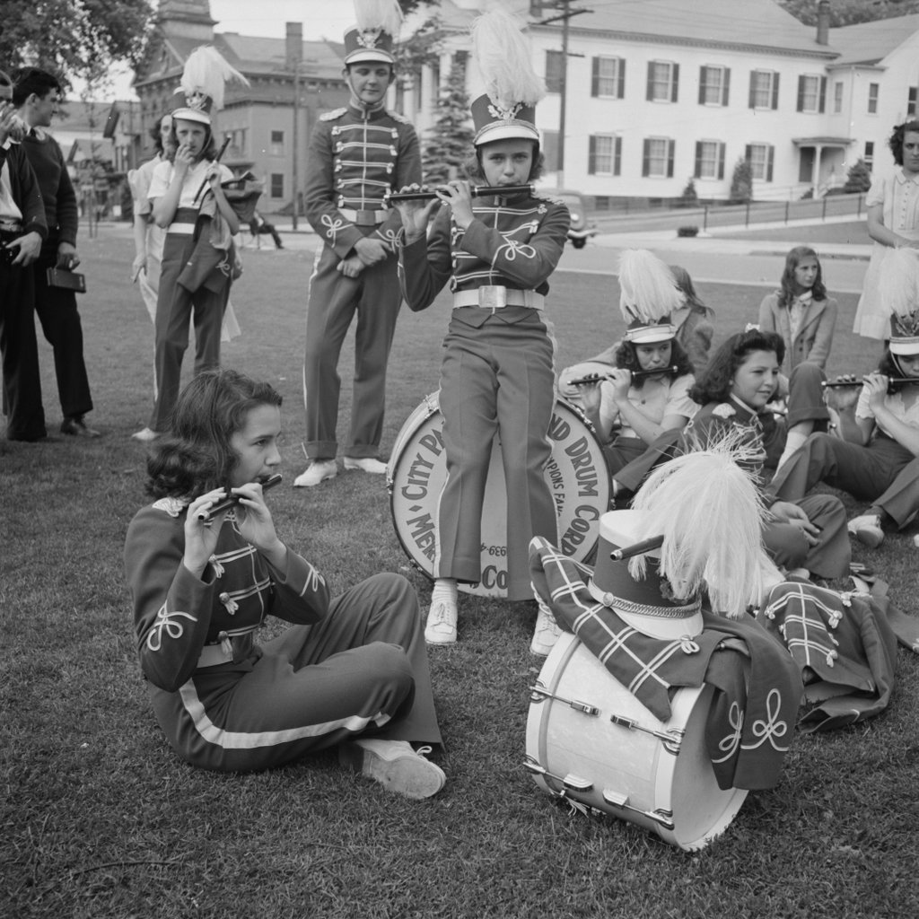
Members of a youth drum corps on the town green in Southington, in May 1942. Image courtesy of the Library of Congress, FSA-OWI Collection.

641_1942-05 loc

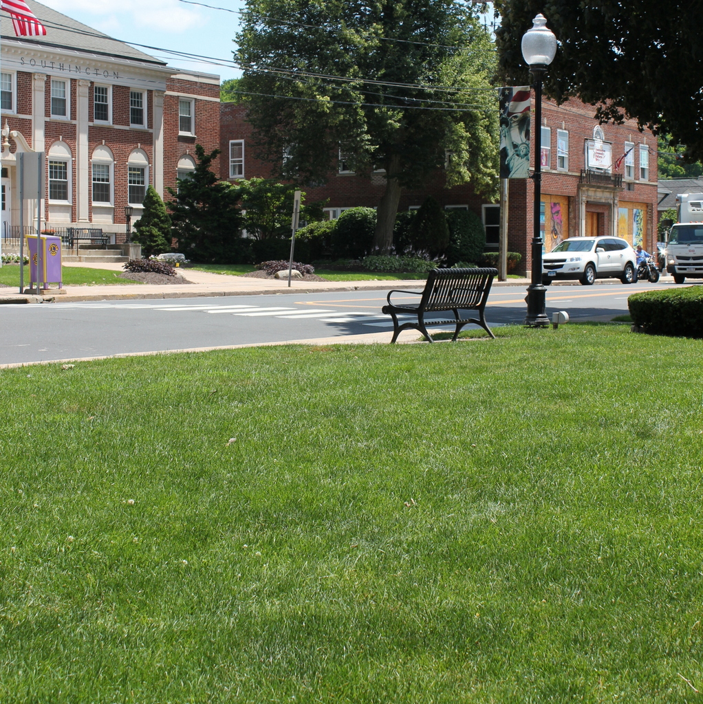
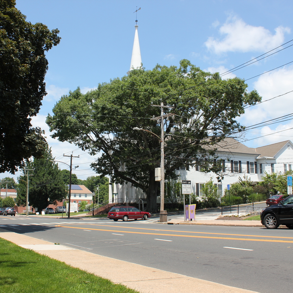
The same spot in 2015:

641_2015
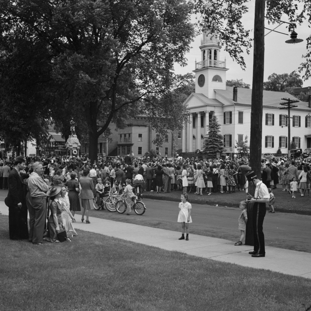
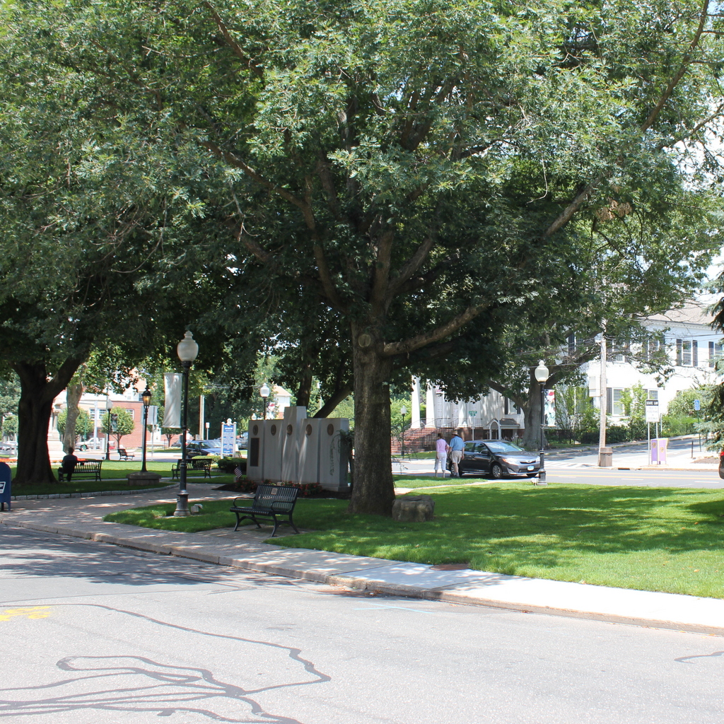
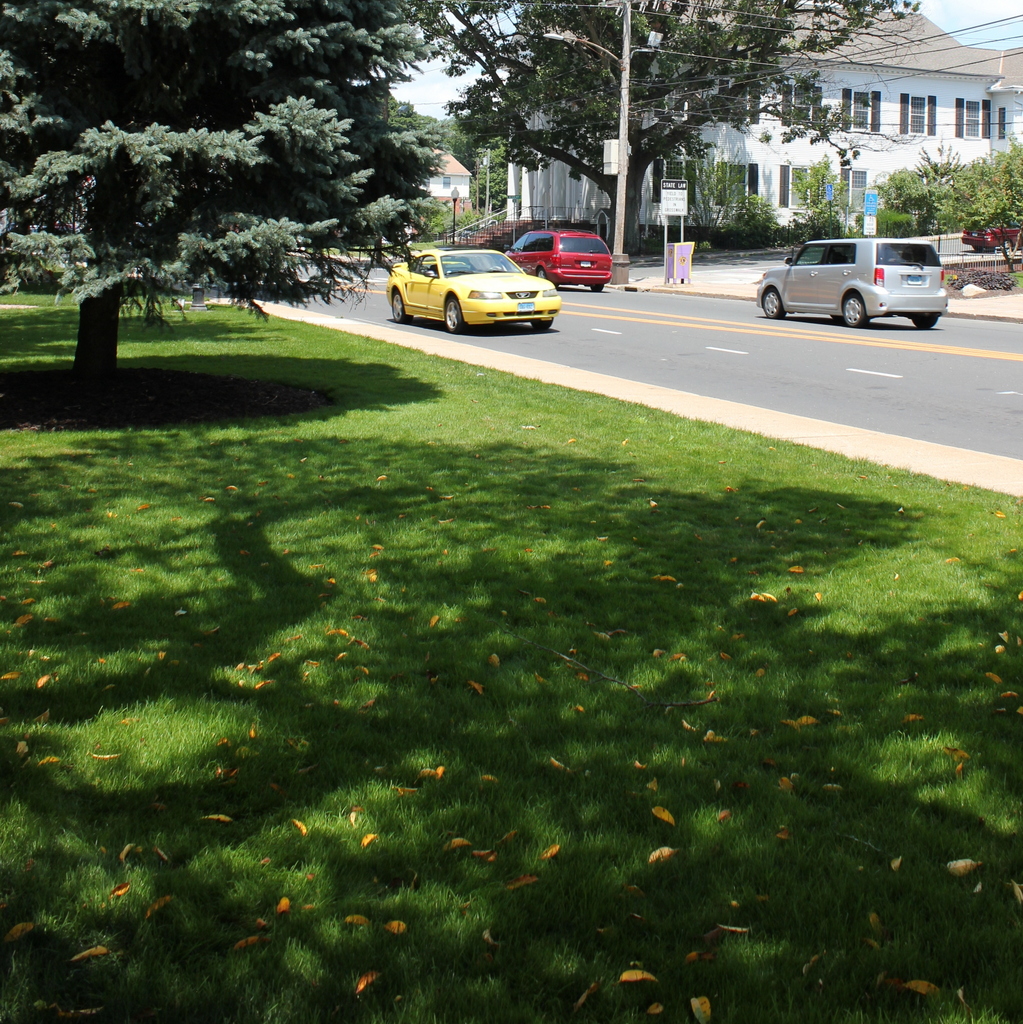
The first photo shows members of a local fife and drum corps on the town green, probably preparing for the town’s Memorial Day parade.  The girls in the photo are not identified, but they were probably students at Southington High School.  Today, the green is still a prominent fixture in the center of Southington, but aside from the First Congregational Church, most of the buildings along Main Street in the first photo are gone.  Some of the girls might still live in Southington; assuming they were in high school in 1942, they would be close to 90 today.

Center Street, Southington, Connecticut

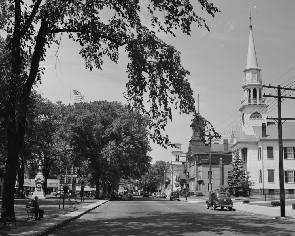
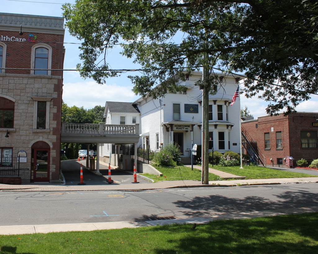
Looking toward Center Street from the town green in Southington in May 1942. Image courtesy of the Library of Congress, FSA-OWI Collection.

640_1942-05 loc

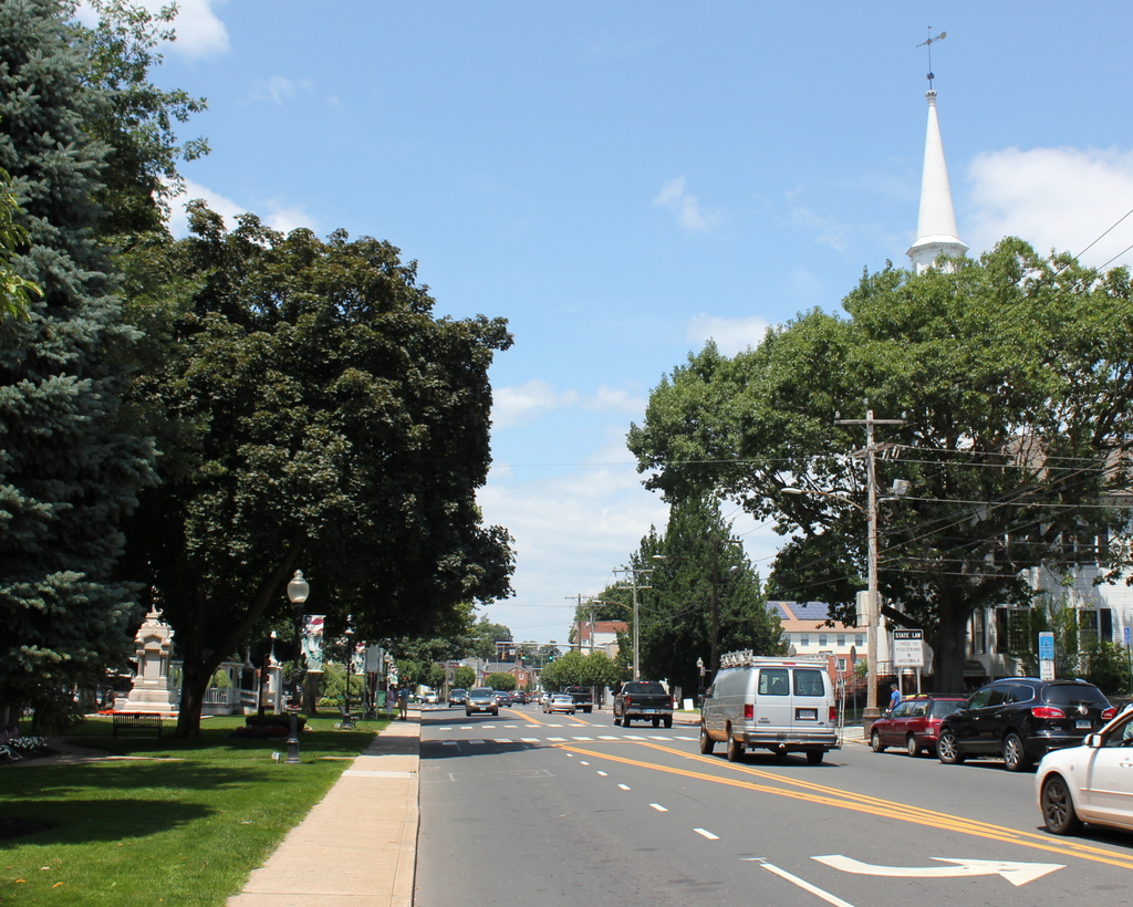
Center Street in 2015:

640_2015
Many of the buildings in the first photo are similar to the ones today, but most of them are gone.  The only one left seems to be the one on the far left, which once housed the First National Stores (Finast) grocery store.  In the 1942 photo, it is advertised as “Self Service” on the sign, differentiating it from other grocery stores where the customer would be served by a clerk behind the counter.  Finast, by contrast, was much like a modern grocery store where customers would walk through the store with a shopping cart, picking what they want and then paying at the checkout counter.  A few 1942 photos of the interior of the store can be seen here on the Library of Congress website.

On the other side of Court Street there was another grocery store, The Fulton Markets.  The building was on the left of the 1942, and it has since been replaced with a modern one-story commercial building.  This store evidently had slightly higher prices than Finast; signs in the windows indicate that their smoked shoulders were 33 cents per pound, as opposed to 31 cents at Finast.  Likewise, “milk fed fowl” was also 33 cents at Fulton and 31 cents at Finast, although the sign in the window at Fulton indicates that they are “fancy fowl,” so perhaps the fact that the meat is “fancy” justifies the extra two cents.  Other meats that were available at Fulton included “fresh ground chopped steak” for 25 cents, lamb patties for 37 cents, and “fresh made pure pork sausages” for 35 cents per pound.  They also had “Kooling Soda” available, 4 for 29 cents.

Although World War II had begun less than six months earlier, Americans were already starting to see it affect their grocery shopping.  Just a few weeks before the first photo was taken, sugar became the first grocery product to be rationed; each individual was limited to half a pound per week.  This seems like it would be a lot of sugar, but apparently it was only half of the average consumption prior to the rationing.  Before the end of the year, coffee would also be rationed, limiting each person to one pound every five weeks.  By the end of 1943, rationing would be extended to many other grocery store items, including meat, cheese, butter, cooking oil, processed foods, and dried fruit.

Other businesses visible in the 1942 photo include Capitol Shoe Repairing, Federated Stores, Levy’s (a children’s clothing store), and W.T. Grant (a discount department store).  Today, not only are all of the buildings gone, but most of the businesses themselves no longer exist.  One possible exception, though, might be Federated Stores; Macy’s was originally founded in 1929 as Federated Department Stores, but I’m not sure if this is the same company as the one seen in the first photo.  As for Finast, the grocery store company once had locations throughout the northeast, but it would later go through several mergers, eventually becoming part of Stop & Shop.

Main Street and Eden Avenue, Southington, Connecticut

Looking northwest from the corner of Main and Eden in Southington, in May 1942. Image courtesy of the Library of Congress, FSA-OWI Collection.

636_1942-05 loc

The scene in 2015:

636_2015
This is the first color “then” photo that I have featured here, and it was taken by the Office of War Information, about six months after the US entered World War II.  The euphemistically-named OWI was essentially the propaganda department during the war, and one of their projects was to create a pamphlet that documented life in an American town.  Southington was chosen as the model, and several hundred photographs were taken in May 1942, including a few color ones.  The idea was to distribute the pamphlet overseas, with the goal of showing the freedom and equality that Americans enjoyed and hopefully gaining sympathy for the American war effort.

The 1942 photo was taken from the parking lot of an Atlantic gas station, with another gas station visible across Eden Avenue on the far right.  Both are still there, although the Atlantic one is now a Shell, and the gas prices are a little higher than they were in 1942, when the average price per gallon was 20 cents.  Across the street in the center of the photo was the home of The Southington News.  The building is still there today, although with an addition on the front.  Because the addition is not as tall as the rest of the building, the top of the original facade can still be seen from this angle.  It was most recently used as a men’s clothing store, but it is now vacant.

Agawam Woolen Mill, Agawam, Mass

Looking west on Elm Street, with the Agawam Woolen Mill to the right, around 1895-1896. Image courtesy of the Agawam Historical Association.

633_1895-1896c aha

Elm Street in 2015:

633_2015
The former Agawam Woolen Mill building still stands on Elm Street, although it is mostly hidden behind the trees from this angle. Agawam was never a major industrial center, but this site along the Three Mile Brook had been used by mills since the early 1800s.  In 1857, the Agawam Company, later renamed the Agawam Woolen Company, established its first factory here, which was rebuilt in 1875 and destroyed in a fire in 1889.  The present-day factory was built around 1890, and was subsequently expanded several times after the first photo was taken.  However, by the mid 1900s, New England’s once thriving textile industry began to struggle amid increased competition, and like many others the Agawam Woolen Company closed in the 1950s.  The building still stands today, not all that different from the 1890s photo except for the early 1900s additions.  It is a contributing property, and the only industrial building, in the Agawam Center Historic District on the National Register of Historic Places.

Main Street, Agawam, Mass

Looking north on Main Street in Agawam, from just south of the corner of School Street, around 1895-1896. Image courtesy of the Agawam Historical Association.

631_1895-1896 aha

Main Street in 2015:

631_2015
These photos were taken from almost the same spot as the ones in this post, just facing up Main Street instead of across it.  The building on the far right in the first photo was Agawam’s town hall and elementary school; it was built in 1874 and remained in use until 1938, when it was demolished and replaced by the Benjamin Phelps Elementary School, which is located on the site today.  In the distance, beyond the school and just to the left, is the Captain Charles Leonard House, which was built in 1805 and still stands today, although it is hidden from view in the 2015 photo by the trees.

Elm Street, Agawam, Mass

Looking down Elm Street from Main Street in Agawam, around 1895-1896. Image courtesy of the Agawam Historical Association.

630_1895-1896c aha

Elm Street in 2015:

630_2015
Today’s view doesn’t have the same pastoral look that it had 120 years ago, but the two buildings from the 1890s photo are still standing today.  On the far right is the Rufus Colton House, which was built in 1806 and is mentioned in more detail in the previous post.  To the left is the First Baptist Church, which still exists but in a heavily modified form.  Baptists had been meeting in Agawam since 1790, and the present church was built around 1830 on Main Street, just south of Elm Street and diagonally across from the Agawam Congregational Church.  Substantial additions from the mid 20th century added wings on both sides and behind the original church, so not much is left from its original appearance except for the front entrance.  Nonetheless, today it is a contributing property in the Agawam Center Historic District on the National Register of Historic Places.