Train Wreck, Holyoke, Massachusetts

A train wreck at Jones Point in Holyoke, Massachusetts, probably on July 24, 1869. Image from Picturesque Hampden (1892).

The scene in 2025:

These two photos show a site on the west bank of the Connecticut River that is known as Jones Point. It is just north of the modern-day Jones Point Park, and historically this was the far northern edge of Holyoke, before the city annexed Mount Tom and the Smith’s Ferry neighborhood in 1909. As shown in these two photos, a railroad track runs along the riverbanks. Opened in 1845 as the Connecticut River Railroad, it linked Springfield to Northampton, and was later extended north to the Vermont border.

The top image is from the book Picturesque Hampden, which was published in 1892. It was accompanied by the caption “A Railroad Wreck at Jones’ Gap,” but it did not otherwise have any identifying information, such as the date or the circumstances of the wreck. However, it may have been the train wreck that occurred on July 24, 1869, when a southbound Connecticut River Railroad passenger train derailed, injuring three crew members. Newspaper accounts did not specifically identify Jones Point as the site of the accident, but it was described as having occurred about two miles north of Holyoke, which would place it in this section of the track.

Initial reports indicated that the train had derailed after striking a stone from a nearby quarry that had fallen onto the tracks. However, later accounts blamed the quarry’s own railroad, which crossed the main tracks here. The quarry’s tracks were set slightly higher than the mainline ones, supposedly causing the locomotive’s wheels to strike it and cause the derailment. Regardless of the cause, though, the accident could have been much worse. As it turned out, no lives were lost in the accident, and none of the passengers were injured.

The July 26, 1869 edition of the Springfield Republican provides a description of the wreck:

Saturday was an eventful day in railroad travel in this vicinity, two serious accidents occurring on the northern routes, one near home and another in Vermont. The former occurred in the morning to Conductor Fleming’s train from the north over the Connecticut River railroad, between Smith’s Ferry and Holyoke, at the cross track from the stone quarry leading down to the river. While running at full speed the engine was thrown from the track by a stone between the cross and main tracks, and ploughed along some three rods upon its side. The engineer, Henry H. Snow of Brattleboro had his right leg broken in two places, and his knee split open. Amos Mosher of Mitteneague, the fireman, was bruised in the back, and Frank Kingsley of South Vernon, forward brakeman, had his left ankle sprained. None of the passengers were injured, although the greatest alarm and consternation prevailed among them. A special train, with Drs Breck and Rice, with mattresses, etc., was immediately dispatched to the scene of the accident, and brought the injured persons to this city. Snow’s leg was set by Dr Breck, who accompanied him to Brattleboro, in the afternoon. The doctors do not regard the injuries of the fireman and brakeman as serious. Under all circumstances it seems almost miraculous that a large number of lives were not lost.

Richard Brown, Conductor Fleming’s trusty head brakeman, who was at his usual post on the rear car of the train, was unharmed. His first thoughts were for his brother brakeman, Kingsley. This man had showed remarkable coolness. The car platform was broken and fell from under his feet. He supported himself by hanging to the knob of the car door. Notwithstanding this precaution he was caught between the cars and severely jammed. In this condition Brown found him. “Dick,” said he, “if any one else is hurt worse than I am, help him first!” At this Brown went to the assistance of Engineer Snow, whom he found lying several rods distant. Harley, the well known newsboy on the train, experiences a severe tumbling. He turned a summersault in the aisle of one of the cars, but picked himself up with only a bruise on his head. The conductor was busy caring for his hurt assistants. The force on that train seem to each other like brothers, and they would almost die for each other.

The wreck above Holyoke was cleared from the track so as to let the afternoon train going north pass at 4 o’clock; but nothing further was done than simply to make room for trains to run by. It was a sad sight, the proud “iron horse.” “North Star,” slain and prostrated on its back; the smoke-stack lying at a distance, and its neck driven into the sand. On Sunday it was righted up and, just able to crawl, was led down and stabled in the repair shops of the road in this city, where it was visited during the early evening by many people. The tender and cars were also brought down. The platforms of the cars are badly smashed and the tender is a total wreck.

Based on this account, it appears that the top photo may have been taken on the day after the wreck, since the one in the photo is sitting upright. However, the locomotive appears to have its smokestack attached, which does not match the description in the newspaper, unless the smokestack was reattached when the locomotive was righted. So, while it seems likely that the top photo was taken of this particular wreck, it is hard to say this with certainty.

Several decades later, this site at Jones Point would be the location of another railroad accident, although this second one had deadlier consequences. It occurred on January 27, 1888, when a group of railroad workers were shoveling snow drifts off the track. They had cleared one track, and were working on the other track when a train passed through here on the cleared track without any warning. Heavy winds and drifting snow made visibility poor, and neither the engineer nor the workers could see each other until it was too late. Three of the workers were killed instantly, and a fourth was badly injured and died soon afterwards. Newspaper accounts do not give the precise location of this accident, but they indicate that it happened “at Jones’s cut, some two miles above Holyoke.”

Today, more than 150 years after the top photo was taken, not much has changed in this scene aside from the tree growth. The railroad is still here, and it carries freight trains along with Amtrak passenger trains, including the Vermonter to St. Albans and the Valley Flyer to Greenfield. The land here is now owned by the city of Holyoke, and it is part of Jones Point Park.

State Street, Newburyport, Massachusetts

The view looking north on State Street from the corner of Essex Street in Newburyport, around 1865-1885. Image courtesy of the New York Public Library.

The scene in 2024:

Located at the mouth of the Merrimack River in the northeastern corner of Massachusetts, Newburyport was a major seaport during the 18th and early 19th centuries. During this time, it prospered from the shipping, fishing, and shipbuilding industries. These two photos show State Street facing toward Market Square in the distance. This was the commercial hub of Newburyport, and the streets around here are lined with brick, three-story commercial buildings that primarily date to the early 19th century. This area suffered a devastating fire in 1811, and many of the buildings that are shown in these photos were built in the immediate aftermath of the fire.

During the second half of the 19th century, Newburyport’s economic prosperity began to decline. Shipping became increasingly concentrated in larger northeastern ports like Boston and New York, although Newburyport continued to be an important shipbuilding center for many years. However, as ships grew larger, and as steamships began replacing sailing vessels, Newburyport’s small harbor became inadequate. For part of the 19th century, the textile industry provided a boost to the local economy, but the city could hardly compete with the much larger water-powered industrial cities farther upstream, such as Lawrence and Lowell.

By the time the top photo was taken, Newburyport’s population stood at about 13,000 people. This was a considerable increase from earlier in the 19th century, but the city would see only very modest growth in future decades. This stagnation was a result of the economic decline of the city, but it also had the unintended effect of preserving much of Newburyport in its early 19th century appearance, as shown in the comparison between these two photos, which has nearly all of the same buildings in both photos, despite the passage of around 140-150 years.

However, Newburyport’s well-preserved downtown area was nearly lost in the 1960s, when it was the subject of a large-scale urban renewal project that would have leveled the early 19th century commercial center in favor of strip malls and parking lots. Thankfully, preservation advocates were successful in having this project scrapped, and instead the State Street area was restored in the 1970s. As a result, Newburyport’s downtown area is now a strong asset to the city, and it survives as a remarkably well-preserved example of an early 19th century New England seaport.

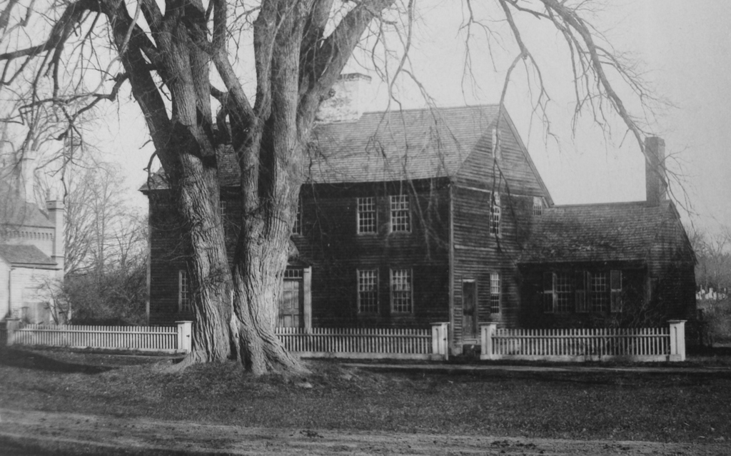
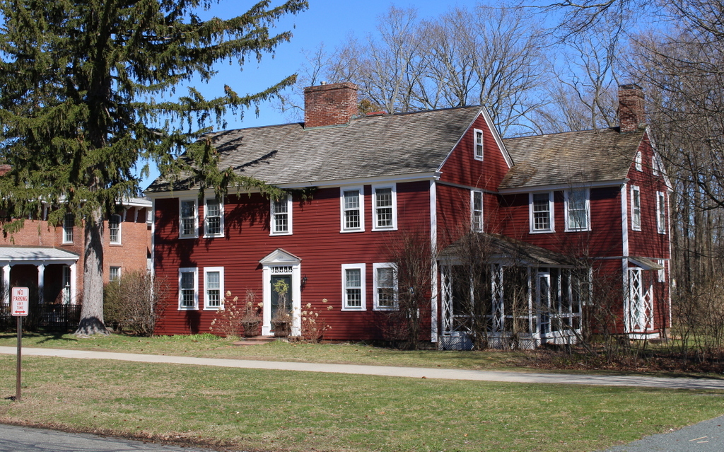
Albert Ward House, Pelham, Massachusetts

The house at the corner of Packardville Road and Juckett Road in Pelham, on November 7, 1928. Image courtesy of the Metropolitan District Water Supply Commission, Quabbin Reservoir, Photographs of Real Estate Takings.

The scene in 2025:

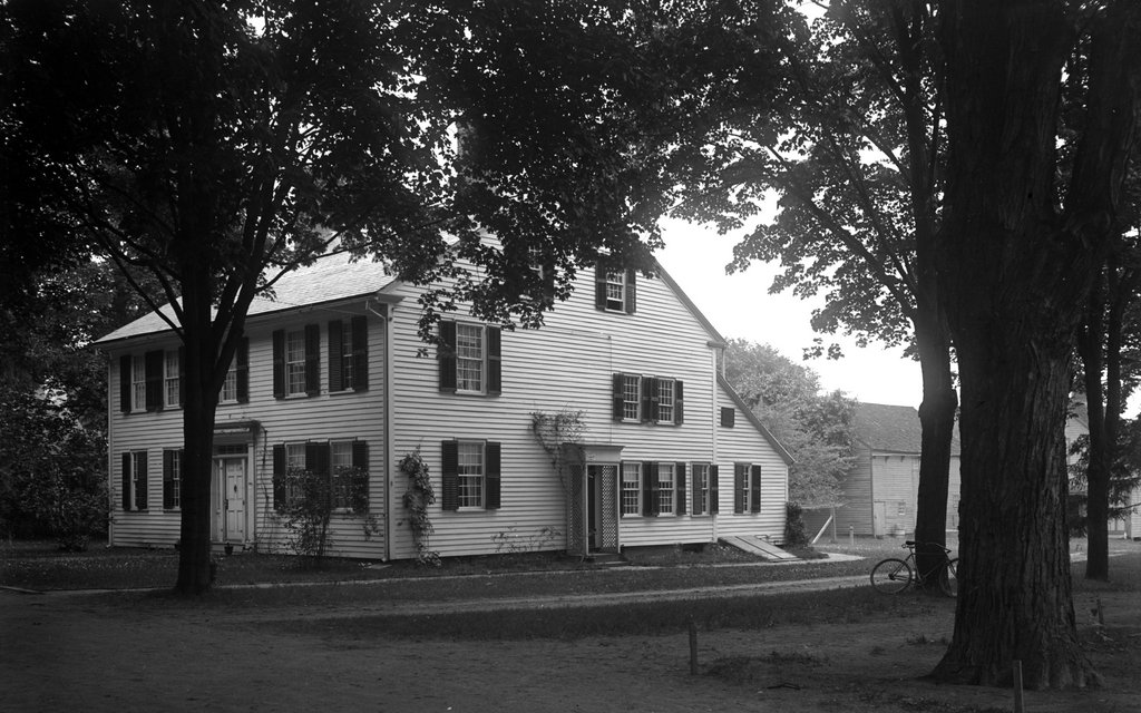
This house was located at the southeast corner of the intersection of Packardville Road and Juckett Road, in the now defunct Pelham village of Packardville. It was owned briefly by Albert P. Ward, who acquired it as a gift from Henry Stevens in February of 1929. It was a small parcel that was broken off of a much larger property that Stevens owned. Ward’s newly created lot included only this house and an 8ft buffer around the home, for a lot size that totaled only 0.05 acres.

Before this home was built, a wagon shop for wagonmakers Packard & Thurston stood here in the early 1840s until they moved their operations to Belchertown in the late 1840s. Around 1860, this 1.5 story home was built by James Hanks, who owned and operated a store out of it from 1860 until 1873. Hanks would then go on to sell the home and the original, larger lot that it stood on to Henry Stevens in 1896.

Although the older photo labels this as the Albert P Ward House, he almost certainly never lived in it. Ward’s actual residence in 1929 was likely one of his properties in nearby Belchertown. The first photo was taken on November 7, 1928, three months before Ward was even gifted the property. Three months after Ward was given the home, the Massachusetts Metropolitan District Water Supply Commission would go on to purchase it from him in May of 1929 when building the Quabbin Reservoir. It is unclear why Ward was given this derelict looking home right before it would be sold again, or if he had a personal connection to it that predated his acquisition of it. The Water Supply Commission would demolish the home sometime in the early 1930s, because of its location inside the Quabbin Reservoir watershed.

Aside from a cellar hole where the home once stood, the site today has not changed much. The power lines, dirt roads, and small stream from the 1928 photo are still there. What were once small farms behind the home have long since grown in with trees and brush, and the road passing in front of the house no longer leads to a neighboring church.

Laundry Wagon, Longmeadow, Massachusetts

A horse-drawn wagon for Scott’s Laundry, seen on Emerson Road near the corner of Longmeadow Street in Longmeadow, Massachusetts in 1914. Image courtesy of the Longmeadow Historical Society, Paesiello Emerson Collection.

The same scene in 2023:

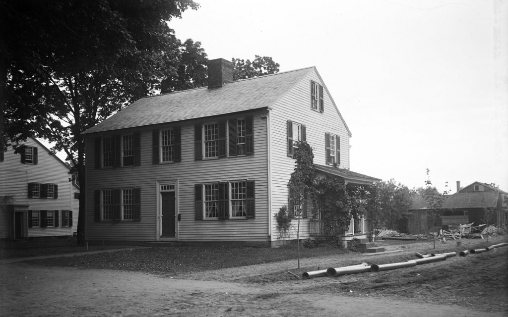
These two photos were taken from near the same spot as the ones in the previous post, but just a little farther to the east. But, unlike the older image in that post, the main subject of the 1914 photo here is not the house, but rather the people and the wagon in the foreground. The wagon bears the name of L. Dorenbaum, who was an agent for Scott’s Laundry, and the image shows a man, presumably Dorenbaum, standing next to the horse, with a young woman seated in the carriage.

Louis Dorenbaum was born in Russia in 1878. He was Jewish, and he came to America as a child in 1887, likely to escape the antisemitic pogroms that were happening in Russia at the time. He lived in Springfield’s Forest Park neighborhood, which had a large Jewish population at the turn of the 20th century, and by the time the top photo was taken he was about 36 years old and was living at 810 Belmont Avenue in Springfield, along with his wife Agnes and their children Myron, Pauline, and Blanche. It seems unclear if the person in the carriage was a relative, but she seems too young to have been Agnes (who was 31 at the time), but too old to have been either of his daughters (who were 8 and 6).

The photo shows Dorenbaum’s laundry wagon in Longmeadow, on Emerson Road (or Depot Road, as it was known at the time) near the corner of Longmeadow Street. The house in the background is the Josiah Cooley house, which was built around 1760 and is described in more detail in an earlier post. The photographer, Paesiello Emerson, lived in this house with his half siblings Annie and Henry Emerson, and the house was often a subject of his photos. This photo is somewhat unusual for him, though, because he typically did not photograph people, instead preferring buildings, trees, and landscapes. It’s hard to say why Emerson chose to take this photo. It is possible that he knew Dorenbaum, but it also seems possible that he may have wanted to capture this image of a more of transportation that, by 1914, was rapidly vanishing in favor of motor vehicles.

Louis Dorenbaum lived in Springfield until the early 1940s. The 1940 census shows him at a house on Blodgett Street, and his occupation was listed as delivery driver for a laundry, although he was probably no longer using horse-drawn wagons by that point. He later moved to Milton, where his son Myron was working as a dentist. Louis died there in 1947, at the age of  70.

Today, the house that Dorenbaum posed in front of in the top photo is still standing. It has seen some changes over the years, including the removal of the so-called “coffin door” that is partially visible on the south side of the house behind the horse’s head in the top photo. Overall, though, it has remained well preserved in its historic appearance, and it is one of the oldest surviving homes in Longmeadow.

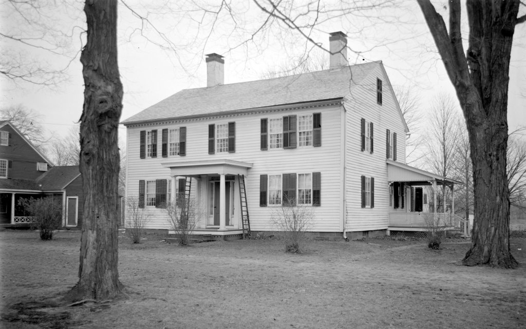
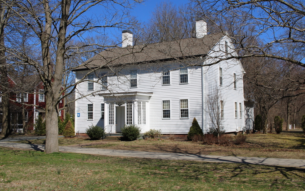
Josiah Cooley House, Longmeadow, Massachusetts (5)

The house at the corner of Longmeadow and Emerson Streets in Longmeadow, Massachusetts, on September 12, 1917. Image courtesy of the Longmeadow Historical Society, Paesiello Emerson Collection.

The house in 2023:

This house has been featured in previous posts, and there are many early 20th century images of it thanks to Paesiello Emerson, an amateur photographer who lived here during that period. As explained in more detail in an earlier post, the house is believed to have been built around 1760 as the home of Josiah and Experience Cooley. An earlier house, belonging to Josiah’s father Eliakim, had stood here on this same spot earlier in the 18th century, and it is possible that the current house may have been built in part on the foundation of Eliakim’s house.

These two photos show the view of the back of the house from the southwest, on what is now Emerson Road. From this angle, the house would have looked very different when it was initially constructed. It was built as a saltbox, with a second floor on the front part of the house and a long sloping roof here on the back of the house. However, when Josiah and Experience’s granddaughter Lucy Colton inherited the house in the late 1820s, she modernized and expanded the house.

Some of this work included raising the roof to create a full second story, along with additions on the north and west sides of the house. The two-story northern addition, which is visible in the distance on the far side of the house, included living space for Lucy’s son Luther Woolworth Colton and his newlywed wife Abigail. The western addition, shown on the left side of these photos, was one story in height, and it appears to have been used for storage and workshop space, rather than as living space

Aside from these structural changes, Lucy also made some interior and exterior design changes, in keeping with early 19th century trends. On the exterior, this included removing the original 12-over-12 windows from the front of the house and replacing them with new 6-over-6 windows. However, rather than discarding the old windows, they were installed here on the back part of the house and in the back addition, likely because they would not be as visible from the street.

The house would remain in the Cooley-Colton family for several more decades, but in 1869 Lucy’s son Josiah Cooley Colton sold the house and 20 acres of land to Bradford W. Palmer for $4,500. The Palmer family, however, would only stay here for a few years before selling it to William G. Emerson, a carpenter who was originally from eastern Massachusetts. His family included his wife Lovina and their children William, Annie, and Henry. The elder William died in 1887, Lovina died in 1897, and at some point the younger William moved into a house of his own in Longmeadow, but Annie and Henry would live here for their entire lives.

Neither Annie nor Henry ever married, but in 1907 they were joined here by their older half brother Paesiello Emerson. He was a widower in his mid-70s, and he had worked for much of his life as a boot maker. However, when he was in his 70s he took up photography as a hobby. He tended to prefer photographing landscapes and old buildings, and he captured several thousand images, including many here in Longmeadow. He continued his photography into his 90s, creating a valuable photographic archive of the town’s early 20th century development.

Paesiello Emerson died here in the house in 1927 at the age of 95. At some point in the 1920s, William Emerson also returned to live here, and he died in the house in 1930 at the age of 81. The two younger siblings, Annie and Henry, remained here until their deaths in 1941 and 1943, at the age of 81 and 77 respectively. Henry was a farmer who grew raspberries and asparagus here, along with raising poultry. Annie was a teacher, but she was also the town historian. She conducted extensive research on the historic homes in Longmeadow, including her own, and much of the information about this house is based on her notes.

The house was sold by the Emerson heirs after Henry’s death in 1943, and subsequent owners did some restoration work as well as modernization of the house. Here on the back part of the house, this included adding an enclosed porch to the back of the house and adding an open porch to the back addition. The garage was also extended outward by a few feet to accommodate cars, and a second garage door was added. Other changes, which are hard to notice from this particular angle, included removing the “coffin door” from the south side of the house, and adding another second-story window to the back of the house. The latter was evidently done in the late 1940s, when two new bathrooms were installed in the back part of the second floor.

Overall, though, the appearance of the house is not drastically different from its appearance in 1917 when Paesiello Emerson took the top photo. Aside from the porches and the small addition to the garage, the overall form of the house has not changed. It retains its chimneys, including the large central chimney, and most of the windows appear to either be original or, in the case of the 6-over-6 windows, date to the late 1820s renovation. Many of the 12-over-12 windows can still be found in the back part of the house, and are likely the same ones that had once been installed on the front part of the house in the mid-1700s.

Wells-Thorn House, Deerfield, Massachusetts

The Wells-Thorn House at the corner of Old Main Street and Memorial Street in Deerfield, in November 1959. Image courtesy of the Library of Congress, Historic American Buildings Survey Collection.

The house in 2023:

This house was built around 1747 as the home of Ebenezer Wells (1691-1758) and his wife Abigail Barnard (1691-1772). They had no children, but their household here included at least two enslaved people: Lucy Terry (c.1733-1821) and Caesar (baptized 1734). Lucy is best remembered today for being the author of the poem “Bars Fight,” earliest known work of African American literature. The poem memorializes those who were killed during a 1746 Native American raid on a group of families that were working in the meadows, or “bars,” near the village. It seems unclear when the poem was first put down on paper, but it remained an oral tradition for more than a century before it was published by Josiah Gilbert Holland in his 1855 book History of Western Massachusetts. According to Holland, the poem reads:

August ’twas the twenty-fifth,
Seventeen hundred forty-six;
The Indians did in ambush lay,
Some very valient men to slay,
The names of whom I’ll not leave out.
Samuel Allen like a hero fout,
And though he was so brave and bold,
His face no more shall we behold.
Eleazer Hawks was killed outright,
Before he had time to fight,—
Before he did the Indians see,
Was shot and killed immediately.
Oliver Amsden he was slain,
Which caused his friends much grief and pain.
Simeon Amsden they found dead,
Not many rods distant from his head.
Adonijah Gillett we do hear
Did lose his life which was so dear.
John Sadler fled across the water,
And thus escaped the dreadful slaughter.
Eunice Allen see the Indians coming,
And hopes to save herself by running,
And had not her petticoats stopped her,
The awful creatures had not catched her,
Nor tommy hawked her on her head,
And left her on the ground for dead.
Young Samuel Allen, Oh lack-a-day!
Was taken and carried to Canada.

Because the raid happened only a year or so before this house was built, it is possible that Lucy was living in the house when she composed the poem. But either way, she appears to have lived here until at least 1756, when she married Abijah Prince, a free Black man who was from Curaçao. An article written by the Pocumtuck Valley Memorial Association suggests that the wedding may have occurred here in this house, as was customary for the time. Lucy appears to have gained her freedom around this time, and she and Abijah lived on the eastern part of the Wells property early in their marriage. By 1764, they had moved to Guilford, Vermont, where they owned land. Abijah died in 1794, and Lucy eventually moved to Sunderland, Vermont, where she died in 1821.

In the meantime, Ebenezer and Abigail Wells lived here until Ebenezer’s death in 1758. He left the house to his nephew Ebenezer Wells (1730-1783), and Abigail subsequently moved to Northampton. The younger Ebenezer lived here for the rest of his life, as did his wife Mercy Bardwell (1737-1801). Their son David then inherited the property, but sold it to lawyer Hezekiah W. Strong (1768-1848).

Strong repainted the house to a bright robins egg blue color, evidently in the hopes of drawing attention to his law practice. However, he only remained in town for a few years, and he sold it in 1804 to John Dwight. The house was later owned by the Ware family for most of the 19th century, and then in 1905 it was sold to Edwin (1874-1920) and Luanna (1874-1965) Thorn. Edwin was a physician, but both he and Luanna were involved in the Deerfield Arts & Crafts movement. They produced colonial-inspired household goods, including furniture and textiles, and they sold them out of a shop here in their home.

Edwin Thorn died in 1920, but Luanna outlived him by many decades. She was still living in the house when the top photo was taken in 1959, as part of the documentation of the house by the Historic American Buildings Survey. She eventually sold the property to Historic Deerfield in 1962, and the house has since been restored and opened to the public as a museum. On the interior, each room is decorated to match a different time period, beginning in the early 18th century and going through the mid 19th century. On the exterior, the house has been painted the same shade of blue that Hezekiah Strong had used in the early 19th century, as shown in the 2023 photo.