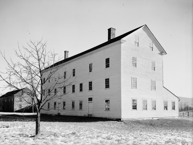
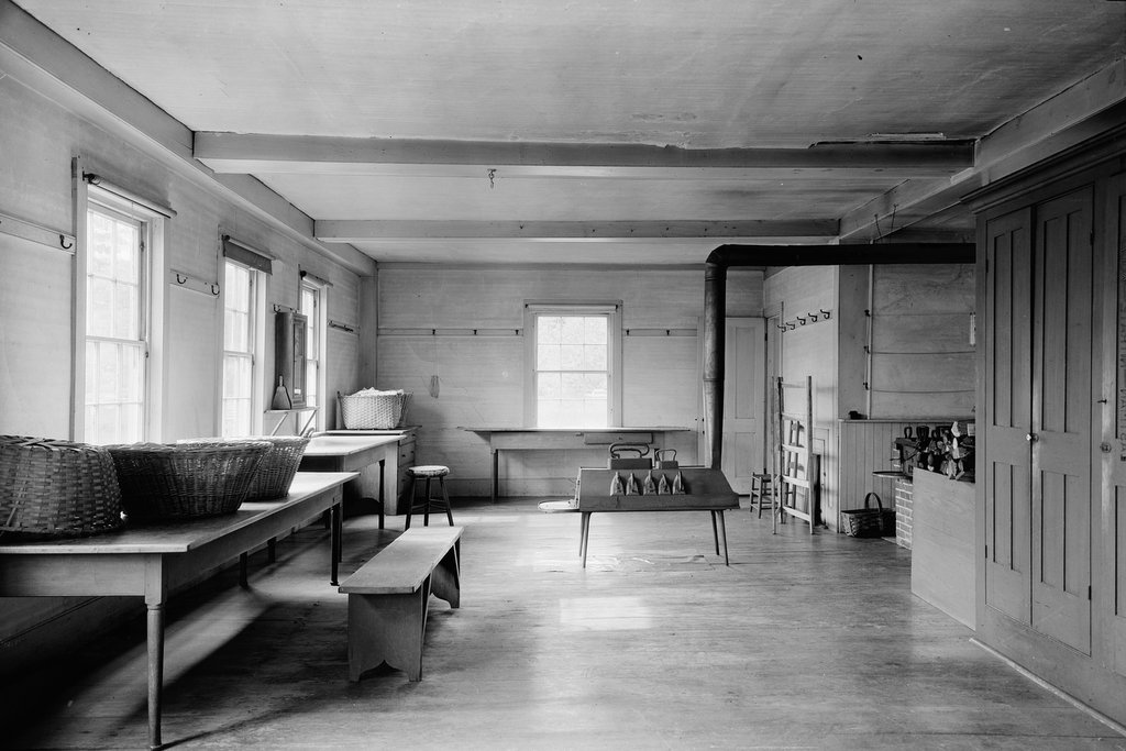
The ironing room at the laundry and machine shop building at Hancock Shaker Village in 1931. Image courtesy of the Library of Congress, Historic American Buildings Survey Collection.
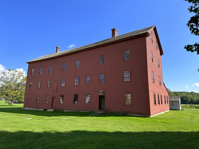
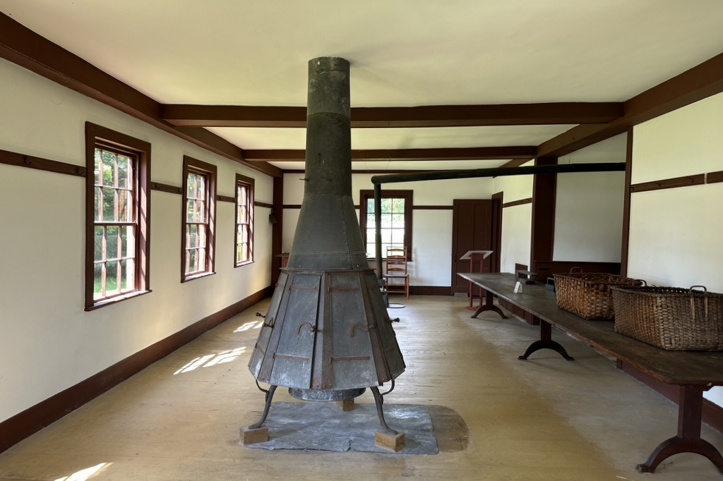
The room in 2023:
Life in a Shaker community was not for everyone, as it involved giving up personal property and living a celibate lifestyle in a communal setting where hard work was seen as a core value. However, those who joined the community did enjoy some practical benefits, particularly when it came to economies of scale. Because of their size, the Shakers could utilize larger, more efficient facilities than what a typical family of the time period had.
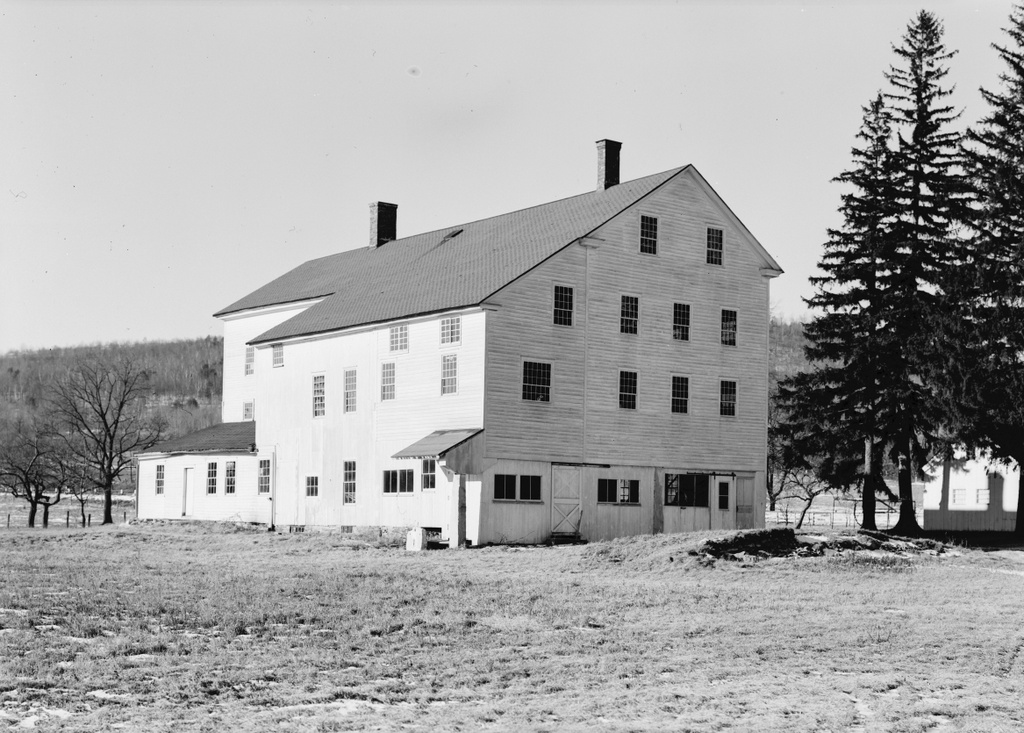
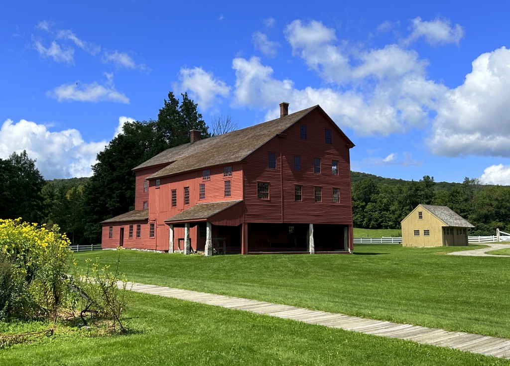
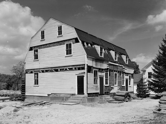
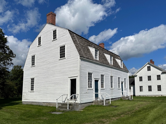
Here at the Shaker village in Hancock, Massachusetts, this included a large laundry facility, which occupied three stories on the western side of the laundry/machine shop building. This is probably the oldest surviving building at the village, with the original portion of the building—here on the western side—likely dating back to around the time that the community was established in 1790. It was probably originally a dwelling, but it was subsequently used as a laundry and as a machine shop. These two facilities shared the same building and water power source, but they were otherwise separate. In keeping with Shaker beliefs, men and women had separate workspaces, with the men working in the machine shop and the women here in the laundry.
On the ground floor, the laundry included two main rooms. One room was for washing, where the equipment was powered by a water turbine. From there, the laundry went upstairs to dry on drying racks, and then came back downstairs to this room, where it was ironed. Here, the clothing and other items were ironed on the large tables, using irons that were heated on the stoves in the room.
The Shaker community was still active when the first photo was taken in 1931, although its numbers were much smaller compared to a century earlier. They eventually closed in 1960, but the site subsequently became Hancock Shaker Village, an open-air museum. It features a number of restored Shaker buildings that are open to the public, including the laundry and machine shop, as shown here in the second photo.