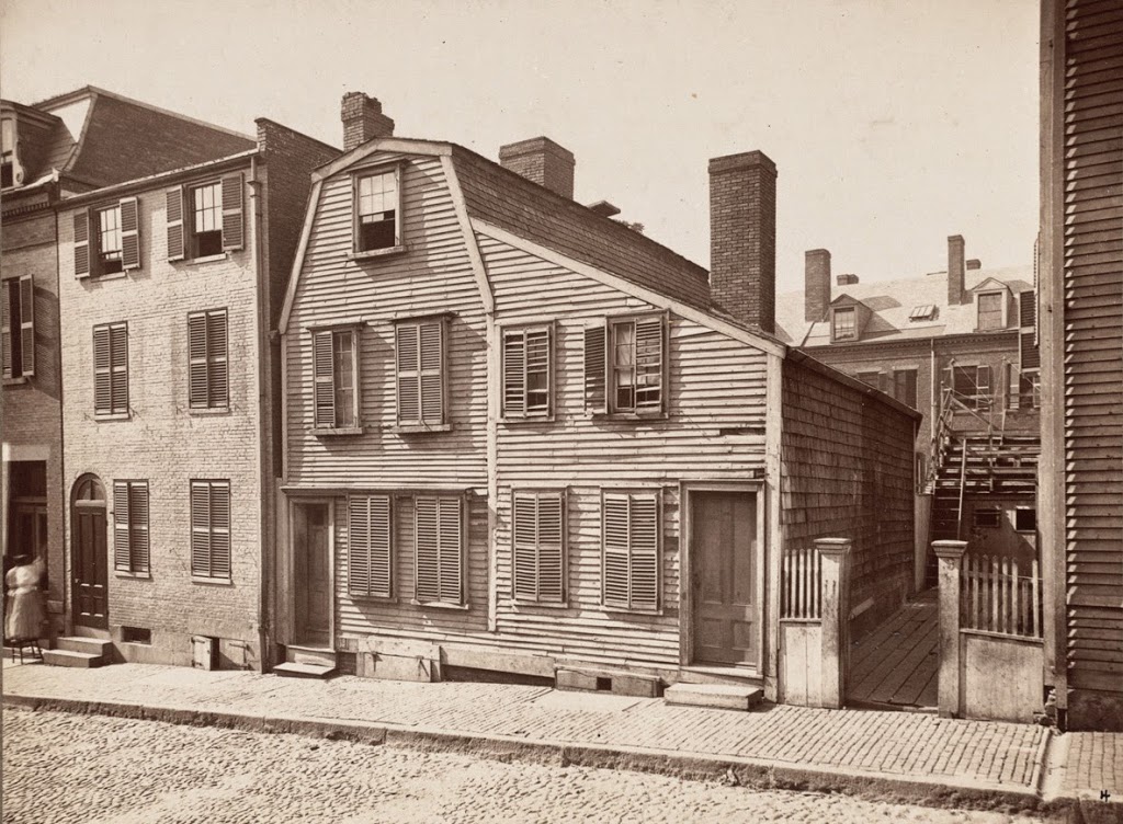
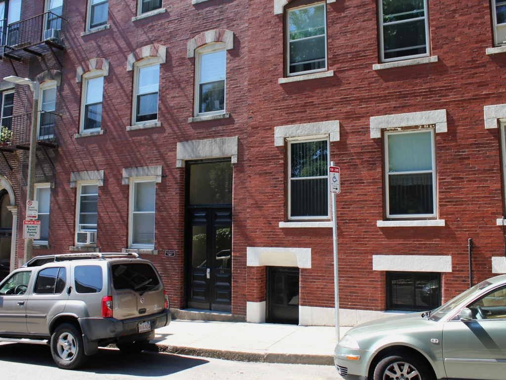
Edmund Hartt House, Boston

The Edmund Hartt House on Hull Street in Boston, sometime in the 1800s. Photo courtesy of Boston Public Library.

Houses

The scene in 2014:

The house in the first photo was built sometime in the 1700s; I have seen three different accounts that give three different dates.  Regardless, it is best known as the home of Edmund Hartt, a shipbuilder whose yard constructed some of the US Navy’s first ships.  Most significantly, his yard was one of the six around the country chosen to build the first Congressional-authorized naval ships.  Completed in the late 1790s, five of the six ships are long gone, but Hartt’s work – the USS Constitution – is still around, just across the harbor from the place where his house once stood.  His house was probably demolished sometime in the first decade of the 20th century, but his gravesite can still be visited, directly across the street at Copps Hill Burying Ground.


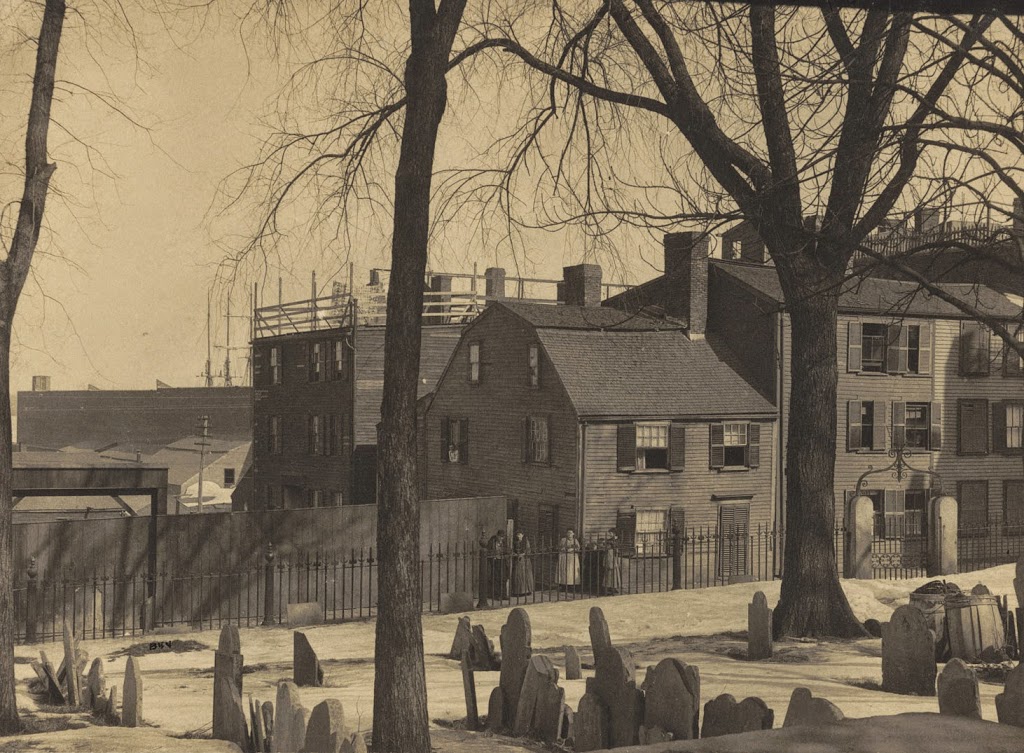
Copp’s Hill Burying Ground, Boston (3)

Another view from Copp’s Hill Burying Ground in the North End, around the 1880s or early 1890s. Photo courtesy of Boston Public Library.

277_1898c-2Bbpl

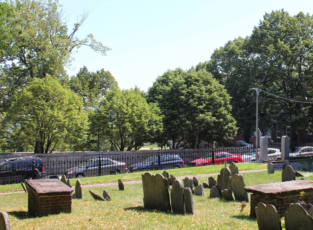
The cemetery in 2014:

277_2014

The house in the background is the Johnson-Singleton House, and was built in the mid 1700s.  Located on Charter Street, it and the surrounding buildings were demolished in the 1890s to create Copp’s Hill Terrace, a public park between Charter Street and Commercial Street.  Boston Harbor is in the background, but it is obscured by buildings in the first photo and trees in the present-day photo; the only hint of its presence is the tip of the masts of a sailing ship in the first photo.

Ebenezer Hancock House, Boston

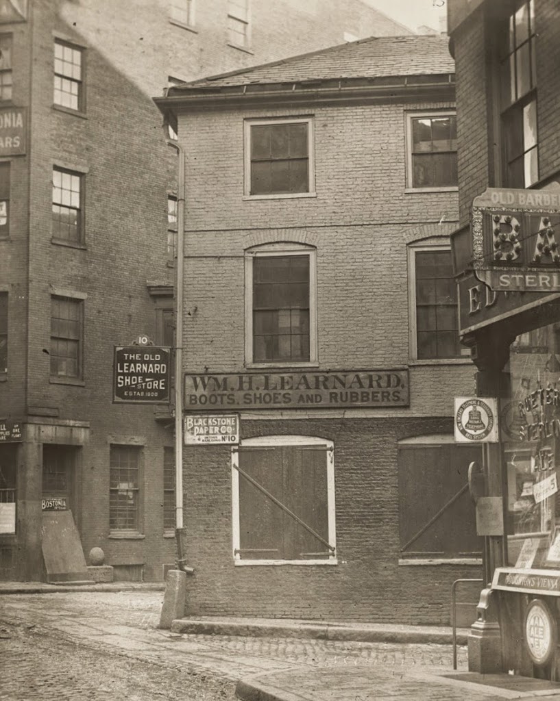
The Ebenezer Hancock House in Boston’s Blackstone Block, before 1886. Photo courtesy of Boston Public Library.
269_1800sc-bpl

The scene in 2014:

269_2014

Boston’s Blackstone Block is in an odd location; the collection of historic 18th and 19th century buildings and narrow, 16th century alleys sits as sort of a time capsule, surrounded by modern development.  On one side is the Government Center area, where street scenes like this were demolished wholesale and replaced with concrete monoliths and open paved areas, and on the other side is the Central Artery, where the elevated highway was originally built in the 1950s before being put underground as part of the Big Dig.

However, the Blackstone Block appears virtually unchanged in over 125 years.  A few notable landmarks are visible in these photos, including the Ebenezer Hancock House in the center.  In the 19th century, it was home to William H. Learnard’s shoe store, who operated out of the building from the 1820s until 1886.  He wasn’t the only person to own a shoe store here, though.  The building functioned as a shoe store from 1798 until 1963, and is today used for offices.  Originally, though, it was a house, and was built around 1767 and later owned by Ebenezer Hancock, the brother of John Hancock.

Also of note in this photo is the Boston Stone, seen in the background, embedded in the wall of the building to the left of the Ebenezer Hancock House.  Supposedly, this stone, which actually predates the circa 1835 building, was once used as the zero milestone for Boston, but this doesn’t appear to be likely.  The building, though, is probably the one thing that has changed the most since the first photo was taken.  At some point in the mid 20th century, the building was trimmed down to just three stories.  Today, it has all of its floors again, but this is a recent addition; photos in this post, from the other side of the building, show that the extra stories weren’t there in 2011.

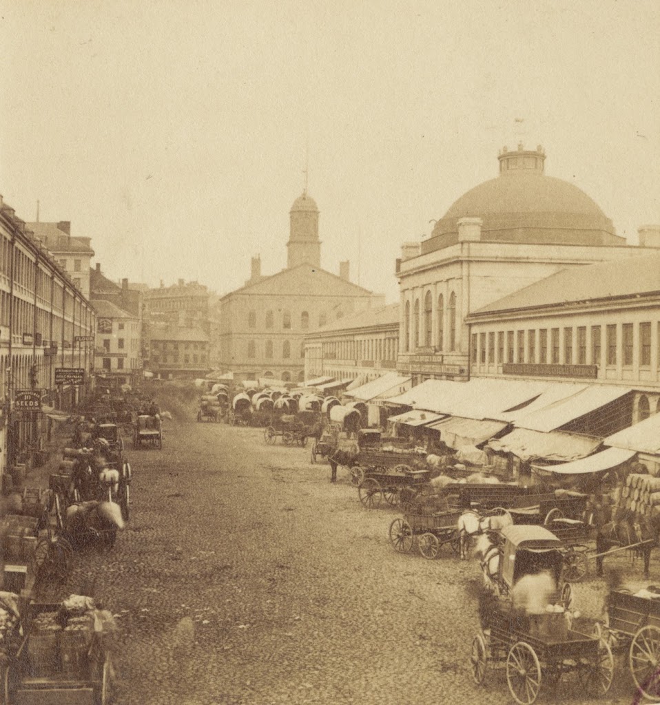
Quincy Market, Boston (3)

Quincy Market, facing west toward Faneuil Hall, sometime in the 1800s.  Photo courtesy of Boston Public Library.

251_1800sc-bpl

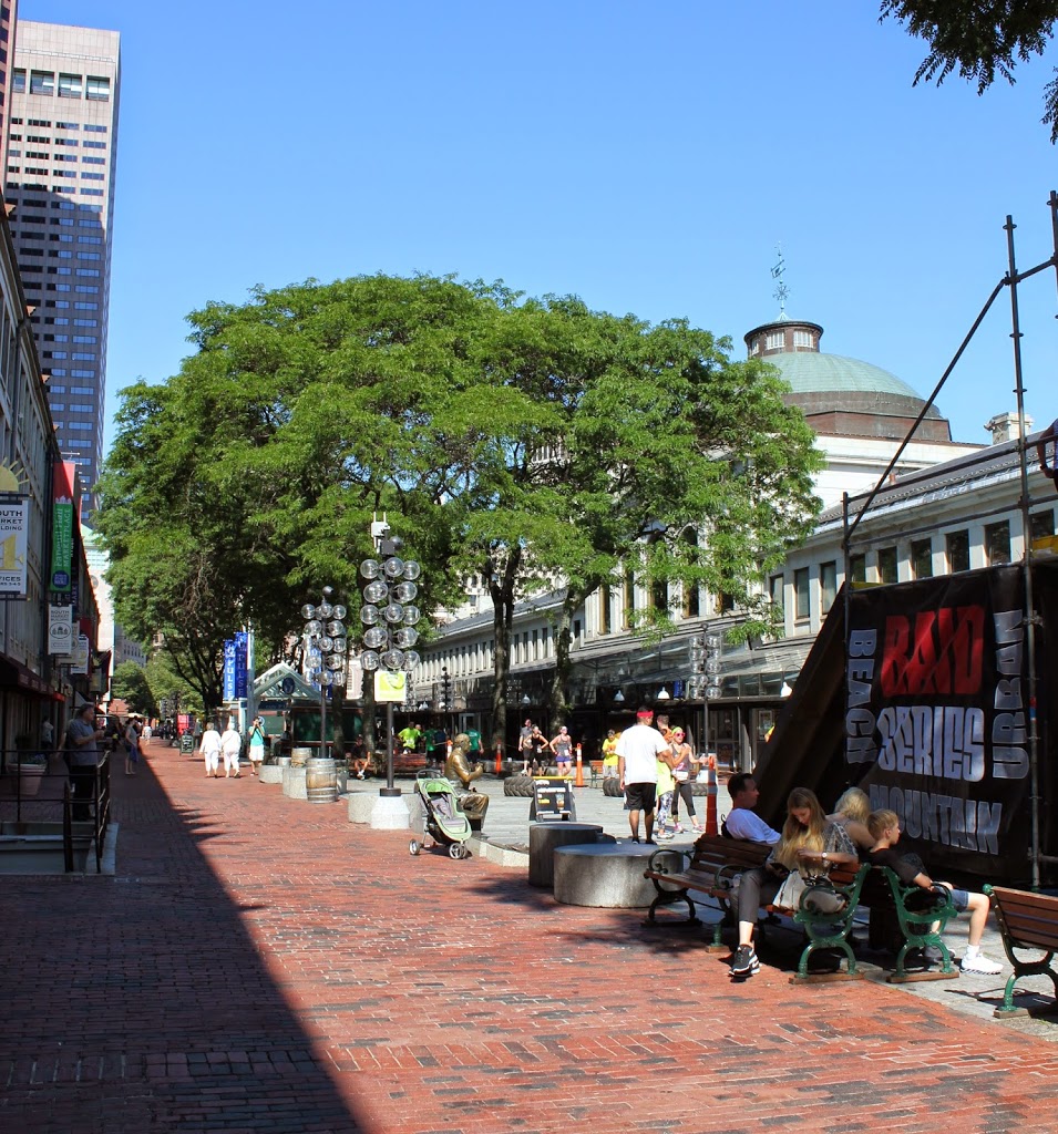
The scene in 2014:

251_2014

Another view of Quincy Market, showing the difference between the business-oriented market in the 1800s, and the tourist-oriented scene today.  In this particular 2014 view, it was taken during the Urban Raid, a 5k race and obstacle course that went through the City Hall area of Boston.

Quincy Market, Boston (1)

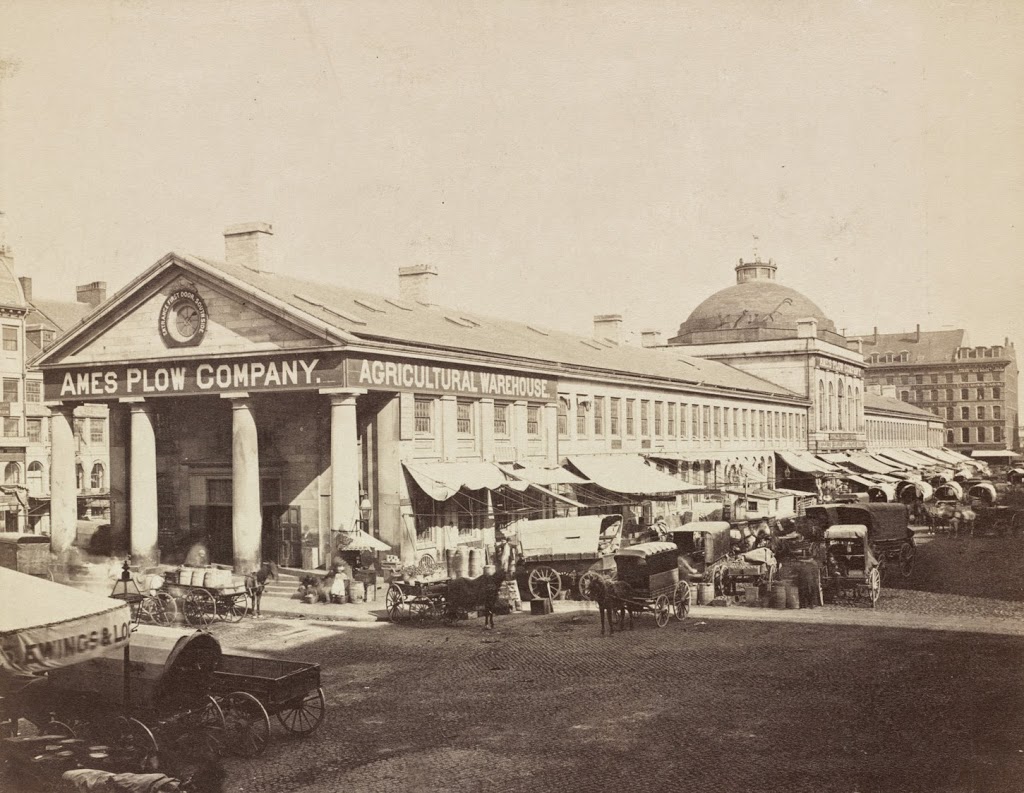
The view of Quincy Market looking east from in front of Faneuil Hall, sometime in the 1800s.  Photo courtesy of Boston Public Library.

249_1800sc-bpl

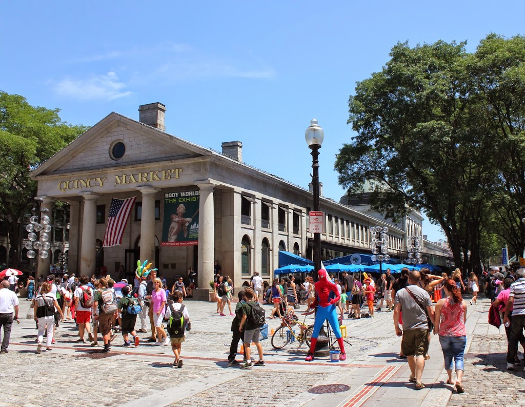
The same view of Quincy Market in 2014:

249_2014

Built in 1825, Quincy Market has been a major commercial center for nearly 200 years.  However, its role and the surrounding neighborhood have certainly changed.  Originally, as seen in the first photo, it was a place for Bostonians to buy and sell food products, ranging from fruits and vegetables to cheese and meat.  It was also built right along the waterfront; today it is several blocks from Boston Harbor.  But, the building hasn’t moved – the waterfront has.  Over the years, Boston has significantly expanded its land area, both through annexing surrounding towns but also through landfill, which included dumping dirt, rocks, construction debris, and even old ships into the harbor and building atop it.

Because of that, Quincy Market is no longer has a waterfront location, but it is still a commercial center, although today it consists of fast food vendors that primarily cater to tourists and workers from nearby City Hall.  The Quincy Market area also offers shopping, gift stores, and in this particular scene, photos with Spider-Man.  It is also located along the Freedom Trail, which is marked by the brick path in the foreground.

Beacon Street looking west from Charles Street, Boston (2)

Another view, around 1887, looking west on Beacon Street from Charles Street.  Photo courtesy of Boston Public Library.

247_1887-bpl

The scene in 2014:

247_2014

A similar view to the photos in this post, these photos show how Beacon Street has changed in the past 127 years.  Not a whole lot of dramatic changes have occurred; the street is now a paved, four lane thoroughfare, but the Public Garden is still there on the left, and many of the rowhouses on the right are still there, including the granite ones from 1828 on the far right of the photos.