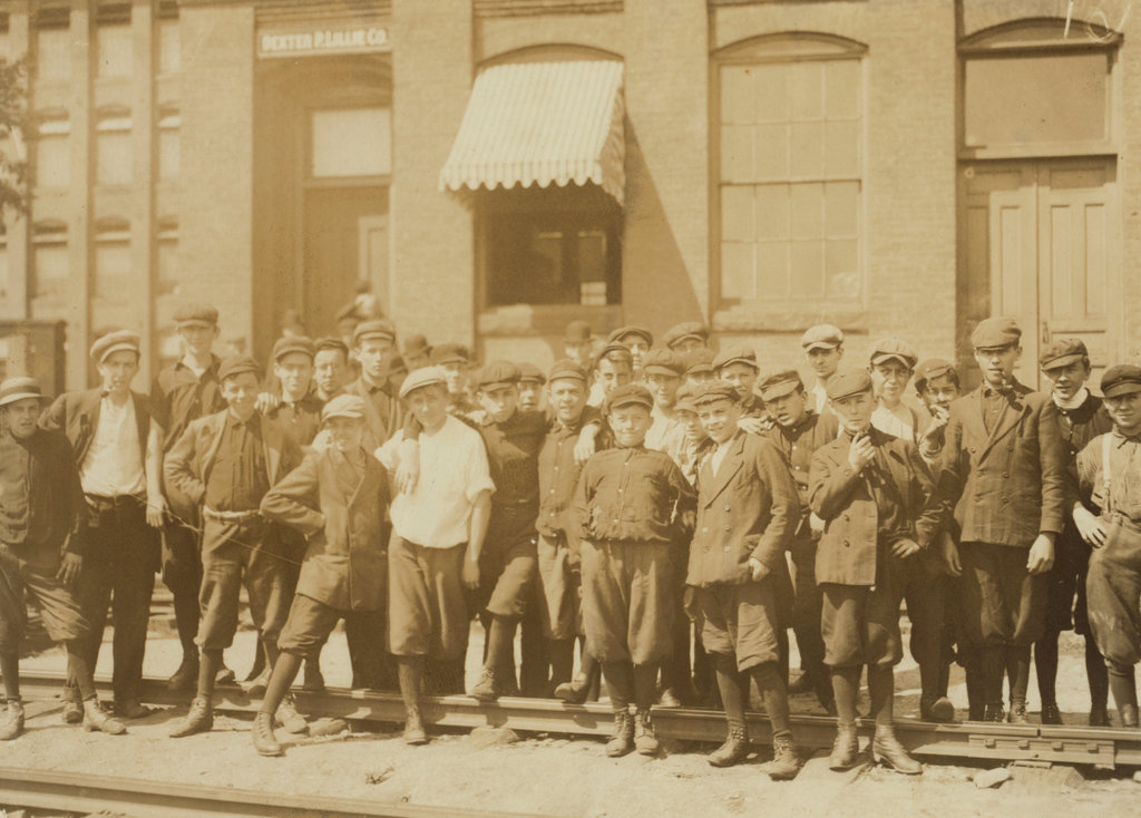
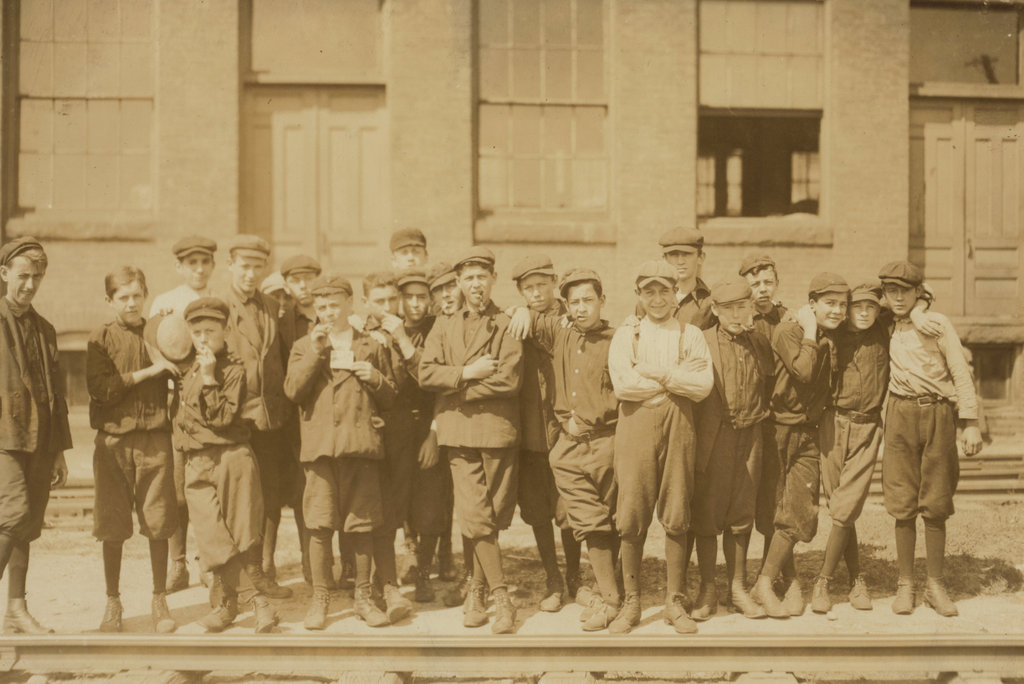
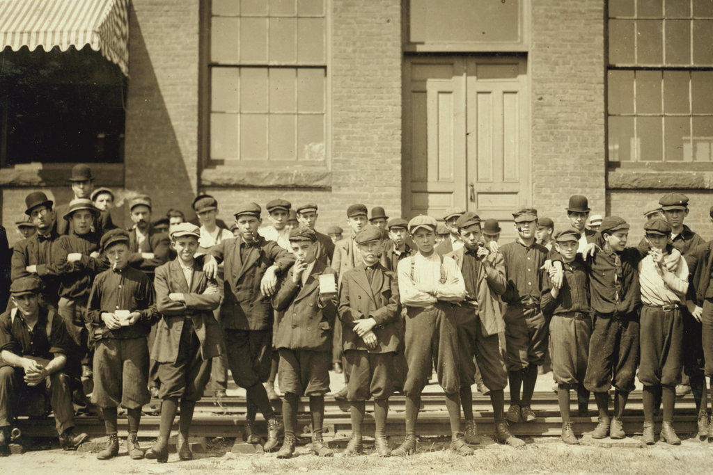
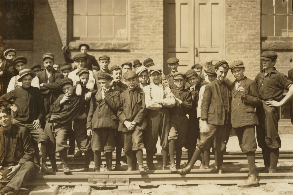
One more scene at the Indian Orchard Manufacturing Company from September 1911. Image courtesy of the Library of Congress, National Child Labor Committee Collection.
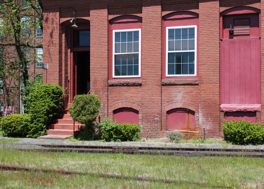
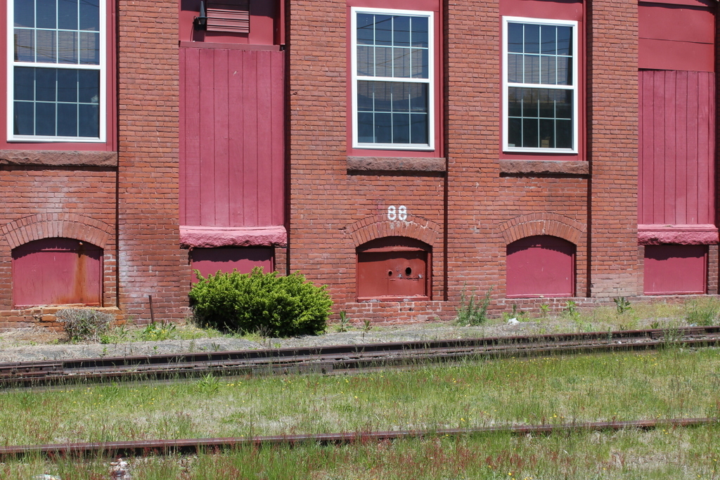
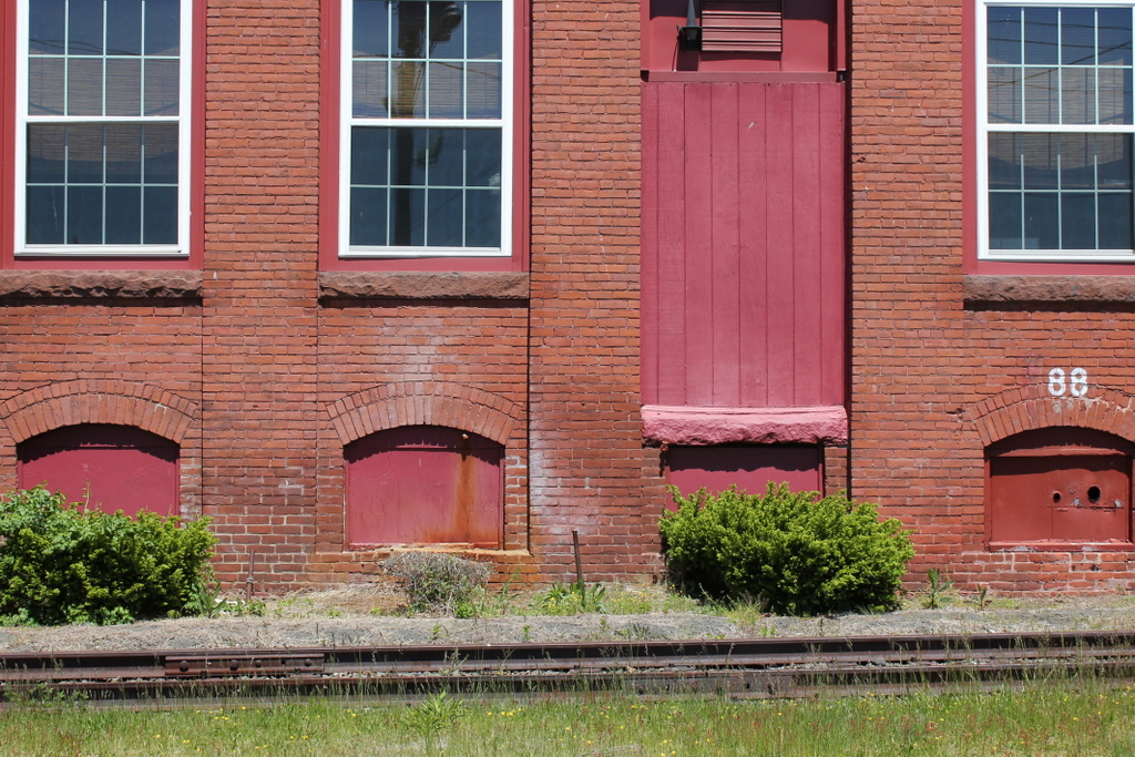
The scene in 2020:
Like the 1911 photos on the posts here, here, and here, this shot by Lewis Wickes Hine captures a moment of the lives of these young boys who worked full time in the textile mills in Indian Orchard. Although anonymous faces to a modern-day audience, most of these boys were likely French-Canadian, Polish, or Irish immigrants who left school at around sixth grade (or earlier) to supplement their families’ income. Many of them would probably go on to fight in World War I, live through the economic hardships of the Great Depression, and have children who would fight in World War II. Today, many of them probably have grandchildren and great-grandchildren who live in the Springfield area.
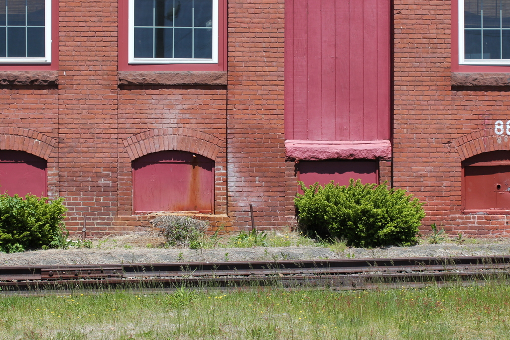
Through all the generations, though, the scene has stayed pretty much the same – the building, which was built in 1895, still stands, and is still used for industrial purposes, unlike so many other historic mill buildings in New England. The railroad tracks are still there – perhaps the same rails as in 1911 – although the line, which once extended all the way to Athol, now ends just a few hundred yards short of the factory.