Dwight Manufacturing Company, Chicopee Mass (2)

Employees of the Dwight Manufacturing Company in Chicopee, Mass, in November 1911. Image courtesy of the Library of Congress, National Child Labor Committee Collection.

133_1911-11 loc

In 2014:

133_2014-03

Taken in the same area as this photo, this photo shows a group of workers at Dwight Manufacturing Company in Chicopee, in November, 1911. Photographing for the National Child Labor Committee, Lewis Hines writes this about the boy in the foreground:

A young boy, unable to speak a word of English. Working here. A boy said his name is John Krakowski. Location: Chicopee, Massachusetts.

Dwight Manufacturing Company, Chicopee Mass (1)

Employees of the Dwight Manufacturing Company in Chicopee, Mass, in November 1911. Image courtesy of the Library of Congress, National Child Labor Committee Collection.

132_1911-11 loc

The same scene in 2014:

132_2014-03

This photo was one of many taken in Chicopee by noted photographer Lewis Hine, during his travels across the United States documenting child labor issues.  Photographing for the National Child Labor Committee, his photographs are now available through the Library of Congress, so I decided to try to re-create some of his Chicopee photos.

This one is probably my favorite, because the scene can be re-created so perfectly; the brick walls, the “1894” on the granite pillar, and even the wrought iron gates are still there.  At the time that the photographs were taken, the factory belonged to the Dwight Manufacturing Company; it was part of a sprawling complex of factories and boarding houses along the Chicopee River, and many of the buildings still exist today, including the main entrance, which is surprisingly unchanged over 100 years later.

Hine identified the young man on the left as Stanislaus Fabara, writing this as the caption of the photo:

Watchman Stanislaus Fabara, 59 Exchange St. Works in cloth room. The day before he gave me his name as Frank Fabara and today said it was wrong. “We give wrong names when we think trouble is coming.” Two other boys here acknowledge giving me wrong names also. Location: Chicopee, Massachusetts.

North End, Boston

The North End of Boston from the Charlestown Navy Yard, in 1870, with the USS Kearsarge in the foreground. Photo courtesy of Boston Public Library.

The scene in 2021:

Boston’s skyline has obviously changed significantly over the past 150 years, but at least one constant remains in both photos: Old North Church, which is barely visible behind some masts, just to the left of the Kearsarge, in the 1870 photo.  The Kearsarge was a famous ship by this point – during the Civil War, she defeated the infamous Confederate commerce raider CSS Alabama.  After she was decommissioned, a US battleship was named after her; she is the only non-state to have a US Navy battleship named after her.

Times Square

Times Square, as it appeared around 1905. Image courtesy of the Library of Congress, Detroit Publishing Company Collection.

130_1905c loc

The same view in 2014:

130_2014

The tall building toward the right-hand side of the 1905 photo is actually still there – it’s the Times Square Building, and was the headquarters of the New York Times in the early 20th century, hence the name “Times Square.” The New York Times hasn’t used the building in a century, but it’s still there, covered in billboards, and with the famous New Years ball at the top. Because of the building’s narrow dimensions, it’s actually more profitable to cover it in billboards and electronic signboards instead of renting it out.  Otherwise, all of the other buildings in the first picture are either gone or are completely hiding behind billboards and signs.  I think I like the 1905 photo better.

Manhattan Skyline from Brooklyn

The view from Brooklyn looking toward Manhattan, around 1900. Image courtesy of the Library of Congress, Detroit Publishing Company Collection.

127_1900c loc

The view, at night, in 2013:

127_2013

The skyline of Lower Manhattan has changed substantially in the past century, as seen in the previous photos I have posted on here. I don’t have any daytime photos of this view today, but I felt that this night photo sufficiently captured the changes that have happened. As far as I can tell, none of the buildings in the first photo are visible in the 2013 one. Some, including the Park Row Building on the far right of the first photo, still exist, but are hidden behind the modern skyline.

Manhattan Waterfront from Brooklyn Bridge

The view of Lower Manhattan, looking south from the Brooklyn Bridge, around 1901. Image courtesy of the Library of Congress, Detroit Publishing Company Collection.

128_1901c loc

The view from the Brooklyn Bridge in 2013:

128_2013

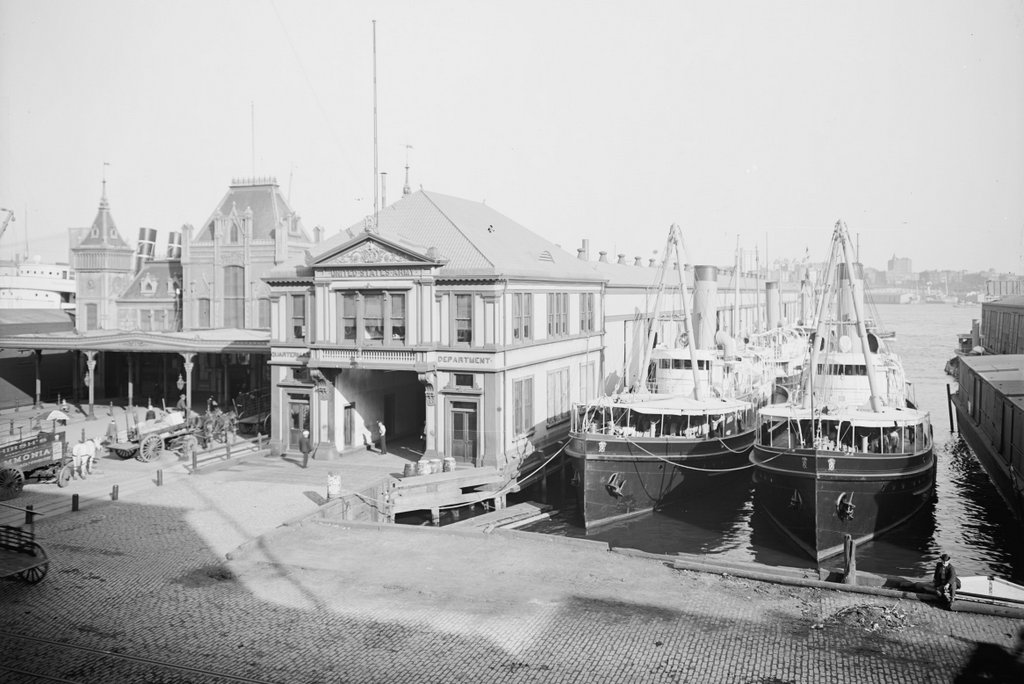
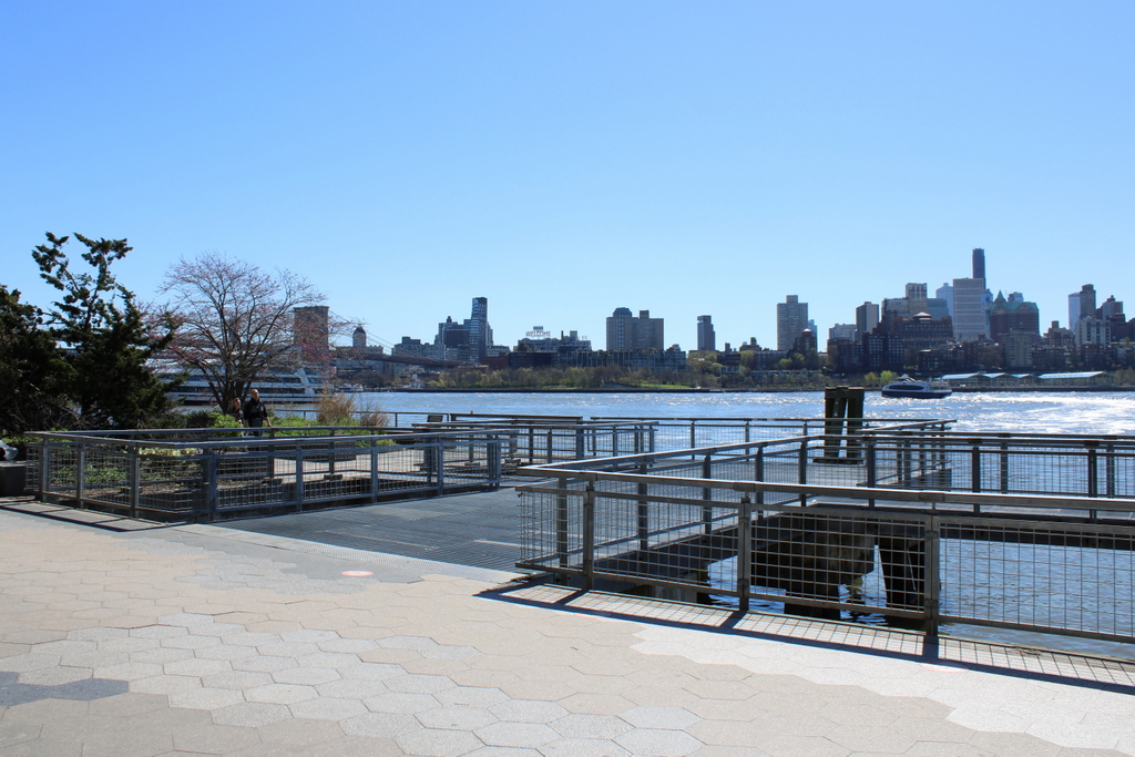
Manhattan’s waterfront is quite different today from 100 years ago. Once a major transportation hub, today the FDR Drive along the waterfront is a major transportation corridor, instead of the East River that it runs parallel to. In the foreground of the first photo are the piers for the New Haven Line, a steamship company that operated ferries between Manhattan and New Haven, with railroad connections to points north. The closest steamship is the SS Robert Peck, which was built in 1892 as the flagship of the line. In 1943, it was transferred to the Navy, and served as floating barracks for part of World War II.