Reuben Brown House and Saddler’s Shop, Concord, Massachusetts

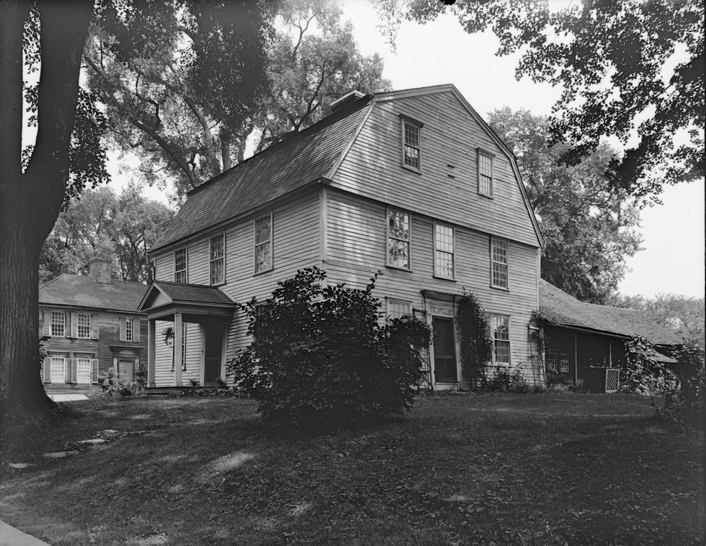
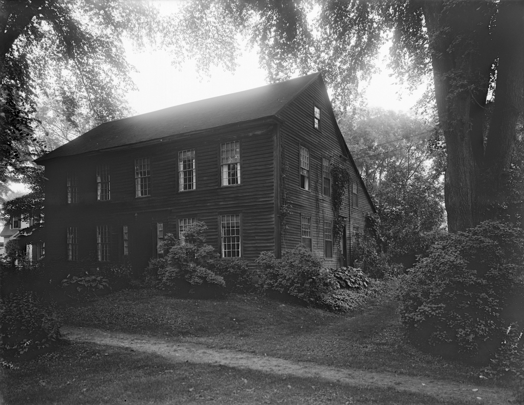
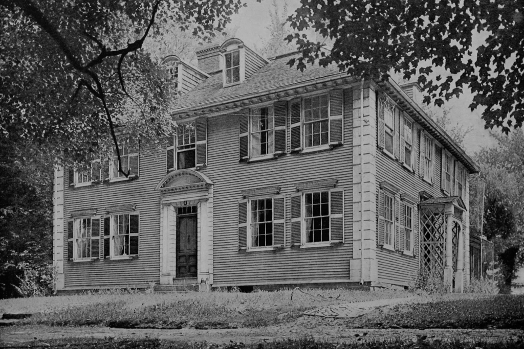
The houses at 77 and 69 Lexington Road in Concord, around 1895-1905. Image courtesy of the Boston Public Library.

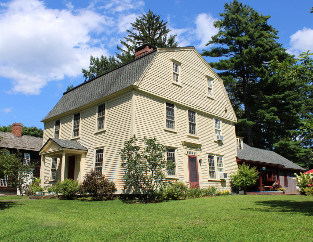
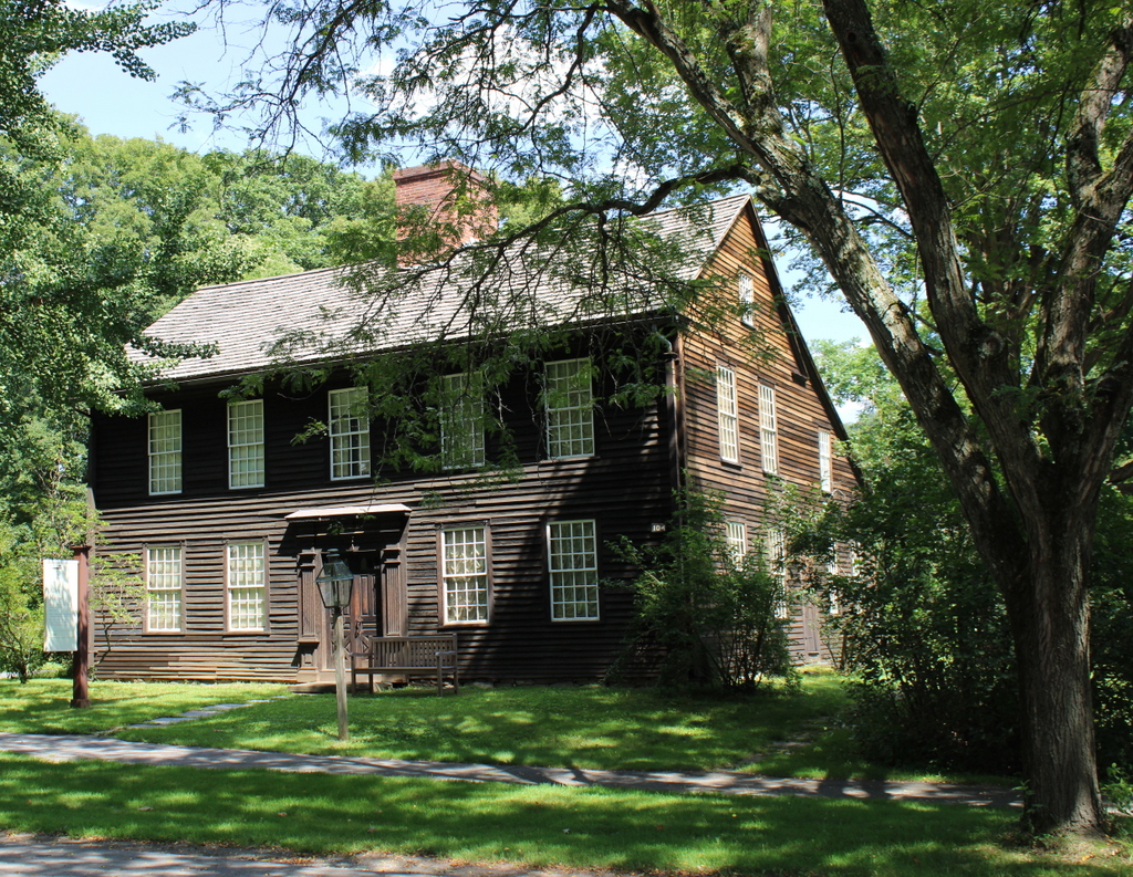
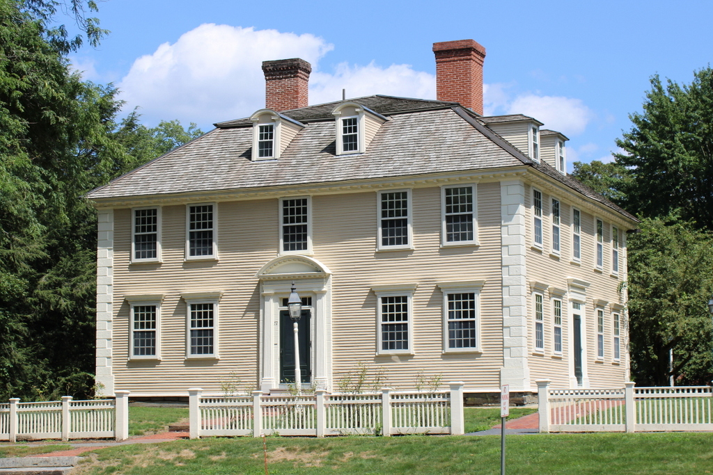
The scene in 2023:

These two photos show a pair of houses on the north side of Lexington Road, just east of the town center of Concord. Although located on separate parcels now, the histories of these homes are closely connected. The house on the right, at 77 Lexington Road, was evidently built around 1720. At one point it was believed to have been constructed around 1667, but this is not supported by architectural evidence inside the house, which suggests an early 18th century date.

According to the building’s MACRIS documentation, the house’s early 18th century ownership is difficult to untangle, but it appears to have been owned by the Bulkeley family, including Colonel Joseph Bulkeley and his son John Bulkeley, before being sold to Francis Fletcher in 1725. Exactly which owner built the house is uncertain, but it appears to have been built by the time Fletcher purchased it. He then sold the property to Edward Emerson in 1737, whose widow Hannah later sold it to Henry Gould in 1750.

Gould was a saddler, and he lived in the house on the right, but he may have had his saddler’s shop in the house on the left. It was likely also built sometime around the 1720s, and historical evidence suggests that it was originally a manufacturing shop, before being converted into a residence in the 19th century. After Gould’s death, his widow sold the entire property to another saddler, Reuben Brown, who may have been Gould’s apprentice.

These buildings are perhaps best remembered for their involvement with the events of April 19, 1775, during the Battles of Lexington and Concord. During their brief occupation of the Concord town center, British soldiers looted Brown’s shop. They commandeered his chaise and used it to transport wounded soldiers, and they helped themselves to saddles, bridles, stirrups, and cartridge boxes. They also started a fire in his shop. It may have been accidental, and it was soon extinguished, but it was one of only two buildings in town that were damaged by fire on the day of the battle.

Despite having property damaged and stolen at the start of the Revolution, the war ultimately proved lucrative for Brown. He produced various leather products for the army, and by the 1780s he was able to afford a major expansion of the house, which had previously been much smaller. He and his wife Polly lived here for the rest of their lives, until her death in 1823 and his death in 1832, and their son Reuben Brown Jr. subsequently inherited the property.

The younger Reuben died in 1854, and both the house and the saddler’s shop were then purchased by George Clark, who lived here with his wife Julia. It was apparently during their ownership that the saddler’s shop on the left was converted into a residential building. The Clarks lived in the former saddler’s shop, and they operated both buildings as boarding houses. Among the people who are said to have rented rooms here include Transcendentalist author Ralph Waldo Emerson and abolitionist John Brown.

After George Clark’s death in 1871, Julia continued to run the boarding house here in both buildings, but in 1886 she sold the larger house at 77 Lexington Road to the Concord Antiquarian Society, which used the house as its museum. Julia remained in the house on the left at 69 Lexington Road until her death in 1899, and her daughter Harriet Warren subsequently inherited it.

The top photo was taken at some point around the turn of the 20th century, when the Concord Antiquarian Society was still located in the house on the right. However, in 1930 the organization moved down the street to a new, purpose-built museum building. Now known as the Concord Museum, it is still located there today.

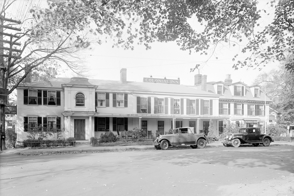
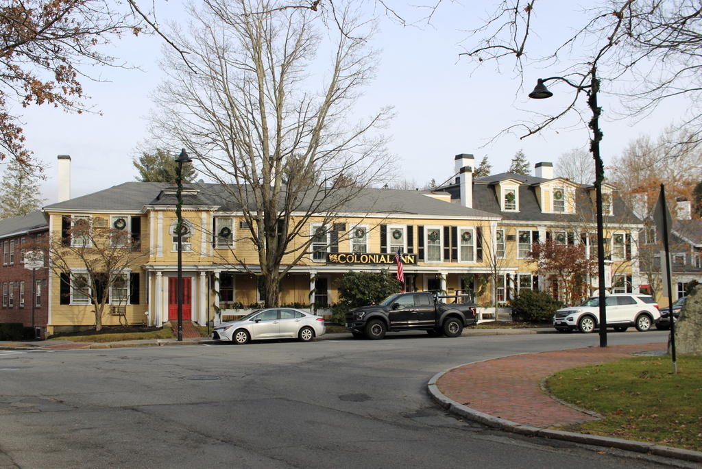
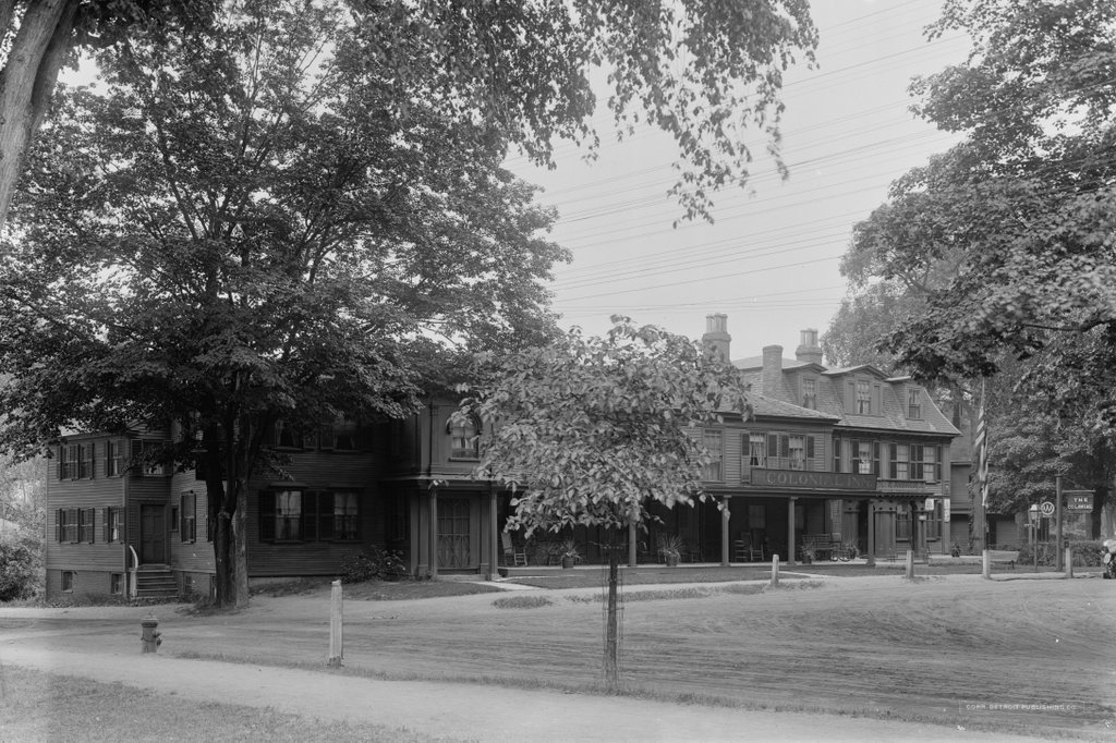
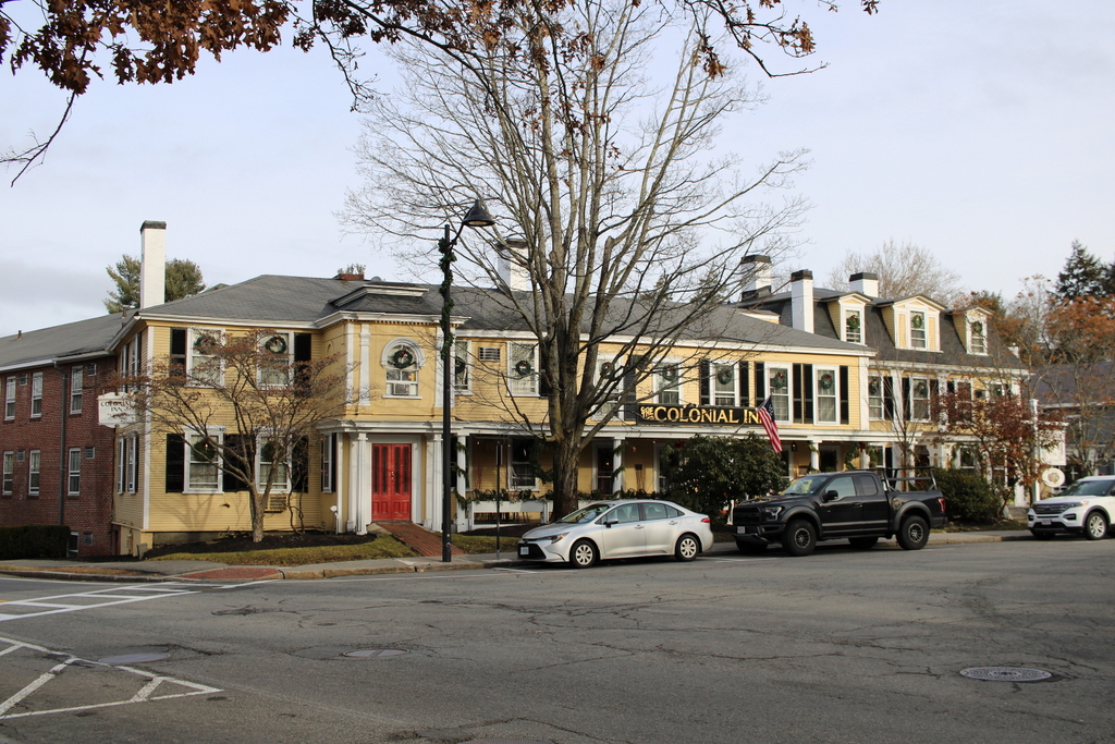
After the museum moved out of 77 Lexington Road, the house was sold and operated as a restaurant and inn for many years, before eventually being converted back into a private residence in 1955. In the meantime, the former saddler’s shop on the left went through a variety of owners over the course of the 20th century, and remains a private residence.

Today, more than a century after the top photo was taken, this scene still looks largely the same. There have been some landscaping changes, including the retaining wall in the front yard of 77 Lexington Road, and the house itself has seen some modifications, including the triple windows on the third floor and an addition to the ell on the south side of the house. Neither of the houses still have shutters, although these were likely 19th century additions, as colonial New England houses generally did not have exterior shutters. Overall, these two homes survive as important witness houses to the events of April 19, 1775, and they are among the many historic homes that line this portion of Lexington Road.

John Dickinson House, Hatfield, Massachusetts

The house at the corner of South Street and Bridge Lane in Hatfield, in April 1934. Image taken by Arthur C. Haskell. Library of Congress, Historic American Buildings Survey Collection.

The house in 2024:

This house, which is also referred to in some sources as the Morton House, was built around 1762 by John Dickinson. It is a saltbox-style house, with a second story on the front part of the house and a long, sloping roof in the back. This design was typical for mid-18th century homes in the Connecticut River valley, and the large center chimney was also a common feature from homes of this period. However, this house is probably best known for its elaborate front doorway. Such doorways were often found on higher-end homes in the valley during the mid-18th century, although this one is unusual because it is topped by a rounded pediment, rather than the more common flat-top or scroll pediments.

During the 19th century, the house was owned by the Morton family, with the 1873 county atlas showing an M. Morton here. By the time the top photo was taken in 1934, it was owned by Eugene E. Jubenville. The photo was part of the Historic American Buildings Survey documentation of the house, which also included a series of architectural drawings of the interior. By this point, the exterior of the house had undergone some changes, including the installation of exterior shutters and 2-over-2 windows, but overall it retained much of its 18th century form, including its distinctive doorway.

Today, the house is still standing here, as shown in the second photo. There have been some changes, including the loss of the outbuildings and barns behind the house, but otherwise the house itself has seen few changes. In some ways, it even looks more true to its historic appearance now than it did in 1934, due to the removal of the shutters and the installation of 18th century-style 12-over-12 windows. The ornate doorway is also still there, although it is now hidden from this angle by the large hydrangea bush. This plant must be around 100 years old now, because it is also visible in the 1934 photo, back when it was much smaller.

Samuel Boardman House, Wethersfield, Connecticut

The house at 520 Main Street in Wethersfield, around 1935-1942. Image courtesy of the Connecticut State Library, State Archives, RG 033:28, WPA Records, Architectural Survey.

The house in 2024:

The historical marker on this house indicates that it was built around 1769 as the home of Samuel Boardman. This date coincides with the year of his first marriage, to Ann Wright. Because new homes were often constructed for newlywed couples, this wedding was likely the basis for the date estimate. However, it may have actually been built several years later, because the book Families of Ancient Wethersfield, Connecticut states that Boardman initially lived on Broad Street, but that he had to sell that property in 1774 because of business dates. According to the book, he then moved into this house, which implies that this house was likely built in 1774 or later.

Samuel Boardman was a merchant, and he owned ships that were involved in the West Indies trade. Although located many miles from the ocean, Wethersfield is on a navigable portion of the Connecticut River, so it became an important seaport for oceangoing vessels during the colonial period. Boardman also served in the American Revolution, and in 1775 he opened a saltpeter factory here in Wethersfield. Because this was during the war, and because saltpeter is an important ingredient in black powder, it seems likely that his saltpeter was used for the production of gunpowder.

Boardman had three children with his first wife Anne, before her death in 1774. He then remarried to Naomi Butler, and they had seven more children who were born between 1776 and 1793. Samuel lived here for the rest of his life, until his death in 1822 at the age of 78. His widow Naomi died four years later in 1826 at the age of 73, but the house would remain in their family throughout much of the 19th century. The 1869 county atlas shows this property as belonging to “Miss Boardman,” which likely refers to their daughter Julia. She never married, and she was the last living child of Samuel Boardman. Based on the map and the census records, she appears to have lived here until her death in 1876 at the age of 89.

The top photo was taken around the late 1930s, and by that point the house had undergone some exterior changes. Most significantly, the windows here on the front part of the house were 2-over-2 sashes, which would not have been original to the house. The documentation that accompanied the top photo indicated that the house was in “poor” physical condition, although this is not readily evident from the exterior appearance in the photo.

Today, more than 80 years after the top photo was taken, the house is still standing. It looks much better now than it did back then, including the installation of historically-appropriate 12-over-12 windows. Its design is typical for 18th century homes in the area, including a central chimney and symmetrical front façade with four windows on the first floor and five windows on the second floor. Although not visible from this angle, it also has a so-called “coffin door” on the south (right) side of the house. Overall, the exterior of the house has remained well-preserved over the years, and it is one of the many homes that comprise the Wethersfield Historic District, which was added to the National Register of Historic Places in 1970.

Cove Warehouse, Wethersfield, Connecticut (3)

The Cove Warehouse in Wethersfield on July 29, 1940. Image courtesy of the Library of Congress, Historic American Buildings Survey Collection.

The scene in 2024:

The top photo was taken on the same day as the one in the previous post, as part of an effort to document the building for the Historic American Buildings Survey. At the time, the Cove Warehouse had just been restored for the second time in less than a decade. Built in the late 17th century as a warehouse for the town’s merchants, it survived throughout the colonial period and the 19th century. It was eventually restored in the early 1930s, but then in 1936 it was damaged by a major flood that caused extensive damage throughout the Connecticut River Valley. However, the building was again restored, and the top photo was taken soon after this work was completed.

Since then, there have been a few changes to this scene, most notably the retaining wall that was added in 1971 to prevent erosion. The dock in the top photo is gone, perhaps as a result of this project, but it was likely a 20th century feature anyway. Otherwise, the warehouse itself is still standing, It is an important town landmark, and it is operated as a seasonal museum by the Wethersfield Historical Society.

Cove Warehouse, Wethersfield, Connecticut (2)

The Cove Warehouse in Wethersfield on July 29, 1940. Image courtesy of the Library of Congress, Historic American Buildings Survey Collection.

The scene in 2024:

These two photos show the Cove Warehouse, which is explained in more detail in the previous post. It was built sometime in the late 17th century as one of six warehouses that stood here along what was, at the time, the banks of the Connecticut River. A flood in 1692 destroyed the other five warehouses, and it also altered the course of the river, creating the “Cove,” which is isolated from the river except for a narrow inlet.

This warehouse was the sole survivor from the 1692 flood, and throughout the 18th century it was used by the town’s merchants, who were able to sail oceangoing vessels up the river to Wethersfield. It was restored in the early 1930s, but it was heavily damaged in the March 1936 flood. However, it was subsequently restored, and the top photo shows the building in 1940, shortly after its restoration.

Today, the building’s appearance has not changed much in the past 84 years. The dock behind the building—which was likely added during the restoration—has since been removed. This probably occurred in 1971, when a stone wall was built at the base of the foundation in the back of the warehouse to protect it from erosion. Otherwise, though, the building is still easily recognizable from the top photo. It stands as an important town landmark, and it is operated as a seasonal museum by the Wethersfield Historical Society.

Cove Warehouse, Wethersfield, Connecticut (1)

The warehouse at Wethersfield Cove, around 1935-1942 (but most likely in 1936). Image courtesy of the Connecticut State Library, State Archives, RG 033:28, WPA Records, Architectural Survey.

The building in 2024:

Wethersfield Cove is a pond-like body of water that is connected to the Connecticut River via a narrow inlet. It is a remnant of a river meander that was similar to the more famous Oxbow farther upstream in Hadley, Massachusetts. However, this meander in Wethersfield did not last long enough to be immortalized in a 19th century Thomas Cole painting, because it was flooded in 1692. The flood straightened the course of the river, turning the former meander into what became known as the Cove. Over the centuries it has remained a distinctive feature on the town’s landscape, and it is located at the northern end of Main Street, just north of the town center.

Both before and after the 1692 flood, Wethersfield was an important seaport. Although the town is many miles inland, it is located along the navigable portion of the Connecticut River, which allows oceangoing ships to arrive and depart from here. To serve this shipping, six warehouses were constructed here in the late 17th century, prior to the 1692 flood. All of these were subsequently destroyed by the flood with the exception of this one, which has survived to the present day.

Along the way, it has become an important town landmark, although at times it has been threatened both by neglect and by other floods. It was restored in the early 1930s, but then it suffered serious damage during the March 1936 flood, including being knocked off of its foundation. The top photo is undated except for the estimated 1935-1942 date range, but the condition of the building suggests that this was probably shortly after the flood.

After the flood, the building was again restored, and it continues to stand here as a rare surviving example of a 17th century New England warehouse. It is owned by the town, and it is rented to the Wethersfield Historical Society, which operates it as a seasonal museum. Today, the scene looks much the same as it did in the 1930s, with the exception of Interstate 91, which now passes through Wethersfield in the distance on the right side of the scene, crossing the narrow inlet that connects the Cove to the rest of the Connecticut River.