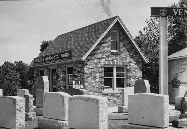
The Venezian Monumental Works building on State Street in Springfield, around 1938-1939. Photo courtesy of the Springfield Preservation Trust.
The building in 2015:
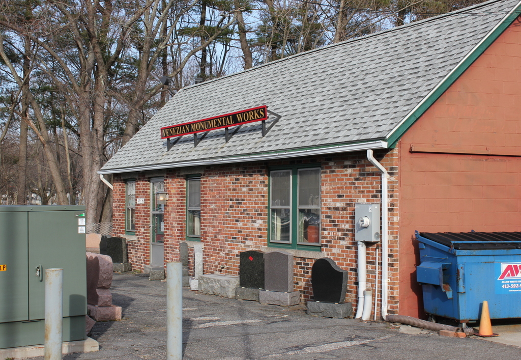
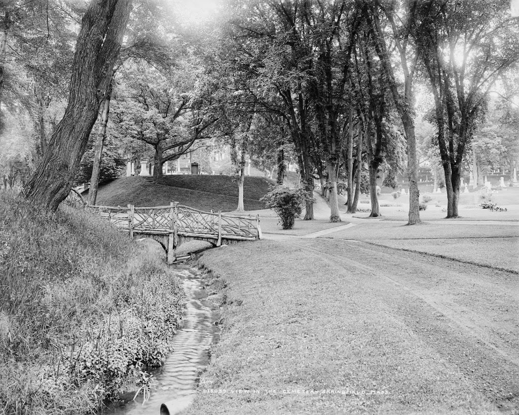
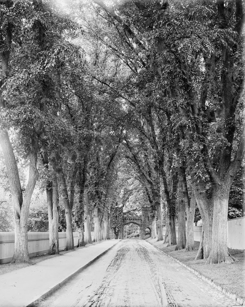
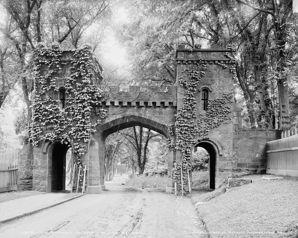
This building is located right next to the architecturally similar building at 1579 State Street, which was probably photographed on the same day as this one. However, while the former Frank’s Service building has long been shuttered, the Venezian Monumental Works is still in business. The company is actually substantially older than even the first photo; it was established in 1882, when the Pine Point neighborhood was on the remote outskirts of the city. Since then, the neighborhood has grown, which has presumably increased demand for headstones, and it also doesn’t hurt that they are located right next to St. Michael’s Cemetery. Today, the building has doubled in size, but the original section is still visible on the left side.