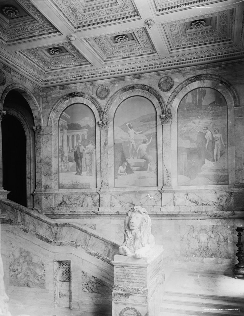
The grand staircase at the McKim Building, around 1901. Image courtesy of the Library of Congress, Detroit Publishing Company Collection.
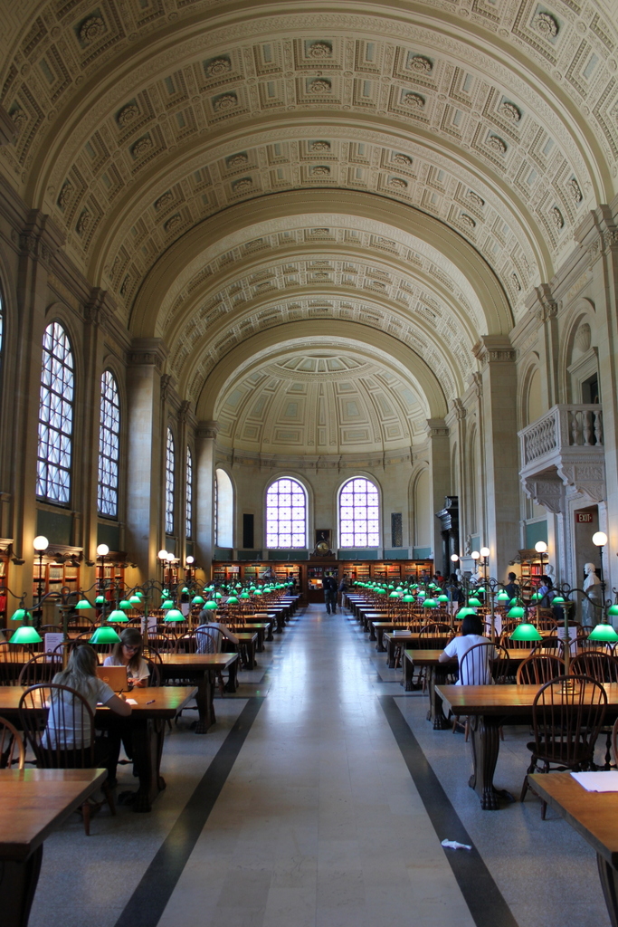
The staircase in 2021:

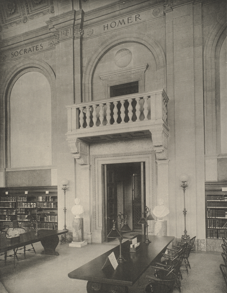
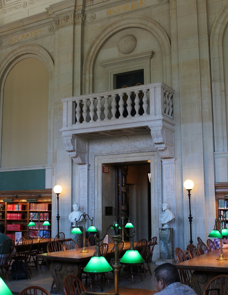
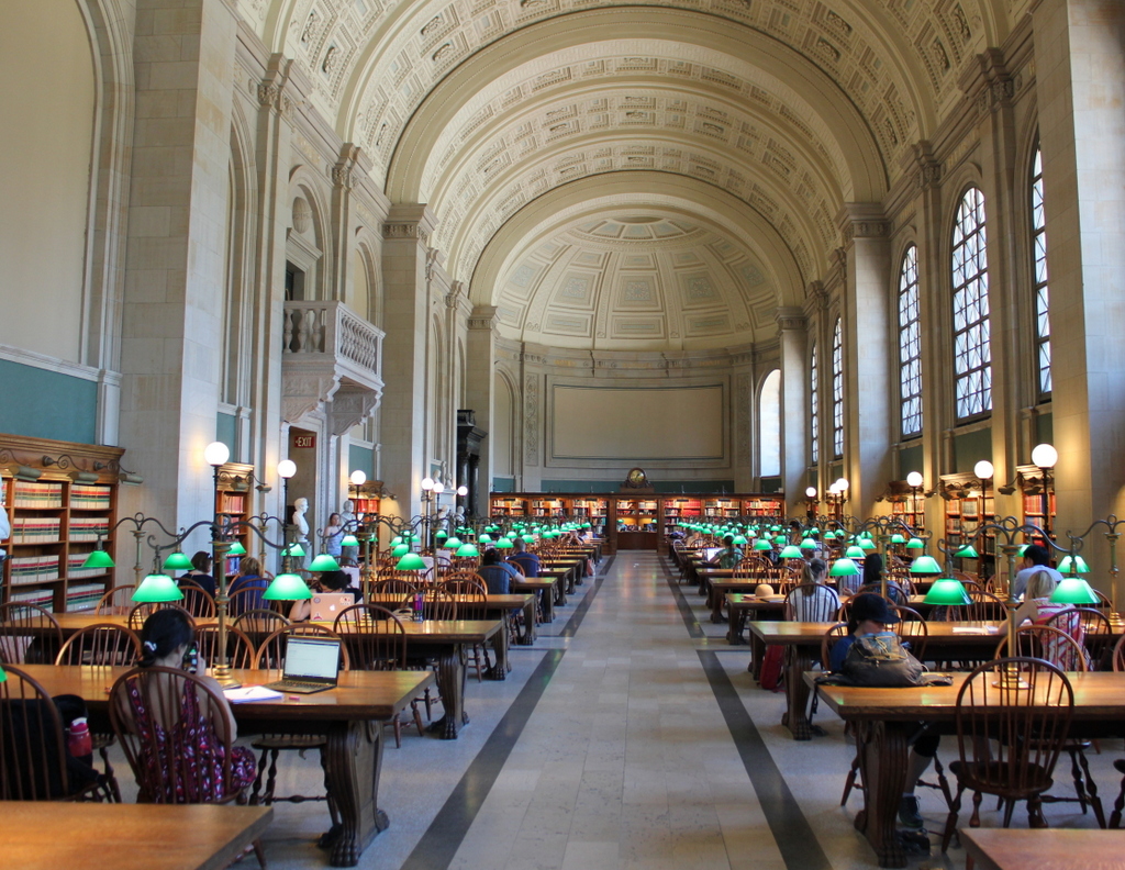
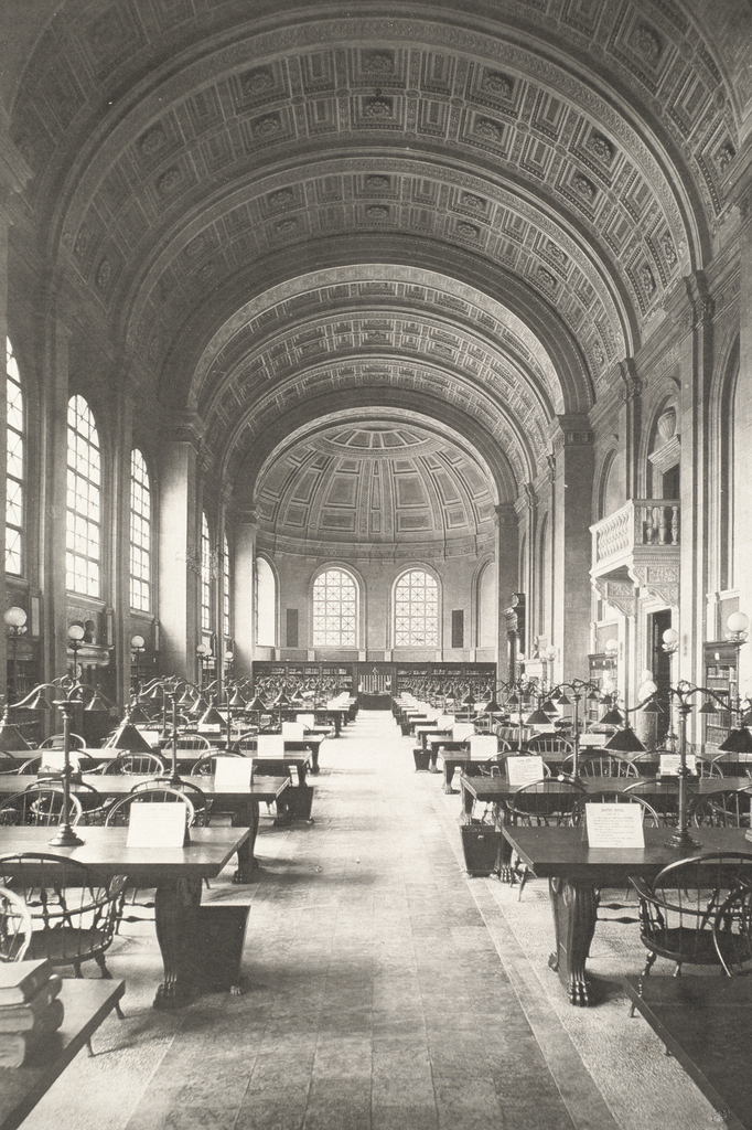
The main branch of the Boston Public Library is a work of art. With the architecture of Charles McKim, the sculptures of Augustus and Louis Saint-Gaudens, and murals by Edwin Austin Abbey, Pierre Puvis de Chavannes, and John Singer Sargent, the building combines the work of some of the world’s finest visual artists of the late 19th century. This marble staircase is one of the centerpieces of the building, which was completed in 1895. Years before the New York Public Library had its iconic lion statues, the Boston Public Library had its two lions here, which were sculpted by Louis Saint-Gaudens. The one in this view is a memorial to the 20th Massachusetts Volunteer Infantry from the Civil War, and the one on the other side of the staircase is for the 2nd Regiment.
Along with the lion sculptures, the grand staircase features nine murals by French artist Pierre Puvis de Chavannes, entitled “The Muses of Inspiration Hail the Spirit, the Harbinger of Light.” The three murals visible here are, from left to right: Philosophy, Astronomy, and History. Overall, not much has changed in this scene over the past 120 years, with the grand staircase remaining as impressive as it was when the building was first opened to the public.