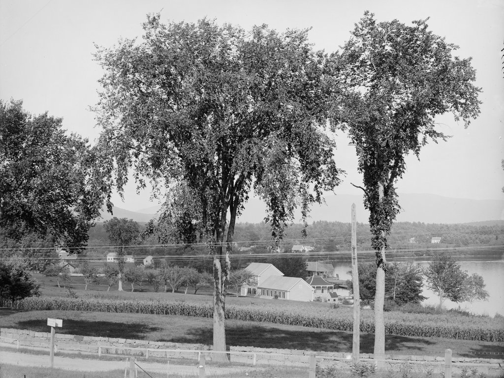
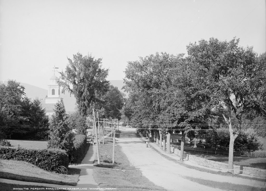
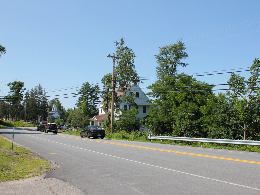
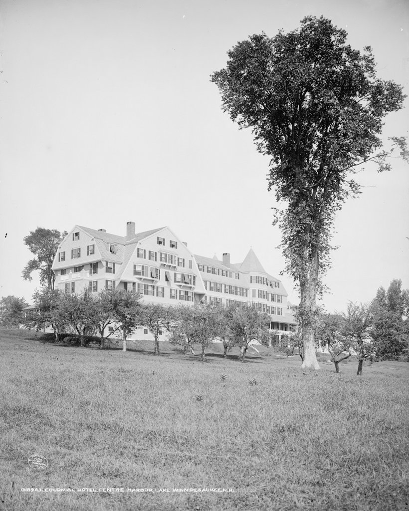
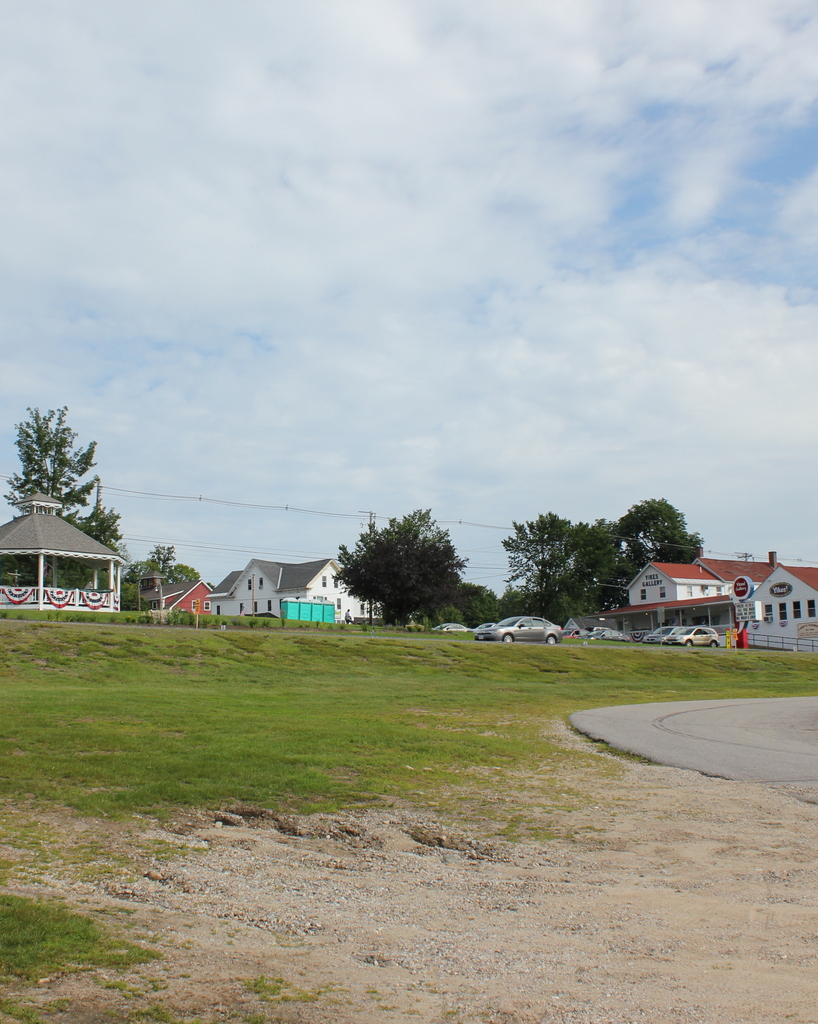
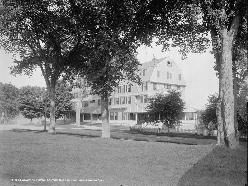
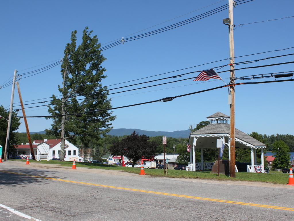
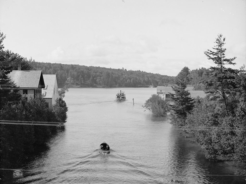
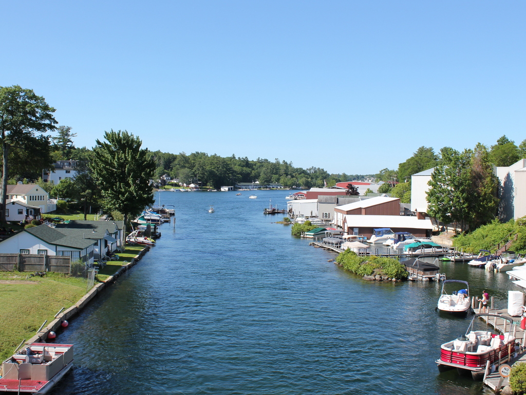
Looking east toward Lake Winnipesaukee from Main Street in Center Harbor, around 1906. Image courtesy of the Library of Congress, Detroit Publishing Company Collection.
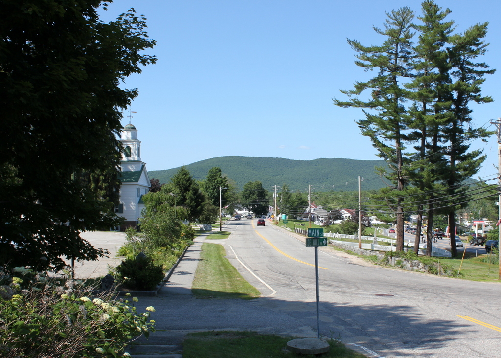
The same view in 2015:
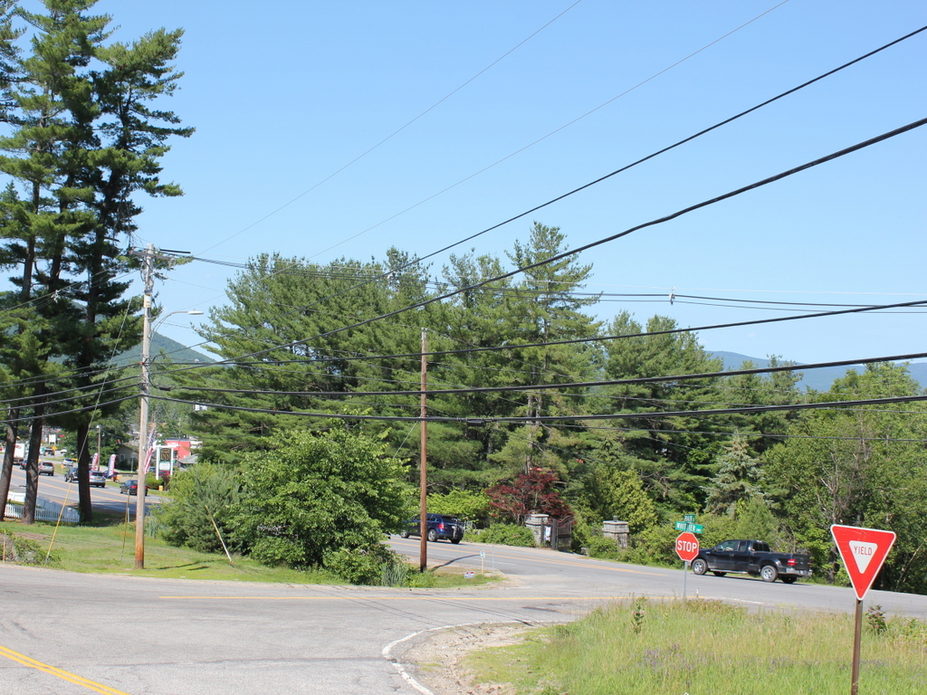
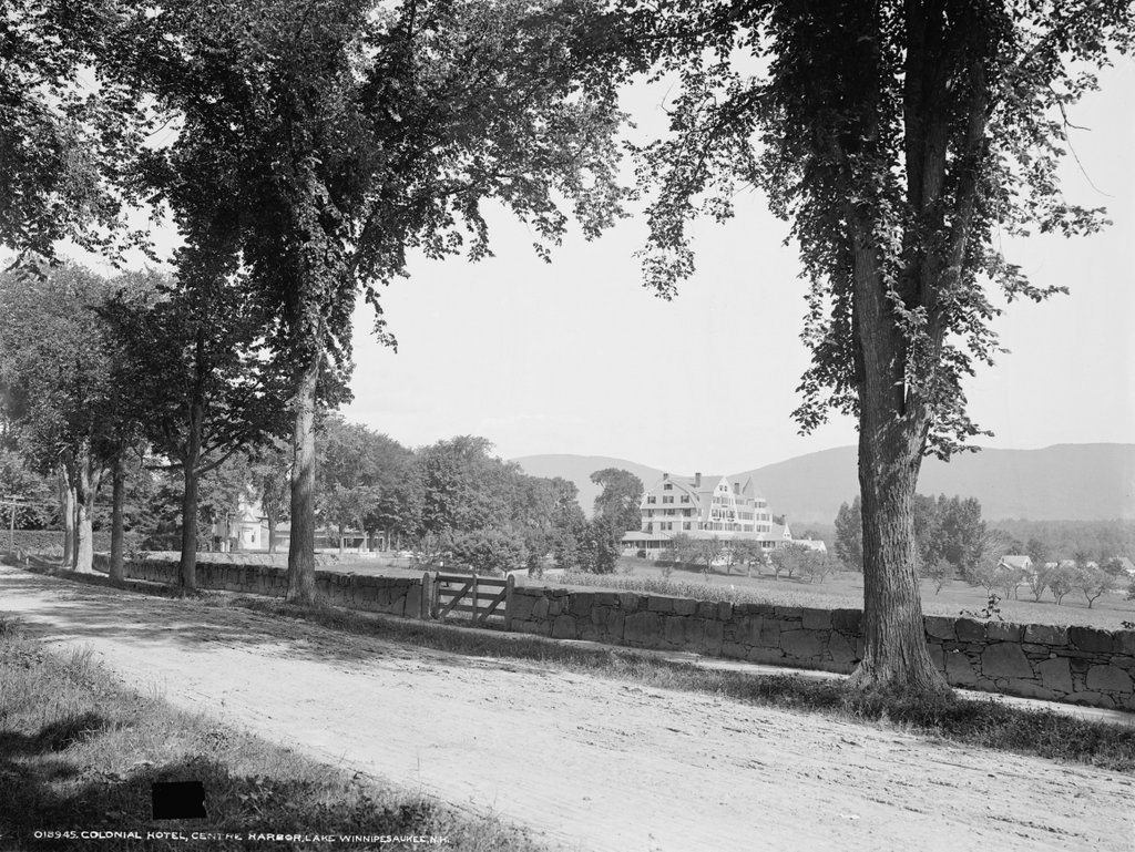
These photos were taken from the same spot as the ones in the previous post, just a little to the right. The original photos were probably intended to form a panoramic view, because the right side of the other photo and the left side of this one fit together seamlessly. Center Harbor has long been a popular vacation spot, and the 1906 photo shows cottages and boathouses along the lake. However, it is also interesting to see corn growing on prime lakefront real estate. Today, this property has been developed, and the Whittier Highway now passes through part of the former cornfield. The stone wall, which can be seen here and also in this post, once ran along the road for a considerable distance to the south. Today, much of it is gone, including the section here, which was removed to build the short cross street that connects the Whittier Highway with Main Street. Further south there are some surviving remnants of the stone wall, although the farmland that it once enclosed has long since disappeared.

