Custom House, Salem, Massachusetts (2)

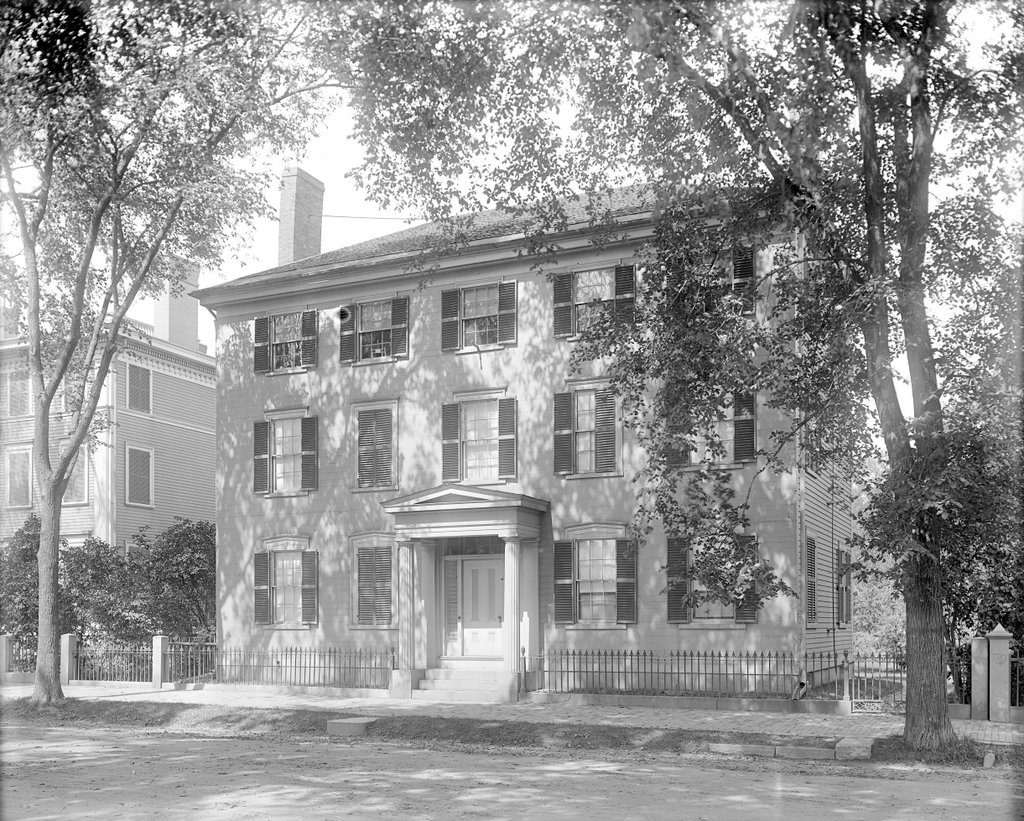
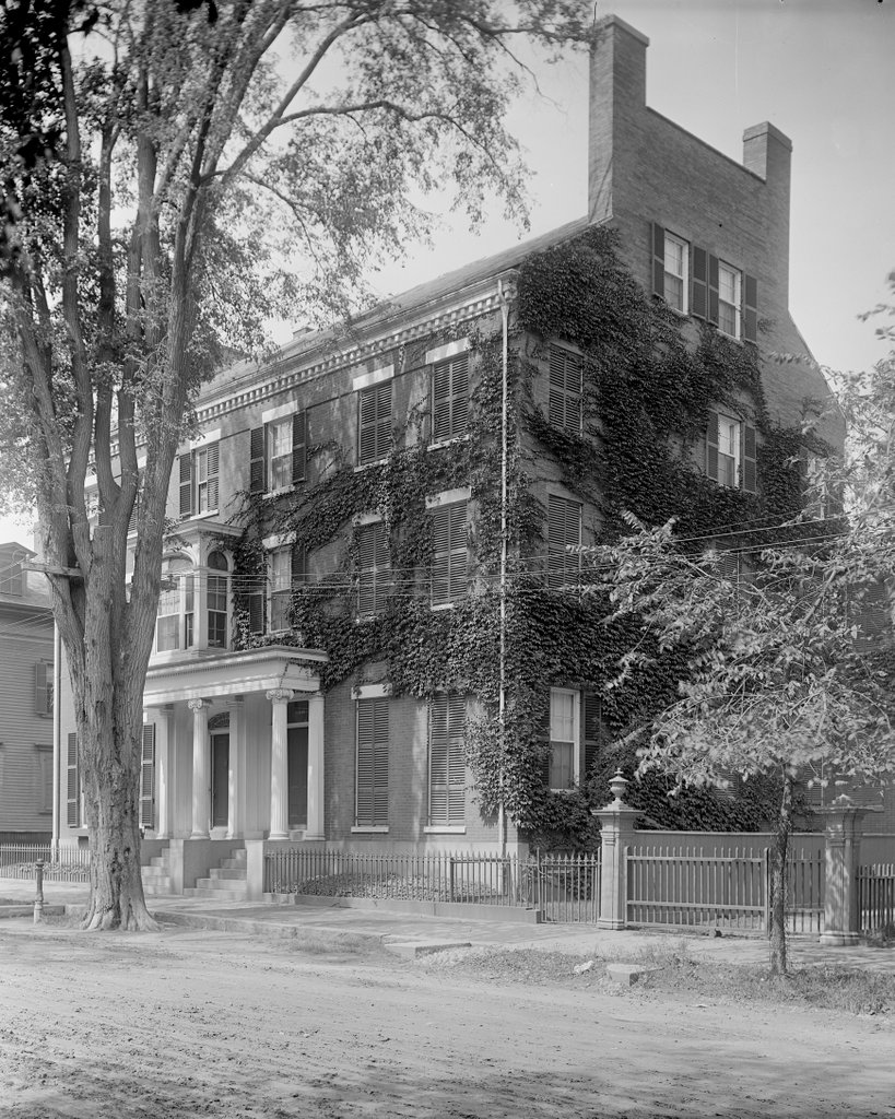
The Custom House in Salem, probably sometime around the 1890s. Image courtesy of the Phillips Library at the Peabody Essex Museum, Frank Cousins Glass Plate Negatives Collection.

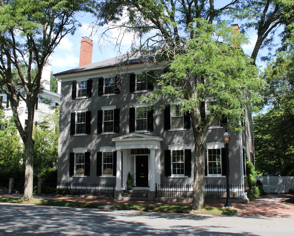
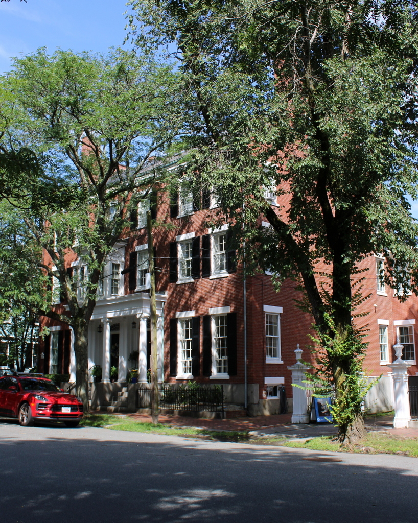
The scene in 2019:

As explained in more detail in an earlier post, the Custom House is an important landmark in Salem, dating back to its heyday as a major seaport. It was built in 1819, and it was located directly across from Derby Wharf, the largest of Salem’s wharves. It was here that customs officials collected import duties on cargoes, which provided the vast majority of revenue for the federal government in the years before direct taxes such as income tax.

Although the Custom House played an important role in the maritime history of Salem, it is probably best remembered for its association with Nathaniel Hawthorne, who worked here from 1846 to 1849 as Surveyor of the Port of Salem. He obtained this appointment through his connections within the Democratic Party, and it provided him with some financial security at a time when he was still trying to establish himself as a writer. However, he did not particularly enjoy the work, and he ultimately lost the job after the Whig Party won the presidency in 1848 and dismissed Democratic officeholders such as Hawthorne.

Embittered by this experience, Hawthorne wrote a lengthy diatribe against Salem in general and the Custom House in particular, and he included it as the preface to his 1850 novel The Scarlet Letter. Although most of the novel is set in 17th century Boston, the Salem Custom House is the place where the fictional 19th century narrator of the story discovers the physical scarlet letter.

By Hawthorne’s time, Salem’s shipping industry was in decline. It had never fully recovered from early 19th century embargoes and the War of 1812, and by the middle of the century most of the international trade in the region had shifted to Boston. The Custom House would remain in use throughout this time, although the number of officials stationed here steadily dwindled.

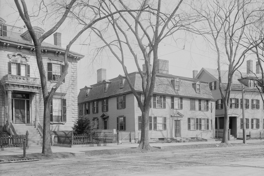
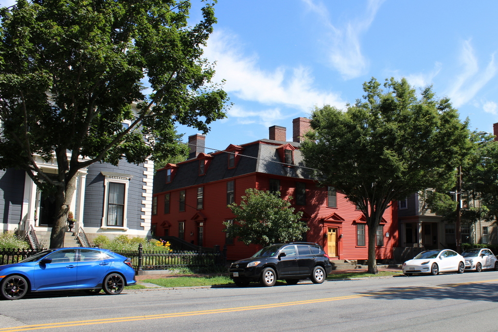
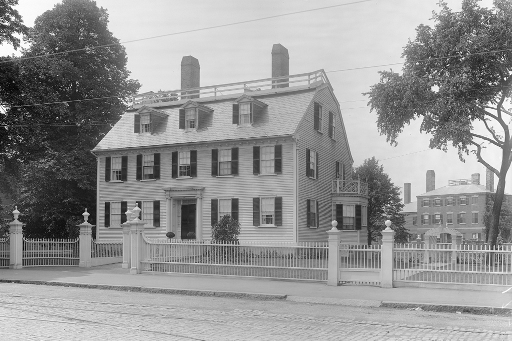
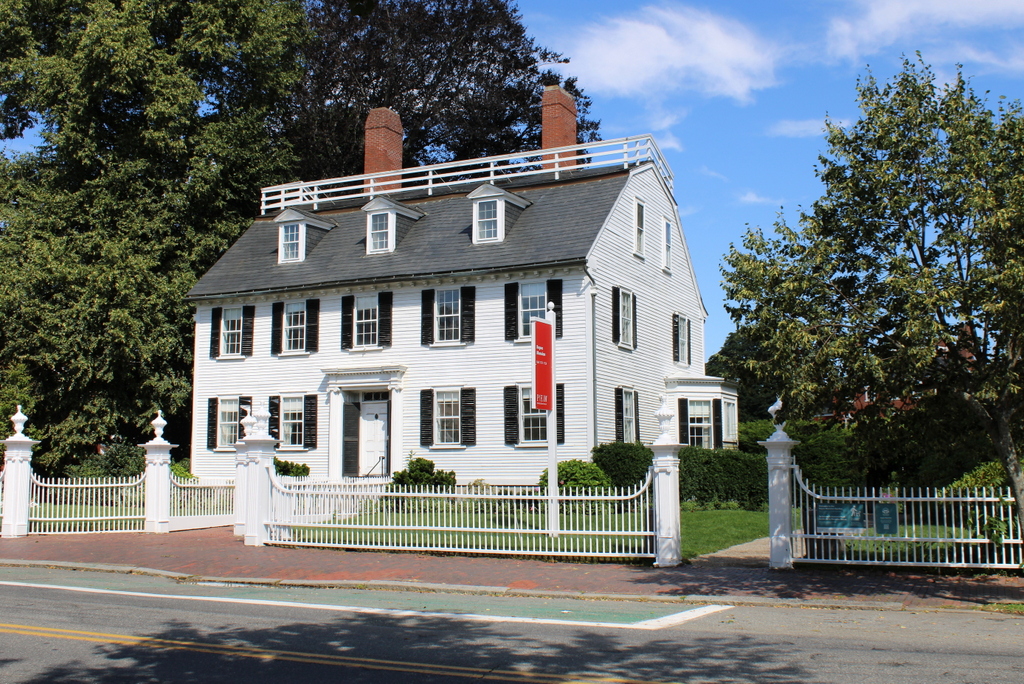
In the long run, one of the positive side effects of Salem’s stagnant economy was that the early 19th century waterfront development remained largely intact. By the time the first photo was taken around the 1890s, this scene had not changed much since before Hawthorne’s time. The Custom House was still here, and beyond it was the Home for Aged Women, which had been built around 1810 as the home of Benjamin Crowninshield. Further in the distance was the Simon Forrester House, which had been built around 1790 at the corner of Derby and Hodges Streets.

Today, more than 120 years after the first photo was taken, this scene has still remained largely unchanged. All three of the buildings are still standing, although the Forrester House is hidden from view from this angle. The Custom House remained in use for its original purpose until 1913, when all of the customs districts in Massachusetts were consolidated into a single district based out of Boston. However, it was still used as offices for the Customs Service until 1936, and it was subsequently transferred to the National Park Service. Two years later, it became the centerpiece of the newly-created Salem Maritime National Historic Site. This was the first National Historic Site in the country, and it is comprised of a number of historic buildings here along the waterfront, including the Custom House.

Eagle Hotel, Concord, New Hampshire

The Eagle Hotel on North Main Street in Concord, around 1907. Image courtesy of the Library of Congress, Detroit Publishing Company Collection.

The scene in 2022:

The Eagle Hotel, shown here in these two photos, is part of a well-preserved group of historic buildings that line the east side of North Main Street, directly across from the New Hampshire State House. This had previously been the site of the Eagle Coffee House, which opened in 1827. However, that building was destroyed by a fire in 1851, and it was subsequently replaced by the present-day building. It has undergone several major renovations since then, but it still stands as an important landmark in downtown Concord.

The new hotel was completed in November 1852, and it was featured in a November 10, 1852 article in the New Hampshire Patriot and State Gazette. The article included the following description:

The main edifice occupies 115 feet front by 40 in width, four stories high. The roof is nearly flat, and tinned. The front of the lower story is of handsomely dressed Rattle Snake granite. The superstructure is of elegant pressed brick. It is ornamented with a handsome façade, embracing two piazzas, each forty feet in length, over the main entrance to the hotel. The windows are covered with green Venetian blinds. On the first story of the main building are the office of the hotel, with two spacious stores on either side. There is also an ell of brick, with tinned roof, in the rear of the main building, in which are the kitchen, gentlemen’s ordinary, and two stories containing sleeping chambers. The whole building contains about 100 rooms.

In the front of the second story of the main building are a pair of public parlors to be used for gentlemen, a large saloon, 40 by 30 feet, and another pair of parlors for ladies. The floors of the former are covered with elegant Brussels carpeting, and the latter with tapestry carpeting. The furniture is of the most elegant description. The windows are handsomely curtained, and the rooms filled with sofas, lounges and chairs, of every variety of shape, covered with brocades and velvets, mirrors, &c. The ladies’ parlors contain two new and superior pianos, one of Boston and the other of New York manufacture. The suits of parlors are connected by folding doors. The main entries run lengthwise of the building, and separate these parlors from the sleeping chambers in the rear, and a ladies’ ordinary on the same floor in which tables may be laid for 70 persons. The latter is so arranged that, by means of folding doors, it may be converted into two or three spacious parlors with bed-chambers adjoining.

The third and fourth stories are conveniently divided into parlors and sleeping rooms.—Some of the former are arranged with one or two bed-rooms adjoining, for the use of families.

In the first story, as we have already remarked, is the Office of the Hotel. The main entrance to it is from Main street; and one door north there is a private entrance for ladies to the parlors and rooms above. The Office is about 40 feet square. From this room, flights of winding stairs communicate with the stories above, leaving an oval space through which light is admitted from a sky-light of stained glass in the roof. The Reading-room is in the rear of these stairs, on the same floor and connected with the Office by arches. Both rooms, including the entries above, are warmed by a large furnace in the basement. Adjoining the Office, is a barber’s shop and wash-room, furnished with warm and cold water from a cistern below. These rooms, as well as all the dining-halls, parlors, entries, kitchen, &c. are to be lighted with gas as soon as the new gas works go into operation. In the Office, there are 70 bells connecting the various rooms; also speaking tubes connecting with the entries above, kitchen, &c.

The large kitchen in the basement of the ell is the great curiosity of the establishment. It is about forty feet square, and fitted up with a superior cooking-range, furnaces, ovens, sinks and other apparatus of the most modern improvements for promoting culinary operations. Adjacent to the kitchen, is the meat-room, pastry-room, a baking-room containing an extensive oven of the latest improvement, a wash-room with furnace, boilers and patent drying-rack, the ironing room, shed, &c.

The gentlemen’s ordinary is in the ell, immediately over the kitchen, and on the same floor with the Office. It has an entrance from the latter, and also by a wide stair-case from the parlors on the second floor. It is a spacious hall, 70 feet by 40, handsomely finished and will be lighted by three chandeliers. In it tables may be laid for about 180 persons. It is to be warmed by a large furnace below. The sleeping rooms are large and airy. The whole building is ventilated from the roof, and each of the rooms have an opening, which may be closed at pleasure, over the doors. The windows, also, throughout the house, are made to open at both top and bottom. There is a large water cistern in the attic by which water is to be supplied to all the rooms below.

The opening of the hotel came at an auspicious time in Concord’s history. Early in November 1852, Concord resident Franklin Pierce had been elected president, and he subsequently moved into a suite here in the Eagle Hotel prior to his inauguration. It was during this time that the Pierce family suffered a tragedy that would set the tone for a very difficult presidency. On January 6, 1853, Franklin Pierce, his wife Jane, and their only surviving child Benjamin were returning to Concord from Andover, Massachusetts, when their train derailed. Franklin and Jane escaped serious injury, but 11-year-old Benjamin’s skull was crushed in the accident, with the president-elect being the one to discover his son’s lifeless body in the wreckage. Pierce continued to live here in the Eagle Hotel until his departure for Washington ahead of his March 4, 1853, although Jane did not accompany him to the inauguration. Both would suffer severe depression from the tragedy, and it likely contributed to Pierce’s largely ineffective presidency.

Aside from Franklin Pierce, the Eagle Hotel had a number of other prominent visitors during its heyday. Because of its central location in the city and proximity to the state house, it played an important role in the political, social, and economic life of the city. Several other 19th century presidents would visit the hotel, including Rutherford B. Hayes, who stayed here on August 22, 1877 during a trip through New Hampshire, accompanied by his wife Lucy, Vice President William A. Wheeler, and several of his cabinet secretaries. Twelve years later, on August 15, 1889, President Benjamin Harrison would also visit the hotel, where he had lunch during a brief stop in Concord.

In the meantime, the hotel building underwent several changes during the 19th century. It was expanded in 1872, and then in 1890 it underwent another renovation, which included both internal and external improvements. The Eagle Hotel became the first building in the city to have a central heating plant, as well as the first to have an elevator. On the exterior, the most noticeable change was the addition of a fifth story, which replaced the original gable roof. As shown in these two photos, the fifth story has a different window configuration from the lower floors, and there is also a horizontal band of bricks beneath the windows, where the old cornice used to be. The two piazzas, which were mentioned in the 1852 article, were also removed at some point in the 19th century, as were the window shutters that had once been installed on the front façade of the building.

The renovated hotel continued to play an important role in New Hampshire politics throughout the first half of the 20th century. Many state legislators stayed here while the General Court was in session, and they often held meetings here. Among those legislators was Winston Churchill, an American novelist who was, at the time, the best-known Winston Churchill in the world. Aside from his literary career, he was elected to the state legislature in 1903 and 1905, and in 1906 he published Coniston, which became the best-selling American novel of the year. It was a novel about New Hampshire politics, and it included a number of fictional places that were obvious stand-ins for real locations. These included the Pelican Hotel, which represented the Eagle Hotel. It was there that the fictional political boss Jethro Bass ruled the state from his “Throne Room” in the hotel.

Also in 1906, Churchill sought the Republican nomination for governor as an underdog candidate. Ahead of the party convention, he booked rooms here at the Eagle Hotel to use as his campaign headquarters. He ended up performing surprisingly well at the convention for an inexperienced politician, but narrowly lost the party nomination. Churchill would try again in 1912, this time as the Progressive Party candidate, but he finished third in the general election. He subsequently retired from politics, and later gave up on writing novels. And, as it turned out, his fame would be dramatically eclipsed by a different Winston Churchill on the other side of the Atlantic, who was also a politician and writer.

Even into the 1950s, the Eagle Hotel would continue to be a focal point for New Hampshire politics. Richard Nixon—who was vice president at the time—made at least two visits to the hotel. The first was on September 29, 1954, when he came to Concord to participate in the Republican state convention in advance of the midterm elections. He returned here five years later, on October 3, 1959, when he was in the midst of his own presidential campaign ahead of the 1960 election. He attended a reception here at the Eagle Hotel, and he earned the endorsements of both of the state’s U.S. senators. By the time New Hampshire’s primary election kicked off the election season five months later, Nixon was essentially unopposed and carried nearly 90% of the state’s vote, although he would ultimately lose the general election to John F. Kennedy.

Nixon’s political career would rise and fall a few more times in the coming years, but his visit to Concord proved to be the last hurrah for the Eagle Hotel. By this point automobile travel had made it easier for legislators to commute to Concord during legislative sessions, so there was less demand for long-term lodging here at the Eagle. The hotel also fell out of favor among the general public, which was a common trend for historic downtown hotels throughout the region. With interstate highways and other road improvements, it was now easier for travelers to bypass busy city centers. And, when they did need a place to stay, they tended to prefer convenient modern motels, which were right off the highway and had ample parking, rather than aging hotels in crowded downtown locations.

The Eagle Hotel closed in February 1961, and it was subsequently converted into a nursing home. However, it did not have much success either, and it closed in 1976. This was a time when many cities were demolishing their old downtown hotels and other historic landmarks as part of urban renewal projects, but the Eagle Hotel managed to avoid such a fate. Instead it was preserved, and today its exterior does not look significantly different from its appearance in the first photo, aside from alterations to the ground floor. The building was added to the National Register of Historic Places in 1978, and it is also a contributing property in the Downtown Concord Historic District, which was added to the National Register in 2000.

Great Gulf, Mount Washington, New Hampshire

The Great Gulf, seen from just north of the summit of Mount Washington, around 1900. Image courtesy of the Library of Congress, Detroit Publishing Company Collection.

The scene in 2021:

These two photos show the view looking north from Mount Washington, with the Great Gulf in the foreground and the summits of the northern Presidential Range beyond it. Mount Washington is the highest peak in New England and the northeastern United States, and it stands at the center of the Presidential Range, a north-south oriented range that contains many other high peaks. The five highest peaks are named after the first five presidents, mostly in descending order of elevation, and each one is higher than any other mountain in the northeast outside of the Presidential Range.

Mount Washington, the highest, is 6,288 feet above sea level. It is followed by Mount Adams (5,774 feet), which is seen on the right side of this scene; Mount Jefferson (5,712 feet) on the left side of the scene; Mount Monroe (5,384 feet) out of view on the opposite side of Mount Washington; and Mount Madison (5,367 feet) on the extreme right-hand side of this scene.

Just out of view in the foreground on the right side is a portion of Mount Washington, which extends to the northeast away from the summit area. That slope of Mount Washington, along with the northern Presidentials in the distance, form the walls of the Great Gulf, a large glacial cirque. There are a number of different cirques around Mount Washington that were formed by glacial activity, including Tuckerman Ravine, Huntington Ravine, and Ammonoosuc Ravine. However, the Great Gulf is by far the largest of these, extended more than two miles in length and over a mile in width.

The first recorded description of the Great Gulf comes from Darby Field in 1642. Although this was still very early in the history of European colonization in New England, and several centuries before recreational hiking became popular in the region, Darby Field and his two Native American guides became the first known people to have climbed Mount Washington. This achievement was considered remarkable enough that John Winthrop, governor of the Massachusetts Bay Colony, provided a lengthy account of Field’s expedition in his journal. Regarding the final ascent to the summit, Winthrop wrote:

They went divers times through the thick clouds for a good space, and within 4 miles of the top, they had no clouds but very cold. By the way among the rocks, there were two ponds, one a blackish water, and the other reddish. The top of all was plain about 60 feet square. On the north side was such a precipice, as they could scarcely discern to the bottom. They had neither cloud nor wind on the top, and moderate heat. All the country about him seemed a level, except here and there a hill rising above the rest, and far beneath them. He saw to the north, a great water which he judged to be 100 miles broad, but could see no land beyond it.

Although Winthrop’s description was secondhand information at best, the account seems reliable, since it contains information that Field would only have known if he had actually reached the summit. The “two ponds” are likely the Lakes of the Clouds, located along the ridgeline between the summits of Mount Washington and Mount Monroe, and the description of the “plain” at the summit likewise corresponds to reality. And, his description of the Great Gulf also helps to verify the account, since Field would have only known about “such a precipice, as they could scarcely discern to the bottom” if he and his guides had actually stood here at the edge of the Great Gulf headwall.

Aside from Field’s journey, there were very few recorded ascents of Mount Washington during the colonial period. However, this began to change by the early 19th century, as New Englanders began to travel to the White Mountains to experience the scenery here. By 1819 there was a footpath from Crawford Notch to the summit, and this was later followed by a carriage road in 1861 and a cog railway in 1868. The summit area became a seasonal community, with several hotels and even its own newspaper.

However, despite the extensive development on Mount Washington, the other summits on the Presidential Range remained largely untouched, as did the Great Gulf. Visitors were generally happy to admire these scenes from afar, and there were few landscapes that could compete with this view here in these photos. Writing in his 1856 book Incidents in White Mountain History, Benjamin G. Willey provided the following description of this scene:

[G]oing a few rods northward, you come to the brink of an almost unfathomable abyss, known as the Great Gulf. It is a rocky, precipitous descent of two thousand feet. Rising up opposite you from the bottom of this Gulf, almost perpendicularly, is the great range of mountains, comprising Clay, Jefferson, Adams and Madison. This vast range may be seen from their roots to their summits by one standing on the brink. Deep down in the very bottom of the hollow are rough, confused piles of rocks, with narrow and deeply-worn ravines between them. Springing up occasionally, near the very base of the mountain range, are tall spruces, while further up on their sides are birches and small firbushes. Toward the east, the Gulf has an opening, surrounded on all its other sides by mountains.

A few years later, in his 1860 book The White Hills: Their Legends, Landscape, and Poetry, described the scene in even more rapturous language, from an overlook on the nearby carriage road. He wrote:

Yet the glory of the view is, after all, the four highest companion mountains of the range. Clay, Jefferson, Adams, Madison, that show themselves in a bending line beyond the tremendous gorge at the right of the path, absurdly called the ” Gulf of Mexico,” and are visible from their roots to their summits. . . . Except by climbing to the ridge through the unbroken wilderness of the northern side, there is no such view to be had east of the Mississippi of mountain architecture and sublimity. They do not seem to be rocky institutions. Their lines have so much life that they appear to have just leaped from the deeps beneath the soil. We say to ourselves, these peaks are nature’s struggle against petrifaction, the earth’s cry for air.

This scene certainly captivated visitors, but few were adventurous enough to actually descend into this “unfathomable abyss.” Because of its remoteness, the upper reaches of the Gulf escaped large-scale logging, and even the trail builders of the late 1800s tended to avoid the area. A single hiking trail was built through the Gulf as far as Spalding Lake in the lower foreground of these photos, but it did not ascend the headwall of the mountains. Nor did it apparently see much use, because it did not see much subsequent maintenance.

The Great Gulf was still an essentially trailless wilderness when the first photo was taken around 1900, but this would soon change. From 1908 to 1910, Warren W. Hart oversaw the construction of a series of trails in the area, starting with the Great Gulf Trail, which traversed the Gulf, climbed the headwall, and ended near the spot where these two photos were taken. Another trail, named the Six Husbands Trail, was opened to the summit of Mount Jefferson by way of the steep slopes in the right-center of the scene. Two other trails—Adams Slide and the Buttress Trail—climbed Mount Adams, and the Wamsutta and Chandler Brook Trails climbed the northeastern slopes of Mount Washington from the Great Gulf.

At the time, the Great Gulf was still in private hands, but in 1916 it was purchased by the U.S. Forest Service. It subsequently became part of the White Mountain National Forest, and in 1964 it was designated as the Great Gulf Wilderness, which conferred greater protections on the land than other portions of the national forest. As a result, this view from atop the headwall looks essentially the same as it did over 120 years earlier, and in all likelihood it also looks the same as it did over 380 years ago, when Darby Field first described the “precipice” where he could “scarcely discern the bottom.”

Boston Light

Boston Light on Little Brewster Island in Boston Harbor, around 1906. Image courtesy of the Library of Congress, Detroit Publishing Company Collection.

The scene in 2021:

These two photos were not taken from the exact same angle; the first one was probably taken from a boat near the island, while the second one was taken with a telephoto lens from about two miles away on Georges Island. But, they both show essentially the same view of Little Brewster Island, the site of the first lighthouse in the present-day United States and the second-oldest existing lighthouse in the country.

During the colonial era, Boston was one of the most important seaports in British North America. Boston benefited from a large natural harbor, protected from the open ocean by a number of islands and peninsulas, but these same landforms also posed hazards to ships entering and leaving the harbor. So, to protect ships and the lives of their sailors, the first lighthouse in the British colonies was constructed here on Little Brewster Island, a small outcropping near the outer edge of the harbor. It was about 60 feet tall, built of rubble masonry, and it was lit for the first time on September 14, 1716.

The occasion was noted in The Boston News-Letter three days later, with the paper describing:

Boston, By vertue of An Act of Assembly made in the First Year of His Majesty’s Reign, For Building & Maintaining a Light House upon the Great Brewster [sic] (called Beacon Island) at the Entrance of the Harbour of Boston, in order to prevent the loss of the Lives & Estates of His Majesty’s Subjects; The said Light House has been built; And on Fryday last the 14th Currant the Light was kindled, which will be very useful for all Vessels going out and coming in to the Harbour of Boston, or any other Harbours in the Massachusets-Bay, for which all Masters shall pay to the Receiver of Impost, One Peny per Ton Inwards, and another Peny Outwards, except Coasters, who are to pay Two Shillings each, at their clearing Out. And all Fishing Vessels, Wood Sloops, etc. Five Shillings each by the year.

The first lighthouse keeper was George Worthylake, but he would soon become the first American lighthouse keeper to die in the line of duty. On November 3, 1718, he was returning to the lighthouse accompanied by his wife Ann and their daughter Ruth, along with an enslaved man, a servant, and a friend of the family. They took a sloop back to the vicinity of island, then boarded a canoe to make their landing. However, the canoe capsized, and all six people drowned.

Here again, The Boston News-Letter reported the tragedy:

Boston, On Monday last the 3d Currant an awful and Lamentable Providence fell out here, Mr. George Worthylake (Master of the Light-House upon the Great Brewster (called Beacon-Island) at the Entrance of the Harbour of Boston) Anne his Wife, Ruth their Daughter, George Cutler, a Servant, Shadwell their Negro Slave, and Mr. John Edge a Passenger; being on the Lord’s Day here at Sermon, and going home in a Sloop, drop Anchor near the Landing place and all got into a little Boat or Cannoo, designing to go on Shoar, but by Accident it overwhelmed, so that they were Drowned, and all found and Interred except George Cutler.

Although the article does not mention the specific burial place, George, Ann, and Ruth were all buried in Copp’s Hill Burying Ground, beneath a triple headstone that still survives today.

Aside from this article in the News-Letter, other writers covered the event. Perhaps most famously, 12-year-old Benjamin Franklin wrote a ballad, which he titled “The Lighthouse Tragedy.” No copies of the poem are known to survive, but in his autobiography Franklin referenced this and another similar poem that he wrote about Blackbeard, observing that:

They were wretched stuff, in the Grub-street-ballad style; and when they were printed he sent me about the town to sell them. The first [the lighthouse poem] sold wonderfully, the event being recent, having made a great noise. This flattered my vanity; but my father discouraged me by ridiculing my performances, and telling me verse-makers were generally beggars. So I escaped being a poet, most probably a very bad one.

In the meantime, the lighthouse continued in operation under a new keeper, and in 1719 a cannon was installed on the island for use as a fog signal. The tower was badly damaged by a fire in 1751, but it was subsequently repaired and remained in use until the start of the American Revolution. It was ultimately destroyed by the British on July 13, 1776, following their evacuation of Boston several months earlier.

Little Brewster Island remained devoid of a lighthouse for the rest of the American Revolution, but as the war was winding down in 1783 the Massachusetts legislature authorized the funding to construct a new lighthouse here. It was completed by the end of the year, and like its predecessor it was built of rubble masonry. However, it was somewhat taller, standing 75 feet in height. This tower, with some alterations over the years, is still standing today, as shown in the two photos in this post.

The lighthouse was completed prior to the current U.S. Constitution. At the time, the national government had very limited powers, so matters such as lighthouses were the responsibility of the individual states. Under the new Constitution, though, this became a part of the role of the federal government, which took over the operation of Boston Light in 1790.

Over the years, the exterior appearance of the lighthouse changed several times. In 1809, in response to large cracks in the walls, six iron bands were installed around the tower in order to provide additional structural support. Then, in 1859 the height of the tower was increased to 89 feet, and a new second-order Fresnel lens was installed in the lantern. Also during this time, the interior of the tower was lined with brick, and a brick entryway was added to the base of the tower.

By the time the first photo was taken around 1906, the lighthouse was joined by a number of other buildings on the island. Among these were two houses for the lighthouse keepers, along with ancillary structures such as the fog signal, cistern, oil house, and boathouse. The boathouse was situated next to a pier, and it was equipped with a marine railway. At the time, the light station was staffed by a head keeper and two assistant keepers, and they often lived here with their families as well.

Although still in active use as a lighthouse, the importance of Boston Light had diminished somewhat by the time this photo was taken. Around the turn of the 20th century, most large vessels began taking a more northerly channel into Boston Harbor, bypassing the old lighthouse. To accommodate this traffic, a new lighthouse was constructed in 1905 at the Graves, a rocky ledge about three miles to the northeast of Boston Light. This new lighthouse was taller than Boston Light, and it was also equipped with a larger first-order Fresnel lens.

Despite these changes in shipping routes, Boston Light remained an important lighthouse. There were some changes here in 1939, when the U.S. Lighthouse Service was absorbed by the Coast Guard, and there were further changes during World War II, when the light was extinguished for security purposes, although it was relit after the war. Then, in the postwar era, the role of lighthouse keepers started to become redundant, and lighthouses across the country were steadily automated, which eliminated the need for light stations that were staffed full time. However, just as Boston Light was the first lighthouse in the country, it was also the last one to be automated, in 1998.

Today, this scene is still easily recognizable from the first photo more than 115 years later. The large duplex keeper’s house is gone, having been deliberately burned in 1960, and the pier was destroyed during the blizzard of 1978.  Overall, though,  most of the other buildings are still here, including the 1884 keeper’s house, the 1899 boathouse, the 1889 oil house, and the 1876 fog signal building, which now also houses a generator. And, of course, the lighthouse is still here, with few exterior changes aside from the removal of one of the metal bands, leaving only five in its current appearance. It is the second oldest active lighthouse structure in the country, predated only by the 1764 Sandy Hook Light in New Jersey.

Despite being automated in 1998, Boston Light is still staffed by a resident keeper, although this is largely a ceremonial role. Along with most of the other harbor islands, Little Brewster Island is now part of the Boston Harbor Islands National Recreation Area. Unlike some of the larger islands, there is no ferry service or public access to Little Brewster, although the lighthouse can be seen from passing boats, from the mainland in Hull, or from Georges Island, as shown in the present-day photo.

Burnside Bridge, Sharpsburg, Maryland (2)

The view of the north side of the Burnside Bridge, from the west bank of Antietam Creek, in September 1862. Photographed by Alexander Gardner. Image courtesy of the Library of Congress, Civil War Glass Negatives and Related Prints collection.

The scene in 2021:

As explained in more detail in the previous post, the Burnside Bridge—or lower bridge, as it had previously been known—was the focal point of the later phase of the Battle of Antietam on September 17, 1862. Ahead of the battle, the Confederates under Robert E. Lee had taken a defensive position near the town of Sharpsburg, with a line of soldiers that extended north to south. The southern end of his line was anchored on the heights just to the west of this bridge, and this led to intense fighting for control over the bridge.

Opposing the Confederates in the vicinity of the bridge was General Ambrose Burnside, whose IX Corps was positioned to the east of here, in the distance on the left side of this scene. However, because of poor coordination on the part of the Union commander, General George B. McClellan, Burnside received no orders until around 10:00 a.m., long after the fighting had begun on the northern part of the battlefield.

Despite the bridge being defended by only 500 Confederate soldiers, it took Burnside’s 4,000-man corps several hours to take the bridge, suffering about 500 casualties in the process. The Union forces finally took the bridge around 1:00 p.m., but Burnside delayed in moving his men, and they did not all cross until around 3:00 p.m. This gave the Confederates time to gather reinforcements, and rather than striking a decisive blow at the Confederate line, Burnside’s soldiers were faced with fresh Confederate soldiers commanded by A. P. Hill. The final portion of the battle occurred on the heights to the west of the bridge, to the right of where these photos were taken, and it was largely inconclusive, with Burnside’s soldiers managing to hold the bridge but unable to gain much ground.

The bridge came to be known as Burnside Bridge in his honor, although his actions here did face criticism. Some criticized his delays in moving his corps over the bridge, while others questioned whether the Union could have simply waded across the shallow creek, rather than making a costly and time-consuming effort to seize the bridge. Nonetheless, he was subsequently promoted to command of the Army of the Potomac in November, but he was ultimately dismissed after the disastrous Battle of Fredericksburg, which likewise involved a time-consuming crossing of a waterway.

The first photo was taken only days after the battle, by prominent Civil War photographer Alexander Gardner. Today, not much has changed here in this scene. The bridge is still standing, as is one of the trees from the first photo. Barely noticeable on the far left side of the first photo is a small sycamore tree, which now towers over the bridge in the present-day scene. It is the most famous “witness tree” at Antietam, and both the tree and the bridge itself are major landmarks here at the Antietam National Battlefield.

Burnside Bridge, Sharpsburg, Maryland

The view looking west toward the Burnside Bridge over Antietam Creek in Sharpsburg, Maryland, in September 1862. Photographed by Alexander Gardner. Image courtesy of the Library of Congress, Civil War Glass Negatives and Related Prints collection.

The scene in 2021:

The previous posts have featured some of the most distinctive landmarks on the Antietam battlefield, including the Dunker Church and the Bloody Lane. However, probably the single most iconic landmark at Antietam is this stone arch bridge, which came to be known as Burnside Bridge after the battle. In addition to photographs such as the first one here, the bridge has also featured prominently in numerous paintings of the battle, and even on the reverse of a commemorative coin issues by the U.S. Mint in 1937.

This bridge had been built in 1836 to connect Sharpsburg and the nearby town of Rohrersville. Prior to the battle it was generally known as the Lower Bridge, and it crossed Antietam Creek about a mile to the southeast of the center of Sharpsburg. It was constructed of local limestone, with three arches that spanned the creek.

This previously obscure rural bridge became famous for the events of September 17, 1862, when the Confederate Army of Northern Virginia under Robert E. Lee clashed with the Union Army of the Potomac under George B. McClellan. It was part of Lee’s first large-scale offensive campaign, when he invaded western Maryland as part of an effort to weaken northern morale. Upon reaching Sharpsburg, he set up a defensive position line near the town, and his right flank was positioned here in the vicinity of the Lower Bridge, on the high ground on the opposite side of the bridge in these photos.

Despite having a significantly larger army than Lee, McClellan believed that the opposite was true, and he exercised extreme caution in his attack. He did little to coordinate the movements of his different corps commanders, so it resulted in a piecemeal assault that negated the Union’s significant strength in numbers. The fighting began early in the morning, with an attack on the Confederate left flank near the Dunker Church. After this stalled, the battle shifted to a sunken road that became known as the Bloody Lane. There, after hours of fighting, the Union finally dislodged the Confederates from their makeshift trench, but the heavy losses had made the perpetually risk-averse McClellan unwilling to take the initiative and make an aggressive pursuit.

In the meantime, the southernmost part of the Union line was the IX Corps, under the command of General Ambrose Burnside. He was positioned a little to the east of the Lower Bridge, across the river from the right flank of the Confederates. This portion of the Confederate army was potentially vulnerable, with so many men fighting further north against the attacks on the left flank. However, Burnside did not receive orders from McClellan until around 10:00 a.m. Burnside then used a portion of his corps to find a river crossing downstream to outflank the Confederates, while also making several ineffective charges at the bridge itself.

Despite having a significant numerical advantage, with over 4,000 Union soldiers compared to just 500 Confederate defenders, the Confederates held off Burnside’s corps throughout the morning and into the early afternoon. In the process, the Confederates suffered about 120 casualties, while also inflicting about 500 Union casualties before Burnside finally took the bridge around 1:00 p.m. But, it would take another two hours for Burnside to move his men across the bridge and prepare for a final attack on the Confederate line.

The many delays throughout the battle, combined with McClellan’s ineffective coordination of his generals’ movements, prevented what could have otherwise been a decisive blow against Lee’s army. There were also many who questioned Burnside’s decision to waste time trying to take the bridge, rather than simply having his men wade across the relatively shallow creek. Ultimately, these delays meant that Burnside’s attack on the Confederate flank was countered by the arrival of A. P. Hill at 3:30 with fresh Confederate reinforcements. The final portion of the battle was fought between Hill and Burnside on the hill beyond the bridge, eventually drawing to an inconclusive end around 5:30 p.m.

That evening, Lee withdrew his army and made his way back to Virginia. In abandoning his invasion, it made the Battle of Antietam a strategic victory for the Union, although McClellan had missed the opportunity to make it one of the greatest Union triumphs of the war. He also failed to pursue Lee’s fleeing army, and this decision, combined with his ineffectiveness at Antietam, ultimately led President Lincoln to dismiss him as commander of the Army of the Potomac in early November. And, despite the questionable decisions that Ambrose Burnside had made here at this bridge, Lincoln picked him to replace McClellan. Burnside’s time as commander would prove to be short lived, though, because he was in turn dismissed after his own debacle at the Battle of Fredericksburg in December.

The first photo here in this post was taken only days after the battle. The photographer, Alexander Gardner, arrived at the battlefield on September 19, and he spent the next few days documenting the carnage here. He took a number of photographs of the bridge, which had survived the battle relatively unscathed despite being at the epicenter of intense fighting for several hours. In fact, at first glance the photo does not seem to give the immediate impression that a major battle had just been fought there.

However, on closer inspection, the photo offers clues about what happened here. On the bridge itself, many of the wooden boards are missing from the tops of the walls on either side of the walkway. While some of these may have been damaged in the battle, many of them were removed after the battle and repurposed as makeshift grave markers. In the foreground of the first photo, running along the stone wall to the right of the bridge, is a row of temporary graves, each of which is marked by a board from the bridge. These graves had likely been freshly dug shortly before the photo was taken, and many of the graves are topped by large mounds of dirt.

Following the battle, the bridge reverted to its original use, and this continued well into the 20th century and into the age of automobiles. It finally closed to vehicular traffic in 1966, when a bypass was constructed. More recently, the bridge underwent a major restoration after a portion of one of the walls collapsed into the creek. This project involved resetting the stones and repointing the masonry, and the work was completed in the spring of 2017.

Today, the bridge is part of the Antietam National Battlefield, which is run by the National Park Service. It is one of the best-preserved Civil War battlefields, and the quiet riverbanks here at the Burnside Bridge are a must-see for any visitors. The graves from the first photo have since been relocated, but otherwise this scene looks largely the same as in the first photo, aside from additions such as monuments to the regiments who fought here. Among these is a small monument in the foreground to the 51st Pennsylvania Volunteer Infantry, which was one of the units responsible for taking the bridge. However, perhaps the most remarkable feature in the present-day scene is the large sycamore tree that towers over the bridge in the center of the photo. This is the same tree that was growing next to the bridge during the battle, as shown in the first photo, and it stands as the most famous “witness tree” here on the Antietam battlefield.