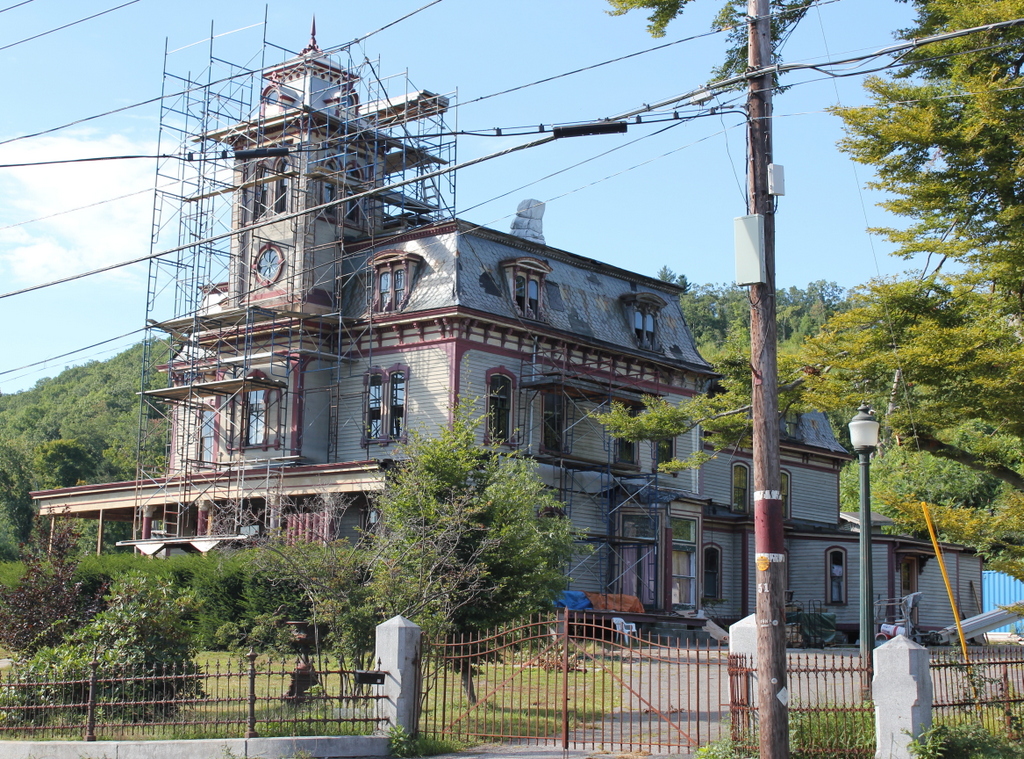
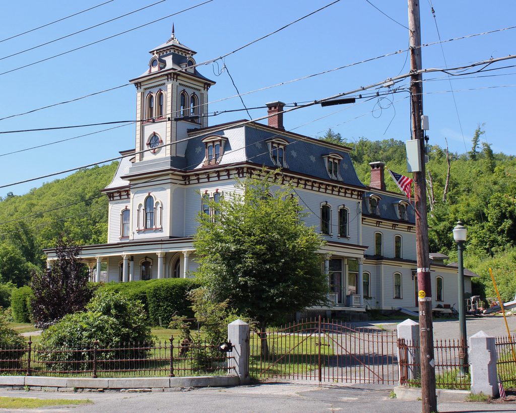
Senior Center, Monson, Mass

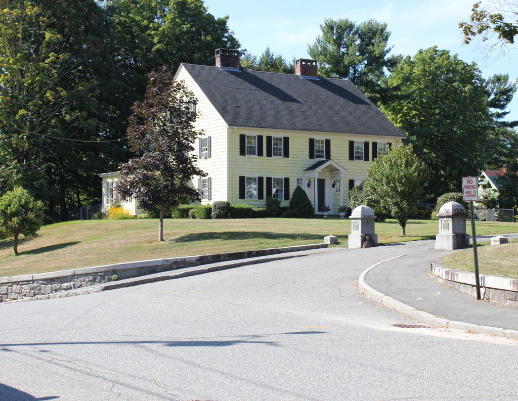
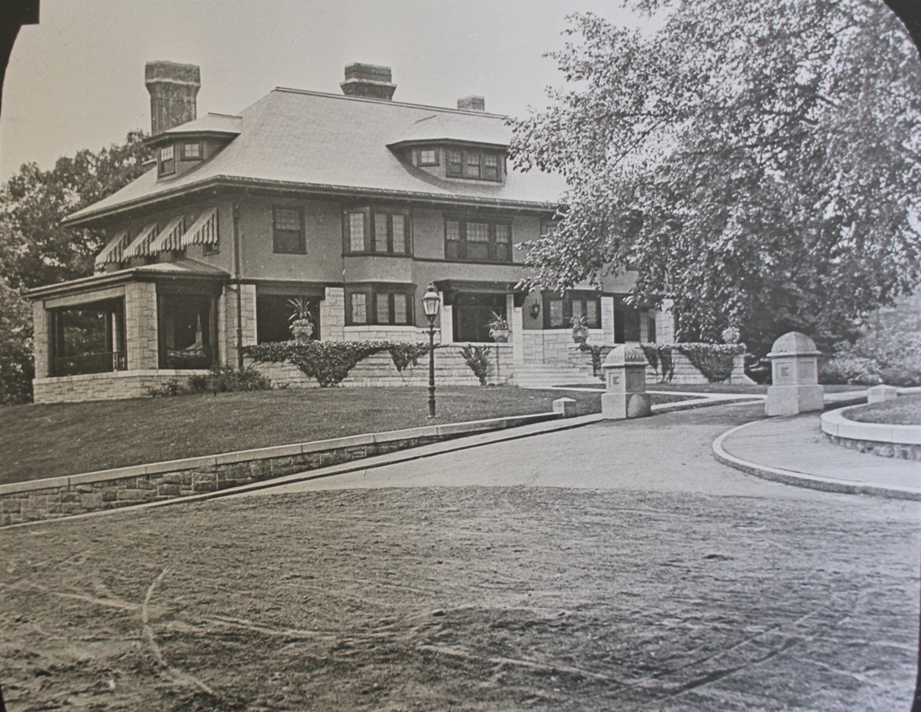
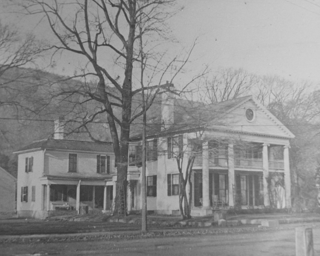
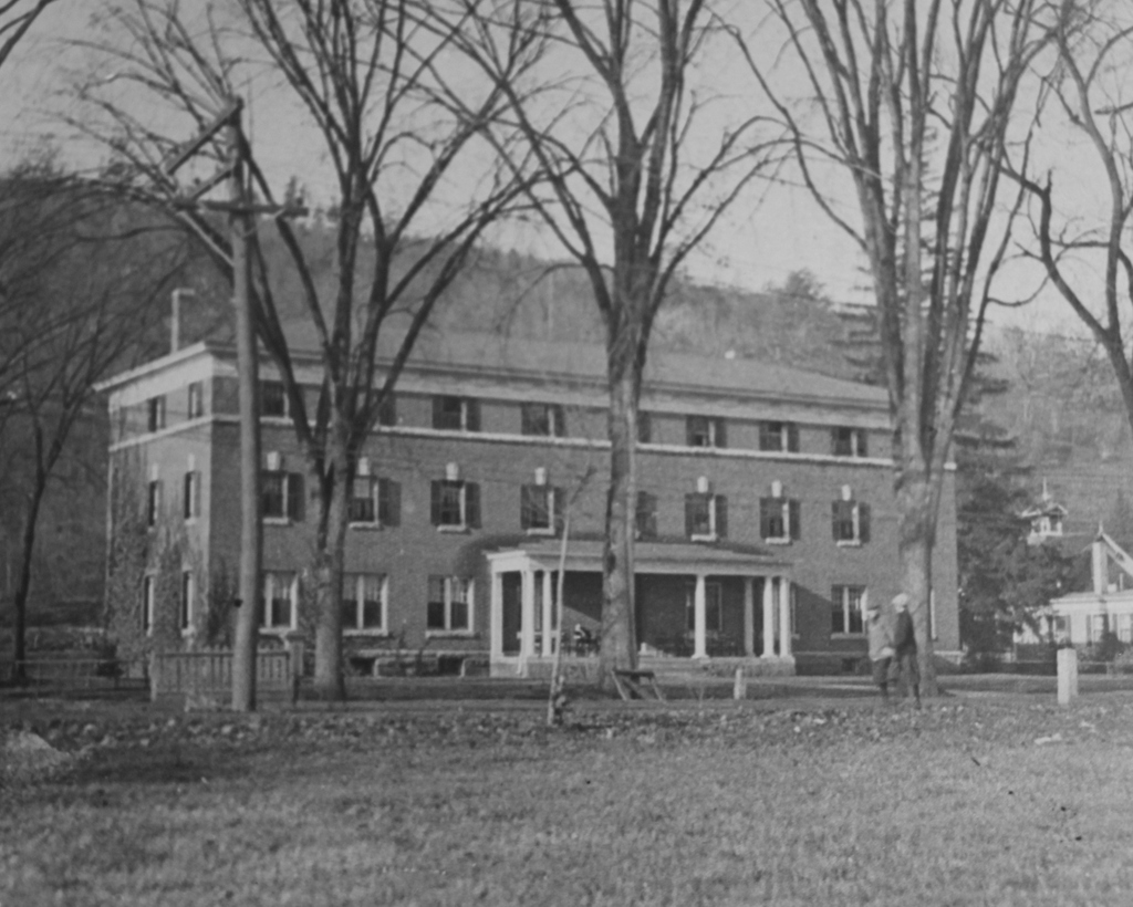
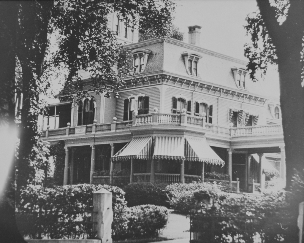
The Edward Cushman House on Main Street in Monson, which later became the Monson Senior Center, probably around 1916-1920. Image courtesy of the Monson Free Library.

752_1890-1920c mfl

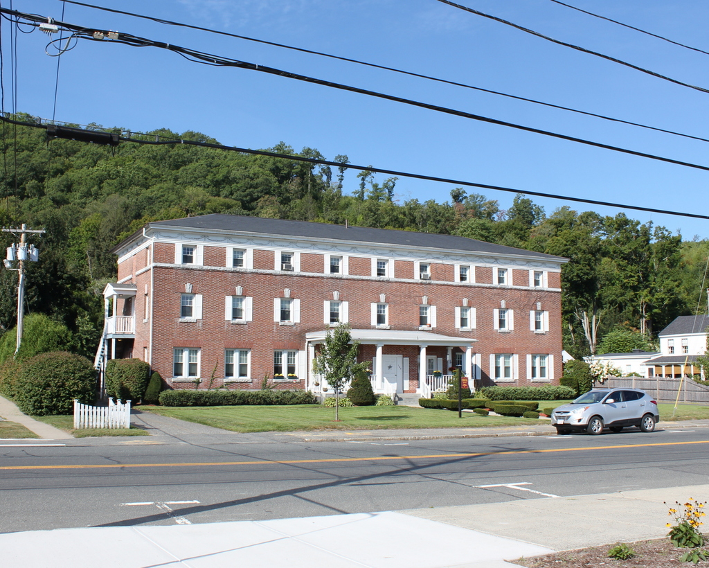
The building in 2015:

752_2015
The present-day Monson Senior Center was built around 1850, and it is one of the many historic Greek Revival homes along this section of Main Street.  It was originally a private residence, with maps in 1857 and 1870 showing it belonging to a Mrs. L. Keep and a Mrs. Flynt, respectively.  Later in the 1800s, it was owned by Edward Cushman, the son of local industrialist Solomon F. Cushman, who owned a woolen mill on Cushman Street.  Edward and his brothers took over control of the company when their father died in 1900, and they ran it together until 1912, when they sold it to a local hat manufacturer, the Heimann and Lichten Company.

Edward Cushman died in 1915, and as part of his will the house became Monson Home for the Aged, a boarding house for elderly residents in town.  According to the house’s listing on the Massachusetts Cultural Resource Information System, the house was enlarged and the tower was added during this conversion in 1916; if accurate, it helps provide the earliest possible date for the first photo.

The building was a boarding house until 1975, and since then it has been used as the Monson Senior Center.  It was damaged in the June 1, 2011 tornado that passed directly over it, but today it is in excellent condition and it is still serving the elderly residents of the town, a century after Edward Cushman’s death.  Incidentally, his father’s factory on Cushman Street is also still standing, although it is in poor condition and has been abandoned for many years.

Methodist Church, Monson, Mass (2)

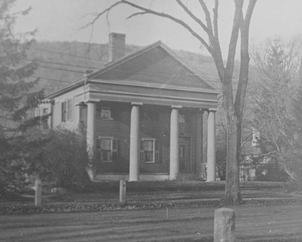
Another view of the Methodist Church on Main Street in Monson, around 1900-1920. Image courtesy of the Monson Free Library.

750_1900-1920c mfl

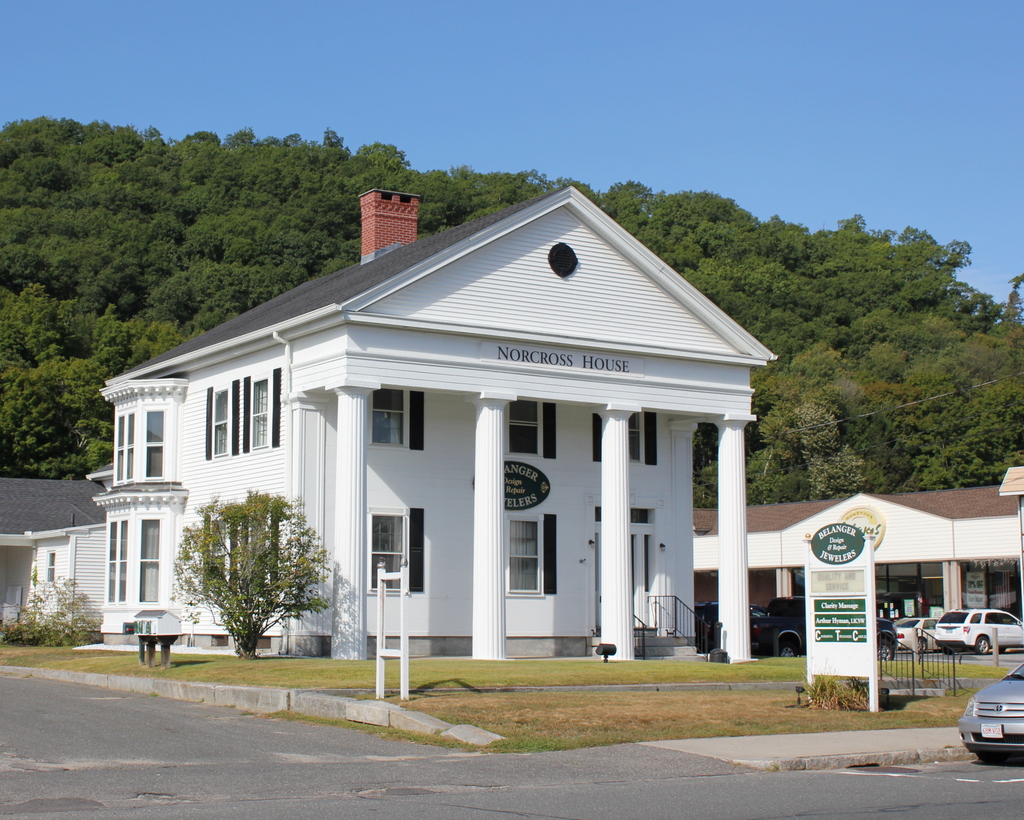
The church in 2015:

750_2015
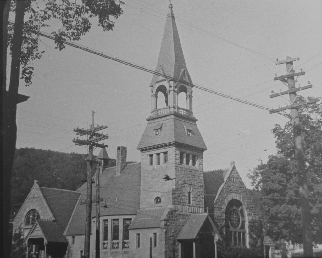
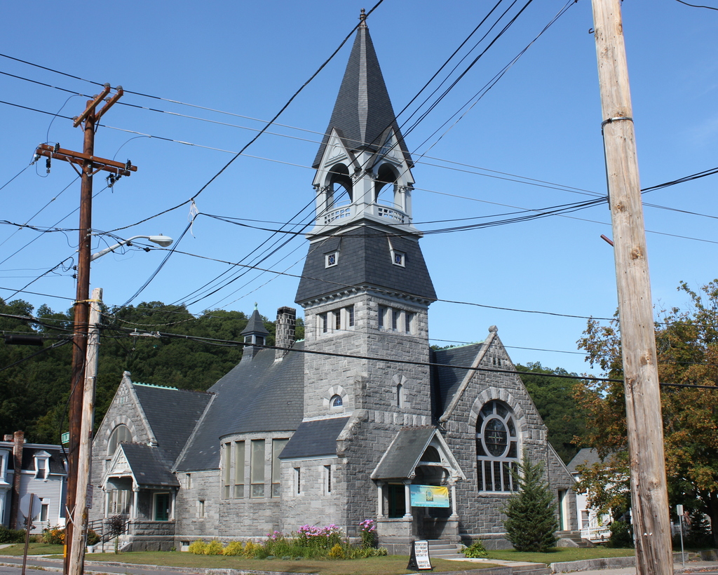
As explained in the previous post, this church at the corner of Main and Cushman Streets was built in 1850, and it is the oldest of Monson’s four church buildings.  The only major change in the church’s appearance between the two photos is the steeple.  The top of the steeple above the belfry was removed in 1952 because of damage caused by the 1938 hurricane, and it was replaced in 2010.  Aside from that, though, the rest of the historic church is essentially unchanged, and it is an excellent example of mid 19th century New England church architecture.

Methodist Church, Monson, Mass (1)

The Methodist Church on Main Street in Monson, probably taken around 1900-1920. Image courtesy of the Monson Free Library.

749_1900-1920c mfl

The church in 2015:

749_2015
The Methodist church in Monson was first established in the 1820s, and in 1827 its first permanent church building was built about a mile south of here, at the corner of Main and Maple Streets.  However, the congregation outgrew that building, and in 1850 they moved to this much larger, more centrally-located church in downtown Monson.  As seen in the two photos, it is still standing today, and it is the oldest active church building in town.

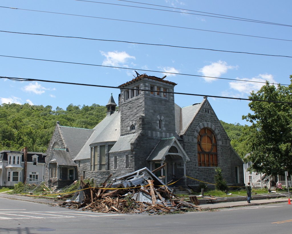
Architecturally, the church strongly resembles the traditional New England churches of the early 1800s, but there are also some elements of Gothic Revival architecture, such as the arched windows and the quatrefoil window on the tower.  Since its completion, there have not been many major changes to its appearance.  Aside from an expansion around 1860, the only major change has been the steeple.  The 1938 hurricane weakened its supports, so in 1952 the spire was removed, and was not replaced until 2010.  Just a year later, a tornado caused severe damage to downtown Monson, and destroyed the steeples of two nearby churches, but this church survived largely unscathed.

State Street, Springfield, Mass

The view looking west on State Street from Myrtle Street in Springfield, around 1913. Image from Progressive Springfield, Massachusetts (1913).

733_1913c progressivespringfield

State Street in 2015:

733_2015
The first photo shows roughly the same section of State Street as the one in this post, just taken from the opposite direction.  In the early 1900s, the elm-lined State Street was primarily residential, with a number of single-family homes on either side.  Also in the photo, on the right, is the ivy-covered facade of the First Baptist Church, which was built in the late 1880s.  The congregation merged with another Baptist church around the time the photo was taken, and the building later became St. Paul’s Universalist Church.  It was later demolished, and today there is a parking lot on the site.

By the early 1900s, the street was still unpaved, but automobiles were still fairly rare anyway.  Instead, the trolleys of the Springfield Street Railway carried much of the city’s traffic, and at least three appear to be visible here on the busy State Street corridor.  Their days were numbered, though, because within a couple decades most trolley networks around the country had been replaced with buses.  In Springfield, these buses eventually came under the control of the Pioneer Valley Transit Authority, and they still operate many lines along this part of State Street, as seen in the 2015 photo.

Kenmore Square, Boston

Facing east in Kenmore Square, with Beacon Street to the left and Commonwealth Avenue to the right, on November 14, 1911.  Image courtesy of the City of Boston Archives.

709_1911-11-14 coba

Kenmore Square in 2015:

709_2015
The area that makes up Kenmore Square today was originally Sewall’s Point, on the edge of a large tidal marsh along the Charles River.  These photos were taken right about where the shoreline once was when European settlers first arrived in 1630, and there was no dry land from here until Boston Common, around a mile and a half away. This “back bay” of Boston remained relatively unchanged for nearly 200 years, and the site of Kenmore Square, which technically wasn’t even part of Boston at the time, remained undeveloped.

Things started to change in 1821, when the Mill Dam was built across the Back Bay from here to Boston Common.  The idea was to use the tide to power factories in the area, and although that aspect of it was a failure, the dam was also used as a toll road.  Later in the 19th century, when the Back Bay was filled in, the road on the old dam became Beacon Street.  The original dam was never actually dismantled, so the wooden structure is still buried under the road today.

Once the landfill projects were completed around 1900, this area became the intersection of three major roads: Beacon Street, Commonwealth Avenue, and Brookline Avenue.  The houses along Commonwealth Avenue were primarily built in the 1890s, and within the next few decades larger commercial buildings opened here. The first was the 1897 Hotel Buckminster, which is located just behind where these photos were taken.

In the past century, Kenmore Square has not undergone drastic changes.  Many of the houses along Commonwealth Avenue are still standing, as are some of the commercial buildings to the left. Today, the square is probably best known for its association with the Boston Red Sox.  Fenway Park, which was under construction when the first photo was taken, is less than 300 yards to the right along Brookline Avenue, and the large Citgo sign that is prominently visible from the park is just out of view to the left, on top of Barnes & Noble building on the far left.

Kenmore Subway Incline, Boston

The subway incline at Kenmore Square on October 2, 1914. Image courtesy of the City of Boston Archives.

708_1914-10-02 coba

The scene in 2015:

708_2015
When Boston’s first subway tunnel opened in 1897, it extended as far west as the Boston Public Garden, where trolleys came to the surface and traveled west along Boylston Street.  However, because of the traffic congestion, the tunnel was extended a little over a mile to Kenmore Square, with cars surfacing just east of the square in the median of Commonwealth Avenue.  From here, the trolley lines split and either continued on Commonwealth Avenue (today’s B branch), or turned onto Beacon Street (today’s C branch).  The first photo was taken a day before the line officially opened in 1914, and the trolley car has a “Special Car” sign on top of it.  Less visible on the side of the car is a poster that reads “The Boylston Street Subway will open Saturday,” which was October 3.  The first photo was taken just to the left of the one in the previous post, probably only a few years later.

This subway incline ended up being used for just 18 years.  In 1932, the tunnel was extended under Kenmore Square, where it split into today’s B and C branches of the Green Line before surfacing just west of the square.  The original incline was closed off, and the Commonwealth Avenue Mall reverted back to its pre-1914 appearance.  Today, the only remaining trace of it is the arch in the distance, which once formed the top of the tunnel.