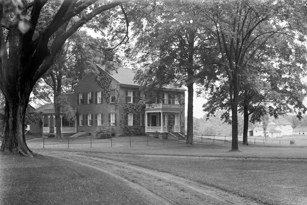
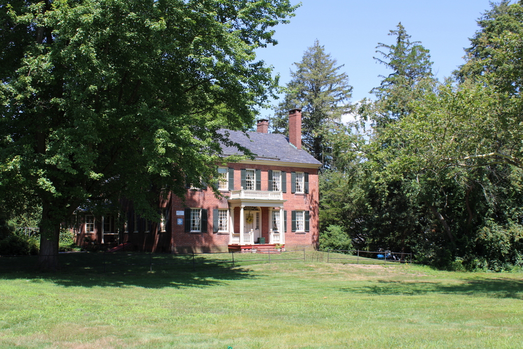
William Marshall House, Philadelphia, Pennsylvania

The house at 322 Spruce Street, between Third and Fourth Streets in Philadelphia, in March 1859. Image courtesy of the Library Company of Philadelphia, Frederick De Bourg Richards Photograph Collection.

The scene in 2019:

The house in the first photo was built in 1786 as the home of the Reverend William Marshall, who served as pastor of the Scots Presbyterian Church and later the Associate Presbyterian Church. He lived here throughout the late 18th century, and during this time his wife ran a boarding house in order to supplement his pastoral salary. She hosted a variety of notable boarders here, including a few of the delegates to the Constitutional Convention in 1787 and, a few years later, several French noblemen who were living here in exile after the French Revolution. Among them was Louis-Marie, vicomte de Noailles, the brother-in-law of the Marquis de Lafayette, who stayed here for several years starting in 1792. However, by far the most prominent boarder here was Louis Philippe d’Orléans, who would eventually become King Louis Philippe of France.

Louis Philippe arrived in Philadelphia in 1796 when he was 23 years old. His father had been the Duke of Orléans, and both men had been supporters of the French Revolution, with Louis Philippe serving with distinction as an officer in the revolutionary army, but the family ultimately fell out of favor during the Reign of Terror. The Duke was executed by guillotine in 1793, and Louis Philippe fled the country, eventually ending up in Philadelphia after spending several years traveling throughout Europe.

He appears to have remained here with the Marshalls for several months, until the arrival of his two brothers in 1797. They subsequently moved into a house of their own in Philadelphia, but Louis Philippe would continue his travels here in America, living in New York and Boston before eventually returning to France with his brothers in 1800.

Following the restoration of the monarchy in 1815, he became a part of the royal court, although he tended to be more liberal-minded than the kings were. The final monarch from the House of Bourbon, Charles X, was ultimately forced to abdicate in the July Revolution of 1830, and this created an opportunity for Louis Philippe, who was then declared king. In contrast to the conservative Charles X, he tried to portray himself as a man of the people, and he was referred to as the “Citizen King.” He reigned as king for the next 18 years, but over time his popularity waned, and he too was forced to abdicate, in February 1848, making him the last king in the history of France.

In the meantime, the modest boarding house where the future king had once lived was still standing here on Spruce Street at the end of his reign. The first photo was taken in 1859, just 11 years after Louis Philippe’s abdication, by Frederick De Bourg Richards, as part of an effort to document historic landmarks in the city. By this point the building was the home of Miss Carr’s School for Young Ladies, although the exterior likely had not changed much from its original appearance, since it still resembled a typical late 18th century rowhouse.

The house was still standing here as late as 1885, when it was featured in an article in the Magazine of American History. However, the article noted that it was currently in use as an upholstery shop, and that it “has undergone considerable alteration since its palmy days.” The article lamented the poor state of preservation, while also observing that it had once been a curiosity among visitors but had since fallen into obscurity. This is perhaps due in part to the fact that, when the first photo was taken, the reign of Louis Philippe was still a recent memory for most people, while by the mid-1880 nearly 40 years had elapsed since his abdication.

Today, the streets of Philadelphia’s Society Hill neighborhood are still lined with historic rowhouses, but the former residence of Louis Philippe is not among them. It was demolished at some point, probably in the late 19th or early 20th centuries, and today the lot is part of St. Joseph’s Way, a pedestrian walkway that runs parallel to Third and Fourth Streets for several blocks. There are, however, a few surviving remnants from the first photo. Most obvious is the house on the right side, but both photos also feature the spire of St. Peter’s Episcopal Church, which was built in 1758 and still stands in the distance at the corner of Third and Pine Streets.

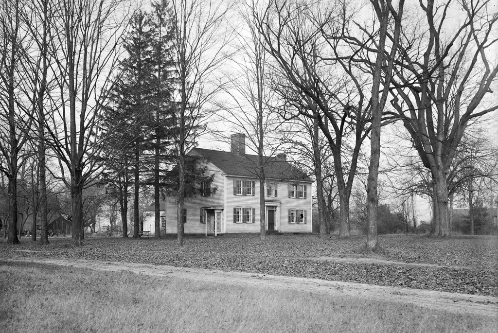
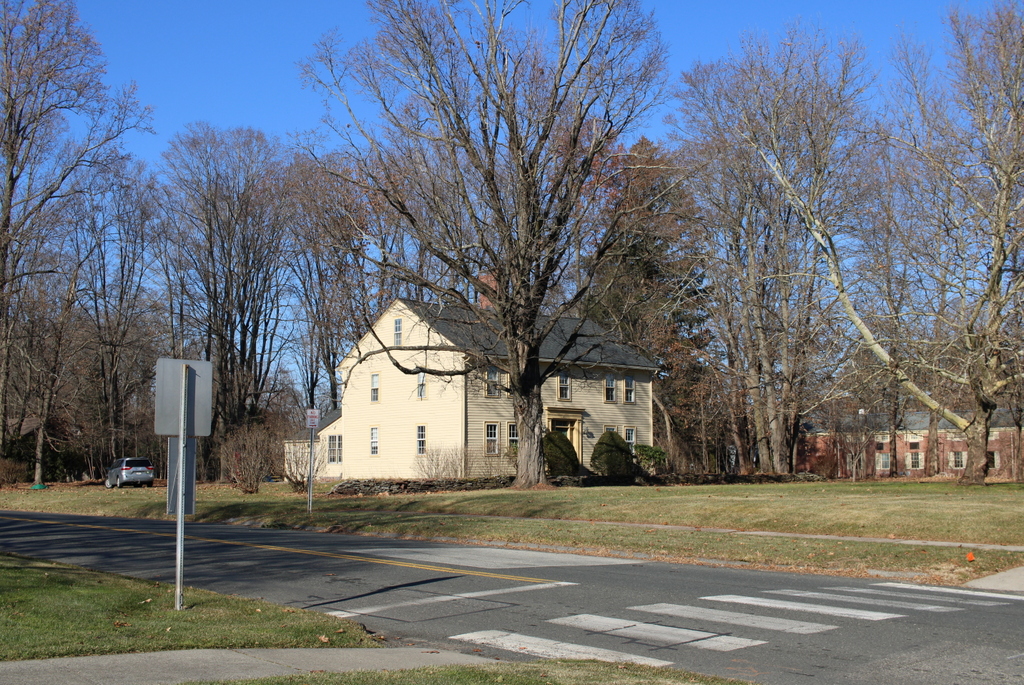
William Cullen Bryant Homestead, Cummington, Mass

The William Cullen Bryant Homestead on Bryant Road in Cummington, around 1890. Image from Picturesque Hampshire (1890).

The scene in 2020:

These two photos show the childhood home—and later the summer home—of William Cullen Bryant, a prominent 19th century poet and newspaper publisher. The house was built in 1783 by his grandfather, Ebenezer Snell, who had moved to Cummington from North Bridgewater a decade earlier. At the time, Cummington was a small, remote settlement in the Berkshire Mountains, located along upper reaches of the north branch of the Westfield River. The first colonial settlers did not arrive here until 1762, and it was not formally incorporated as a town until 1779.

Ebenezer Snell and his wife Sarah were both in their mid-30s when they moved to Cummington. They brought four young children with them, including William Cullen Bryant’s mother Sarah, and they subsequently had a fifth child while living in Cummington. By the time they moved into this house in 1783, the younger Sarah was about 15 years old. She continued living here as an adult, and in 1792 the family took in a boarder, Dr. Peter Bryant. Like the Snell family, he was from North Bridgewater, and he he was a year older than Sarah.

According to tradition, Peter Bryant had fallen in love with Sarah while the Snells were still in North Bridgewater, and he subsequently followed them here to Cummington. This seems rather improbable or exaggerated, since he and Sarah were about five or six years old when the Snells left North Bridgewater. Either way, though, Peter and Sarah soon fell in love here in Cummington, and they were married in October 1792. They subsequently moved into their own house in town, where their first child, Austin, was born six months after their marriage.

Peter and Sarah’s second child was William Cullen Bryant, who was born at their home on November 3, 1794. Soon after, the family suffered financial trouble after Peter lost money in a risky investment. They lived in the nearby town of Plainfield for several years, and they ultimately moved in with Sarah’s parents here at their home in Cummington in the spring of 1799, when William Cullen Bryant was four years old.

The move here to the family homestead proved to be a transformative experience for the future poet. The house is located about two miles west of the town center, on a northeast-facing slope that overlooks the Westfield River Valley. The land around the house was mostly open fields and pastureland, but the outlying portions of the property were largely forested. Most famously, this included the Rivulet, a stream that flows past the house and through an old growth forest on the northeastern edge of the lot. This stream was a favorite childhood haunt of Bryant, who wrote some of his earliest lines of poetry along its banks, and he later memorialized it in his poem “The Rivulet.”

Writing many years later in 1872 in a letter to a friend, Bryant provided the following description of the landscape surrounding his childhood home:

The site of the house is uncommonly beautiful. Before it, to the east, the ground descends, first gradually, and then rapidly, to the Westfield River flowing in a dep and narrow valley, from which is heard, after a copious rain, in the roar of its swollen current, itself unseen. In the spring-time, when the frost-bound waters are loosened by a warm rain, the roar and crash are remarkably loud as the icy crust of the stream is broken, and the masses of ice are swept along by the flood over the stones with which the bed of the river is paved. Beyond the narrow valley of the Westfield the surface of the country rises again gradually, carrying the eye over a region of vast extent, interspersed with farm-houses, pasture-grounds, and wooded heights, where on a showery day you sometimes see two or three different showers, each watering its own separate district; and in winter-time two or three different snow-storms dimly moving from place to place.

Peter Bryant practiced medicine in an office here in this house, and during the early 19th century he achieved some success as a politician. In 1806 he was elected to a one-year term in the state house of representatives, and he subsequently served in that same capacity in 1808, 1809, and 1813, before serving in the state senate in 1818 and 1819.

Throughout this time, Peter Bryant was a staunch Federalist, and he instilled these political beliefs in young William. Although he would become famous for his nature poetry, some of William Cullen Bryant’s earliest poems were political. Among these was “The Embargo,” a satire that criticized Thomas Jefferson and the financial crisis caused by his infamous Embargo Act of 1807. Published in 1808 when Bryant was just thirteen, the poem is more than 500 lines in length. In one particularly scathing stanza, Bryant declared Jefferson to be “scorn of every patriot name, / Thy country s ruin and thy council s shame!” Bryant even alluded to the rumors about his affair with Sally Hemings, telling Jefferson to “sink supinely in her sable arms; / But quit to abler hands the helm of state.”

This poem and other similar politically-charged works would later become a source of some embarrassment for Bryant once he matured, but these poems earned him some notability as promising young poet. Although its reviewer disagreed with Bryant’s critical stance on Jefferson, the Monthly Anthology nonetheless admired his talents, declaring that “[w]e have never met with a boy of that age who had attained to such a command of language and to so much poetic phraseology.”

However, despite this early talent as a poet, Bryant’s career goal was to become a lawyer. To that end, he enrolled in Williams College in 1810 at the age of 16, but left at the end of the school year. He intended to continue his studies at Yale, but his father’s still-precarious financial situation forced him to change his plans. Instead, he read law—essentially a legal apprenticeship—with two different lawyers, and he was ultimately admitted to the bar in 1815.

Bryant began his legal career in Plainfield, but he continued to live here at the family homestead for a year, walking seven miles a day in each direction to get to his office. Then, around 1816 he moved to the much larger town of Great Barrington in the southwest corner of the state, where he practiced law for the next nine years. However, he was still publishing poetry during this time, including his most famous poem, “Thanatopsis.” Bryant had actually written the poem around 1811 when he was just 17, but it was published in 1817 and eventually became Bryant’s most significant contribution to the American canon of literature. The poem approaches death from a naturalistic perspective, describing how death is not something to be feared since the body becomes part of the natural world. The poem includes many vivid descriptions of nature, which were likely influenced by Bryant’s time here at the homestead in Cummington.

“Thanatopsis” would prove to be the high point of Bryant’s career as a poet, but he subsequently went on to achieve prominence as a newspaper editor. Having grown tired of Great Barrington, Bryant moved to New York City, where he worked as a magazine editor before becoming editor-in-chief of the New York Daily Post in 1829. He would go on to hold this position for the next half century, until his death in 1878. Throughout this time, the Post was one of the nation’s leading newspapers, and he used the paper to advocate for liberal causes such as abolitionism, organized labor, and immigrant rights. In 1860, he played an important role in Abraham Lincoln’s nomination, using his influence to generate support in the eastern states for the relatively obscure former congressman from Illinois.

In the meantime, the rest of the Bryant family also began to look beyond the old family homestead here in Cummington. Just as Ebenezer Snell had moved his family west from North Bridgewater in the 1770s, the later generations of his family also saw greater opportunities further to the west. Farming was difficult in the rocky, mountainous hill towns of western Massachusetts, and many families were drawn to the newly-formed territories and states, lured by promises of better farmland and greater opportunities. Many of these towns experienced population loss in the mid-19th century, including Cummington, which peaked in population in 1830 with 1,261 residents, before entering a 90-year decline. By 1920, the town had barely a third of its 1830 population, and experienced only moderate growth in the second half of the 20th century. Even today, the population of Cummington and many other hill towns is substantially lower than it was in the mid-19th century.

Among those who joined the exodus from Cummington were William Cullen Bryant’s younger brothers Arthur, John, and Cyrus, who moved away in the early 1830s and eventually made their way to Illinois. This left only the eldest brother Austin here at the homestead with their widowed mother Sarah, who continued to struggle financially and fell into debt. William helped with the interest payments on the loans, but Sarah and Austin ultimately decided to sell the property in 1835, much to William’s disappointment.

The new owner of the house was Welcome Tillson, a farmer who was in his mid-30s at the time. He lived here for the next 30 years, and at some point during this time he removed the wing that had once housed Bryant’s father’s office. This small piece of the building was, according to Bryant, subsequently moved down the hill to the banks of the Westfield River. During the 1860 census Welcome and his wife Sarah were in their late 40s, and were living here with their 28-year-old son Cyrus and his wife Elizabeth. He owned about 500 acres of improved land and 35 acres of unimproved land, and his agricultural output in 1860 consisted primarily of butter, cheese, wheat, corn, oats, potatoes, and maple syrup.

In 1865 Bryant, who was now 70, purchased the property from Tillson for use as a summer home. It was also intended to serve as a place of quiet rest for his wife Frances, who was in poor health. He soon set about making renovations, including adding a third story by raising the original section of the house and then constructing a new first floor underneath it. Bryant also added a replica of his father’s office to the southwest corner of the house. This one-story wing served as Bryant’s study, and it is visible on the left side of both photos here. However, Frances Bryant did not live long enough to see these renovations completed; she died in July 1866, just a year after her husband purchased the house.

Aside from these changes to the house, Bryant also made improvements to the grounds, including planting some 1,300 apple trees and a variety of other fruit trees. Immediately to the west of the house, in the distance of the first photo, Bryant planted a row of pine trees to act as a wind break, and further down the hill from here he built a small pond to serve as a source of ice that could be harvested and stored for the summer. In addition, he made two different additions to the barn on the other side of the street, first in 1866 and then in 1875. This barn had been built by Welcome Tillson after he purchased the property, replacing an earlier one that Peter Bryant had constructed on the same site in 1801.

Bryant continued to spend his summers here in Cummington for the rest of his life, generally arriving in late July and staying until early September. He died in New York City on June 12, 1878 at the age of 83, but this property remained in his family for several more generations. His younger daughter Julia inherited the house, and she owned it when the first photo was taken around 1890, although she spent most of her later years in Paris, where she lived with her cousin and presumed romantic partner, Anna Fairchild.

Julia died in 1907 and left this house to Anna Fairchild, who owned it until 1917, when she sold it to Julia’s niece Minna Godwin Goddard, who was the daughter of Bryant’s older daughter Frances. Minna then owned it until her own death in 1927, and in her will she left the property to the Trustees of Reservations, with the stipulation that her son Conrad would have life tenancy rights. The family also donated furniture and other items to the Trustees, and in 1931 Conrad built a caretaker’s house to the north of the main house, just out of view on the far right side of this scene.

Today, nearly a century after the Minna Goddard left this property to the Trustees and more than 230 years after her great-great grandfather Ebenezer Snell built the house, this house is still standing as an important historic landmark. As shown in these two photos, very little has changed here in this scene since the first photo was taken around 1890. Even some of the trees are still standing from the first photo. The three large maples in the foreground are the same ones from the first photo, and they were originally planted here in the early 19th century by the Bryant family.

The Bryant Homestead is still owned by the Trustees, which owns a number of other historic sites and conservation areas throughout Massachusetts. Here in Cummington, this property features not only the historic house but also nearly 200 acres of surrounding land. Several hiking trails wind through this landscape, including one that runs alongside the Rivulet, through the same old growth forest that first inspired Bryant more than two centuries ago. Overall, the homestead looks much the same as it did when Bryant acquired it in 1865, and it is one of the many important literary landmarks here in New England.

Henry Howser House, Cherokee County, South Carolina (2)

The front entrance of the Henry Howser House on the grounds of the Kings Mountain National Military Park in South Carolina, in 1938. Image taken by Frances Benjamin Johnston, courtesy of the Library of Congress, Carnegie Survey of the Architecture of the South.

The scene in 2020:

As discussed in more detail in the previous post, this house was built in 1803 by Henry Howser, a stonemason whose name appears on the lintel above the front door here. He lived here for the rest of his life, until his death in 1822, and the property would remain in his family for many generations, before being sold by his great-great grandsons in 1918.

Howser was originally from Pennsylvania, and he drew inspiration from that state’s architectural styles when building this house. As a result, its design bears little resemblance to other rural farmhouses in early 19th century South Carolina, particularly in the use of stone. These two photos show some of the detail of Howser’s stonework, which consisted of coursed ashlar here on the main facade, with stones of varying colors and sizes.

The first photo shows a glimpse of the interior of the house, which is also modeled on Pennsylvania German architecture. Known as a kuche and stube layout, the first floor featured a large kitchen, or “kuche,” that occupied more than half of the floor, including everything to the right of the doorway. The remaining part of the first floor was divided into two rooms, one of which would have been the parlor, or the “stube.” Likewise, the second floor is divided into three rooms, one of which was larger than the other two combined.

The Howser family did not consistently live here after the death of Henry’s daughter-in-law Faithy in 1882, but they often rented the property to tenant farmers. After they sold it in 1918, the new owners continued renting it, but it steadily deteriorated over the years. By the time the first photo was taken in 1938, almost all of the windows were broken, and the front door appeared to be off its hinges, leaving the house exposed to the elements.

Also in 1938, the National Park Service acquired this property, and it became part of the Kings Mountain National Military Park, which commemorates a pivotal battle in the southern theater during the American Revolution. However, because the house was built more than 20 years after the battle, it did not have any direct connection to it. Perhaps for that reason, the National Park Service did not fully restore it until the 1970s, when the stonework was repointed, the interior was rehabilitated, and the sheet metal roof was replaced with a shingled one.

Today, the house is still standing here, and it is in much better condition than it was when the first photo was taken. It survives not only as a rare example of its architectural style in the south, but also as a reminder of the ways in which the land use of the battlefield has changed over the years. However, it is situated in a secluded area on the edge of the park, far from the main battlefield site, so it receives few visitors and is only open for tours several times each year.

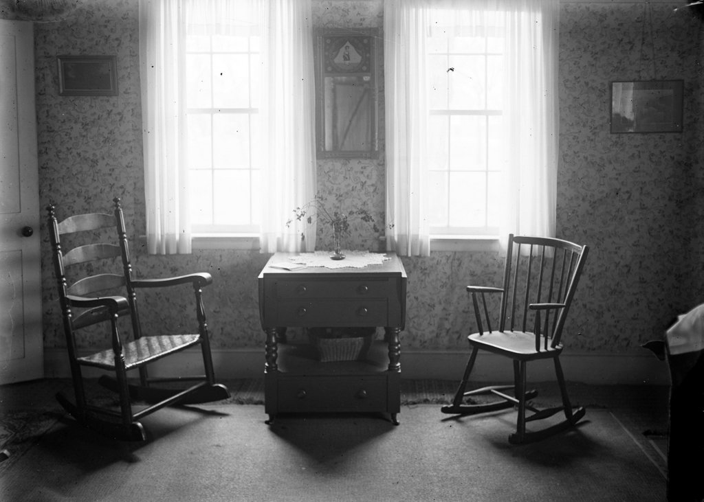
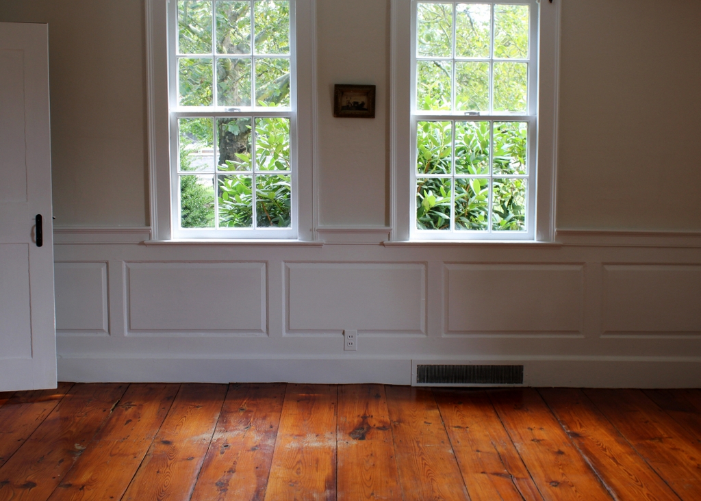
Henry Howser House, Cherokee County, South Carolina

The Henry Howser House on the grounds of the Kings Mountain National Military Park in South Carolina, in 1938. Image taken by Frances Benjamin Johnston, courtesy of the Library of Congress, Carnegie Survey of the Architecture of the South.

The house in 2020:

The Battle of Kings Mountain was an important battle in the southern theater during the American Revolution. Fought in the rural northwestern part of South Carolina on October 7, 1780, the battle was a significant Patriot victory that helped shape the subsequent events in the war. In the battle, a Patriot militia force surprised and defeated a larger Loyalist militia force, resulting in 290 Loyalists dead and 668 captured, compared to just 28 Patriots killed. The outcome caused Lord Cornwallis to delay his planned invasion of North Carolina, which led to the even more decisive Battle of Cowpens three months later.

After the war, this area of South Carolina remained very rural. Then, in 1788 Henry Howser, a stonemason from Pennsylvania, moved here and purchased much of the former battlefield. He constructed this house in 1803, as indicated by the lintel above the front door, in which he carved “Henry Howser – Stone Mason / Jane Howser 1803.” The Jane here was apparently his wife, Christina Jane Howser, although other sources claim that this Jane Howser was an enslaved stonecutter who assisted Henry with the construction.

Henry Howser became a wealthy man here in South Carolina, and he is variously listed as a farmer and distiller, in addition to being a stonemason. Unlike the large-scale plantations in other parts of South Carolina, Howser’s farm did not have massive numbers of enslaved laborers, but during the 1810 census he did have three slaves here, and a decade later he had four. He died in 1822, leaving a personal estate that was valued at $5,353, not including his extensive real estate holdings.

Henry’s son, who was also named Henry, subsequently acquired this house, where he lived until his death in 1842. The property then passed to his wife, Faithy, who outlived him by 40 years. By the 1850 census, she was 55 years old and living here with David Howser, who appears to have been her son. In addition, she had a 42-year-old enslaved woman and a ten-year-old enslaved boy, neither of whom are identified by name on the census. At the time, her land was valued at $3,500, which included the house and 100 acres of improved land, along with 800 acres of unimproved land. Her farm produced a variety of crops that year, in particular wheat, corn, and oats. She also had four horses, four milk cows, eight other head of cattle, a sheep, and 13 swine.

Faithy Howser died in 1882, but the property remained in the family for several more generations. Her grandson, Lawson Howell, acquired it in 1884, followed by his sons Aaron and J. Grigg Howell in 1911. For most of this time, Lawson and his sons rented the house to tenant farmers, although J. Grigg Howell did live here from 1915 to 1918. He and Aaron then sold the property, more than a century after their great-great grandfather built it.

Under new ownership, the house continued to be rented to tenants, including Tom Morris, who lived here from 1919 until around the mid-1920s. In the 1920 census he was 50 years old, and he was living here with his wife Maggie, their daughters Mary and Julia, Julia’s husband James Norman and infant daughter Pauline, and Tom’s mother Sallie. Tom’s occupation was listed as a general farmer, his daughters were listed as laborers on a home farm, and James Norman was a sawyer.

In 1931, the federal government created the Kings Mountain National Military Park, in order to preserve the nearby battlefield site. The Howser House was not originally a part of this park, but in 1938 the National Park Service purchased this property and added it to park. The first photo was taken around this time, by prominent photographer Frances Benjamin Johnston. Her project, known as the Carnegie Survey of the Architecture of the South, involved photographing thousands of buildings in the southeast, which ranged from exquisite mansions to dilapidated ruins. By the time she documented the Howser House, it was much closer to the latter category, having evidently been abandoned for some time. The photo shows hardly a shard of glass remaining in any of the window panes, and the front door was likely wide open long before Johnston arrived, exposing the interior to the southern elements.

Even after the National Park Service acquired the house, its condition did not improve for many years. The doors and windows were boarded up in 1941, offering some protection for the house, but otherwise it was largely neglected. This was perhaps because the house was not directly related to the battle itself, and because of its remote location near the northwestern fringe of the park. However, the house was ultimately restored in the 1970s, including repointing the exterior walls, repairing the interior woodwork and walls, and replacing the sheet metal roof with a shingled roof.

Today, unlike so many of the other decaying southern homes that Frances Benjamin Johnston visited in the 1930s, the Howser House is in much better condition than it was when she took the first photo more than 80 years ago. However, with its closed shutters and deteriorating roof, it retains a somewhat bleak appearance, which is only enhanced by its secluded location within the park. The house seems to be rarely visited by tourists to the park, and the restored interior is only open for tours several times a year. Nonetheless, it survives as an important early 19th century architectural work, and as an unusual example of a Pennsylvania-style stone house in South Carolina.

Main Street, Charlemont, Mass

Looking east on Main Street from the corner of North Heath Road in the center of Charlemont, around 1891. Image from Picturesque Franklin (1891).

The scene in 2020:

These two photos show the scene looking east on Main Street in the center of Charlemont. The town is situated along the Deerfield River, and this valley serves as the primary east-west route through the northern Berkshires. Charlemont was settled in the mid-1700s, and today the town features a number of historic buildings from the late 18th and early 19th centuries, some of which are visible here in this scene.

On the far left side of the scene is the former Charlemont Methodist Church. The exact origins of this building seem murky, with various sources listing it as having been built in 1840, 1820, or 1770. Regardless of its actual date of construction, it was originally built elsewhere in Charlemont, and it served as the town’s Unitarian church. However, this congregation subsequently disbanded, and in 1861 the Methodists purchased it to replace their own church building, which had been destroyed in a fire. They then moved the former Unitarian building to this site on Main Street. Prior to the move, they built the ground floor to house social rooms, and then placed the church on top of this structure.

Aside from the church, the first photo shows a number of houses on both sides of Main Street. Most feature modest Greek Revival-style designs, and they were likely constructed around the mid-19th century. One of the largest of these houses is the one in the center of the scene, just to the right of the church, which appears to have been enlarged several times during the 19th century. The main section of the house has two stories, and on the left is a one-story ell extending toward the church. There is another one-story addition in the rear of the house, which is connected to a barn.

The 1871 county atlas lists this house as the home of Robert R. Edwards, a local manufacturer who ran a small factory in Charlemont that produced scythe snaths. During the 1870 census, he was 52 years old and living in the town with his wife Lydia, presumably here at this house. At the time, his real estate was valued at $4,000, along with $1,000 for his personal estate, so his total net worth was somewhat higher than that of most of his neighbors. By 1879, his factory employed six workers, and produced a thousand snaths per week. Aside from his business, he served on the board of trustees for the neighboring Methodist Church, and he was also on the town’s library committee. He died in 1910 at the age of 92, so it seems plausible that he was still living here in this house when the first photo was taken.

The first photo depicts the scene here in Charlemont shortly before the dawn of the automobile age. Within just a few years, early “horseless carriages” would begin to make their appearances on the streets. One of the challenges for these pioneering motorists, though, was the generally poor condition of America’s roads. As shown in the first photo, Charlemont’s Main Street was a muddy dirt road, with plenty of ruts left behind by many horse-drawn wagons.

Because of conditions like these, by the early 20th century Massachusetts began upgrading its road network, including the creation of the Mohawk Trail, which was formally designated in 1914. This scenic route, which still exists today as the western part of Massachusetts Route 2, links the northern Connecticut River Valley with the northern Berkshires. Main Street in Charlemont became part of this route, and the town center is the approximate midpoint between Greenfield and North Adams.

Today, notwithstanding the upgrades to the road, this scene has remained well-preserved more than 125 years after the first photo was taken. The center of Charlemont retains much of its historic character, and many of the buildings in the first photo are still standing, including Robert Edwards’s house and the Methodist Church. The church building has undergone significant interior changes, having been converted into a house in the 1960s, but its exterior is mostly the same, aside from the missing belfry. Both the church and the house, along with the other surrounding buildings, are now part of the Charlemont Village Historic District, which was added to the National Register of Historic Places in 1988.

North Main Street, Fall River, Mass

Looking north on North Main Street from the corner of Bank Street in Fall River, around 1914-1920. Image courtesy of the Library of Congress, Detroit Publishing Company Collection.

The scene in 2020:

Throughout the 19th century, Fall River was a prosperous textile manufacturing center. The city saw dramatic population growth during this time, particularly in the post-Civil War period. Between 1860 and 1900, the city grew nearly eightfold, from 14,000 to nearly 105,000, and by the turn of the century it was the third-largest city in Massachusetts, behind only Boston and Worcester.

However, the same textile industry that had brought such prosperity also led to the city’s decline, as mills closed and businesses relocated to the south starting in the 1920s. This, combined with a catastrophic fire that destroyed much of the downtown area in 1928, both hurt the local economy, and these problems were only exacerbated by the stock market crash at the end of the decade.

The first photo was taken in the final years of the textile industry’s heyday in Fall River, probably sometime between 1914 and 1920. The earliest possible date is 1914, when the Fall River Five Cents Savings Bank building was built on the far right side of the scene, at the corner of North Main and Bank Streets. The neighboring building to the left of it was also built in 1914, and in the first photo it was occupied by the Fall River Electric Light Company.

Just beyond the electric company building is the Mount Hope Block, which was perhaps the oldest building in the first photo. It was built in 1845, in the aftermath of a large fire two years earlier, and it was originally known as the Mount Hope House. At the time, it was one of two hotels in Fall River, and in 1847 a state gazetteer declared that “in the erection and furnishing no pains have been spared to make it a desirable place for any one disposed to spend a few days.” Later in the 19th century it was known as the Narragansett Hotel, and by the early 20th century it was the Evans House. The building initially occupied the entire length of the block between Bank and Franklin Streets, but the southern portion was demolished to build the bank and the electric company buildings, leaving only the northern half as shown in the first photo.

Beyond the Mount Hope Block, on the other side of Franklin Street, the largest building in the first photo is the Hotel Mellen. It opened in 1888, and was the city’s finest hotel throughout the first half of the 20th century. The building survived the 1928 fire, but it was subsequently gutted by a fire in 1943, leaving only the brick walls still standing. The hotel was rebuilt inside the brick shell of the old building, although the new one was six stories in height, rather than five.

Today, more than a century after the first photo was taken, there is very little that survives from the first photo, especially in the foreground. The bank is still standing at the corner, but the former electric company building and the Mount Hope Block are both gone. Both of these buildings were here when the Downtown Fall River Historic District was created in 1983, but they were demolished at some point after that, and the site is now occupied by a large wing of the bank building. This facility still serves as the main offices of the Fall River Five Cents Savings Bank, which is now branded as BankFive.

Further in the distance, the reconstructed Hotel Mellen is also gone. The hotel closed around the early 1960s, and the building was converted into a temporary city hall after the old city hall building was demolished to build Interstate 195. The current Brutalist-style city hall was completed in 1976, and the old hotel was then demolished soon after. Beyond the Hotel Mellen, there are several surviving buildings from the first photo, but for the most part this side of North Main Street has undergone signficiant changes, unlike the right-hand side of the street, which has been better-preserved over the years.