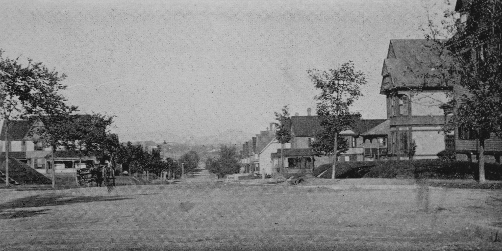
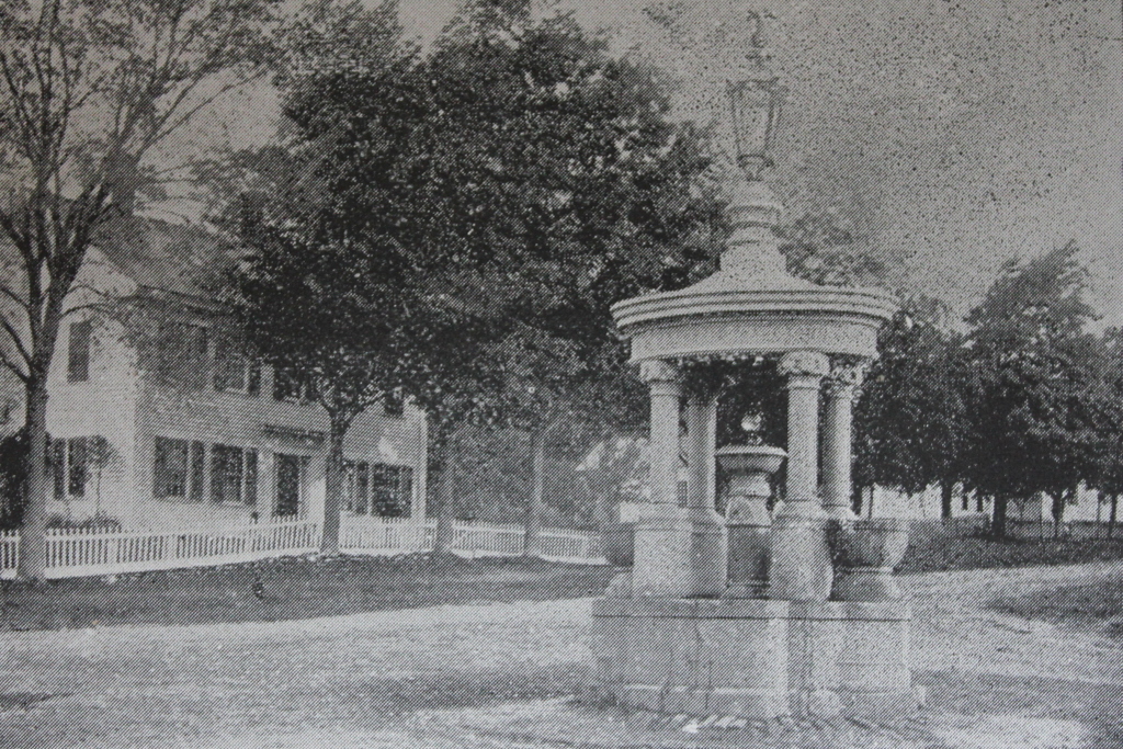
The fountain at the corner of Main Street and Haynes Hill Road in Wales, around 1892. Image from Picturesque Hampden (1892).
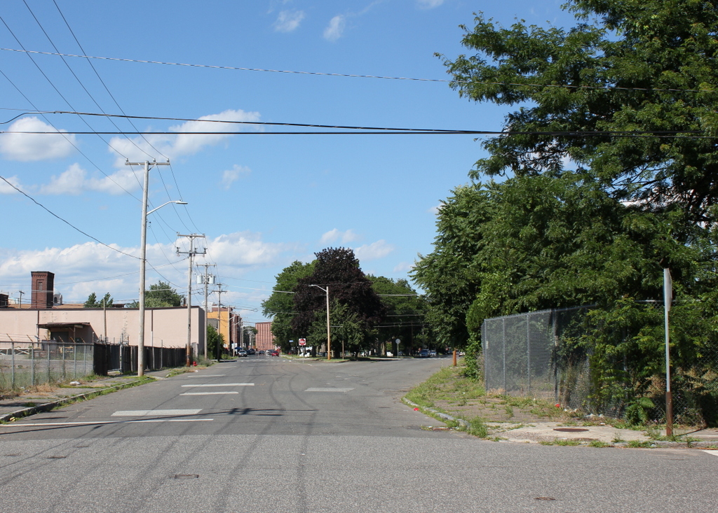
The scene in 2025:
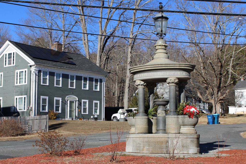
This fountain has been located here on Main Street in Wales since 1887, when it was donated to the town by William B. Howard. Born in Wales in 1832, Howard later moved west to Chicago, where he became a successful contractor. He was responsible for the construction of a number of railroads and bridges, but he was also involved in several other major projects, including the construction of the Indiana State House and the New Croton Aqueduct. Howard often returned to Wales as a summer visitor, where he stayed at the home of Myles Needham, and in 1887 he gave this fountain to the town as a gift. It was made of granite quarried from nearby Monson, and the design of the fountain is essentially identical to one in Monson, which now stands in front of Memorial Hall.
The top photo shows the fountain as it appeared shortly after it was installed at this site. Just beyond it to the left is a house that once served as the parsonage for the Wales Methodist Church. According to the state’s MACRIS database of historic buildings, the house may have been built around 1850, and at the time it was owned by a William Thompson. However, in 1858 the house was sold to the church, which used it as its parsonage until around the turn of the 20th century. The house subsequently reverted to a private residence, but it is still standing today, as is the fountain in the foreground.