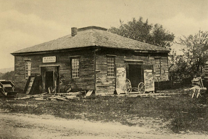
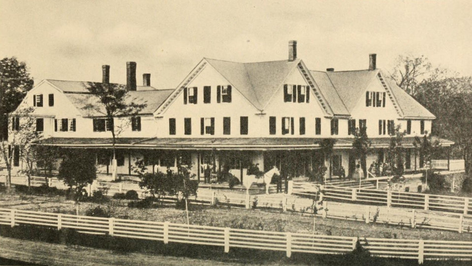
The Pemigewasset House in Plymouth in 1860. Image from History of Plymouth, New Hampshire (1906).
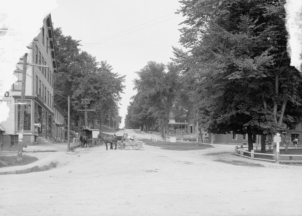
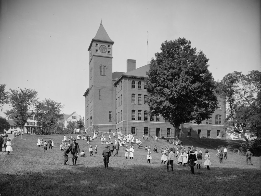
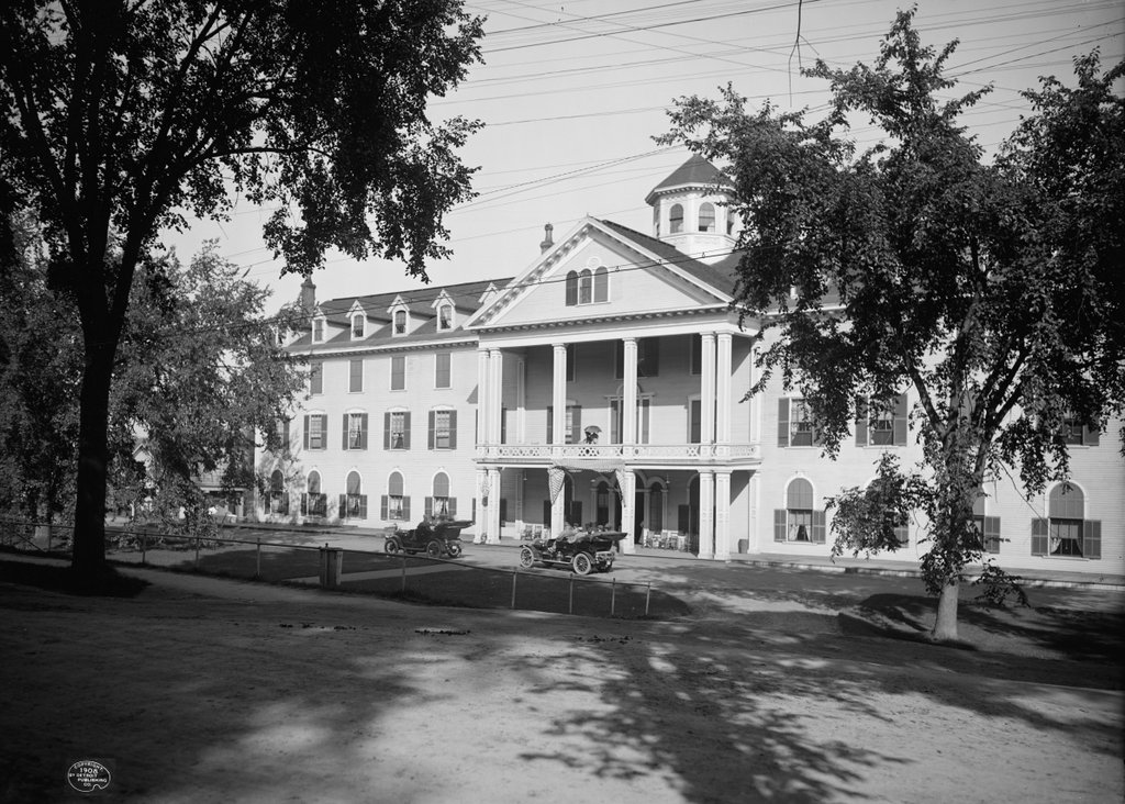
The rebuilt hotel, around 1908. Image courtesy of the Library of Congress, Detroit Publishing Company Collection.
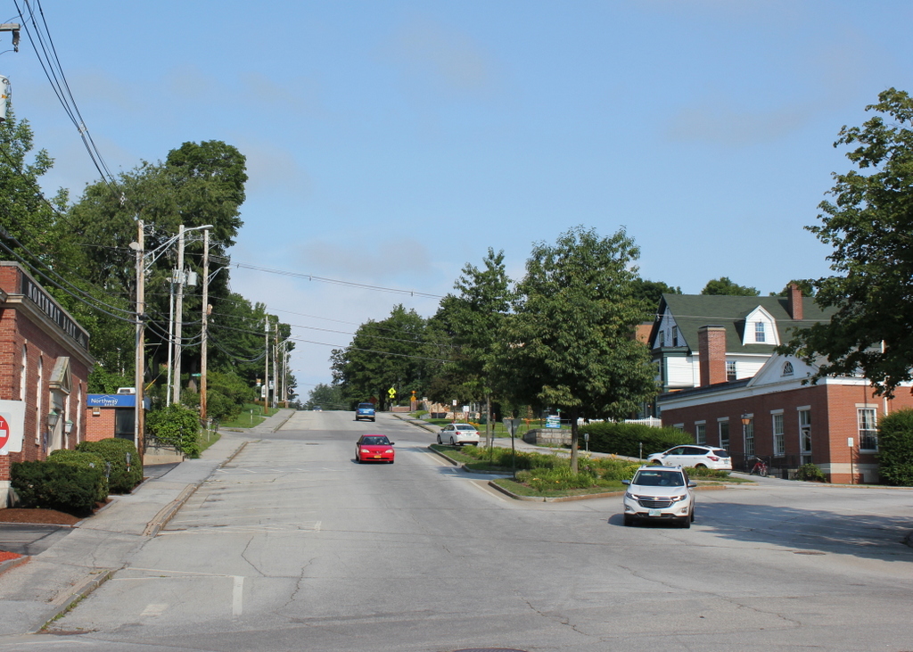
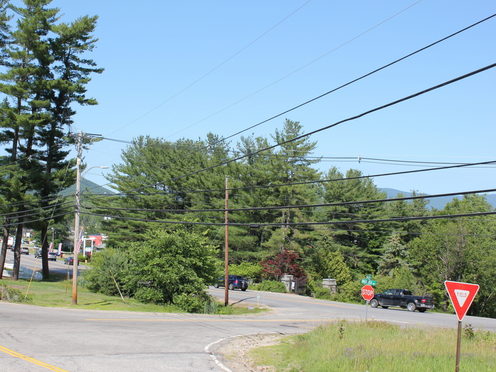
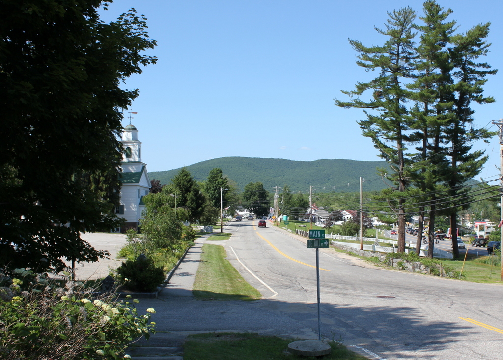
The scene in 2015:
The town of Plymouth is sort of the gateway to the White Mountains; it is located at the very southern end of the region, along the Pemigewasset River. This river valley forms the primary transportation corridor to the White Mountains from the south, and the town was a logical place to run an inn. Beginning in the 1760s, Colonel David Webster operated a tavern here, which was subsequently expanded by his family in the early 1800s. Wesbter’s Tavern was sold to Denison R. Burnam in 1841, who renamed it the Pemigewasset House, after the river that runs behind it. By the time the 1860 photo was taken, Burnam had expanded the building several times, but two years later it was destroyed in a fire.
The Pemigewasset House was quickly rebuilt as the building seen in the second photo. The hotel came under the ownership of the Boston, Concord, & Montreal Railroad, whose tracks were located on the opposite side of the building. Around noon, both northbound and southbound trains would stop here for a half hour so passengers could eat in the dining room, and for those who wanted to stay the hotel could accommodate 300 guests at $3 per night or $14 to $17.50 a week. For those heading further north to the White Mountains, they could either take the railroad or, if the Profile House at Franconia Notch was their destination, they could take a more direct trip on the daily stagecoach. This 30 mile journey took all afternoon back in the late 1800s; today, a traveler can make the same trip on Interstate 93 in about a half hour.
The hotel is probably best known, however, as the place where Nathaniel Hawthorne died. Hawthorne had been in poor health, so in the spring of 1864 he took a trip to the White Mountains with his friend, former president Franklin Pierce, in an attempt to recuperate. The two had been friends since the 1820s, when they met at Bowdoin College. By the time Pierce became a presidential candidate, Hawthorne had already become famous as the author of The Scarlet Letter, The House of Seven Gables, as well as a number of short stories (including “The Ambitious Guest,” written about a traveler who dies at a hotel in the White Mountains). In 1852, Hawthorne used his fame and writing talent to write a glowing biography of Pierce, portraying him as a man who could unite north and south and preserve the country. Later that year, Pierce was elected president in a landslide, and Hawthorne was rewarded with a consulate position in England.
By the time they took their trip together to the White Mountains 12 years later, though, things had changed; the country was in the middle of the Civil War, and many blamed Pierce and his disastrous presidency. They must have made an interesting sight, with one of the most hated, disgraced public figures in the country traveling with one of the most popular and respected authors of the time. One of their stops was in Dixville Notch, a small unincorporated village in the extreme northern part of New Hampshire, and from there they traveled 100 miles south to the Pemigewasset House, where they stayed on the night of May 18, 1864. They had dinner and tea at the hotel in the evening, but next morning Pierce awoke to discover that Hawthorne had died in his sleep, at the age of 59.
Like its predecessor, and like countless other massive wood-framed hotels of its day, the Pemigewasset House was vulnerable to fire. It burned down in early 1909, probably less than a year after the second photo was taken, and in 1913 a new hotel was built a little further up the hill. It is also no longer standing, having been demolished in the 1950s. Today, the site of the first and second buildings has been completely redeveloped, and it is difficult determining exactly where the hotel once stood. However, maps from the 1800s indicate that it was located between Main Street and the railroad tracks, just south of Highland Street. The 2015 scene was taken from Main Street, facing the triangular-shaped building on the south corner of Main Street and Railroad Square.