Custom House, Boston

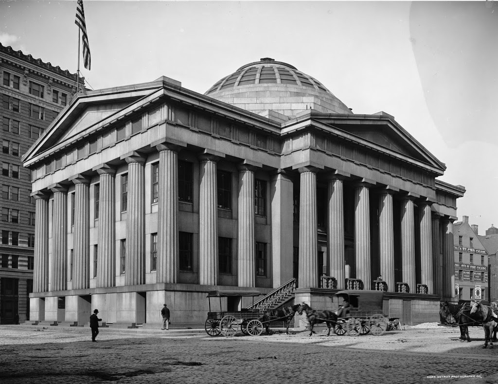
Boston’s Custom House, around 1900-1906. Image courtesy of the Library of Congress, Detroit Publishing Company Collection.

254_1900-1906c-oc.tif

The building in 2014:

254_2014

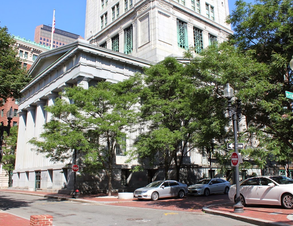
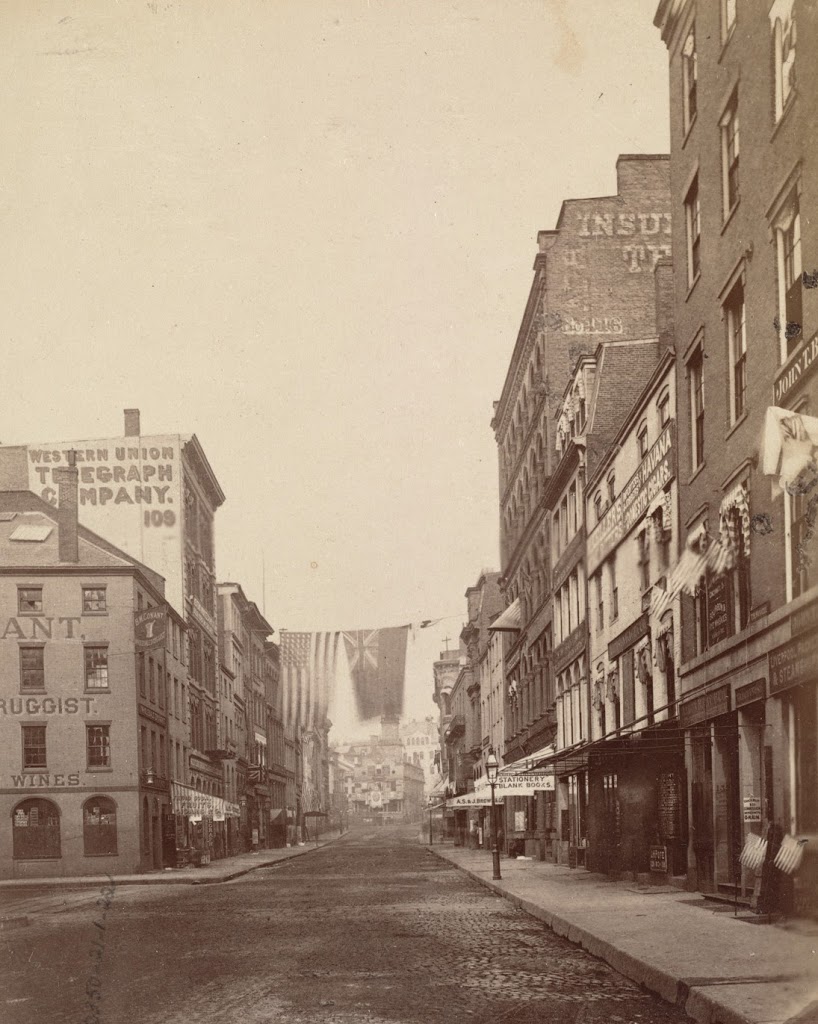
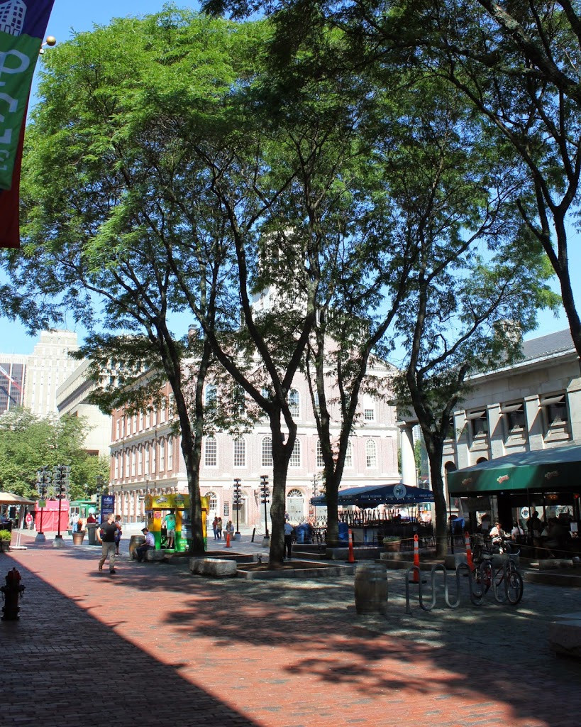
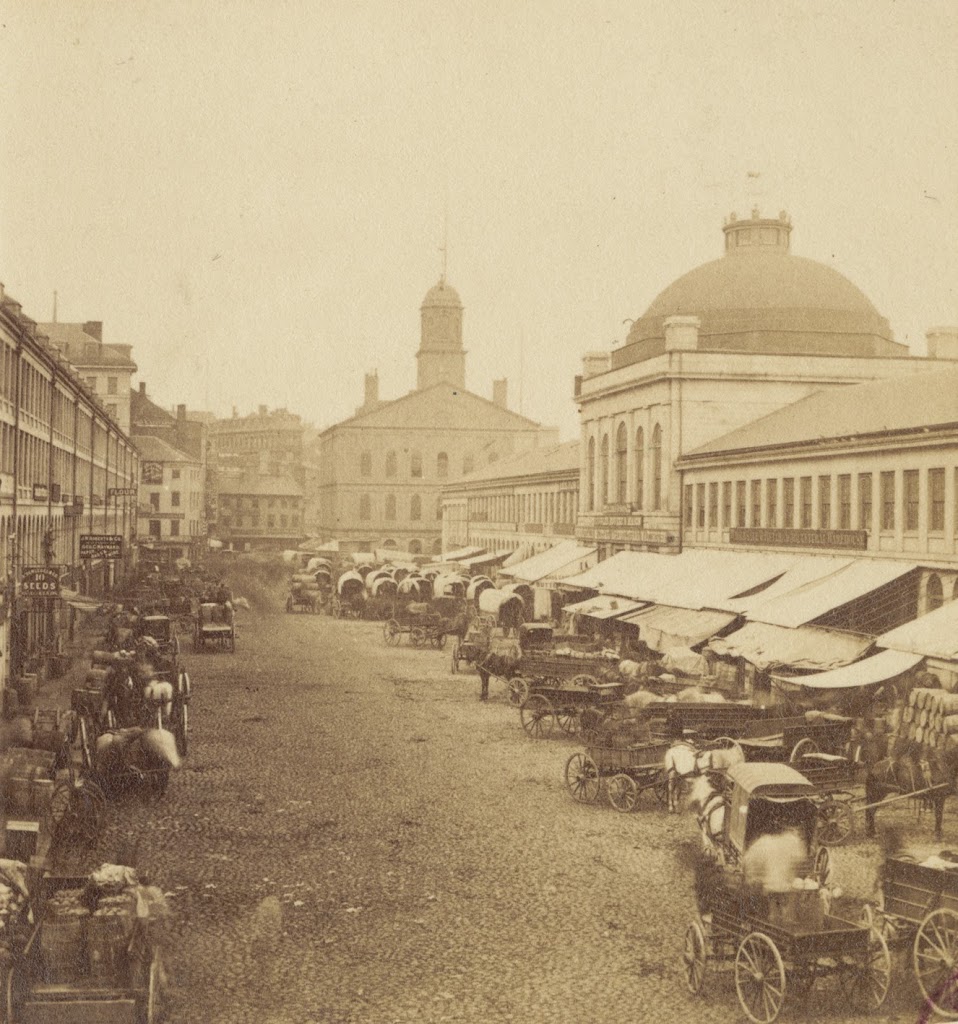
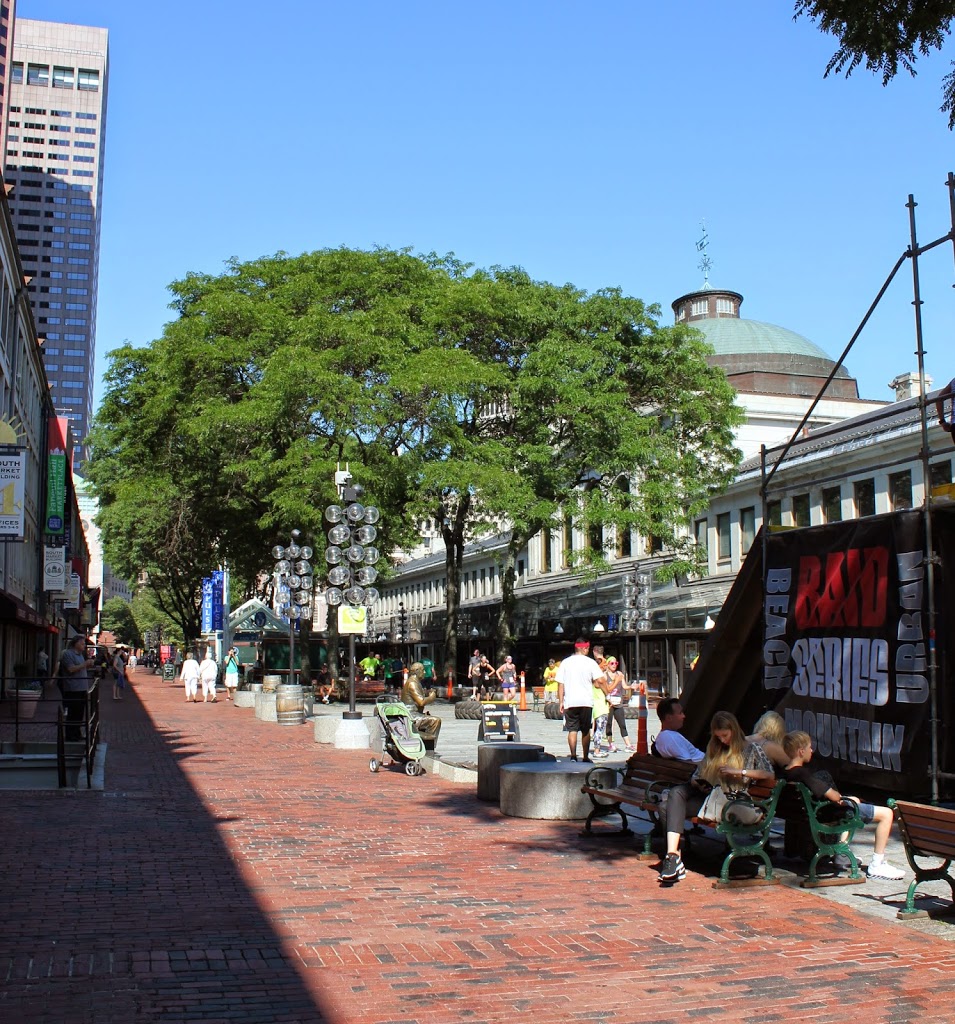
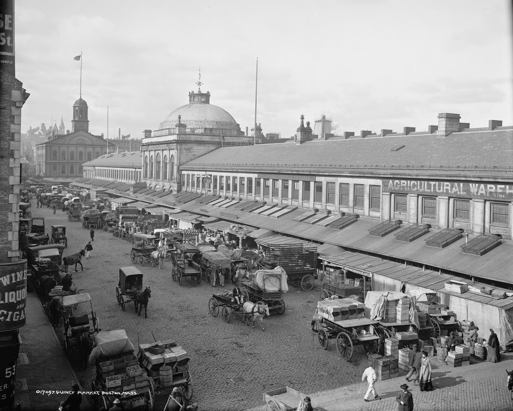
Although no longer used as a US Customs office, the Custom House still looks much the same as it did when it was completed in 1849, aside from the addition of a 32-story skyscraper on top of it.  When it was built, it was on the waterfront, roughly level with Quincy Market, which was also located along the water.  It was a convenient location, as it facilitated the inspection of ship cargoes.  Today it is several blocks away from Long Wharf, but it continued to be used by Customs for many years.

By the time the first photo was taken, the increase in shipping to Boston necessitated expanding the Custom House, which led to the construction of the Custom House Tower in 1915. At the time, Boston  restricted the height of buildings to 125 feet, but as a federal building it was exempt from these restrictions.  As a result, it was the tallest building in Boston until the completion of the Prudential Tower in 1964.  US Customs left the building in 1986, and it is now a Mariott hotel.

State Street, Boston

The view looking up State Street from Chatham Street, in 1875. Photo courtesy of Boston Public Library.

253_1875-bpl

The same view, around 1905. Photo courtesy of Library of Congress, Detroit Publishing Company Collection.

253_1905c-loc

State Street in 2014:

253_2014

These three views show the progression of high-rise buildings in Boston’s Financial District, with the 1875 photo showing mostly 4-5 story brick buildings, followed by taller buildings in the turn-of-the-century photo, and finally the modern steel and glass skyscrapers in the 2014 photo.  One constant in all of the photos, though, is the Old State House, which predates even the first photo by over 150 years (consider that – in the 1875 photo, the building was closer in time to the present day than to the year it was built).  It’s remarkable to be able to see it in all three photos, though, because the views clearly show the colonial-era building steadily becoming dwarfed by its surroundings.

Another building (possibly the only other one) visible in all three photos is the Western Union Telegraph Company building (the one with the company’s name painted on the side in the photo).  It was brand-new in the 1875 photo, having been built approximately a year earlier, and it stood out among its neighbors.  Today, it’s still there, although extensively modified and barely noticeable, and is probably the shortest building on either side of State Street in this view.

Faneuil Hall and Quincy Market, Boston

The east face of Faneuil Hall, with Quincy Market to the right, taken in 1875.  Photo courtesy of Boston Public Library.

252_1875-bpl

The same view in 2014:

252_2014

Compare with the photos in this post, wheich show Faneuil Hall a little closer and about 20 years after his 1875 photo was taken.  Faneuil Hall and Quincy Market are still there, having been built in 1742 and 825, respectively.  However, the scene is very different in the background.  Boston’s massive City Hall building is just beyond and to the left of Faneuil Hall, with other modern skyscrapers behind it.  This was once the Scollay Square neighborhood of Boston, which was completely demolished in the 1960s to build City Hall and the surrounding buildings, with the neighborhood being renamed Government Center.

Quincy Market, Boston (3)

Quincy Market, facing west toward Faneuil Hall, sometime in the 1800s.  Photo courtesy of Boston Public Library.

251_1800sc-bpl

The scene in 2014:

251_2014

Another view of Quincy Market, showing the difference between the business-oriented market in the 1800s, and the tourist-oriented scene today.  In this particular 2014 view, it was taken during the Urban Raid, a 5k race and obstacle course that went through the City Hall area of Boston.

Quincy Market, Boston (2)

Another Quincy Market scene, facing west, looking toward Faneuil Hall, around 1904. Image courtesy of the Library of Congress, Detroit Publishing Company Collection.

Boston

The same scene in 2014:

250_2014

Another view of Quincy Market, with the 1904 photo showing the various food vendors outside the building.  Today, the market is oriented toward tourists instead of Boston residents, although the exterior of the building is largely the same.  The South Market building, on the extreme left-hand side of the photos, is also there, as is the corresponding North Market building on the opposite side of Quincy Market.

Quincy Market, Boston (1)

The view of Quincy Market looking east from in front of Faneuil Hall, sometime in the 1800s.  Photo courtesy of Boston Public Library.

249_1800sc-bpl

The same view of Quincy Market in 2014:

249_2014

Built in 1825, Quincy Market has been a major commercial center for nearly 200 years.  However, its role and the surrounding neighborhood have certainly changed.  Originally, as seen in the first photo, it was a place for Bostonians to buy and sell food products, ranging from fruits and vegetables to cheese and meat.  It was also built right along the waterfront; today it is several blocks from Boston Harbor.  But, the building hasn’t moved – the waterfront has.  Over the years, Boston has significantly expanded its land area, both through annexing surrounding towns but also through landfill, which included dumping dirt, rocks, construction debris, and even old ships into the harbor and building atop it.

Because of that, Quincy Market is no longer has a waterfront location, but it is still a commercial center, although today it consists of fast food vendors that primarily cater to tourists and workers from nearby City Hall.  The Quincy Market area also offers shopping, gift stores, and in this particular scene, photos with Spider-Man.  It is also located along the Freedom Trail, which is marked by the brick path in the foreground.