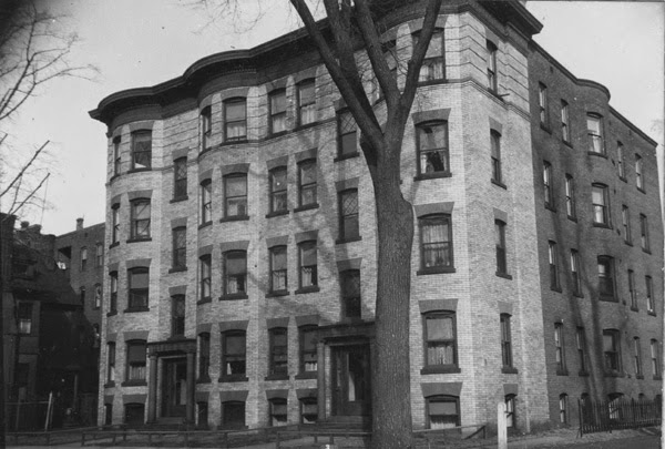
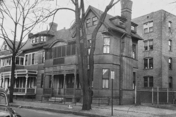
The building at 95-99 Elliot Street in Springfield, around 1938-1939. Photo courtesy of Springfield Preservation Trust.
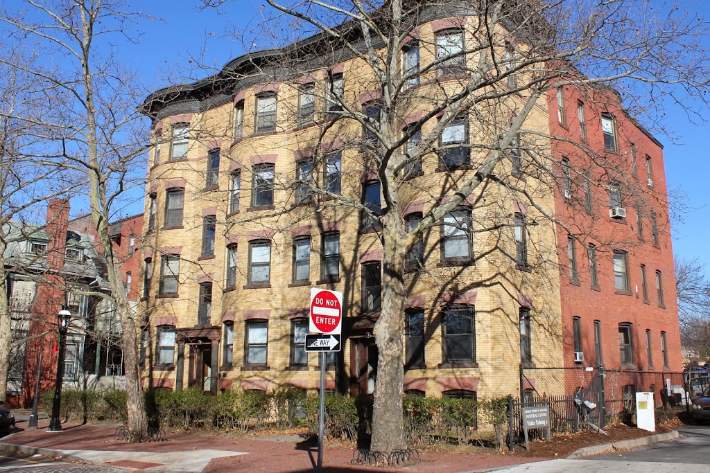
The building in 2014:
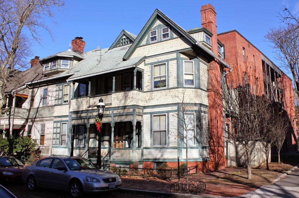
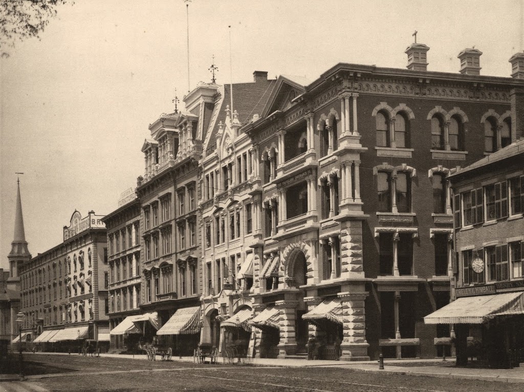
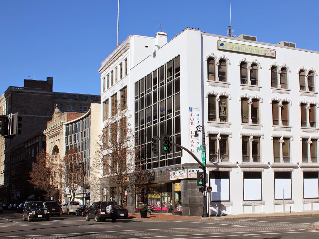
Known as the Edward B. Barton House, this duplex at the corner of Elliot and Salem Streets was built in 1887. It was originally home to Edward B. Barton, a traveling shoe salesman, and William H. Wright, the owner of Massasoit Cigar Manufactory and Store. Today, aside from a few minor changes with the porches, the house doesn’t look all that different from its appearance in the late 1930s. Like other historic properties on Elliot Street, it is located within the Quadrangle-Mattoon Street Historic District.