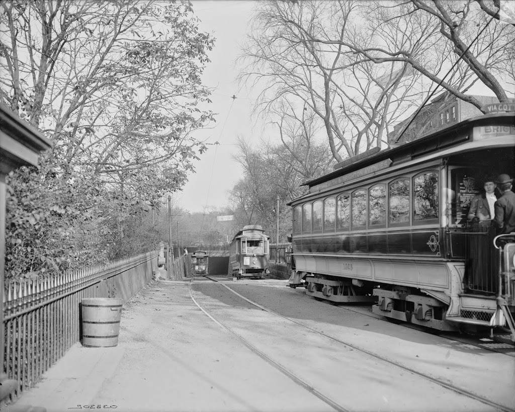
Trolleys at the Public Garden Incline at the corner of Boylston and Arlington Streets in Boston, around 1910-1911. Image courtesy of the Library of Congress, Detroit Publishing Company Collection.
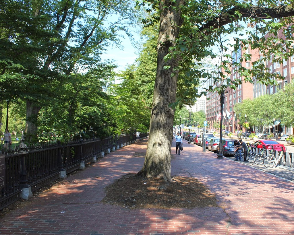
The scene in 2014:
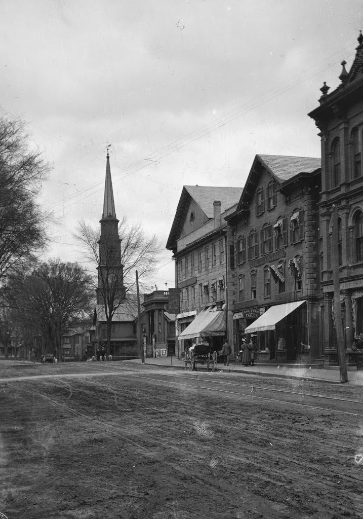
These were taken from near the location of the photos in this post, showing trolleys entering and emerging from the Tremont Street Subway onto Boylston Street. The car on the right-hand side is returning from Brookline Village, and the one on the left is heading toward Huntington Avenue, along the modern-day E Branch of the Green Line. This car is particularly intriguing, because one of the flyers on the front reads “Baseball to-day American League Huntington Avenue,” The exact date of this photo isn’t clear, and the Library of Congress estimates that it was taken between 1910 and 1920, but this little flyer indicates that it couldn’t have been any later than 1911, the last year that the Red Sox played at Huntington Avenue before moving to Fenway Park. Many of the people on the trolley are probably fans heading to the game, and will likely see future Red Sox legends such Smoky Joe Wood, Tris Speaker, and Harry Hooper. Today, Red Sox fans still travel along this route to get to the game, although the incline that the trolleys once emerged from has been closed for a century, and no evidence remains on the surface that it ever existed.