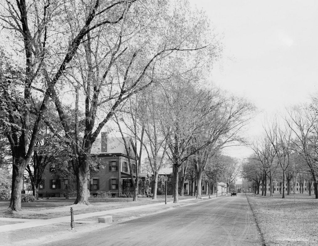
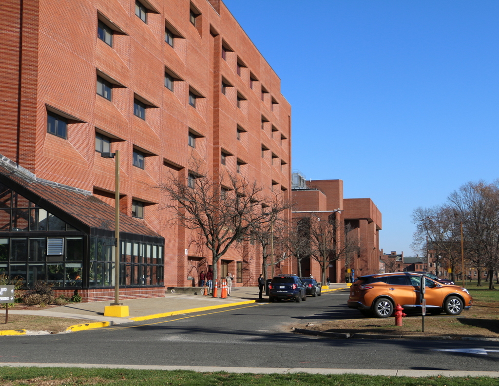
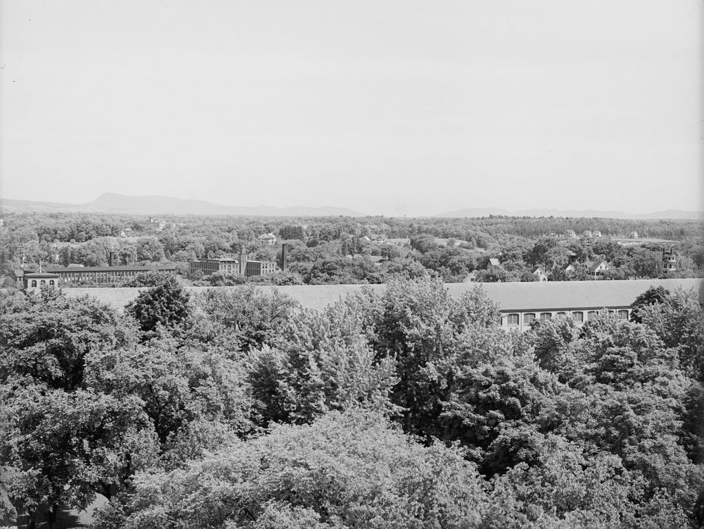
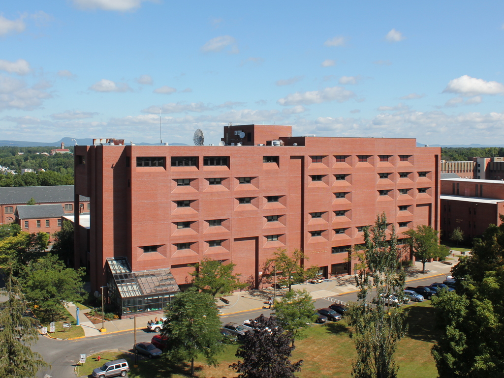
View from the Arsenal Tower, Springfield, Mass (5)

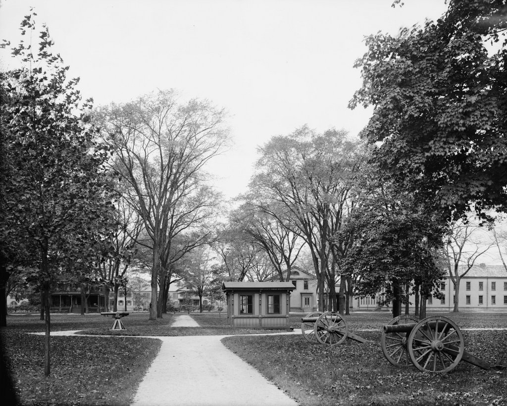
Another view looking north from the top of the Arsenal at the Springfield Armory, around 1900-1910. Image courtesy of the Library of Congress, Detroit Publishing Company Collection.

841_1900-1910c loc

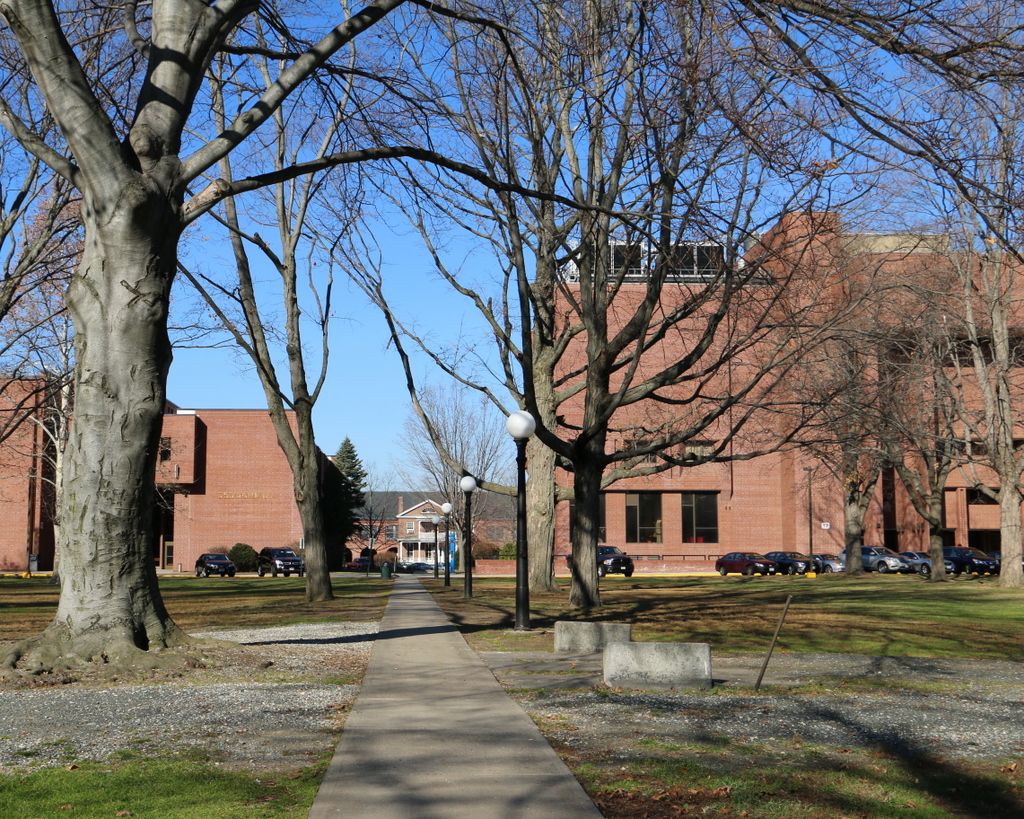
The view in 2015, photographed with permission from the Springfield Armory National Historic Site.

841_2015
This scene shows the view looking just a little further to the right than this earlier post, and it shows how both the Springfield Armory and the Liberty Heights neighborhood in the distance has changed over the past century. Aside from the Armory’s Long Storehouse in the foreground, the first photo shows sporadic development throughout the area, with the most noticeable buildings being the factories on the left side. The factories were located along Warwick Street, with the Cheney Bigelow Wire Works on the far left, and the Taber Prang Art Company closer to the center. Beyond them, scattered houses illustrate the early stages of development in the Liberty Heights area, with Mount Tom as a backdrop in the distance.

In the 2015 view, the most obvious change is the building in the foreground. The Springfield Armory closed in 1968, and the grounds became home to Springfield Technical Community College. Most of the former Armory buildings were converted into classroom and office space for the college, but there were also a few new buildings that were constructed for the school, including Scibelli Hall, as seen here. Not much is visible in the distance in the 2015 view, but most of the old factories on Warwick Street from the first photo are still standing. One prominent Liberty Heights landmark that was built after the first photo was taken is the Our Lady of Hope Church, which was built in 1925 and can be seen in the distance just to the left of Scibelli Hall.

For other then and now views from the Arsenal tower, see the earlier posts showing the view facing southwest, west, northwest, and south.

USS Detroit at Boston Navy Yard

The cruiser USS Detroit in Dry Dock 2 at Boston Navy Yard, on December 16, 1928. Image courtesy of the Boston Public Library, Leslie Jones Collection.

835_1923-1934c bpl

The scene in 2015:

835_2015
Taken about 23 years after the photo in the previous post, this view of Dry Dock 2 shows the USS Detroit (CL-8), an Omaha-class light cruiser, undergoing work at the Boston Navy Yard. The Detroit had been built in nearby Quincy, Massachusetts, and was commissioned in 1923. Several years after the first photo was taken, she was transferred to the Pacific, and was based out of San Diego before being moved to Pearl Harbor in 1941. She was present during the attack on Pearl Harbor on December 7, and survived the battle without any damage, and went on to see extensive service in World War II, including being present in Tokyo Bay for the surrender in 1945. Following the war, though, the Detroit was sold for scrap in 1946, along with many other obsolete surplus ships.

The Boston Navy Yard, as mentioned in the previous post, closed in 1974, and part of it was taken over by the National Park Service. Today, many of the historic buildings and other structures have been preserved, including Dry Dock 2 and some of the buildings in the distance. One of the most distinctive buildings in the yard is the octagonal Muster House, which can be seen just to the left of the ship. It was built in the 1850s, and it is still standing today, partially hidden by trees in the distance. The long building in the center of the photo has also been preserved and repurposed; it is now the MGH Institute of Health Professions.

USS Maryland at Boston Navy Yard

The cruiser USS Maryland in Dry Dock 2 at the Boston Navy Yard, around 1905. Image courtesy of the Library of Congress, Detroit Publishing Company Collection.

834_1905c loc

The scene in 2015:

834_2015
The first photo shows Dry Dock 2 at the Boston Navy Yard, which was completed in 1905, not long before the first photo was taken. It was part of a large expansion of the facility, and it supplemented the much older and smaller Dry Dock 1. At 750 feet long, it could accommodate the Navy’s newest ships, including the Maryland, a Pennsylvania-class armored cruiser that, like the dry dock, was completed in 1905.

In the years after the photo was taken, the Maryland was eventually renamed the Frederick to free up the name for a new battleship, and the ship served in World War I. Like many other early 20th century American warships, though, the ship’s service history was brief. She was decommissioned in 1922, and sold for scrap in 1930.

As for the Boston Navy Yard, it remained in use throughout World War I, World War II, and beyond. It was finally closed in 1974, and part of it was taken over by the National Park Service as part of the Boston National Historical Park. Dry Dock 2 is just outside the park limits, but it is still intact, including the pump house, the small round building directly in the center of the 2015 photo. Just to the left of the pump house is Flagship Wharf, one of several modern condominium complexes that have been built on parts of the former navy yard.

For another scene of Dry Dock 2 in use, see the historic photo in this post, taken in 1929.

Mount Vernon Place, Boston

Mount Vernon Place, seen from Joy Street in Boston around 1860. Image taken by Josiah Johnson Hawes, courtesy of the Boston Public Library.

829_1860 bpl

Mount Vernon Place in 2105:

829_2015
Mount Vernon Place is a short street in Boston’s Beacon Hill neighborhood, located just west of the Massachusetts State House. It was once a full block long, and was developed in the 1830s on land that had once been owned by John Hancock and his family. As the 1860 photo shows, the street had a small park on the left side and eight townhouses on the right, and at the end of the street was the State House. The five houses closest to the State House were demolished in the 1910s when the building was expanded, and today only the three in the foreground survive. These three were built around 1833-1834, and have been largely unaltered on the exterior since then. They are among the many historic early 19th century townhouses that have become a defining feature of Beacon Hill, and they form a part of the Beacon Hill Historic District on the National Register of Historic Places.

Beacon Hill Reservoir, Boston

The reservoir atop Beacon Hill in Boston, around 1860. Image taken by Josiah Johnson Hawes, courtesy of the Boston Public Library.

828_1860 bpl

The scene in 2015:

828_2015
Long before the Wachusett and Quabbin Reservoirs, Boston’s municipal water supply was Lake Cochituate, a reservoir in Natick, Framingham, and Wayland. The project began in 1845, and it included not only creating the artificial lake, but also building a 14-mile long aqueduct that fed this stone reservoir atop Beacon Hill, just behind the Massachusetts State House. From here, the water was distributed throughout the city, using the hill’s elevation to carry the water downhill through the pipes. It occupied the majority of the block between Hancock, Derne, Temple, and Mt. Vernon Streets, and it had a capacity of over 2.6 million gallons.

The structure’s cornerstone laying ceremony in 1847 included a time capsule, which contained several publications and two silver plates, perhaps in the hope that, like the great Roman aqueducts in Europe, this public water supply structure would last for thousands of years. However, as it turned out, it lasted for less than 40. It closed by about 1880, and around three years later it was demolished to build a large expansion of the Massachusetts State House, which now occupies the site where this reservoir once stood.

Bowdoin Square Baptist Church, Boston

The Bowdoin Square Baptist Church in Boston, around 1860. Image taken by Josiah Johnson Hawes, courtesy of the Boston Public Library.

825_1860c bpl

Bowdoin Square in 2015:

825_2015
This scene shows Bowdoin Square facing the opposite direction from the one in the previous post, facing east on Cambridge Street toward Government Center. The most prominent building in the first photo is the Bowdoin Square Baptist Church, a Gothic Revival style church that was built in 1840. Its design is very similar to several other churches that were built in Boston around the same time, including the old Trinity Church on Summer Street and the nearby Bowdoin Street Congregational Church, which is still standing today as the Saint John the Evangelist Mission Church.

The church here at Bowdoin Square gained some notoriety in 1885, when the congregation split after the pastor, William W. Downs, was found in what was alleged to be a “compromising position” with a woman from his church. The scandal was well-publicized in newspapers across the country, and the church split into two factions, with one supporting his removal and the other believing his claims that he was the victim of a conspiracy. He was eventually dismissed from his position, and the church closed, but he maintained his innocence and several years later won a lawsuit against his accusers, with the jury awarding him $10,000 in damages.

Following the Downs scandal, the church became the Bowdoin Square Baptist Tabernacle, and it was extensively remodeled on the exterior and interior in 1898. However, the church sold the building in 1916 to the New England Telephone and Telegraph Company. Around 1930, they demolished the church and the neighboring Coolidge Building to the right, in order to build their new Boston headquarters, which is still standing in the 2015 photo. None of the other buildings remain from the 1860 photo, either; most of this section of Boston was demolished in the 1950s and 1960s as part of the West End and Government Center urban renewal projects.