John Brown’s Fort, Harpers Ferry, West Virginia

The fire engine house at the Harpers Ferry Armory, more commonly referred to as “John Brown’s Fort,” as seen around 1860. Image courtesy of the Library of Congress, Civil War Collection.

732_1860c loc

The same view in May 1939. Image courtesy of the Library of Congress, FSA/OWI Collection.

732_1939-05 loc

The scene in 2015:

732_2015 loc
This small, seemingly nondescript building was built in 1848 at the entrance to the Harpers Ferry Armory, and was used as a guard house and fire engine house.  Normally, such a building would not be the subject of an 1860s stereocard, but it gained widespread fame just a few years earlier, due to its role in John Brown’s raid on the armory.

On October 16, 1859, northern abolitionist John Brown led a group of 22 men who attempted to take the armory and start a slave rebellion. They succeeded in taking the armory, and took a number of Harpers Ferry citizens hostage, but the plan quickly unraveled and they ended up barricading themselves in this building, surrounded by local militiamen and other armed townspeople.  Eventually, Colonel Robert E. Lee, still fighting in the US Army at the time, led a detachment of Marines, who succeeded in taking the building and capturing John Brown and most of his men.

To many northern abolitionists, John Brown was a hero, but to southern slaveowners he was a dangerous radical and a criminal. He was executed on December 2 in nearby Charles Town, but the failed raid helped to set the Civil War in motion a little over a year later.  The first photo was probably taken within three years of the raid, and in it the building still bears some of the scars from the fight.

Unlike most of the armory buildings, this one actually survived the war, and over time it became a tourist attraction and a symbol of the abolitionist movement. However, many residents feared that it would become a major draw for African-Americans to visit the town, so they were looking for ways to get rid of it.  Finally, in 1891 the owners decided to dismantle the fort and reassemble it at the World’s Columbian Exposition in Chicago.  It was a colossal failure at the exposition, though; the move cost $60,000, and just 11 people paid the 50 cent admission fee to view the fort.

The fort underwent further dismantlings and reconstructions, before eventually moving to its present-day site about 150 feet to the right of here.  However, it doesn’t have much real historic value, because of the number of times it has been reconstructed and the amount of original materials that has been lost over time.

After the fort was moved from here, the Baltimore & Ohio Railroad built new railroad embankments through the site of the fort, so today it is at a substantially higher elevation than it was in the first photo.  The monument, seen in the last two photos, was added by the railroad and marks the original location.

Harpers Ferry, West Virginia (2)

The town of Harpers Ferry, photographed around 1862. Image courtesy of the Library of Congress, Civil War Collection.

731_1860c loc

The view in 2015:

731_2015 loc
These two views of Harpers Ferry are remarkably similar, considering how much damage the small town sustained during the Civil War.  The Library of Congress estimates that this photo was taken around 1860, which seems a little too early.  This photo is half of a stereocard from a series called “War Views,” and since the war didn’t start until 1861, it seems unlikely that it was taken before then.  Instead, it was probably taken around 1862; the tents in the foreground were part of a “contraband camp” that the Union army established on the grounds of the former armory in March 1862 to house escaped slaves from the Confederacy.

A number of notable buildings are visible here, with the most prominent being the Armory fire engine house, better known as “John Brown’s Fort,” seen in the center of the photo and explained in more detail in this post.  To the left of the “fort” is the Gerard Bond Wager Building, a three and a half story brick building that was completed in 1838.  Prior to the Civil War it was used as a grocery and dry goods store, and it is still standing today and is operated by the National Park Service as a museum.

Beyond the Gerard Bond Wager Building is St. Peter’s Roman Catholic Church, which was built in 1833 and is still standing today, although with some extensive alterations.  It survived the Civil War, but it was renovated in 1896 to bring its exterior in line with the then-popular Neo-Gothic architectural style.  The original brick walls were replaced with granite, the steeple was removed, and a new asymmetrical facade was built with a taller steeple on the left side.

Another church in the original scene was St. John’s Episcopal Church, seen on the top of the hill to the right.  It was built in 1852 and sustained damage during the war, eventually being repaired in 1882.  However, it was subsequently abandoned in 1896, and today the picturesque ruins are still there, although they are hidden from view by the trees in the 2015 photo.

The last of the prominent historic buildings in these two photos are the four in a row next to each other, seen just below St. John’s Episcopal Church.  All four are still standing today, and the left-most of these is the Harper House, which is the oldest surviving building in the lower town.  It was completed in 1782 by Robert Harper, the town founder who not coincidentally operated a ferry here.  He died the same year it was completed, and it was later used as a tavern, a private residence, and by the start of the Civil War as a tenement house, accommodating up to four families.  To the right of the Harper House is Marmion Hall, which was completed in 1833, and the last two buildings to the right were built in the 1840s as the Marmion Tenant Houses.  These last two were, prior to the war, rented out to armory workers, who were just a short downhill walk away from their jobs.

Today, railroad tracks cover much of the former armory site, and nearly all traces of the historic site are long gone.  However, the town that grew up here because of the armory is, for the most part, preserved in its pre-1860s appearance.  Much of the lower town is now part of the Harpers Ferry National Historical Park, and is run by the National Park Service.

Armory at Harpers Ferry, West Virginia

The ruins of the Harpers Ferry Armory, photographed in October 1862. Image courtesy of the Library of Congress, Civil War Collection.

730_1862-10 loc

The scene in 2015:

730_2015 loc
Prior to the Civil War, Harpers Ferry was the location of one of the country’s two federal armories, with the other being in Springfield, Massachusetts.  Both sites were chosen by George Washington, and they had similar advantages.  Harpers Ferry and Springfield are both located on major rivers at the intersection of major transportation routes, but they are also located above the head of navigation on their respective rivers, preventing a naval attack from a foreign enemy.

In the first half of the 19th century, these two armories developed new ways to manufacture firearms, using machinery that mass-produced identical, interchangeable parts and that could be operated by unskilled workers.  By the start of the Civil War, there were over 15,000 guns stored here, which helped entice John Brown to lead a raiding party in 1859.  His goal was to start a slave rebellion by taking the arsenal and distributing the weapons to area slaves, and although the plan failed, it helped to spark the Civil War only a year and a half later.

By the time the first photo had been taken in October 1862, Harpers Ferry had already changed hands a number of times in the Civil War, and armies on both sides had steadily destroyed the buildings in order to prevent the other side from making use of them.  The ruins seen here are from the same building that can be seen on the right hand side of the 1861 photo in this post.

Around the time that the first photo was taken, the ruins had several notable visitors, including Abraham Lincoln, who toured the armory site in October, perhaps on the same day that the photo was taken.  Author Nathaniel Hawthorne also visited Harpers Ferry earlier in 1862, and wrote the following description in his essay “Chiefly About War Matters”:

Immediately on the shore of the Potomac, and extending back towards the town, lay the dismal ruins of the United States arsenal and armory, consisting of piles of broken bricks and a waste of shapeless demolition, amid which we saw gun-barrels in heaps of hundreds together. They were the relics of conflagration, bent with the heat of fire, and rusted with the wintry rain to which they had since been exposed. The brightest sunshine could not have made the scene cheerful, nor have taken away from the gloom from the dilapidated town; for, besides the natural shabbiness, and decayed, unthrifty look of a Virginian village, it has an inexpressible forlorness resulting from the devastations of war and its occupation by both armies alternately.

The town became part of West Virginia in 1863, and things were relatively stable here until the end of the war.  However, at that point the damage had been done.  The pre-war economy of Harpers Ferry had relied almost exclusively on the armory, but it was never rebuilt following the war.  The land was sold, and the Baltimore & Ohio built railroad tracks through part of the land, including the present-day railroad station, which was completed in 1889. Today, this area is part of the Harpers Ferry National Historical Park, and although there are no buildings still standing here from the armory, the interpretive signs help to give visitors an idea of what was once here.

84 Temple Street, Springfield, Mass

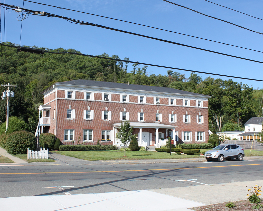
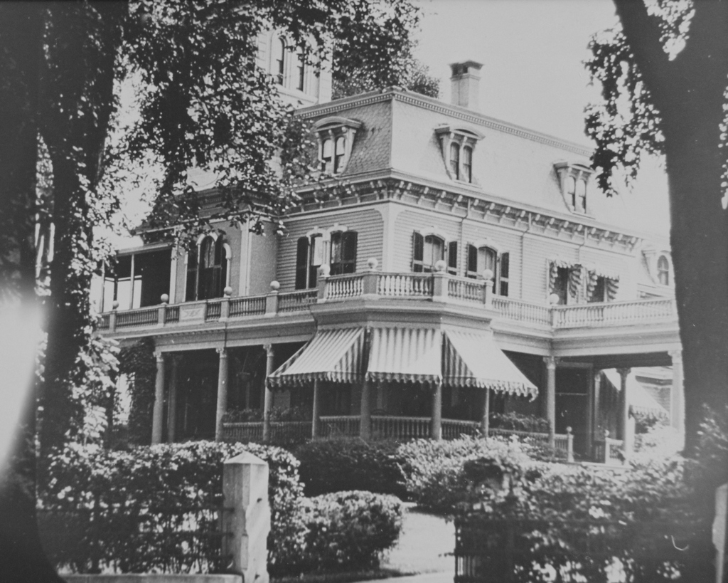
The house at 84 Temple Street in Springfield, around 1938-1939. Image courtesy of the Springfield Preservation Trust.

727_1938-1939 spt (84 temple)

The house in 2015:

727_2015
This Queen Anne style house was built around 1880, at about the same time as its nearly identical neighbor to the right.  One early owner of this house was W.H. Burrall, whose name appears on the 1882 city atlas.  He died before 1899, when the city atlas lists the house as belonging to his heirs, and he appears to be the same W.F. Burrall who co-owned Hawkins & Burrall, a Springfield-based bridge building company.  Along with this, his name also appears in historical records as a consulting engineer for the Boston & Albany Railroad.

727_former resident 1912c

By 1900, the house was owned by Louis C. Hyde, Springfield’s postmaster.  According to the 1900 census, this house was pretty crowded; he lived here with his wife, their son, two daughters, a daughter-in-law and son-in-law, two grandchildren, and three servants, for a total of 12 people in the house.  Hyde was featured in a 1913 volume of Automobile Journal, which mentioned that he was using a Springfield-built Indian motorcycle with a tricar attachment to deliver parcel post mail around the city.  The photo to the right was printed in the magazine, and shows him on the motorcycle.


82 Temple Street, Springfield, Mass

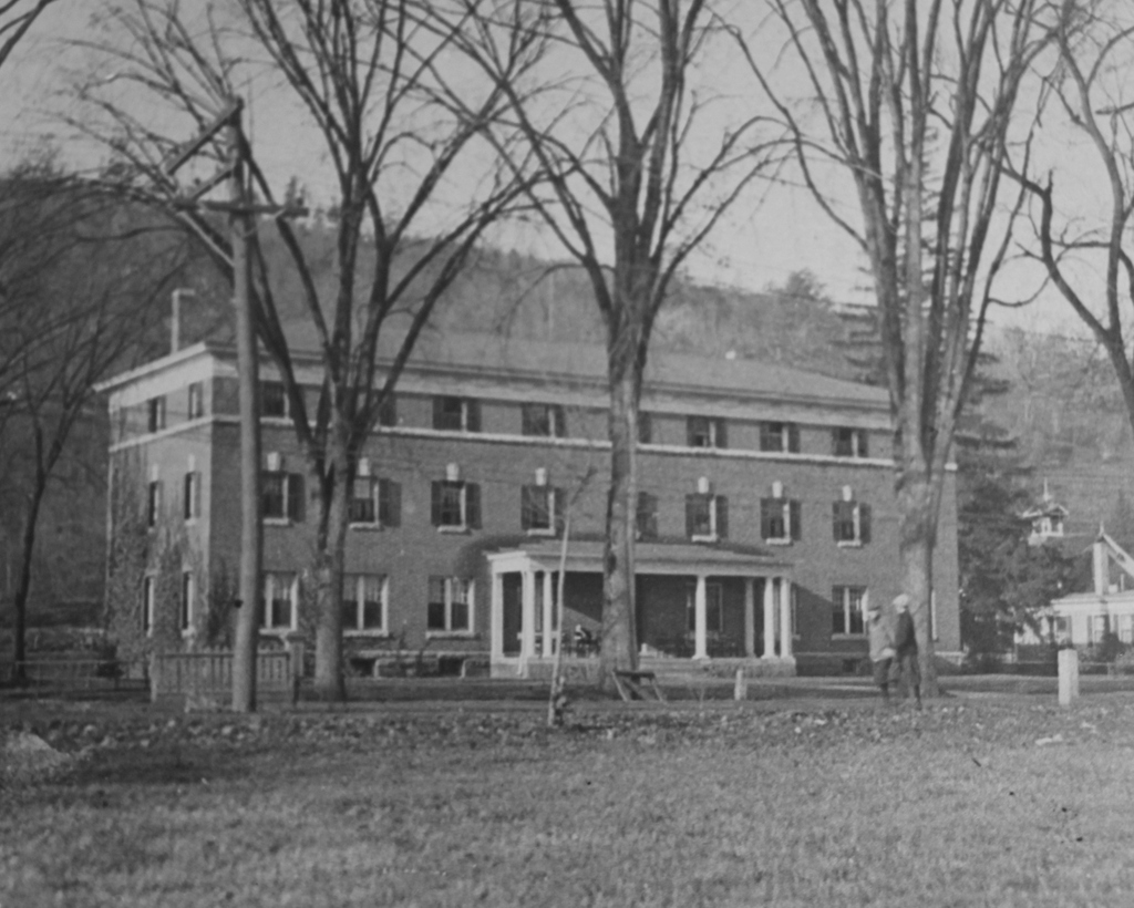
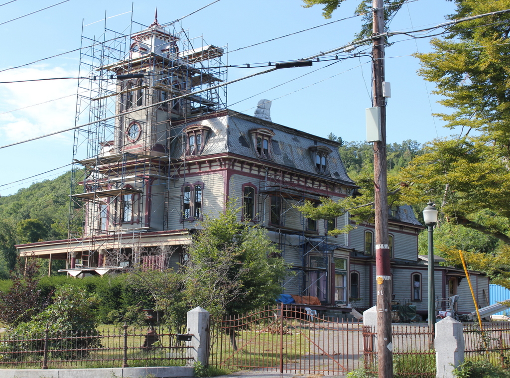
The house at 82 Temple Street, seen here around 1938-1939. Image courtesy of the Springfield Preservation Trust.

726_1938-1939 spt (82 temple)

The house in 2015:

726_2015
Compared to the first photo, this historic Queen Anne style house on Temple Street has seen better days, although it is being restored as of the July 2015 photo.  Both this house and its nearly identical neighbor to the left were built around 1880, at a time when this neighborhood was popular among upper middle class professionals such as bankers, lawyers, doctors, and businessmen.  In the early 1900s, this house was owned by Robert O. Morris, who served as the clerk of courts for many years, and was also a director of the United Electric Light Company, president of the Springfield Five Cents Savings Bank, and served in similar roles for several other area companies.  He was also an amateur ornithologist, and in 1901 he published a book, The Birds of Springfield and Vicinity.

Despite the changes in this neighborhood over the years, the 2015 photo shows that the house still retains many of its original decorative elements.  The windows are all new, the shutters have been removed, and the front porch is being completely replaced, but otherwise it still looks very similar to what it would have looked like when Robert O. Morris lived here a century ago.

25 Mattoon Street, Springfield, Mass

The building at 25 Mattoon Street, seen around 1938-1939. Image courtesy of the Springfield Preservation Trust.

725_1938-1939 spt (25 mattoon)

The building in 2015:

725_2015
This building is a little different from the rest of the houses on the south side of Mattoon Street. It was built in 1891, making it the newest on that side of the street. Unlike all of the others, it was built as an apartment building, and its Romanesque architecture is very different from the rest of the street. It is also known as the Yadow Building, because of the somewhat enigmatic “Yadow” inscription in the center of the parapet, and it is part of the Quadrangle-Mattoon Street Historic District on the National Register of Historic Places.