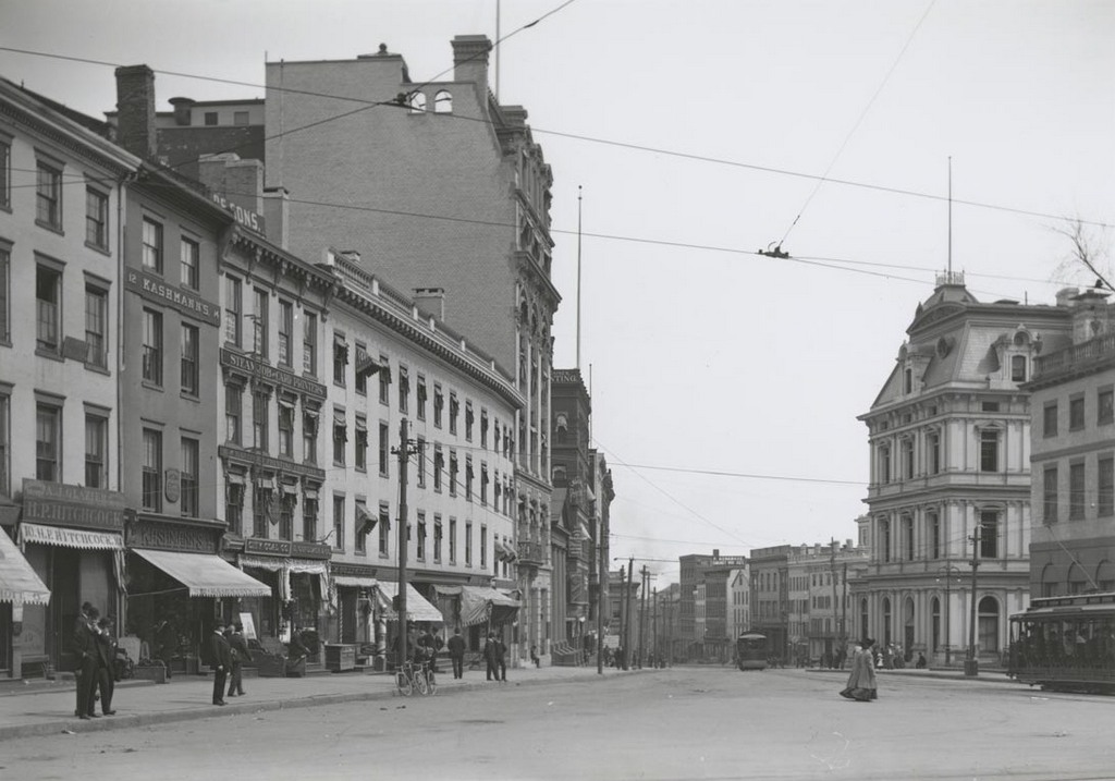
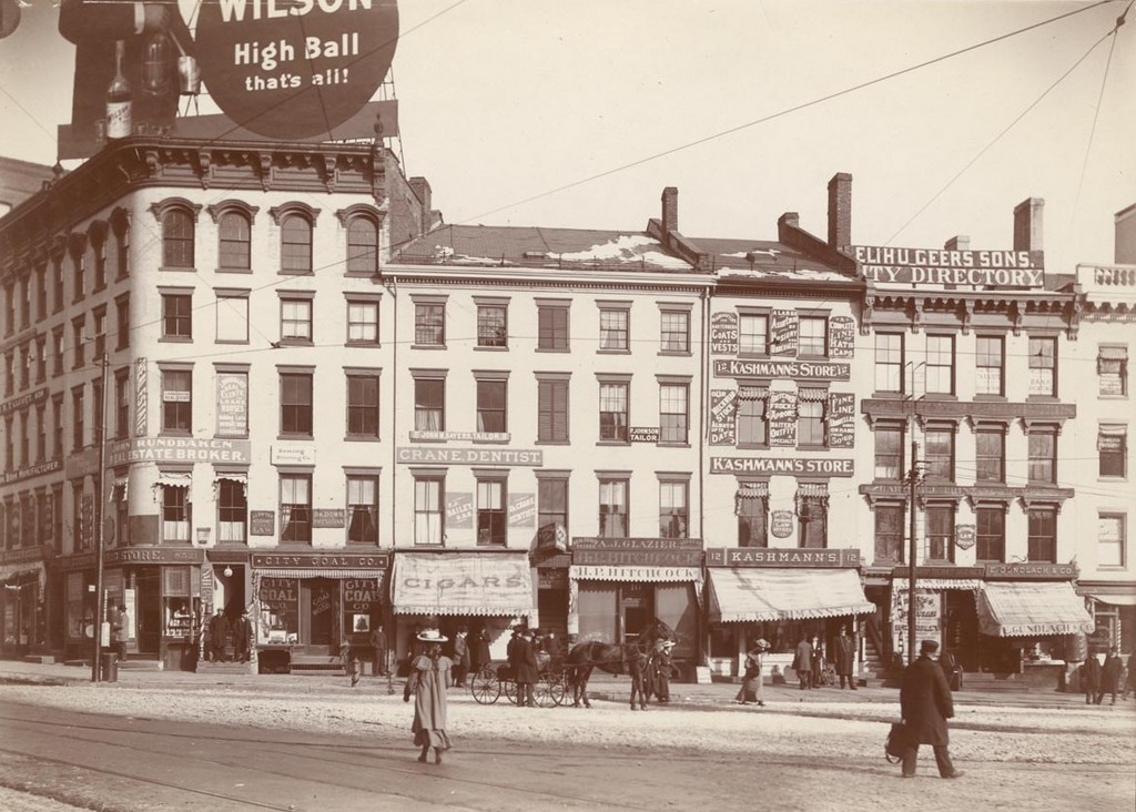
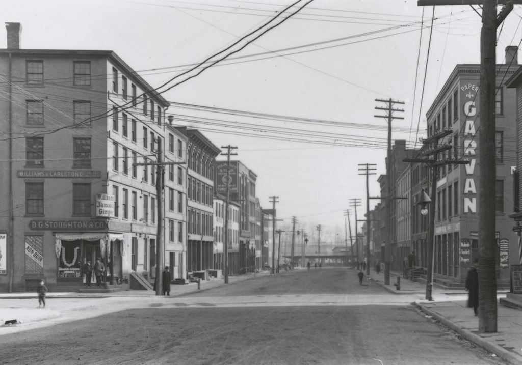
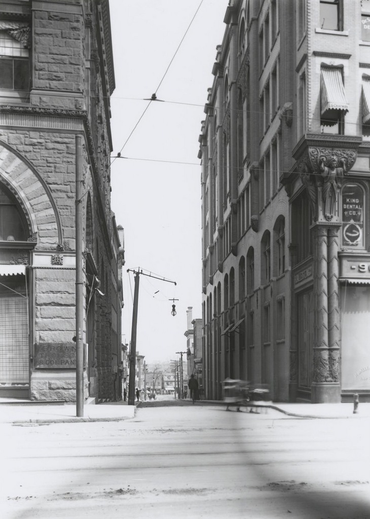
Looking east on Temple Street from Main Street, on April 22, 1906. Image courtesy of the Connecticut State Library.
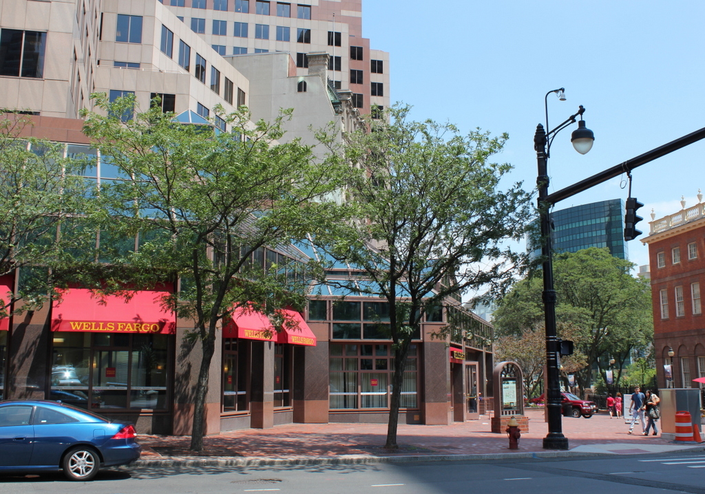
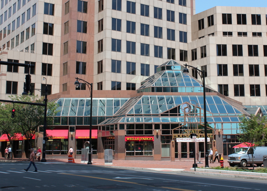
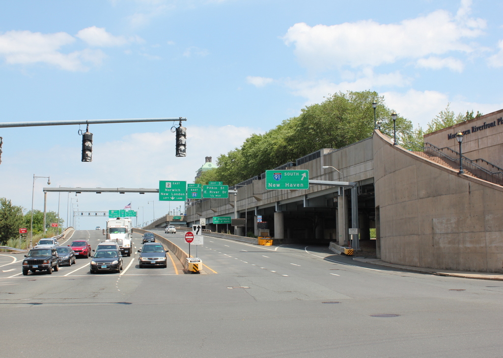
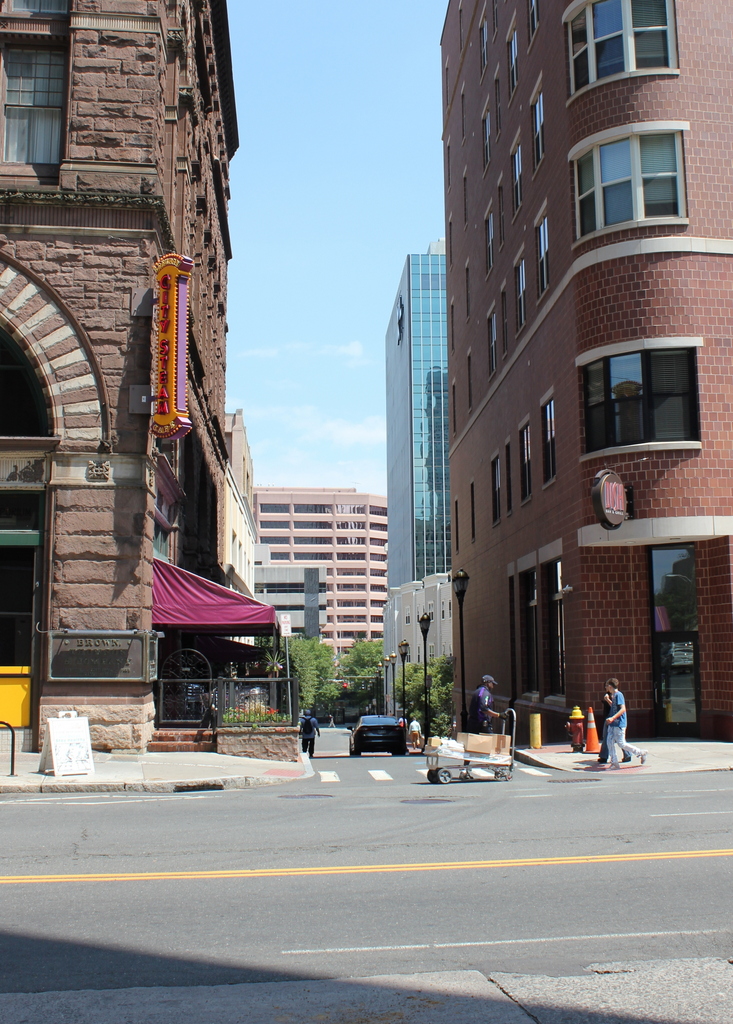
Temple Street in 2016:
Of all the street views that photographer William H. Thompson took in downtown Hartford during the early 20th century, there are very few buildings that survive today. One of the few is the Cheney Building, seen on the left here at the northeast corner of Main and Temple Streets. Only a small portion of this massive building is visible here, but it clearly shows the Romanesque details of the building, which was designed by prominent architect Henry Hobson Richardson. Although better known for grand public buildings such as churches, city halls, libraries, and railroad stations, he also designed some commercial buildings, including this one here, which was completed in 1876.
For many years, the Cheney Building was home to the Brown Thomson department store, and was one of several department stores along this section of Main Street. The company was later purchased by G. Fox, whose flagship store was directly adjacent to the building. G. Fox expanded into the Cheney Building, and remained here until the company closed in 1993. Today, although all of the 19th century buildings around it are long gone, the Cheney Building has been restored, and is now a Marriott hotel, with stores and restaurants on the ground floor.