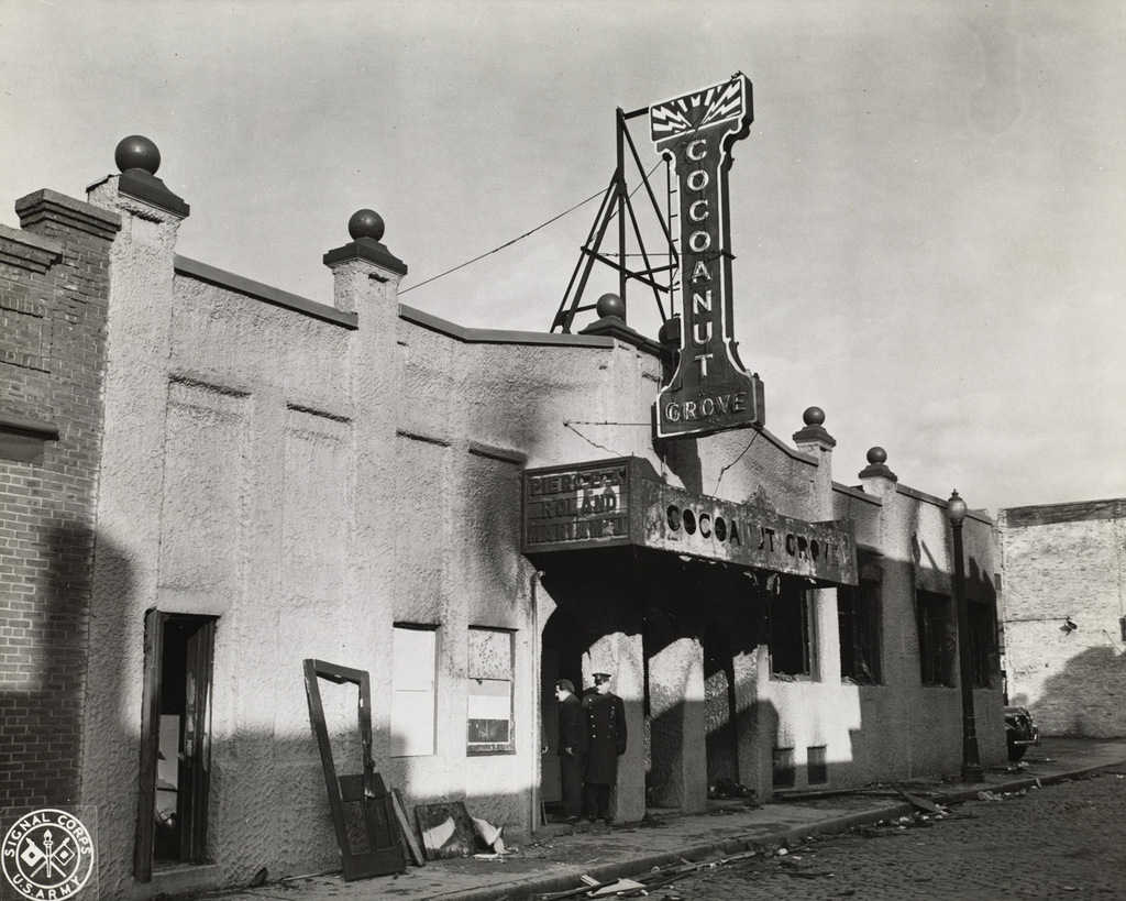
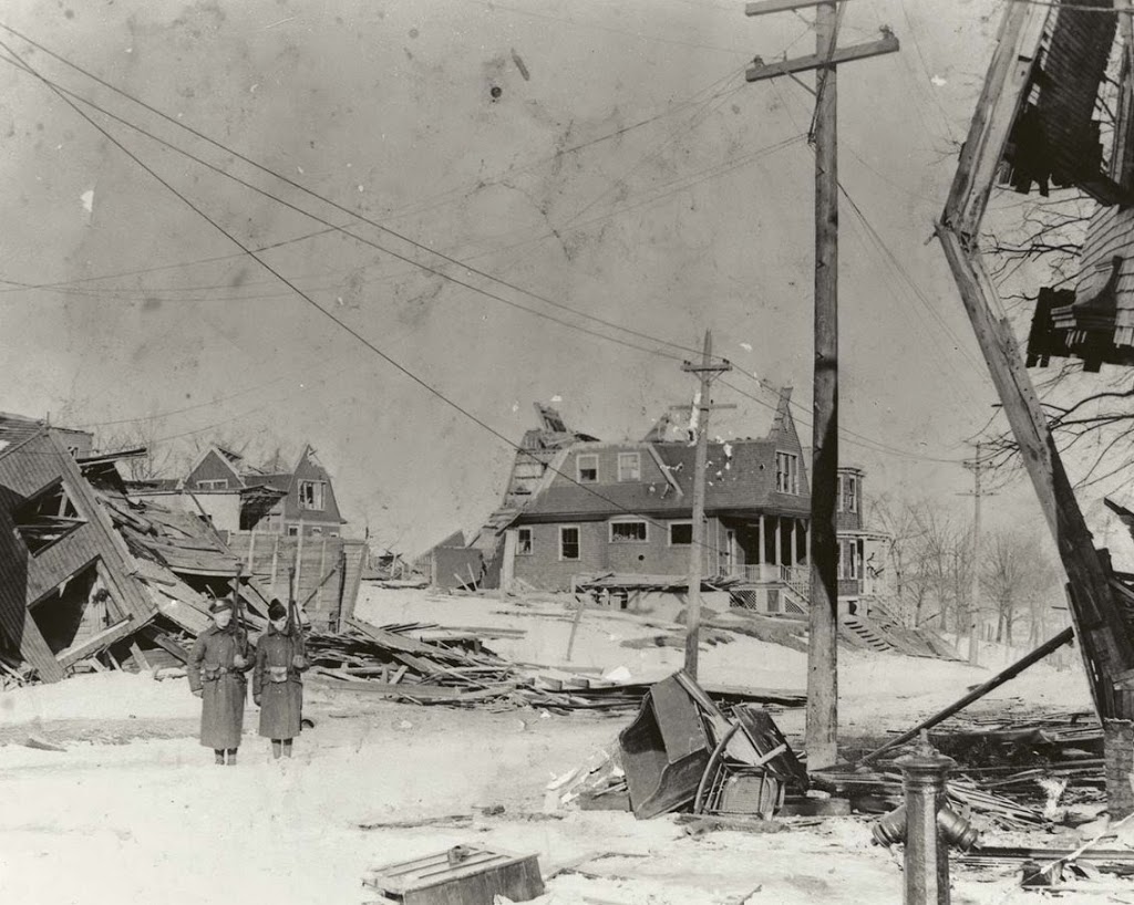
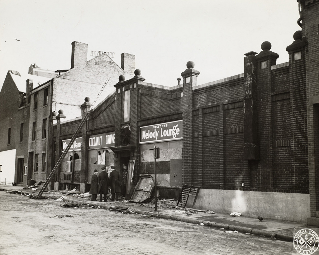
Another photo of the exterior of the Cocoanut Grove nightclub, in the aftermath of the November 28, 1942 fire. This view shows the club from the Shawmut Street side of the block. Image courtesy of the Boston Public Library.
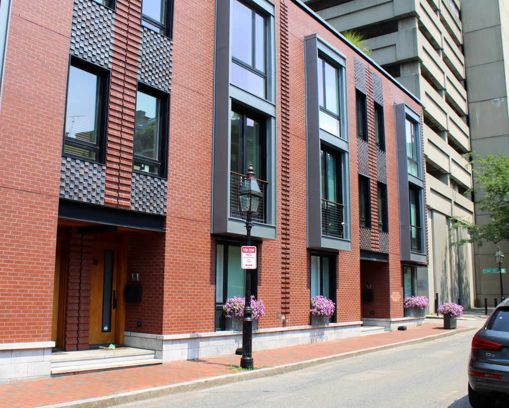
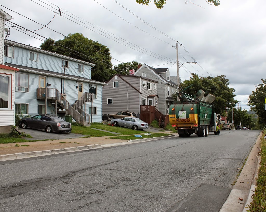
The scene in 2015:
As explained in the previous post, the Cocoanut Grove fire was the second-deadliest single-building fire in American history. The fire completely engulfed the nightclub in just five minutes, and 492 people were killed here. The previous post shows the original section of the club, which opened in 1927 on Piedmont Street. Over time, it expanded to include many different buildings in the block, including the building seen here, as well as the older brick buildings in the distance to the left. Taken from Shawmut Street on the other side of the block from Piedmont Street, the 1942 photo shows the entrance to the main dining room and dance floor. Signs above the windows also advertise for the Melody Lounge, a dimly-lit bar and lounge in the basement where the fire started.
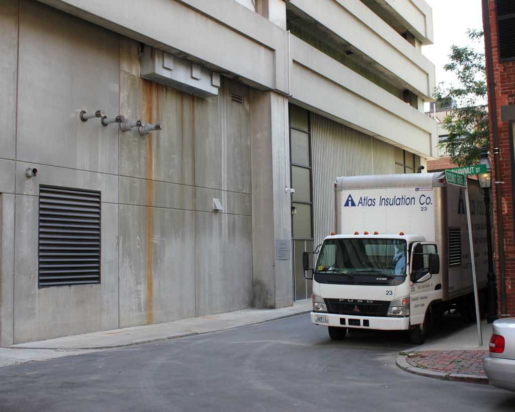
In the years following the fire, the neighborhood was completely changed. The building’s former footprint is now occupied by a parking garage and a condominium building that is under construction. A short street, appropriately named Cocoanut Grove Lane, now crosses through the former location of the main dining room, connecting Shawmut and Piedmont Streets. The only thing left from the 1942 scene is the building on the extreme right of both photos. Despite being located right next to the club, this 19th century brick rowhouse survived the fire, and later survived the city’s urban renewal projects later in the 20th century.