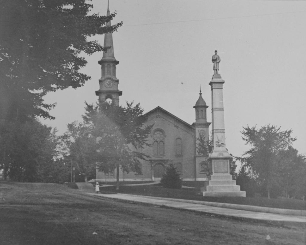
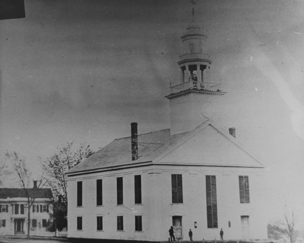
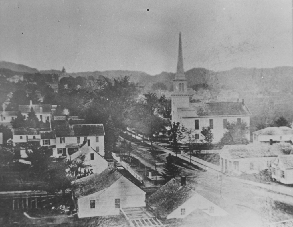
Looking north on Main Street in Monson from near Lincoln Street, in 1860. Image courtesy of the Monson Free Library.
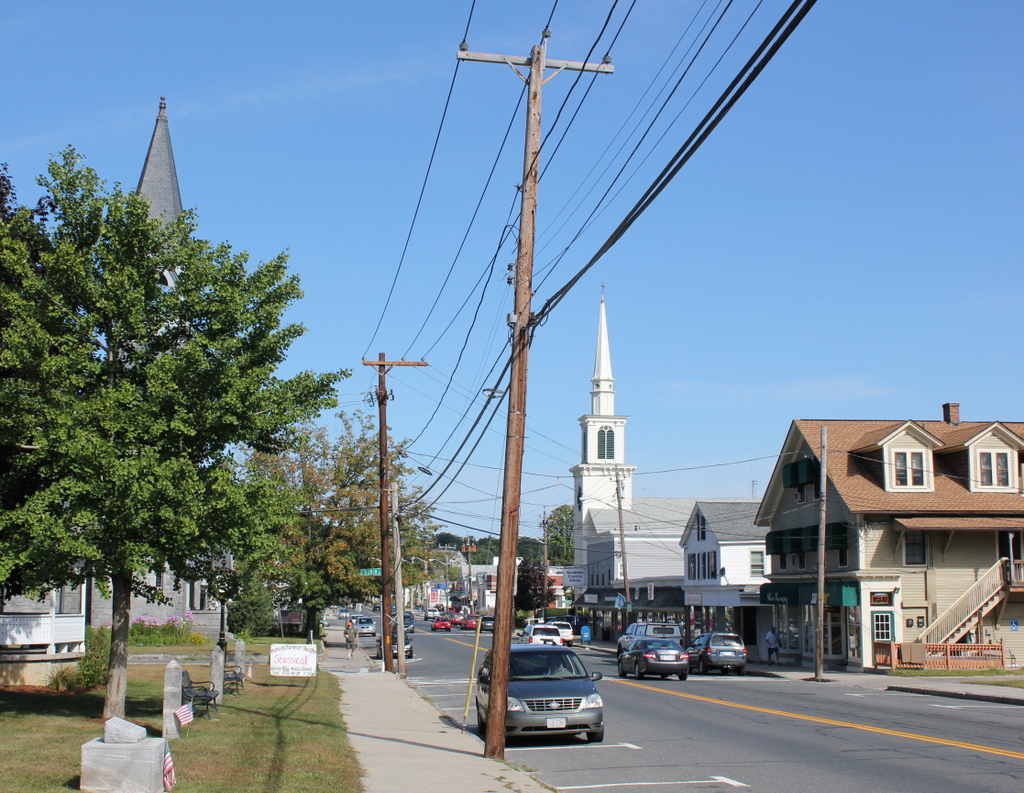
The scene in 2015:
The first photograph is among the earliest known images of Monson, and it shows a town in transition. Founded 100 years earlier, Monson’s development had been largely limited by geography. The town center, seen here, is located in a narrow valley with steep hills on either side, making large-scale farming impractical and transportation difficult. However, 10 years before the first photo was taken, a railroad was built through the town, just out of view to the left. This helped to spur industrial development, and in the second half of the 19th century the town’s population and economy grew thanks to a granite quarry, along with factories that produced textiles and hats.
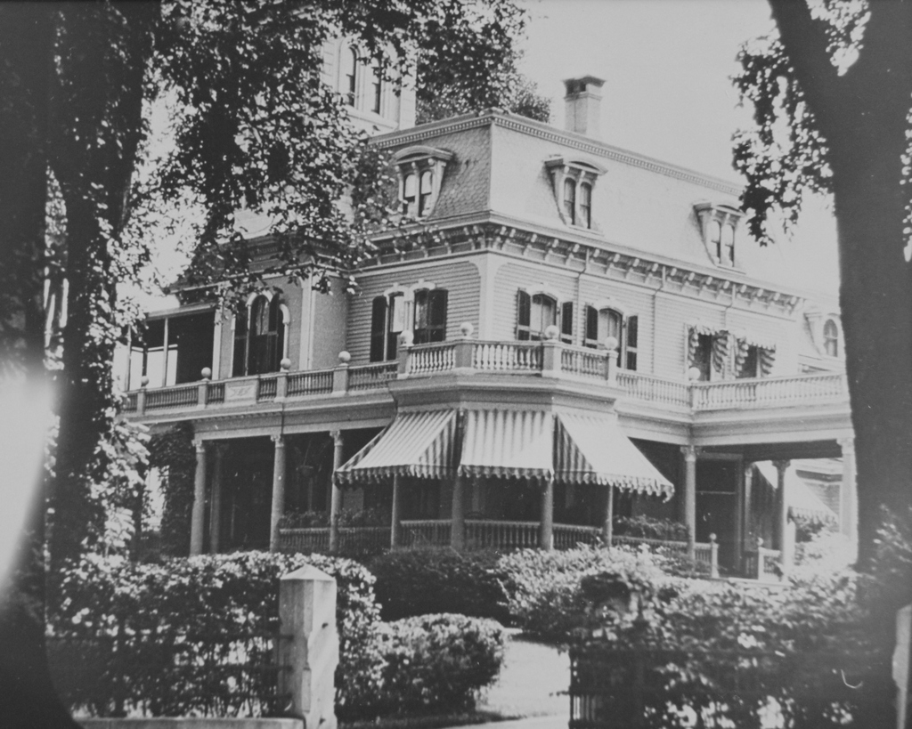
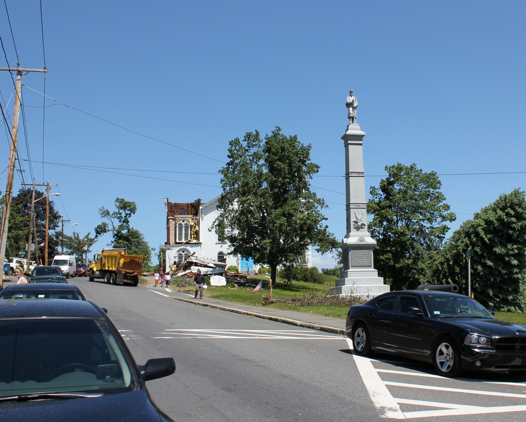
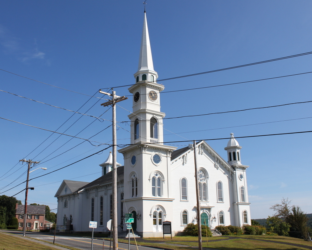
When the 1860 photo was taken, this section of Main Street was still mostly residential, but by the end of the century many of these homes would be demolished and replaced with commercial buildings, especially the older homes in the foreground. Other late 19th century changes included several new churches. The old meeting house, whose steeple can be seen in the distance to the left, was replaced by a larger church in 1873, and in 1889 the Universalist church was built at the corner of Main and Lincoln Streets; it can be seen to the left in the 2015 photo, partially hidden by the tree in the foreground.
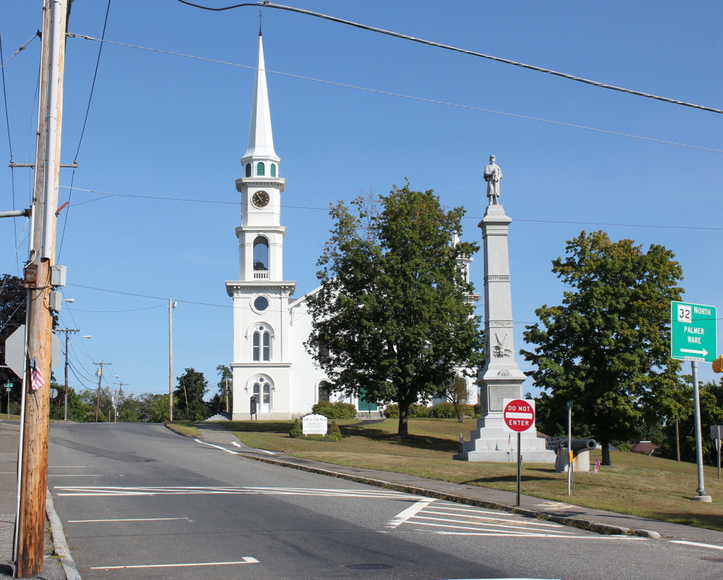
Despite all of the changes over more than 150 years, there are several buildings from the first scene that are still standing today. The most obvious is the Methodist church, which was built in 1850 at the corner of Main and Cushman Streets. Today, aside from a new steeple, it still looks essentially the same as it did in the 1860 photo. Further up Main Street, many early 19th century houses are still standing today, but only a couple are readily identifiable in the 1860 photo. The fourth house on the left is now the Unitarian-Universalist church parsonage, and it is located just beyond the present-day church and out of view from here. Beyond it on the far left is the Joel Norcross House, which had been built around 30 years earlier by Emily Dickinson’s grandfather. It is also hidden from view in the 2015 scene, but it is still standing and has since been converted into business and office space.