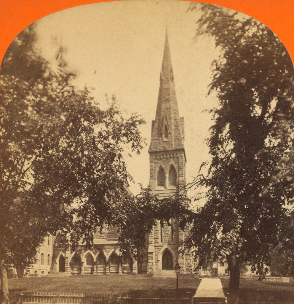
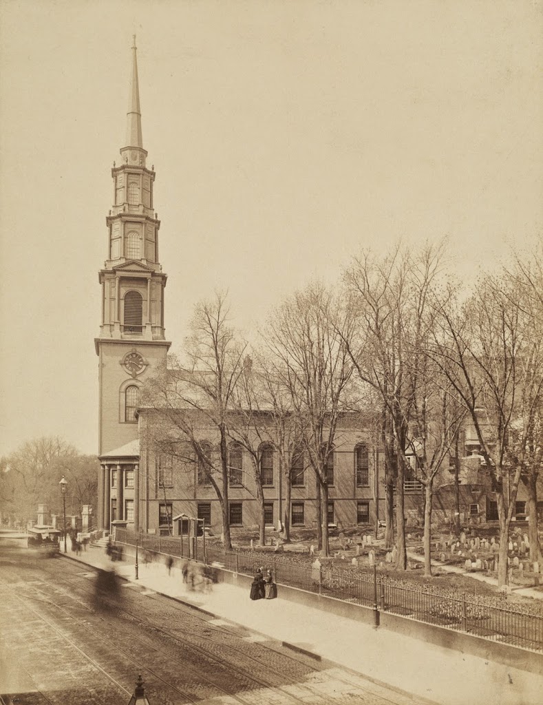
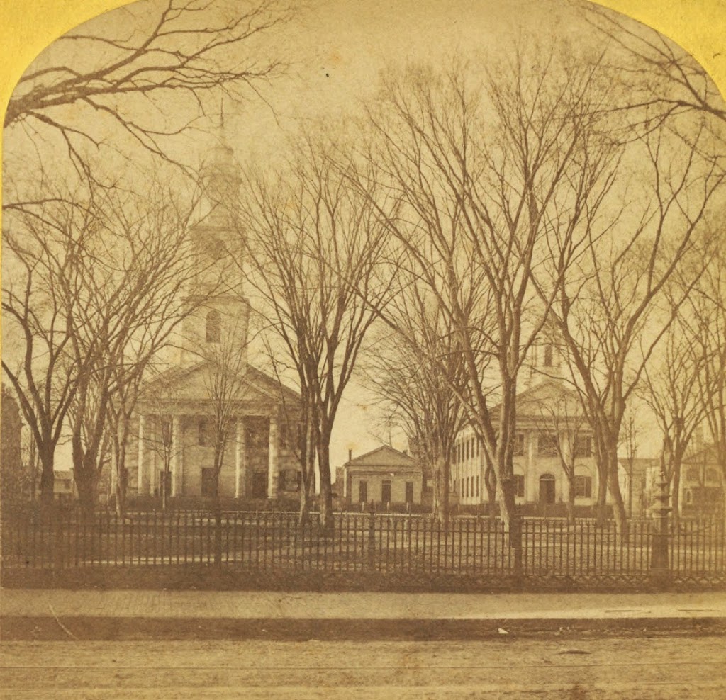
Court Square in Springfield, sometime in the 1860s or early 1870s. Photo courtesy of New York Public Library.
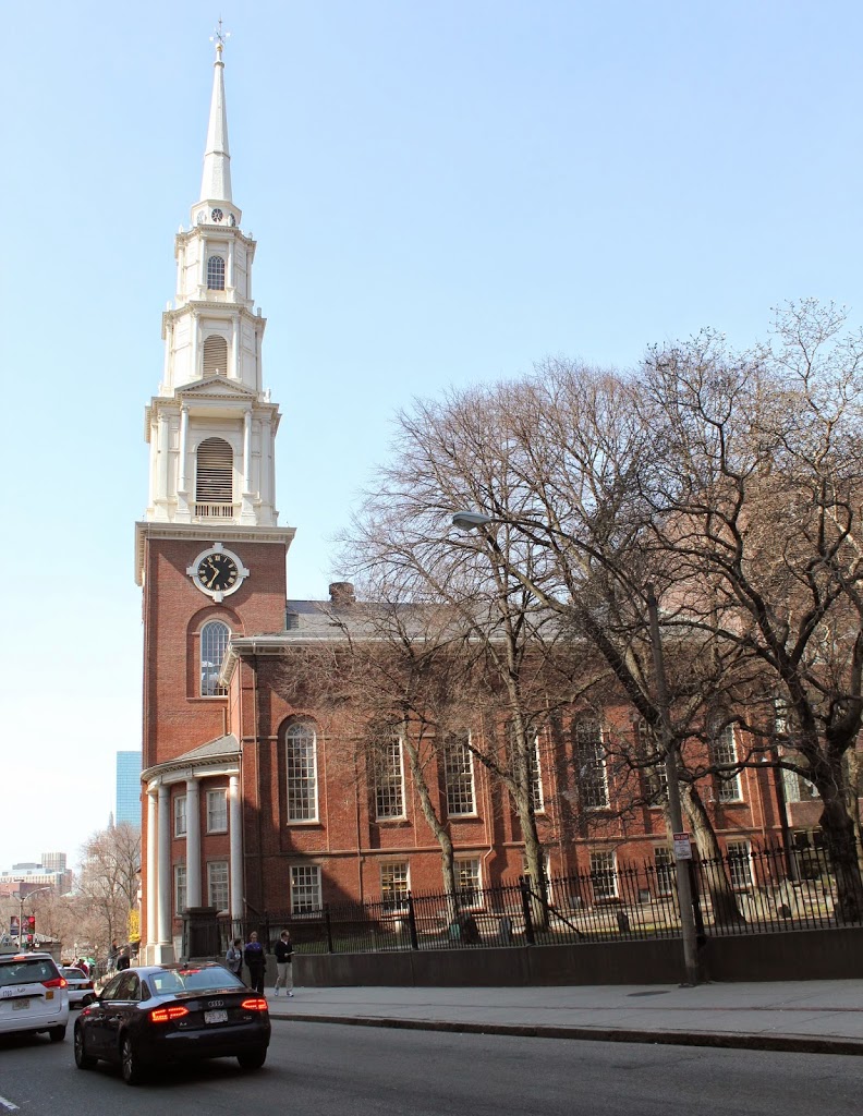
The same scene in 2013:
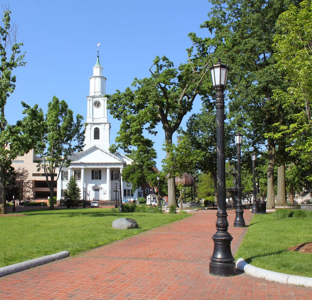
Court Square has been the center of activity in Springfield since its founding. The first meeting house was built just to the left in the foreground, and all of the subsequent churches have been built on Court Square. The square was established as a park in 1821, two years after Old First Church was built.
The building on the right-hand side of the photo is the old Hampden County Courthouse, which was built in 1821 and used as a courthouse until the 1874 courthouse was built just to the left of Old First Church. The 1874 structure is still in use as the juvenile and housing court, but the preesent-day courthouse is visible beyond and to the right of the church in the 2013 photo. The old 1821 courthouse was later used as an Odd Fellows hall, and was demolished at some point in the late 1800’s or early 1900’s. The small building in between was the church’s chapel, which was replaced by the present-day brick structure in 1874.