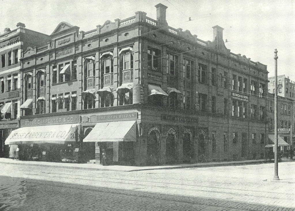
The Springfield Republican Building at the corner of Main Street and Harrison Avenue in Springfield, around 1892. Image from Picturesque Hampden (1892)
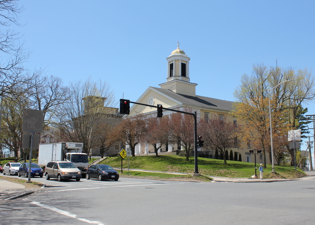
The scene in 2018:

The Republican in Springfield was established in 1824, and over the years it has been headquartered in a number of different buildings in downtown. The building in the first photo was completed in 1888, and was located directly across Harrison Avenue from the Union Block, part of which had once been occupied by the newspaper’s offices. At some point after the first photo was taken, the building was enlarged. Two stories were added probably around the first decade of the 20th century, as seen in the historic photo in this post. I don’t know how long the newspaper stayed here, but today both the building and the lot that it once occupied are gone. The western end of Harrison Avenue was changed to cross Main Street at present-day Boland Way, so the street now passes diagonally through the lot of the old Republican building.