Dickinson Memorial Library, Northfield Mass

Northfield’s Dickinson Memorial Library, around 1900-1906.  Image courtesy of the Library of Congress, Detroit Publishing Company Collection.

231_1900-1906-loc.tiff

The library in 2014:

231_2014

Northfield’s public library is the Dickinson Memorial Library, named after 19th century shoe manufacturer Elijah Dickinson, who had donated $20,000 to construct the granite building.  It was dedicated in 1898, with noted evangelist and Northfield resident D.L. Moody among the speakers at the event.  Today, the building looks much the same as it did in the first picture, which was taken only a few years after its dedication.

Pell Street, Chinatown, New York City

Looking down Pell Street in Chinatown, around 1900-1910.  Image courtesy of the Library of Congress, Detroit Publishing Company Collection.

164_1900-1910-loc

The same scene in 2014:

164_2014

Taken from the intersection of Doyers Street, this scene on Pell Street in New York’s Chinatown, this scene is taken from almost the same spot as the photos in this post, just turned about 90 degrees to the right. Several of the buildings are the same, including the ones on either side of the photo, and Pell Street remains at the center of Chinatown.

East Longmeadow Rotary (2)

Another view in downtown East Longmeadow, looking up present-day Route 83 from the rotary, around 1900-1910.  Image courtesy of the Library of Congress, Detroit Publishing Company Collection.

East Longmeadow

The view in 2014:

229_2014

This view shows the scene looking north on North Main Street in East Longmeadow, toward Springfield, from the rotary.  The house on the far left appears to be the same in both photos, but otherwise everything else has changed, showing the increase in commercial development in the center of East Longmeadow over the past century.  Another change seen here is the trolley tracks, which are visible in the lower left of the first photo.  As mentioned in this post, streetcars once connected Springfield and its surrounding towns, much in the same way that PVTA buses now do.

East Longmeadow Rotary (1)

The view looking up modern-day Route 83 in East Longmeadow at the rotary, between 1900 and 1910.  Image courtesy of the Library of Congress, Detroit Publishing Company Collection.

228_1900-1910-loc.tif

The same scene in 2014:

228_2014

Reportedly, the rotary in the center of East Longmeadow holds the record for most roads in a single intersection.  I don’t know whether this is actually the case, but either way its seven roads make it an unusual and confusing intersection.  It contains a rotary-like feature, but unlike conventional rotaries, the traffic in the rotary doesn’t necessarily have the right of way – sometimes rotary traffic does, sometimes incoming traffic has to yield, and sometimes incoming traffic has to stop.  One thing it does lack, though, is a traffic light.  Although I can only imagine what a traffic light with seven different streets would be like.

A century ago, the intersection still had seven roads, but with far less traffic, and at much lower speeds.  However, it did have one thing that modern-day drivers don’t have to contend with – trolleys.  Part of one trolley is barely visible on the far left of the first photo.  This location on the rotary, directly in front of town hall, was the southern end of one of the many streetcar lines that linked the towns in the Connecticut Valley at the turn of the century.

Agawam Ferry, Springfield Mass

The Agawam Ferry, sometime in the 1870s or earlier. Photo from Springfield: Present and Prospective, published in 1905.

Agawam

The view in 2014:

227_2014

The cities of Springfield and Hartford have historically had a strong connection, being located along the same river only about 25 miles apart.  However, they are located on opposite sides of the river, so travelers have had to cross it one way or another.  Before the construction of the bridges in Springfield, the Agawam ferry, located near the present-day South End Bridge, was the primary way to cross the river when coming from the south.  The ferry was used up until 1879, when the original South End Bridge opened.  This bridge, in turn, was replaced by the present South End Bridge, which is partially visible on the far right of the 2014 photo.  Both photos are taken from the Agawam side of the river, near Bondi’s Island, facing the South End of Springfield.

Old Toll Bridge, Springfield Mass

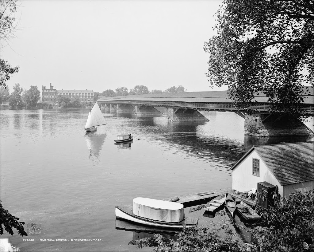
Springfield’s old covered bridge, around 1908. Image courtesy of the Library of Congress, Detroit Publishing Company Collection.

226_1908c-loc.tif

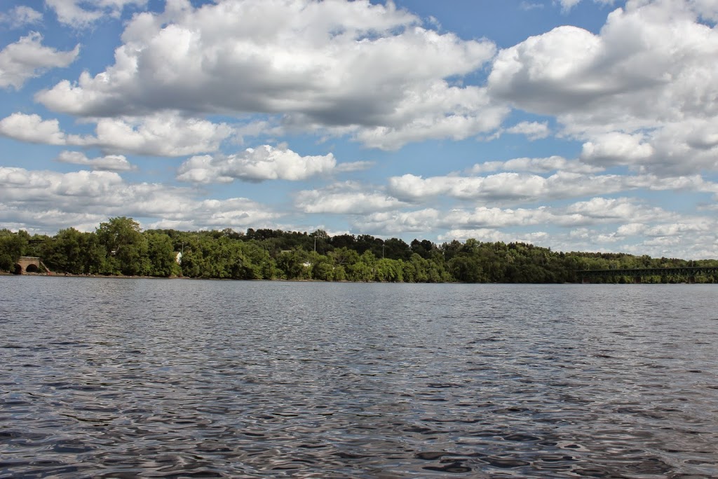
The same view in 2014:

226_2014

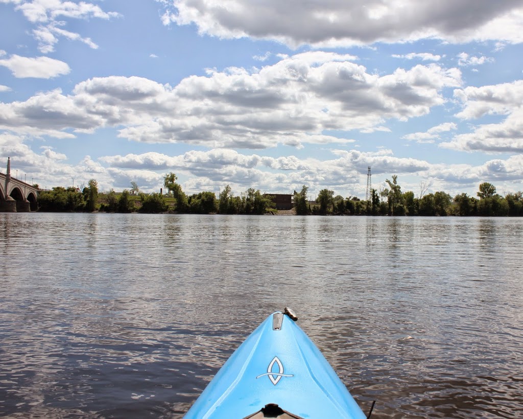
This is the first then & now recreation that I’ve done from a watercraft.  The first photo was taken from the riverbank, but because of its relatively inaccessible location today, I decided the water would be a better option.  Plus, the first photo shows some river recreation in the foreground, so I figured it would be appropriate to include a modern-day equivalent.

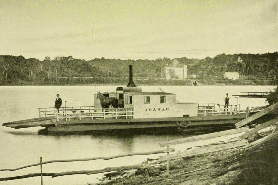
The building in the foreground of the first photo is the floating bathhouse for one of Springfield’s boat clubs, with a variety of small boats in the water next to it.  Today, Springfield’s waterfront is far more deserted, although there are still several boat clubs on the river nearby.

The bridge in the photo is Springfield’s Old Toll Bridge, which is featured in this post, seen from the other side of the river.  Note that in the old photo in that post, the same boathouse is visible in the distance.  The old covered bridge was replaced by the Memorial Bridge in 1922.  The Memorial Bridge was built a couple blocks downstream, and it is barely visible on the far left of the 2014 photo.