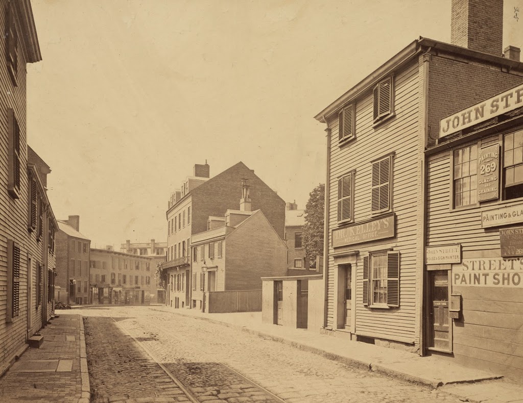
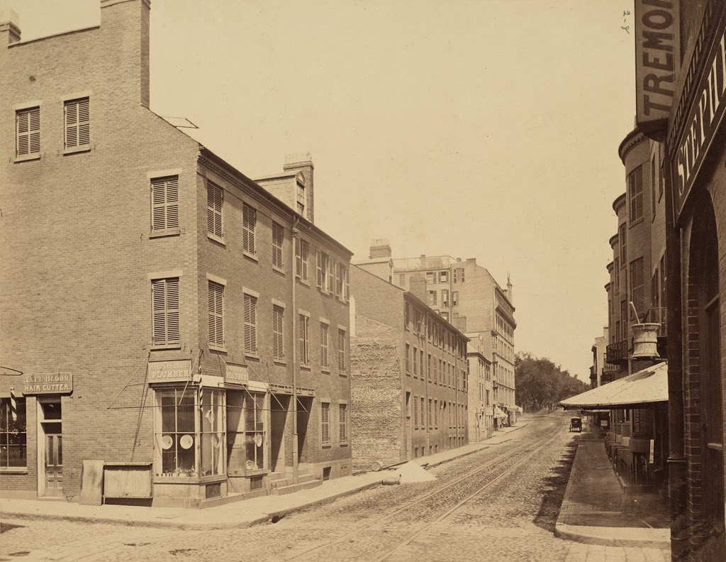
Tremont Street from Eliot Street, Boston

The view looking up Tremont Street from Eliot Street (modern-day Stuart Street) in 1869. Photo courtesy of Boston Public Library.

286_1869-2Bbpl

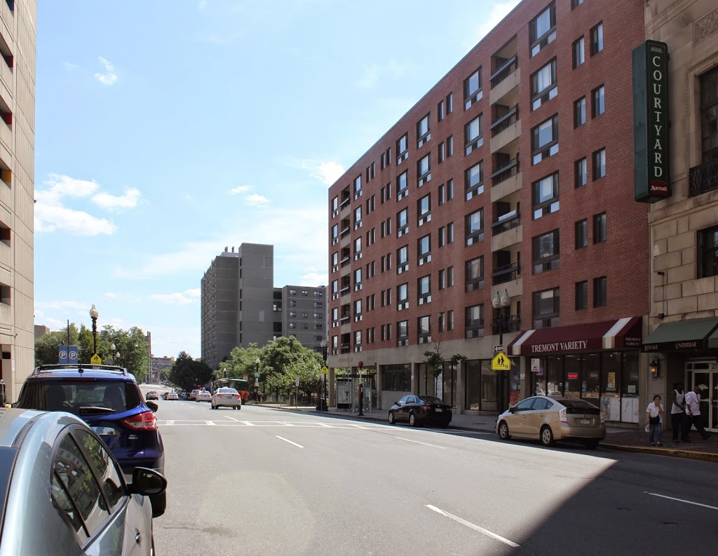
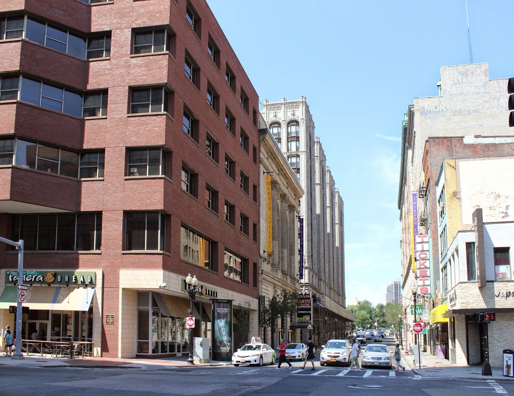
The scene in 2014:

286_2014

The first photo was taken before Tremont Street was widened in 1869. All of the buildings on the left-hand side were (presumably) demolished, except for the Hotel Pelham, which was moved 14 feet to the left and survived until 1916. Although the buildings on the right were unaffected by the widening, none of them appear to have survived to the present day. Today, the location is in the middle of the Theater District, with several of the theaters visible on either side of Tremont Street in the 2014 photo.

Hotel Boylston, Boston

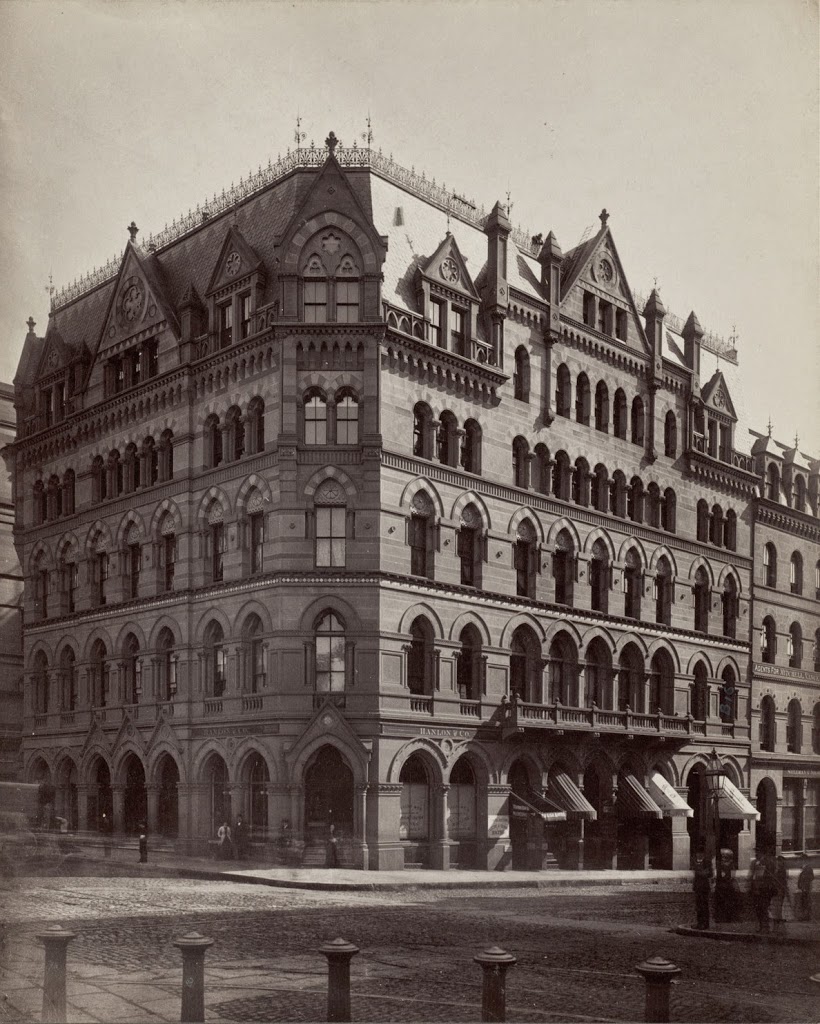
The Hotel Boylston, at the southeast corner of Tremont and Boylston Streets in Boston, sometime in the 1870s.  Photo courtesy of Boston Public Library.

285_1870-1879c-2Bbpl

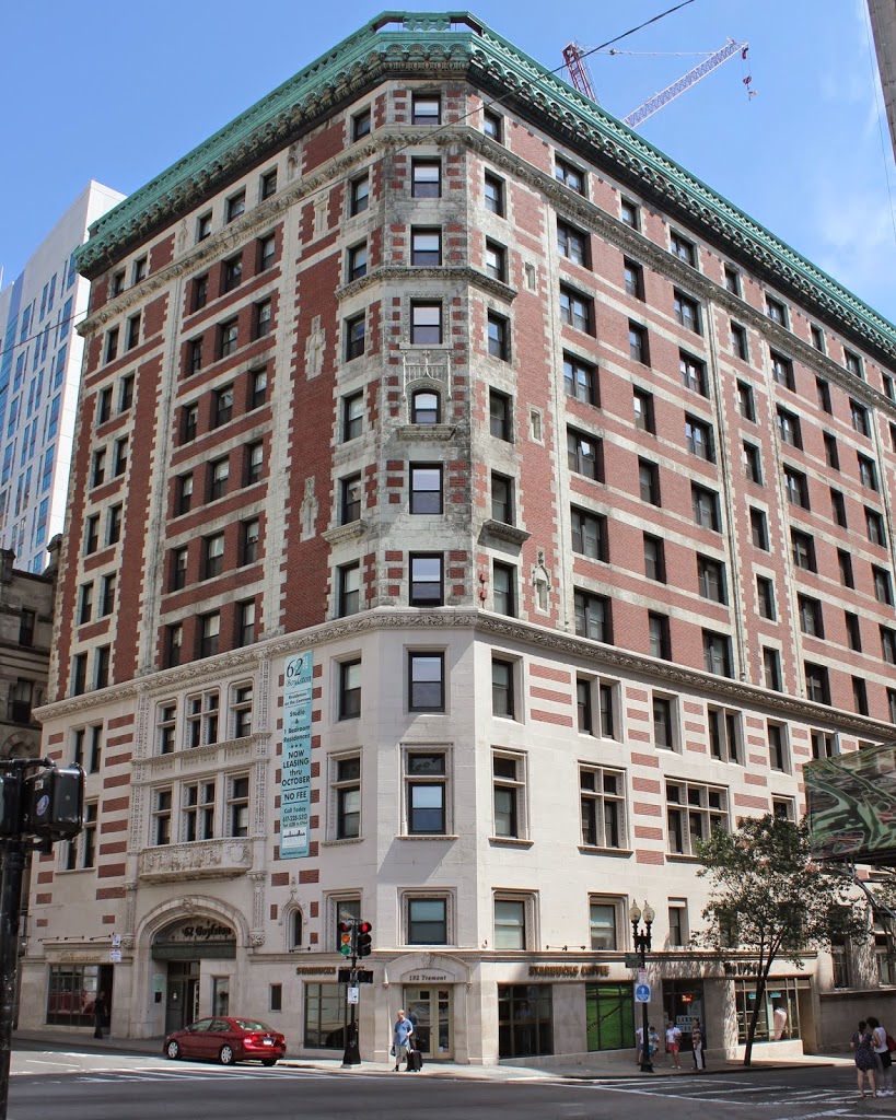
The scene today:

285_2014

Like the Hotel Pelham right across Tremont Street, the Hotel Boylston was built as a residential building, with the term “hotel” at the time referring to what we would today call an apartment building.  It was at a prominent location, at the corner of Boylston and Tremont Streets, at the southeast corner of Boston Common.  However, it was demolished in the 1890s and replaced with the Hotel Touraine building, which still stands today.

Hotel Pelham, Boston

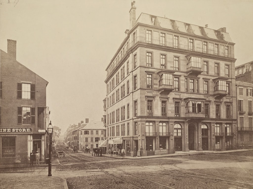
Facing the southwest corner of Boylston and Tremont in Boston around 1859, toward the newly-constructed Hotel Pelham.  Photo courtesy of Boston Public Library.

1850s

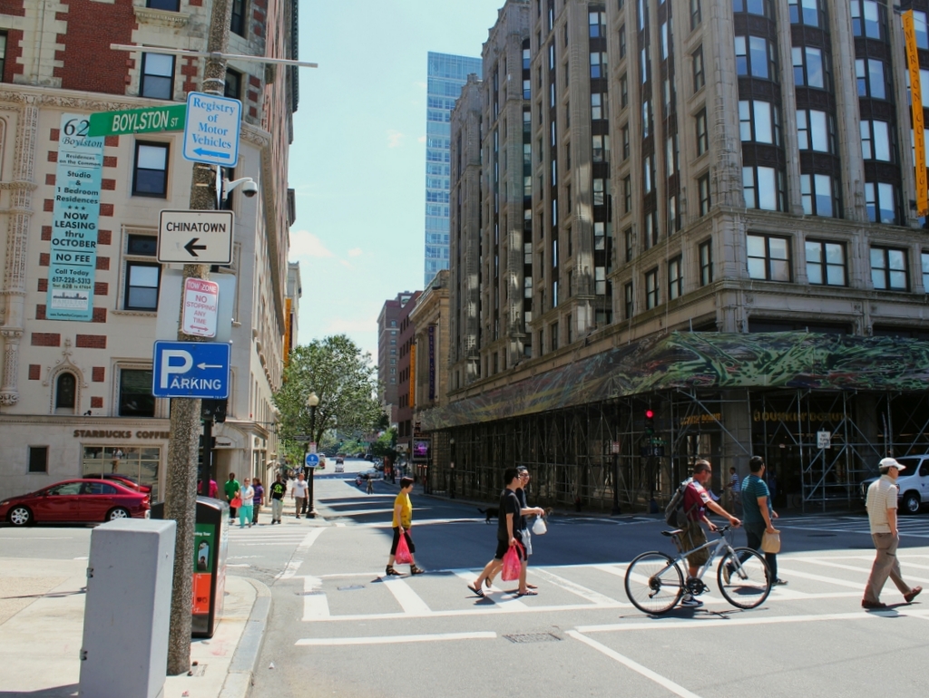
The same scene 2014:

Constructed in 1857, the Hotel Pelham was possibly the first apartment building of its type in the United States.  Although named a hotel, the term in the mid 19th century was commonly used to refer to what today we would call an apartment building – they catered more toward long-term residents than temporary visitors.

The date on the first photo is probably 1859, but some sources date it to 1869.  In either case, 1869 is the latest possible date for the photo, because in that year Tremont Street (the street that the photos are facing down) was widened.  Rather than demolishing and rebuilding, the owners moved the 5,000 ton building 14 feet to the west (right), a move that took three months to complete.  Following the move, the hotel remained in business for nearly 50 more years, before being demolished in 1916 and replaced with the present-day office building.


Old Suffolk County Courthouse, Boston

The old Suffolk County Courthouse at Court Square, Boston, between 1904 and 1912. Photo courtesy of Boston Public Library.

283_1890c-2Bbpl

The scene today:

The Boston Public Library Flickr page for the first photo estimates that it was taken around 1890, but it’s way off.  The signs on either side of the steps read “East Boston Tunnel,” which wasn’t opened until 1904.  The building itself, which was built in 1836, was demolished in 1912 to make way for the present-day building, so the first photo was evidently taken sometime in between.

The original building was the old Suffolk County Courthouse; Suffolk County at the time included a number of municipalities surrounding Boston, but by the time the second photo was taken, most of those had been annexed by Boston.  The courthouse, though, was conveniently located right behind the old Boston City Hall, which still survives today, although the city government has since moved a few blocks away.  The building can be seen in both photos, in the distance on the left-hand side.  The courthouse itself is long gone, but the building that replaced it retains the same footprint, and similar architectural features, although it is significantly taller.

Summer Street near Atlantic Avenue, Boston

Looking toward the northern side of Summer Street, with Atlantic Avenue in the distance, sometime in the 1800s. Photo courtesy of Boston Public Library.

282_1800sc-2Bbpl

The scene in 2014:

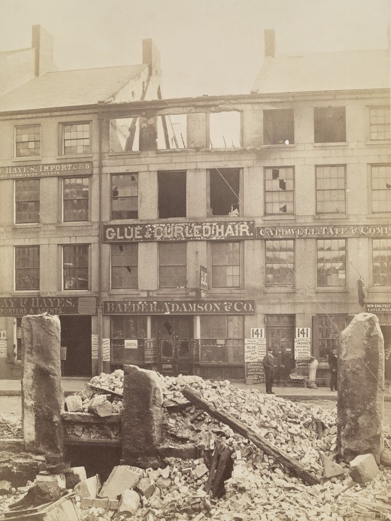
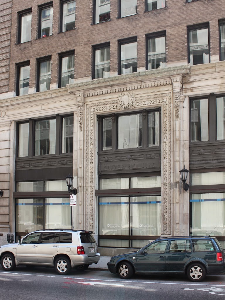
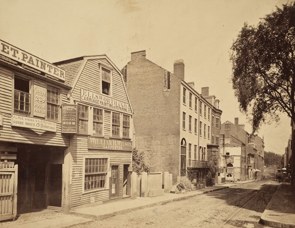
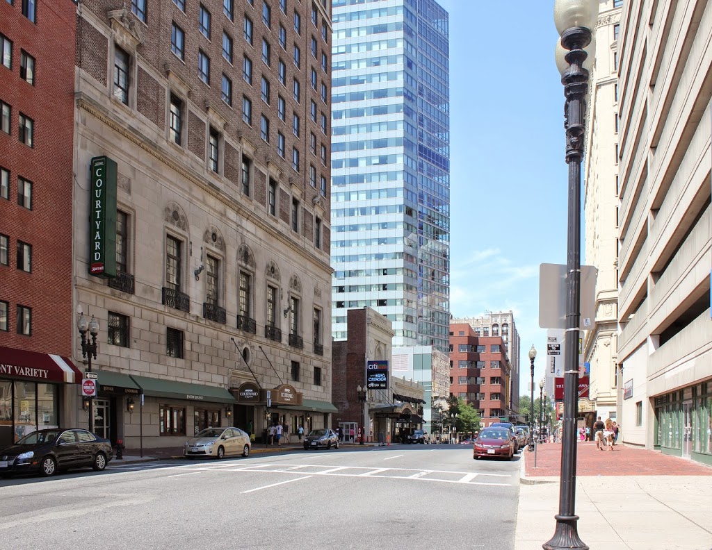
These photos were taken from alongside South Station (although I’m not sure if South Station was here at the time of the first photo), around the spot where the present-day station facade ends.  The buildings in the first photo are the Hathaway Building (distance) and the New England Building (foreground), and an 1898 atlas of Boston lists both buildings as belonging to Francis Hathaway.  I don’t know when the buildings were demolished, but they were gone by the late 1960s, when construction began on the building that currently occupies the site, Boston’s Federal Reserve Bank Building, which takes up most of the right-hand side of the photo.


Henchman Street, Boston

Looking down Henchman Street in Boston’s North End, toward Commercial Street, in 1893. Photo courtesy of Boston Public Library.

281_1893-2Bbpl

The street in 2014:

281_2014

The brick building at the corner of Henchman and Commercial Streets hasn’t changed much, aside from the bricked-up storefront at the corner and a newly-added fifth floor.  The rest of the area is very different, though.  In the intervening years, the older wooden homes were replaced with early 20th century tenement buildings, and on Commercial Street the Atlantic Avenue Elevated Railway came and went.  The North End is very different today than it was 120 years ago, although much of the area retains its old street network, including the curiously-named Henchman Street, which today is a narrow one-way street connecting Charter Street with Commercial Street.  As an etymological aside, when this street was named, the word “henchman” did not carry the same negative connotations that it does today about people who carry out the bidding of an evil person.  Instead, a henchman was simply a member of a royal court – the negative usage didn’t come until the 19th century.