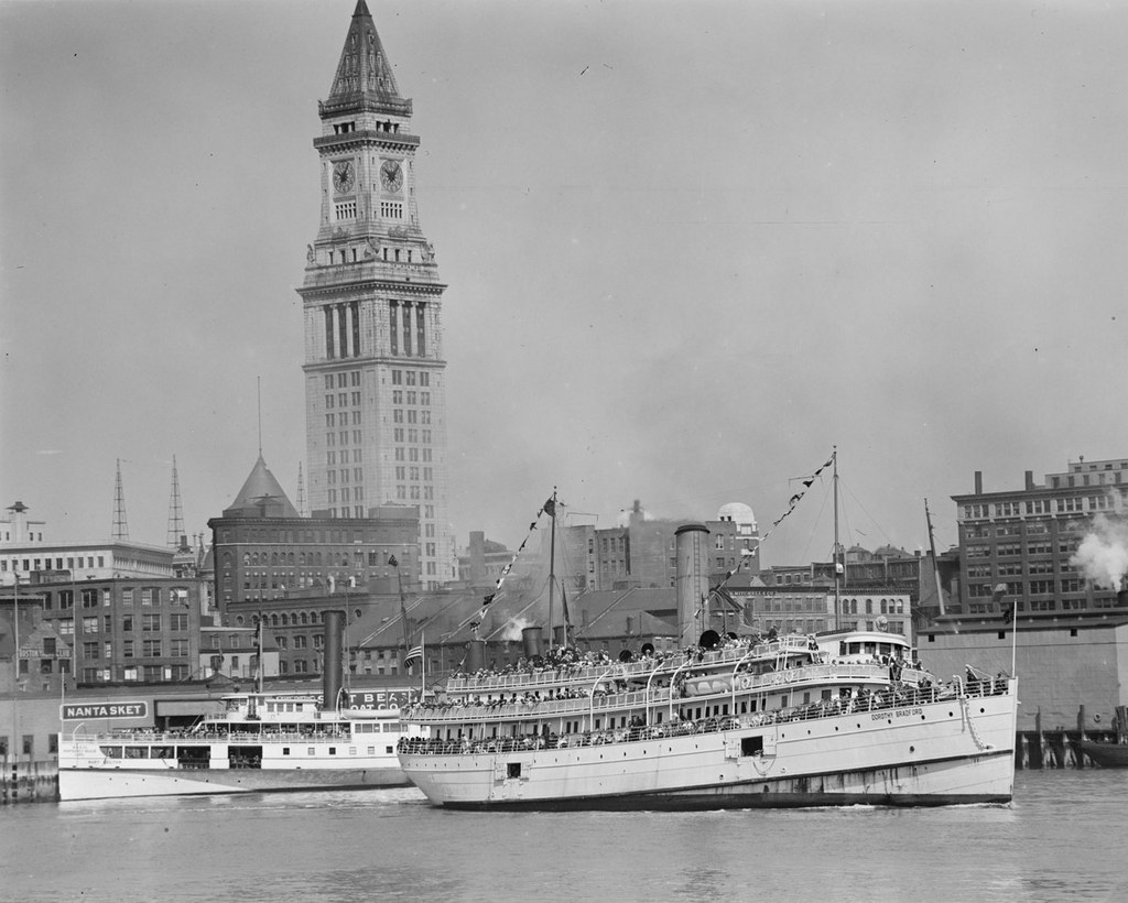
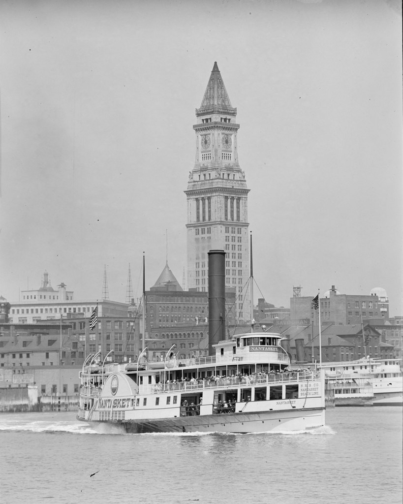
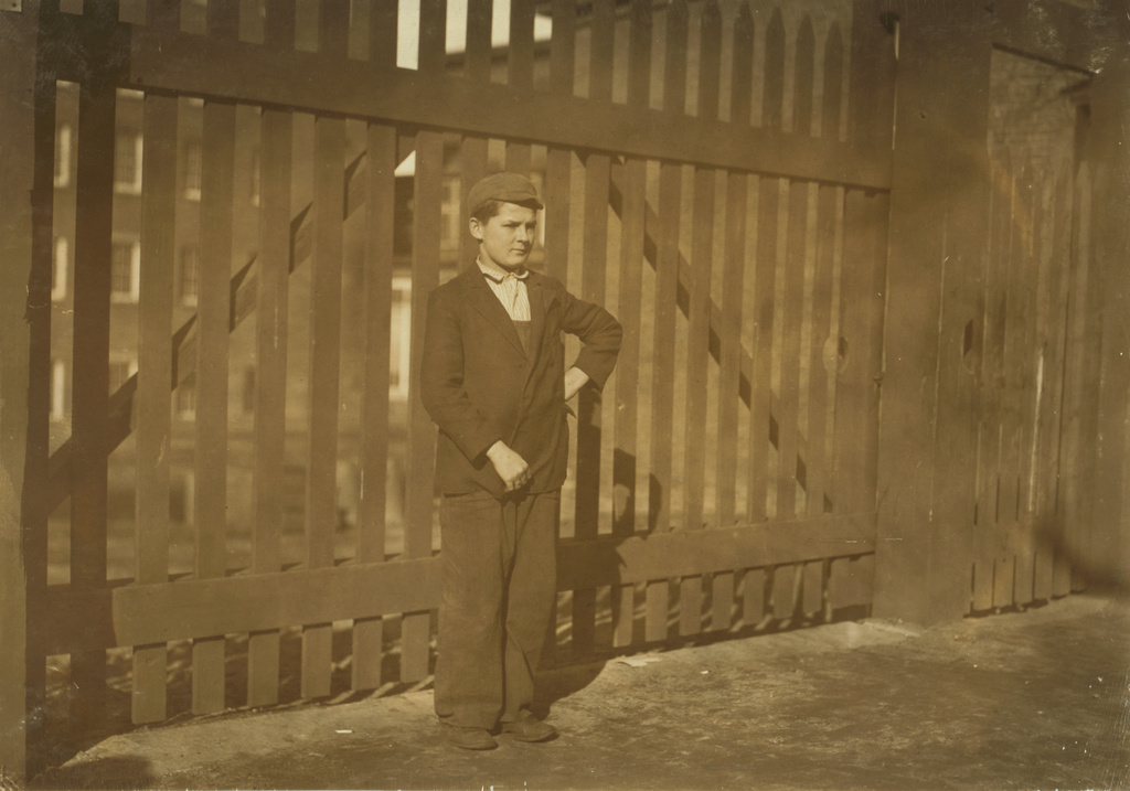
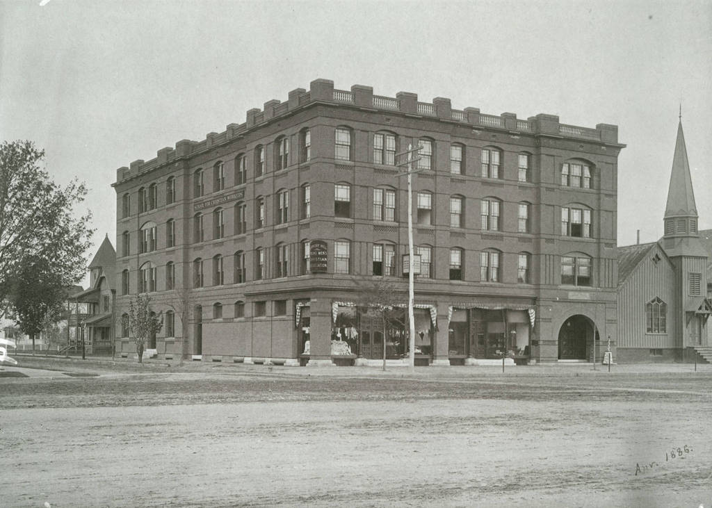
The School for Christian Workers Building, located at the corner of State Street and Sherman Street in Springfield, Mass, in 1886. Photo courtesy of Springfield College, Babson Library, Archives and Special Collections.
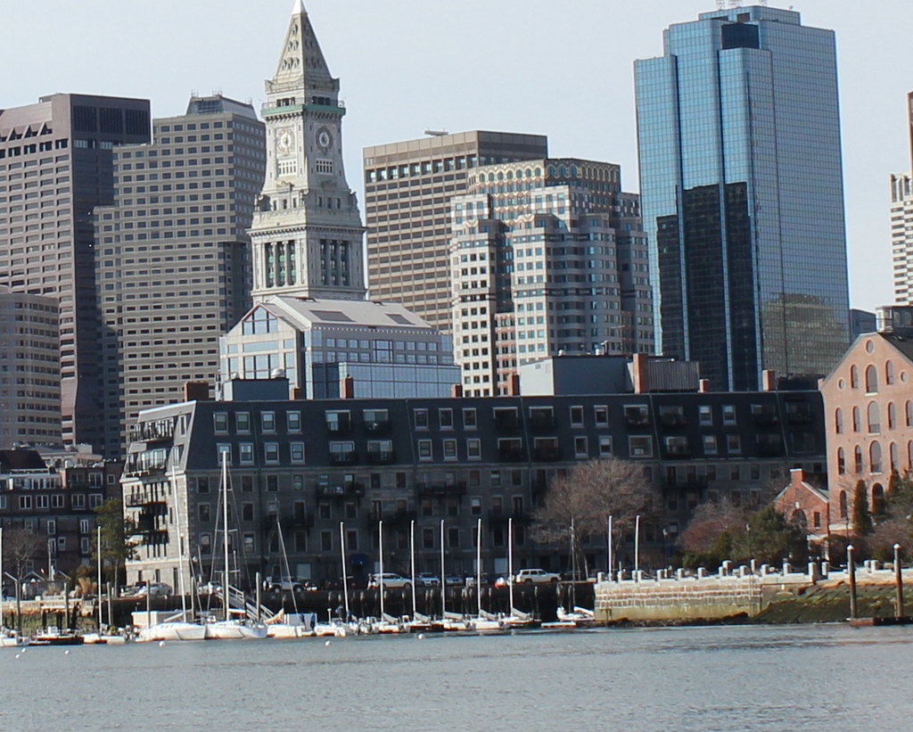
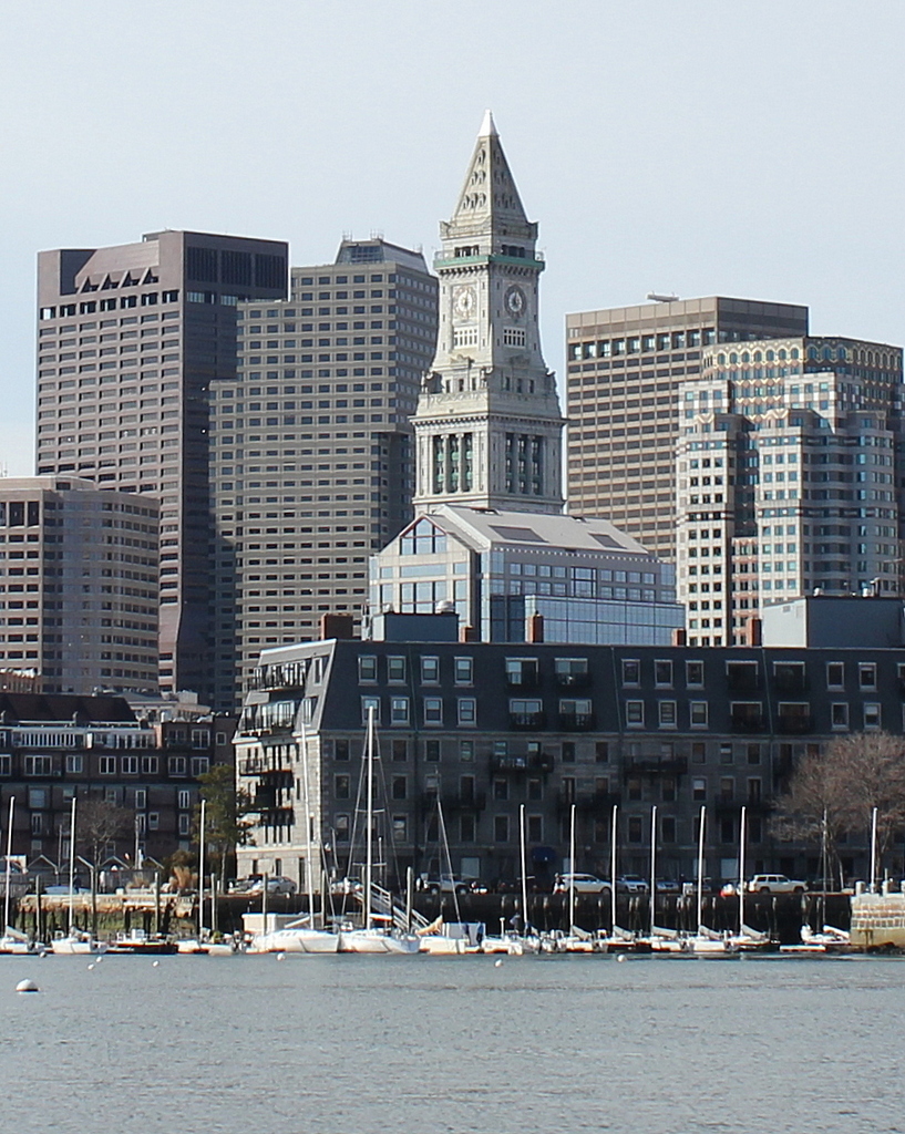
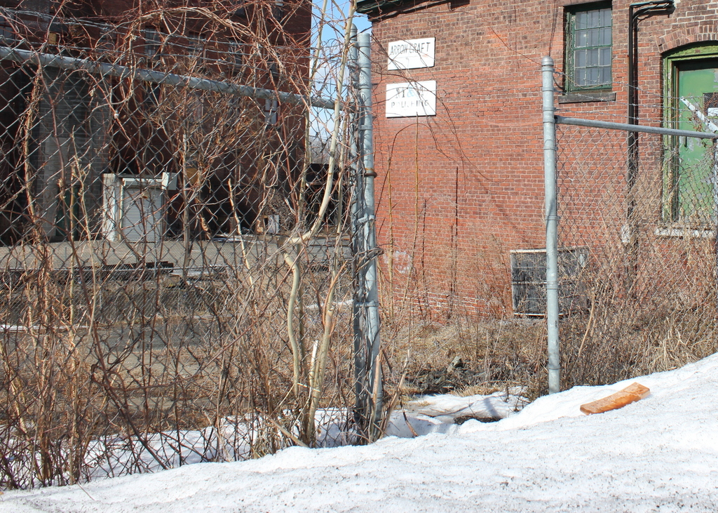
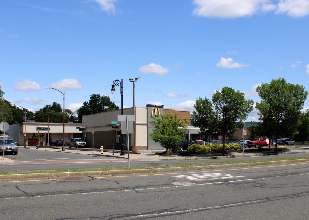
The scene in 2023:
This building was completed in 1886 as the School for Christian Workers, with the goal of training Sunday school superintendent and YMCA administrators. The YMCA program ended up being particularly successful, and in 1890 it became a separate organization here in this building, the YMCA Training School. The school would only be located in the building for several years, before moving to the modern-day Springfield College campus, but it was here that the school became famous as the birthplace of basketball.
Among the instructors here was Canadian graduate student James Naismith. During the fall of 1891 he was teaching a physical education class, but was having difficulty keeping the students engaged in an indoor sport during the colder months. At the time, the two most popular sports were baseball and football, but neither could realistically be played in a sixty- by thirty-foot gymnasium. Naismith initially tried to modify these sports for indoor play, but he found little success. So, he instead developed a completely new sport, which involved throwing a soccer ball into peach baskets that were mounted to the gallery that was located 10 feet above the gymnasium.
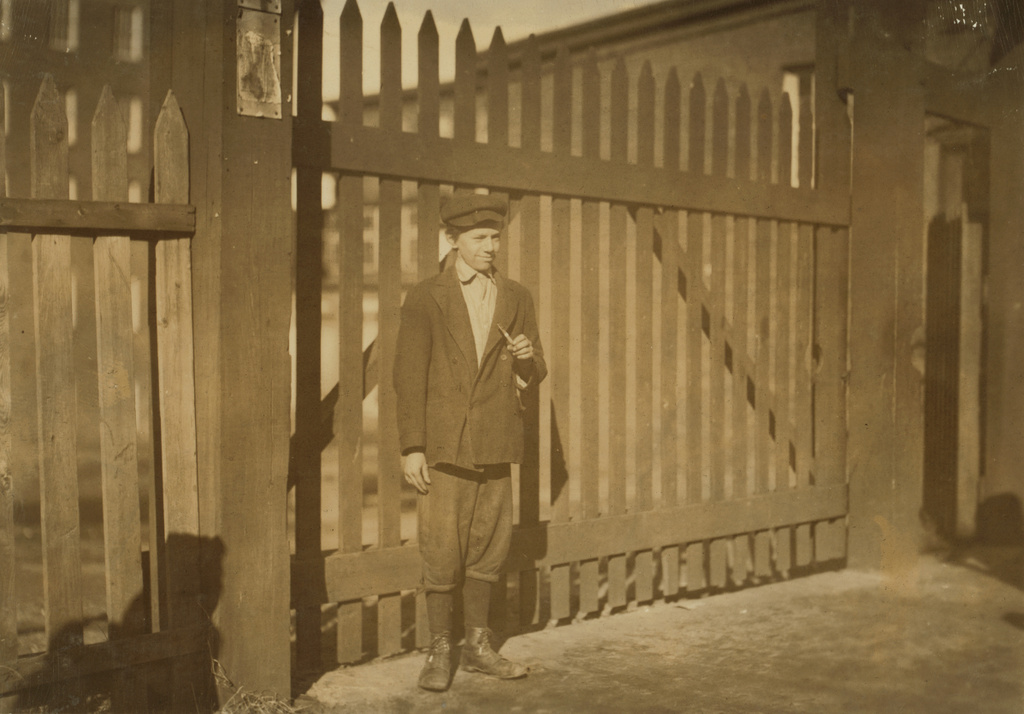
The first game of basketball was played here in this building on December 21, 1891, with a final score of 1-0. It proved to be popular, and not only among the YMCA students here, but also among the women who taught across the street at the Buckingham School. This new sport soon began to draw spectators, including one game in March 1892 that drew over 200 spectators to watch the faculty play against the students. This is generally considered to be the first public basketball game, and it is one of only two basketball games that James Naismith every personally played in. He and the other teachers ultimately lost 5-1 against the students, with former Yale football star Amos Alonzo Stagg scoring the only basket for the faculty.
Basketball would continue to grow in popularity around the country over the next few years, and in the meantime the YMCA Training School was outgrowing its original facility here on State Street. By 1896 the school had relocated to a new campus along the edge of the Watershops Pond, and it was eventually renamed Springfield College in 1954. The older building here on State Street eventually became a rooming house by 1910, but it closed in 1961 and was heavily damaged by a fire later in the year. It was subsequently demolished to make way for a parking lot for a shopping plaza, and a McDonald’s was later constructed on the site in 1995, as shown in the present-day photo.