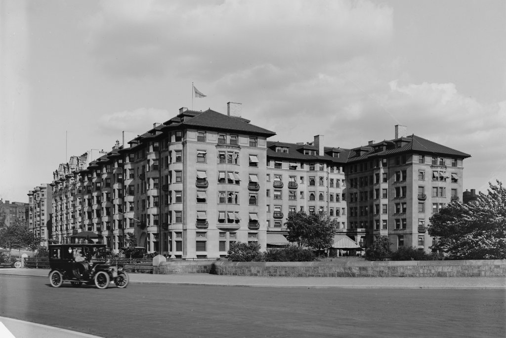
The Hotel Somerset at the corner of Commonwealth Avenue and Charlesgate East in Boston, around 1910-1920. Image courtesy of the Library of Congress, Detroit Publishing Company Collection.
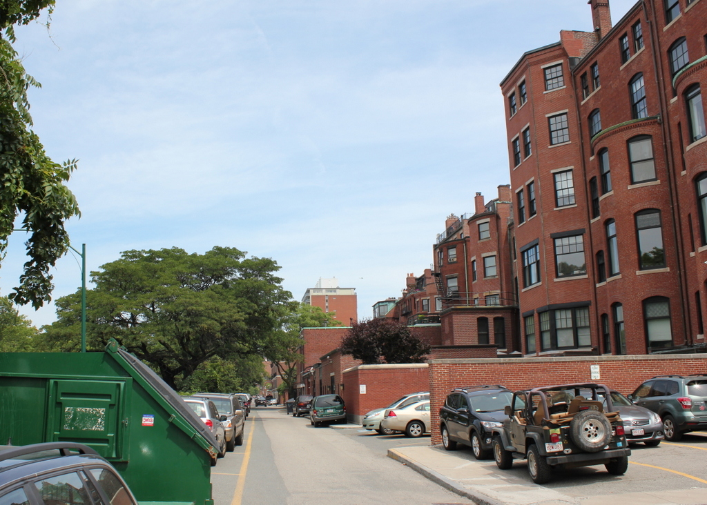
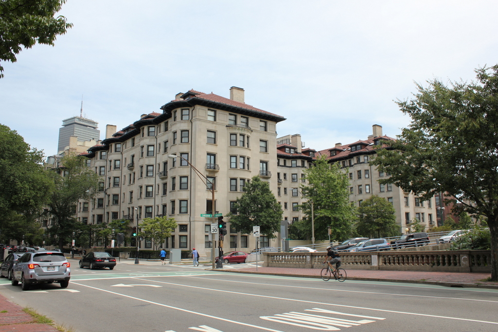
The building in 2015:
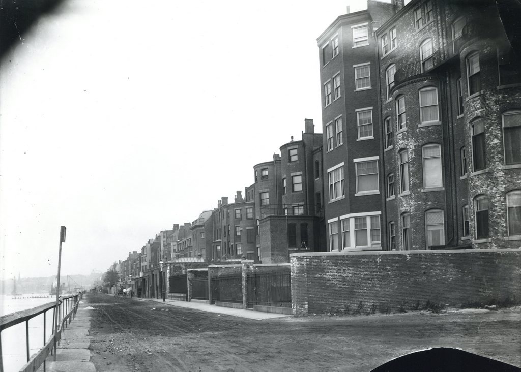
When this historic building was completed in 1897, it was at the very edge of the city. There were parts of Boston further west of here, such as today’s Fenway/Kenmore neighborhood, but at that point there was very little development going on. Even the 1898 city atlas didn’t cover further west of here, and it shows that many of the building lots around the hotel were still vacant.
Although the Hotel Somerset was initially surrounded by vacant lots, the city soon grew up around it, as the first photo shows. It was a prominent city hotel, with notable guests such as The Beatles, who stayed here during their visit to Boston in 1966, as well as visiting baseball teams, since Fenway Park is just a quarter mile away. Ted Williams also stayed here during the baseball season, renting Room 231 for many years.
In the century since the first photo was taken, many of the surroundings have changed. The Massachusetts Turnpike passes within 50 feet of the building on the other side, and on this side an elevated roadway crosses Commonwealth Avenue, with an off-ramp on the right side of the photo in front of the building. The hotel itself was converted to condominiums in the 1980s, but from the outside it still doesn’t look much different from the first photo.