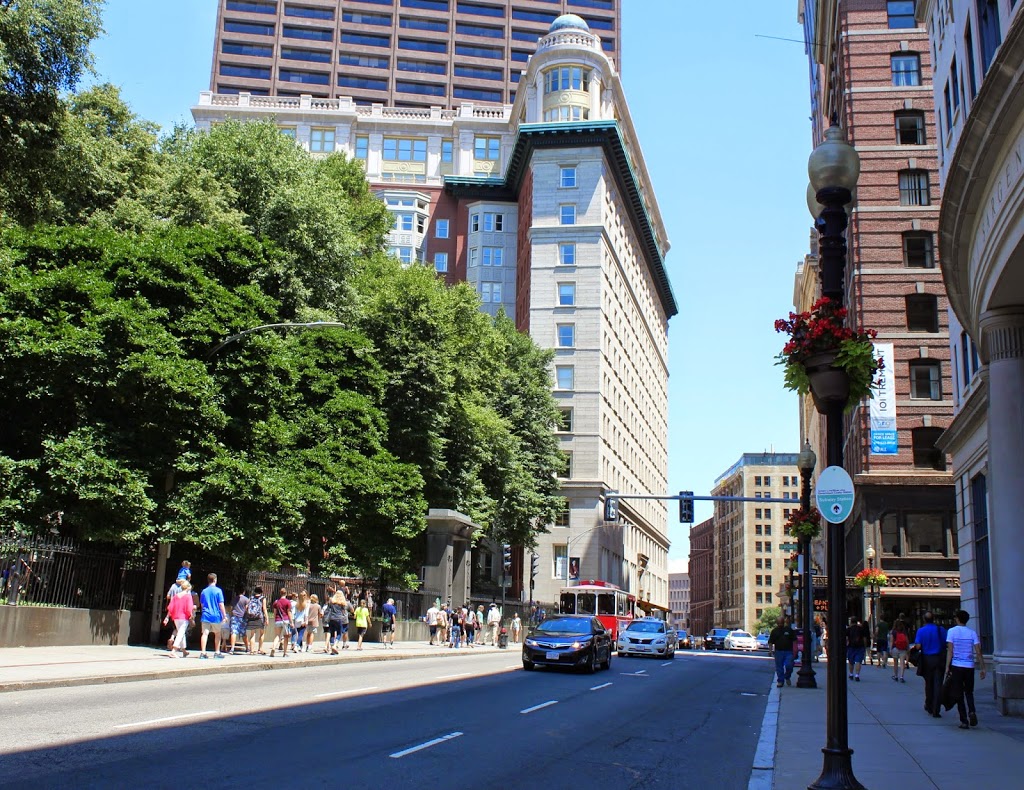
Franklin Street, Boston (2)

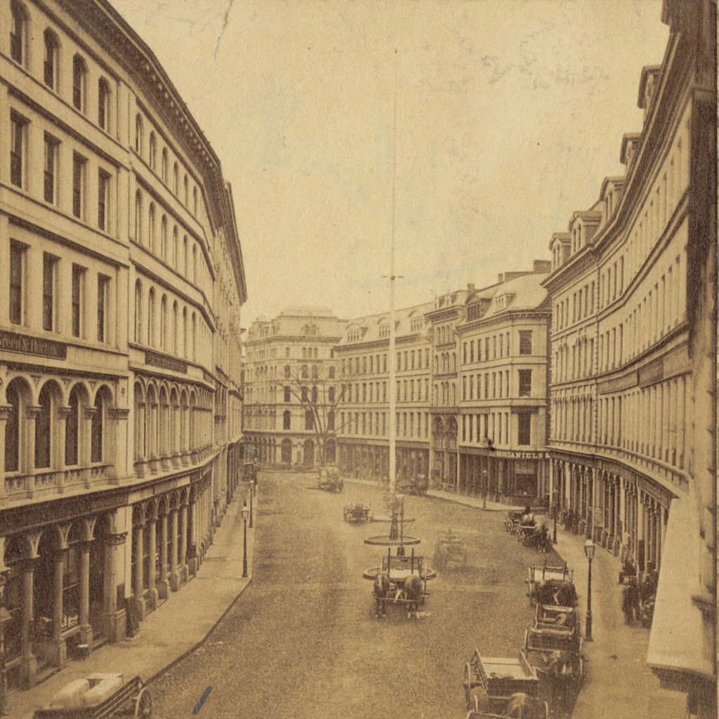
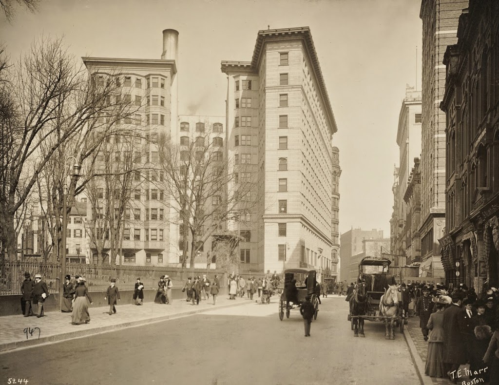
Looking down Franklin Street toward Arch Street from Hawley Street in Boston, around 1870. Photo courtesy of Boston Public Library.

327_1870c-2Bbpl

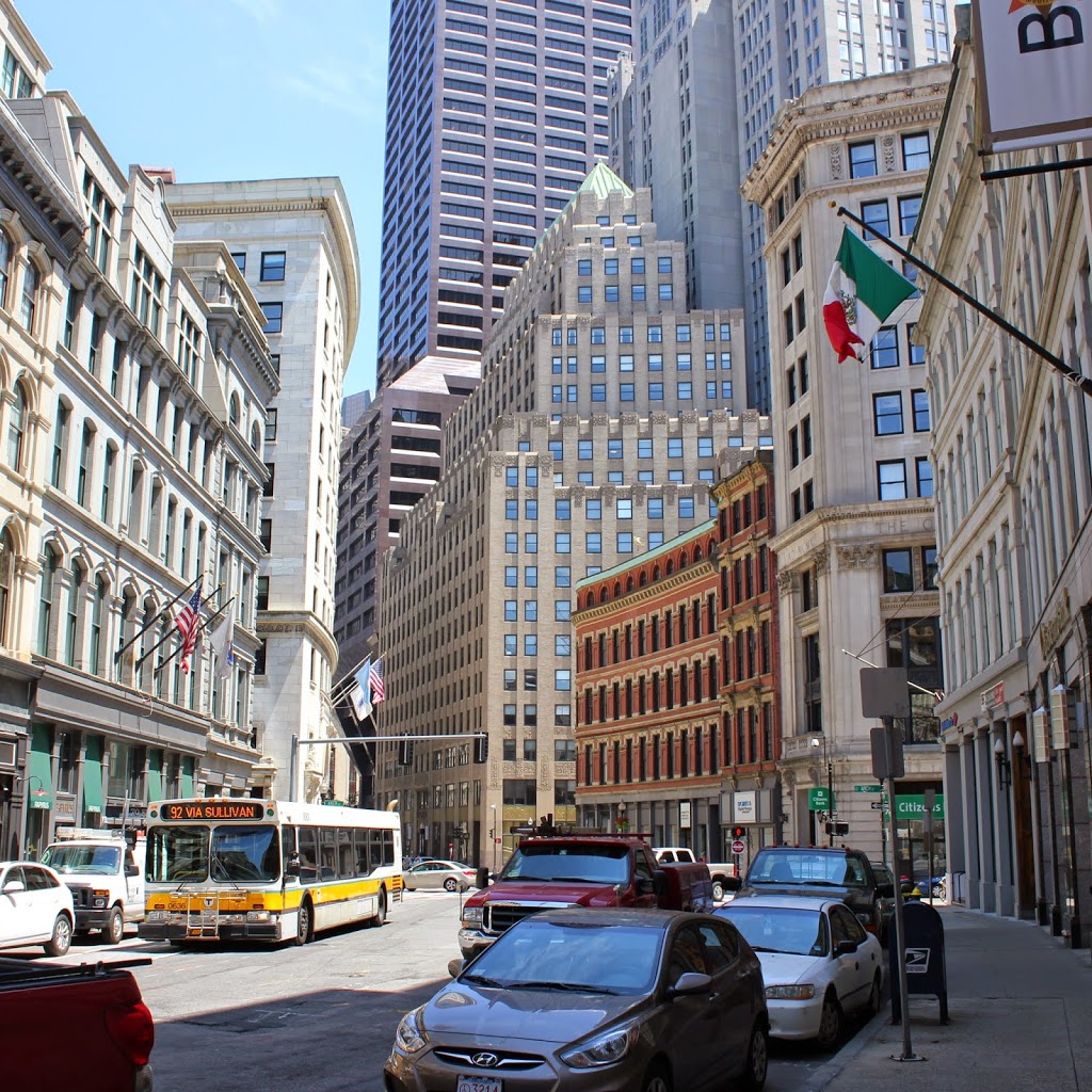
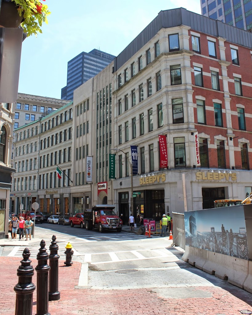
Franklin Street in 2014:

327_2014

Taken near the ones in this post, the first photo shows Franklin Street after the 1790s row-houses were demolished to make room for commercial development.  When the street was originally laid out, it included a landscaped terrace with a number of trees in the center of the road.  However, after the redevelopment, only a single tree remained, which is seen in the distance of the 1870 photo.  Within a couple years, however, the entire area would be destroyed in the Great Boston Fire of 1872, and the area was rebuilt again, with many of those buildings surviving today.

Franklin Street, Boston (1)

Looking down Franklin Street toward Arch Street from Hawley Street in Boston in 1858. Photo courtesy of Boston Public Library.

326_1858-2Bbpl

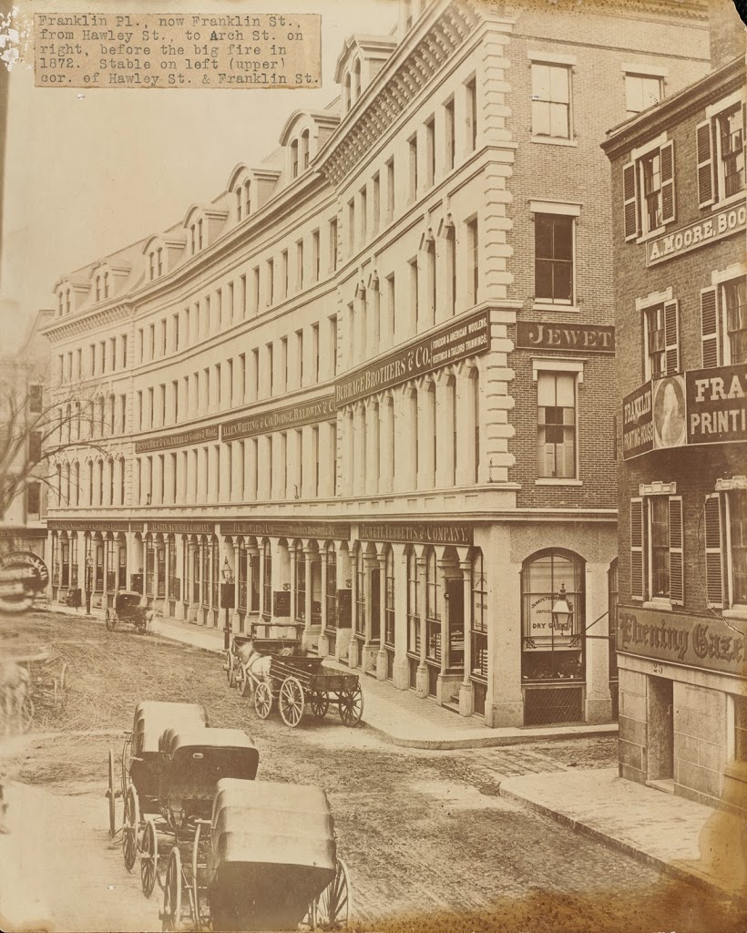
The same view down Franklin Street, between 1859 and 1872. Photo courtesy of Boston Public Library.

326_1850-1872c-2Bbpl

Franklin Street in 2014:

326_2014

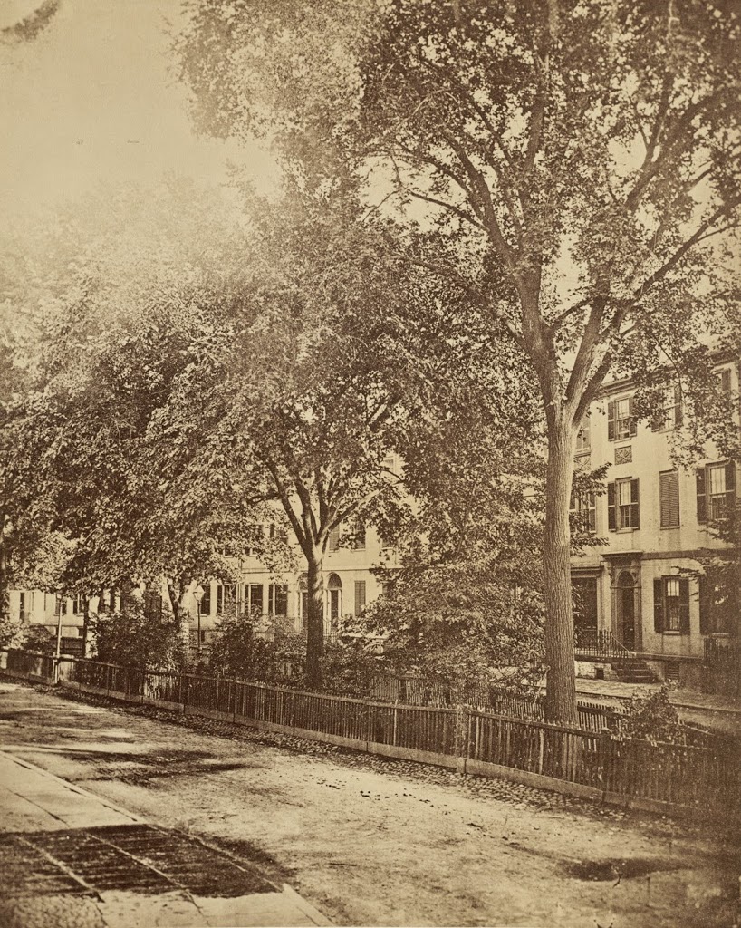
Franklin Street in Boston was originally laid out in the 1790s by noted architect Charles Bulfinch, and included row-houses on both sides of a sweeping curve, as seen in the first photo. Known as the Tontine Crescent, this was an upscale neighborhood in the first half of the 19th century, but by the 1850s the city was expanding commercially. The row-houses were demolished, and replaced with the commercial buildings in the second photo. These didn’t last too long, though – they were destroyed in the Great Boston Fire of 1872. Today, it is still a major commercial center, part of the Downtown Crossing shopping district, but many of the buildings that are still standing along Franklin Street were the ones constructed in 1873 in the immediate aftermath of the fire. In addition, the street still retains its distinctive curve that was laid out over 200 years ago.

Niles Building, Boston

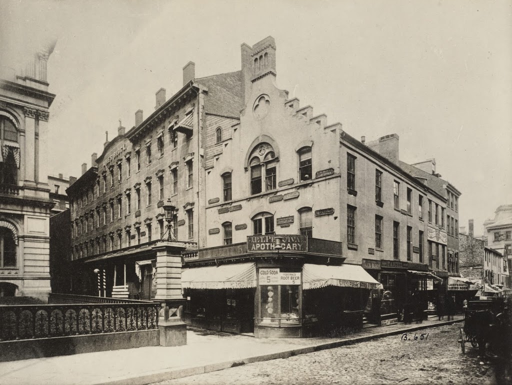
The Niles Building at the corner of School Street and City Hall Avenue in Boston, in 1880. Photo courtesy of Boston Public Library.

323_1880-2Bbpl

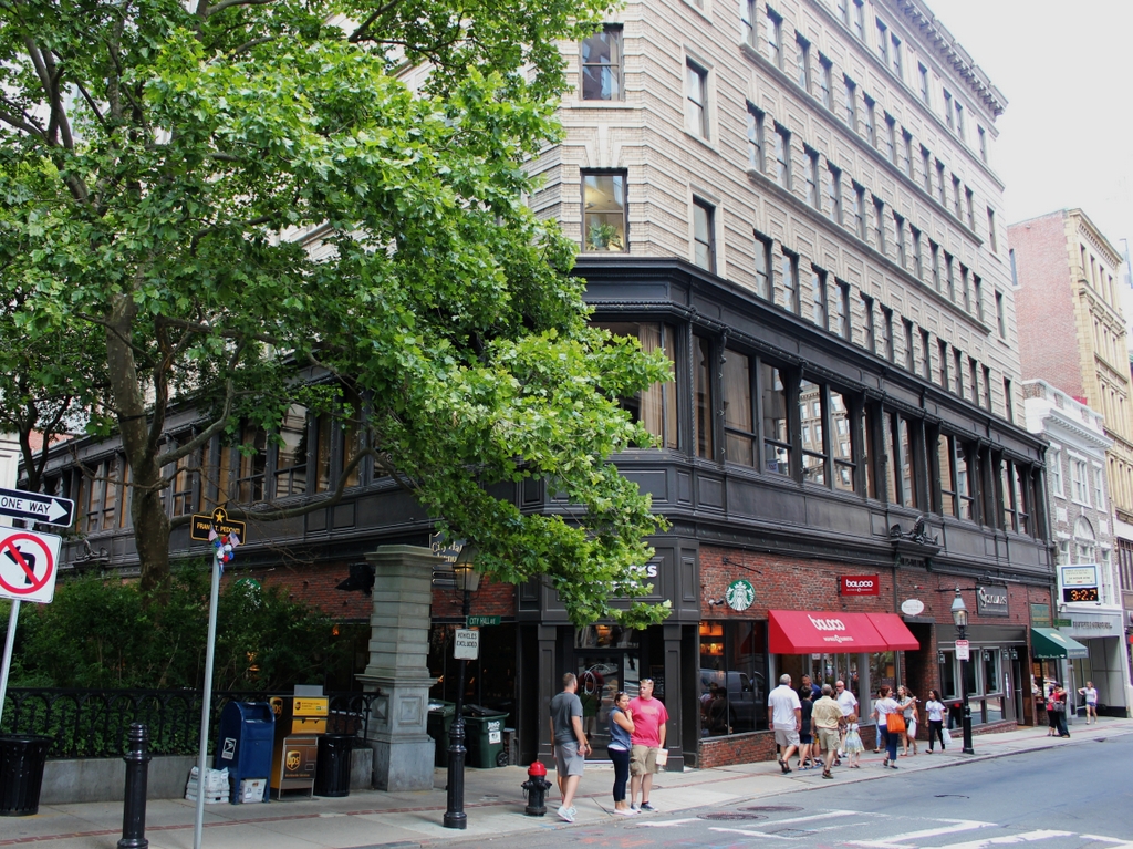
The same scene in 2014:

When the first photo was taken, School Street was home to Boston’s City Hall, which is barely visible on the far left-hand side.  The building, which opened in 1865, is still there, although it no longer functions as the City Hall.  The buildings in the foreground of the 1880 photo, however, are long gone – the building in the present-day photo was built in 1915, so the older buildings were obviously demolished before then.  At least one other building does exist today from the original photo – the Old Corner Bookstore is seen in the distance on the extreme right of the photo.

Tremont Street, Boston

Looking up Tremont Street toward Beacon Street, with the Granary Burying Ground to the left, taken around 1910. Photo courtesy of Boston Public Library.

322_1910c-2Bbpl

The scene in 2014:

322_2014

This section of Tremont Street actually hasn’t changed much – the Granary Burying Ground is essentially the same, and a few of the buildings are still there, including the massive Tremont Building.  Built in 1895 on the site of the Tremont House hotel, the office building still looks much the same as it did over 100 years ago.

Faneuil Hall and Dock Square, Boston (2)

Faneuil Hall, taken from Dock Square in Boston in 1930. Photo courtesy of Boston Public Library, Leslie Jones Collection.

318_1930-2Bbpl

The scene in 2014:

318_2014

Similar to the scene in the photos in this post, this view shows Faneuil Hall as the one constant in an otherwise very different scene.  It was probably the oldest building in the 1930 photo by at least 100 years, but 84 years later it has outlasted all of the other buildings, many of which were taken down during various urban renewal projects in the 1950s and 1960s, including the construction of the Central Artery.

Faneuil Hall and Dock Square, Boston (1)

Faneuil Hall, taken from Dock Square in Boston in 1930. Photo courtesy of Boston Public Library, Leslie Jones Collection.

317_1930-2Bbpl

The scene in 2014:

317_2014

Faneuil Hall and the Custom House Tower are still there, but otherwise this scene has changed dramatically.  Taken from in front of modern-day City Hall, the scene in the first photo shows the Faneuil Hall area when it was still a major commercial center in the city, as opposed to a destination primarily for tourists and city workers on their lunch break.  Today, Congress Street cuts through the area where Dock Square once was, and behind the photos, City Hall towers over the area.