Wales Road, Monson Mass

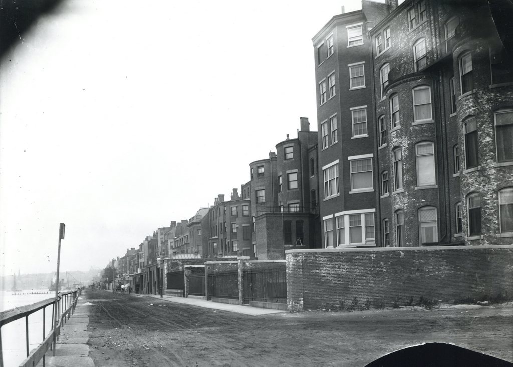
Looking up Wales Road from Main Street in Monson, around 1892. Image from Picturesque Hampden (1892).

560_1892c picturesquehampden

Wales Road in 2015:

560_2015
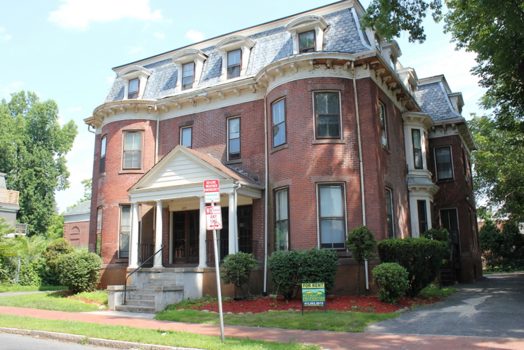
Most of the houses at the western end of Wales Road date to the second half of the 19th century, including the two on the left, which were built around 1850.  At the time that the first photo was taken, Monson was becoming a significant factory town, and many of those factories were situated in the southern part of the town center, within easy walking distance of the houses seen here.  Not long after the first photo was taken, a trolley line was built along Main Street in Monson, and it ended here at Wales Road.  Today, the trolleys are long gone, and the house on the right has since been replaced, but otherwise most of the houses in this area from the 1892 scene are still there.

Main Street, Wilbraham Mass

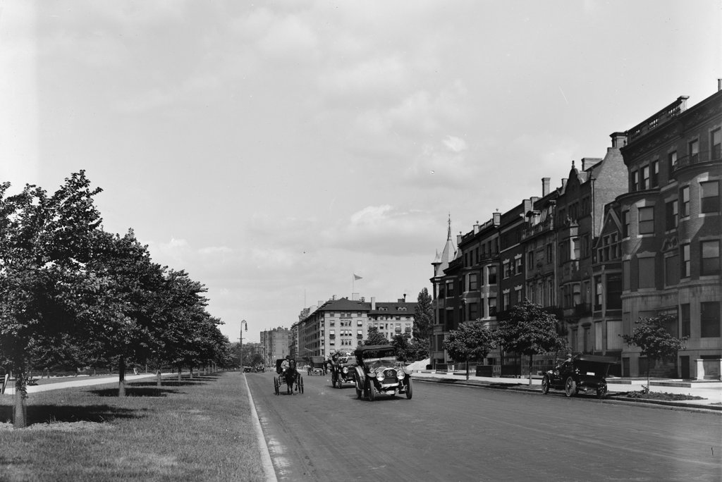
Looking south on Main Street from the corner of Springfield Street in 1903. Image courtesy of the Wilbraham Public Library.

548_1903 wpl

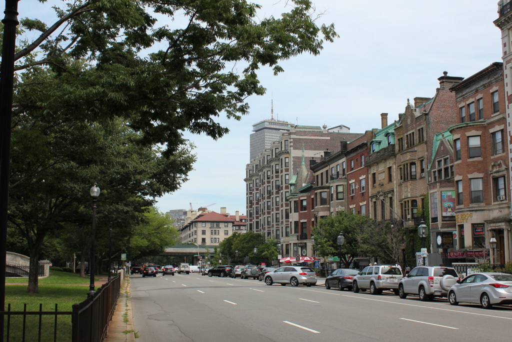
Main Street in 2015:

548_2015
In the past 112 years, Wilbraham has seen significant population growth, but overall its downtown area has retained the small-town feel that it had when the first photo was taken. At the turn of the 20th century, the town’s population was actually in decline, having lost about 25% of its population between 1850 and 1900.  Like many other New England towns, its soil wasn’t particularly well-suited for large-scale farming, and while other cities and towns were industrializing in the 19th century, Wilbraham lacked suitable rivers for any significant industrial development.

It wasn’t until the second half of the 20th century the population started to grow dramatically, with former farmland being developed into residential neighborhoods.  Today, Wilbraham is an affluent suburb of Springfield, and its town center doesn’t look much different from 100 or even 200 years ago, with most of the buildings along Main Street dating to the 18th or 19th centuries.  One such house is the Isaac Brewer House, visible on the right-hand side of both photos.  It was built around 1748, and is one of the oldest houses in the town.  Across the street, however, the old First Congregational Church is gone; it burned in 1911, and today Gazebo Park occupies the spot where the church once stood.

Captain Charles Leonard House, Agawam Mass

The Captain Charles Leonard House on Main Street in Agawam, around 1895-1896. Image courtesy of the Agawam Historical Association.

547_1895-1896 agawamhistoricalassociation

The house in 2015:

547_2015
This house on Main Street in Agawam hasn’t changed much in the past 120 years, nor had it changed much between its construction in 1805 and the 1890s photo.  It is a very well-preserved example of early 19th century Federal architecture, designed by noted architect Asher Benjamin for Captain Charles Leonard, a local militia officer who operated a tavern out of the building.  At the time that the first photo was taken, it was owned by George Fowler, and in the 1930s it was purchased by Minerva Davis and restored to its early 19th century appearance.  Since then, it has been owned by the nonprofit Captain Charles Leonard House Corporation, and has been rented for weddings, banquets, receptions, and a variety of other gatherings.

The Maples, Rutland Vermont

The Maples, the home of author Julia Caroline Dorr, on Dorr Drive in Rutland, around 1900-1910. Image courtesy of the Library of Congress, Detroit Publishing Company collection.

535 1900-1910c loc

The house in 2015:

535_2015
This house on Dorr Road in Rutland was once the home of Julia Caroline Dorr, a 19th century American author known for both prose and poetry. She was born in South Carolina, but grew up in Vermont. Her husband was Seneca M. Dorr, a lawyer and politician originally from Vermont. The couple moved to Rutland in 1857, which was probably around the time this house, knwon as “The Maples,” was built. The Dorrs lived here for the rest of their lives; Seneca would practice law in Rutland and go on to serve as the President of the Vermont Senate, and Julia continued to publish her work. Seneca died in 1884, and Julia in 1913, so the first photo was almost certainly taken while she was still living there. Today, the house is still there, and although it no longer has the porch, it still retains much of its architectural detail.  However, there is a substantial addition on the right-hand side of the house, which is now used as a church.

Armsmear, Hartford Connecticut

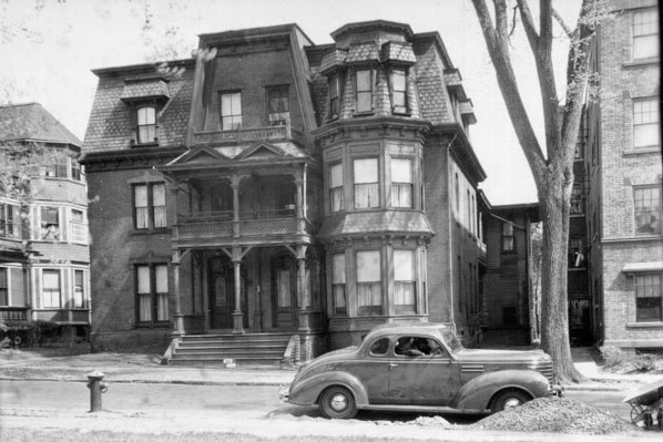
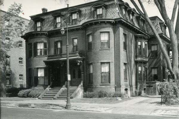
Armsmear, the former home of Samuel Colt, on Wethersfield Avenue in Hartford, around 1907. Image courtesy of the Library of Congress, Detroit Publishing Company Collection.

520_1907c loc (19 Colt Residence 80 Wethersfield Ave)

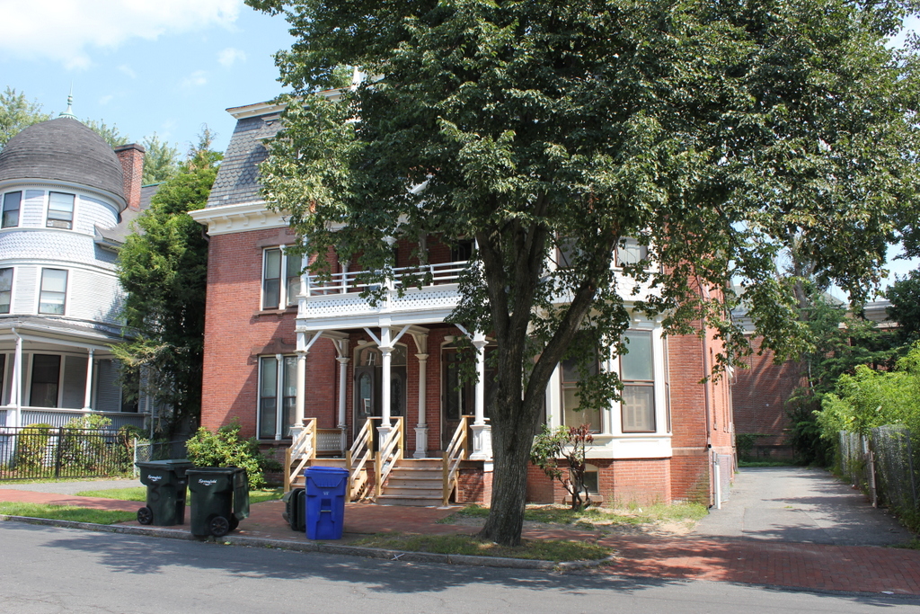
The house in 2015:

520_2015

This mansion was the home of Samuel Colt, an industrialist and firearm manufacturer who founded the present-day Colt’s Manufacturing Company.  In 1856, he married Elizabeth Hart Jarvis, and the following year the newlyweds moved into this mansion.  However, he didn’t have much time to enjoy it; Colt died in 1862 at the age of 47, and his wife took over control of the company for the rest of the century.  She sold her share in the company in 1901, and she died in 1905, probably not long before the first photo was taken.  She had no surviving children, and in accordance with her will, the house became a home for widows and orphans of Episcopalian clergymen, which explains the large addition on the right-hand side of the house in the 2015 scene.  Her will also gave much of the property to the city of Hartford, and this land is now Colt Park.

Isaac Brewer House, Wilbraham Mass

The Isaac Brewer House on Main Street in Wilbraham in 1898. Image courtesy of the Wilbraham Public Library.

506_1898 wpl

The house in 2015:

506_2015

The Isaac Brewer House is one of the oldest existing buildings in Wilbraham; it dates to about 1748, and was originally the home of Isaac Brewer, a prominent early settler of what is today the town of Wilbraham.  Present-day Wilbraham was settled beginning in the 1730s, and at the time it was part of Springfield.  Known as the Outward Commons, this area was on the extreme eastern edge of Springfield’s borders, which once stretched as far as Wilbraham to the east and Westfield to the west.  Isaac Brewer was the son of Daniel Brewer, who served as the pastor of the church in Springfield from 1694 to 1733.  Following Reverend Brewer’s death in 1733, a dispute arose in Springfield regarding his replacement, Robert Breck, whose views were considered unorthodox to the more conservative Calvinists in Springfield.  This was perhaps a factor in Isaac Brewer’s decision to move to Wilbraham around the same time that Breck became the pastor, and in 1741 he was one of the eight original members of the newly-created Wilbraham church.

The house remained in the Brewer family for 150 years, until it was sold in 1898 to merchant Frank Gurney, the owner of Gurney’s Store just a short distance away (his home is almost visible on the far right of the 1904 photo in that post). The first photo must’ve been taken either right before or right after he moved in; perhaps his family is the one photographed in the front yard.  Like the historic photo in this post, I suspect that this photo may have been taken by the Howes Brothers, photographers from Ashfield Massachusetts who traveled around New England during the late 1890s and early 1900s, often photographing people in front of their homes.

Sometime soon after Gurney moved in, he made some alterations that are apparent in the present-day scene, including the front porch, second story bay window, and the altered windows on the first floor.  By the 1950s, the Gurneys were no longer living here, and the house was divided into a two-family residence.  However, overall the building remains in good condition, and aside from Gurney’s alterations it is still recognizable as a historic colonial-era house.