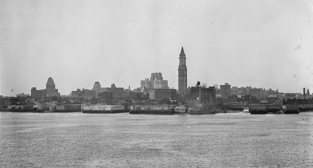
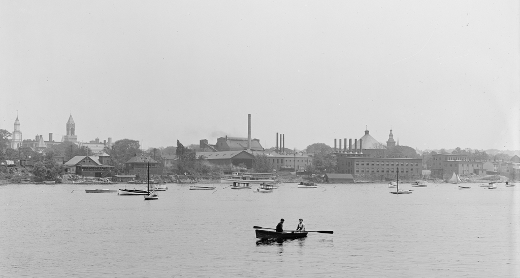
The view of Boston from the harbor, in the early 1930s. Image courtesy of Boston Public Library, Leslie Jones Collection.
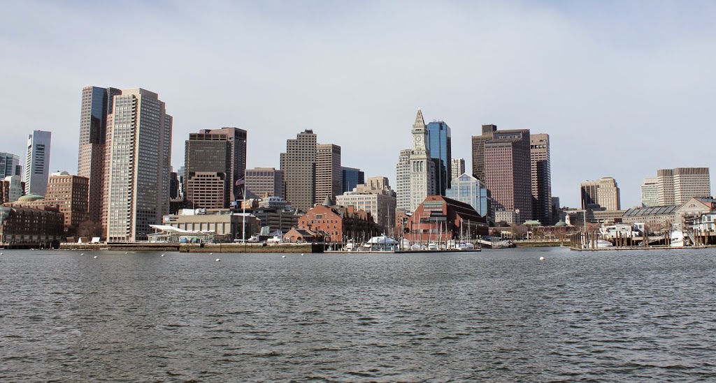
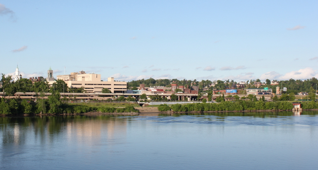
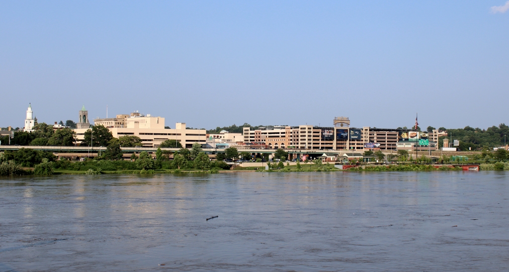
The view in 2013:
Boston’s skyline has changed a lot in the past 80 years, but there are still some recognizable buildings in both photos. The Custom House Tower, the lonely skyscraper in the first photo, is still among the tallest buildings in downtown Boston, but it no longer stands out like it did from when it was built in 1915 until the 1970’s. Part of the reason why Boston’s skyline got off to a slow start was because, for many years, the city had a 125 foot limit on any buildings; the Custom House was able to skirt these requirements because it was a federally-owned structure. One of the other prominent building in the 1930’s photo is the John W. McCormack U.S. Post Office and Courthouse, another federally-owned building that is still standing, but barely visible in the 2013 photo. The building was built between 1930 and 1933, which establishes the earliest that the photo could have been taken.

