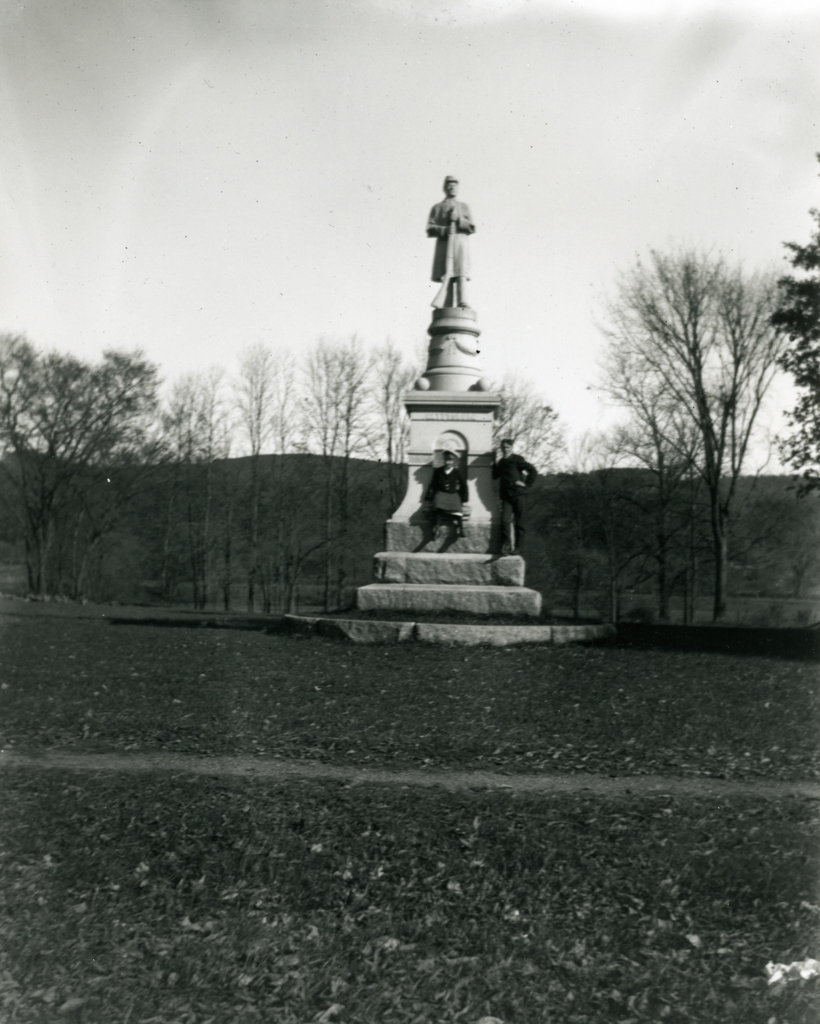
Soldiers’ Plot, Springfield, Mass

The Soldiers’ Plot in Springfield Cemetery, around 1900-1910. Image courtesy of the Library of Congress, Detroit Publishing Company Collection.

375_1900-1910-2Bloc

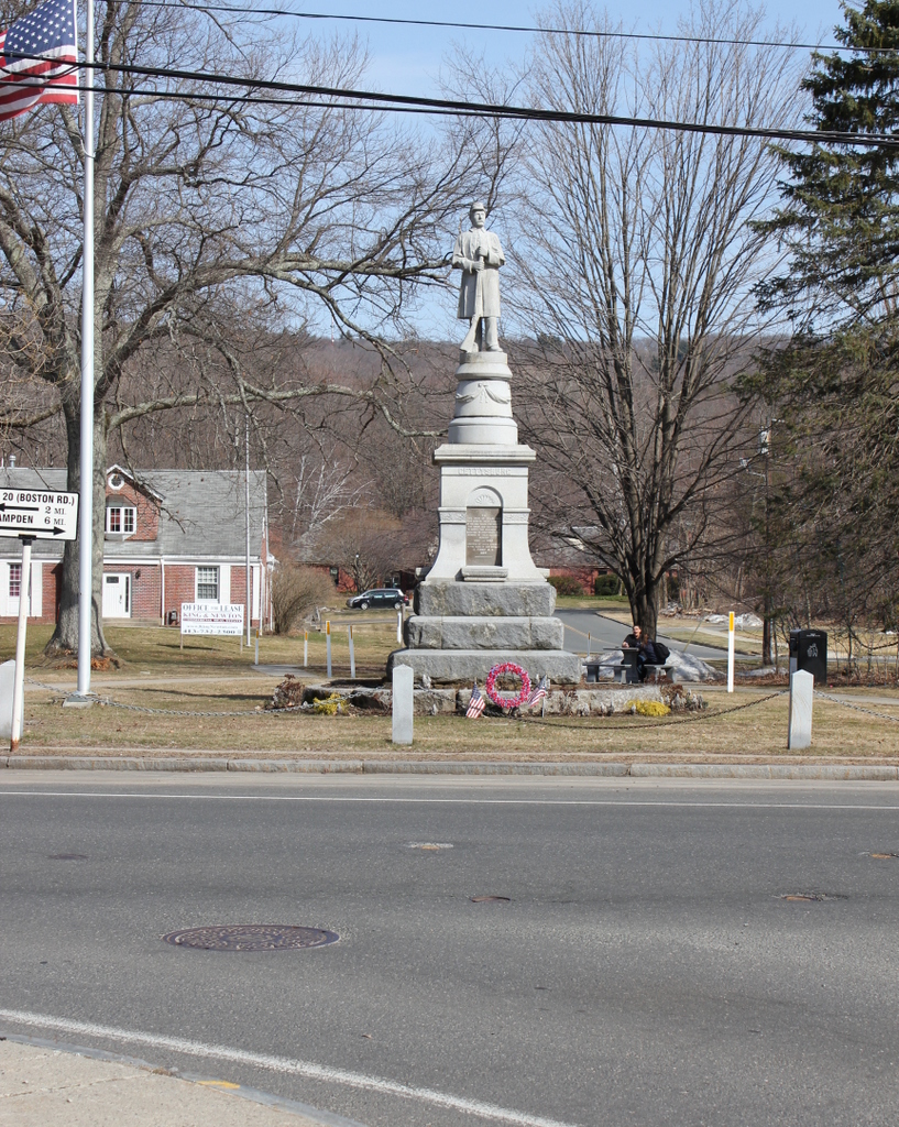
The scene in 2015:

375_2015

Springfield Cemetery was established in the 1840s as a beautifully-landscaped city cemetery in the middle of the city.  Within a few decades, it would become the final resting place for a number of men from Springfield who were killed in the Civil War.  A total of 167 were killed or missing in the war, with more lost to disease than to combat deaths.  Many of those men are buried here in the Soldiers’ Plot, not far from the entrance to the cemetery.  The plot includes the headstones at the bottom and top of the slope, with a statue at the top.  The statue was dedicated in 1877 using funds from the Soldier’s Rest Association.  The organization had been established during the war to care for returning veterans, and they used leftover funds to commission the statue.

Today, the headstones and statue are still there, although they are no longer decorated with flags and wreaths, and the landscaping isn’t as perfectly manicured as it was a century ago – the headstones on the lower section seem to almost blend in with the slope.  Of course, in the first photo the Civil War was still in the memory of many people, with many still alive who had either served in or lost loved ones in the war, so it is understandable that the plot would have been better cared for back then.

Cemetery Avenue, Springfield, Mass

The road to Springfield Cemetery, Springfield, Mass, around 1905. Image courtesy of the Library of Congress, Detroit Publishing Company Collection.

374_1905c-2Bloc

The road in 2014:

374_2014

Both views here show the road leading to Springfield Cemetery from Maple Street, with the first photo showing the arch from this post.  This main entrance to the cemetery was designed by Reverend William B. O. Peabody in 1845, and today this road is still the way in and out of the cemetery, but there are some dramatic differences.  The arch is gone, as are the white picket fences, replaced with chain-link fences, and the narrow, rutted dirt road is now paved with asphalt.  Today, there are small trees along either side of the road, but they pale in comparison to the ones that once formed a canopy of branches over the road; they were probably the same trees that Peabody himself had planted some 60 years earlier.

Springfield Cemetery Arch, Springfield, Mass

The arch at the entrance to Springfield Cemetery in Springfield, Mass, around 1905. Image courtesy of the Library of Congress, Detroit Publishing Company Collection.

373_1905c-2Bloc

The scene in 2015:

373_2015

Springfield Cemetery is one of those places that is hard to find unless you’re looking for it.  In fact, it was hard to find on my first visit, and I was looking for it.  Once in the cemetery, it’s hard to tell that you’re in the middle of a cemetery, and this was done intentionally.  Modeled after the beautifully-landscaped Mount Auburn Cemetery in Cambridge, Mass., Springfield Cemetery demonstrates a similar desire to create a peaceful, park-like setting.

As seen in the first photo, visitors to the cemetery once passed under the dramatic stone arch, which was built in 1845, just a few years after the cemetery opened.  I don’t know when or why the arch was removed, but my guess is it probably had something to do with traffic concerns; getting modern vehicles through it would probably be a tight f

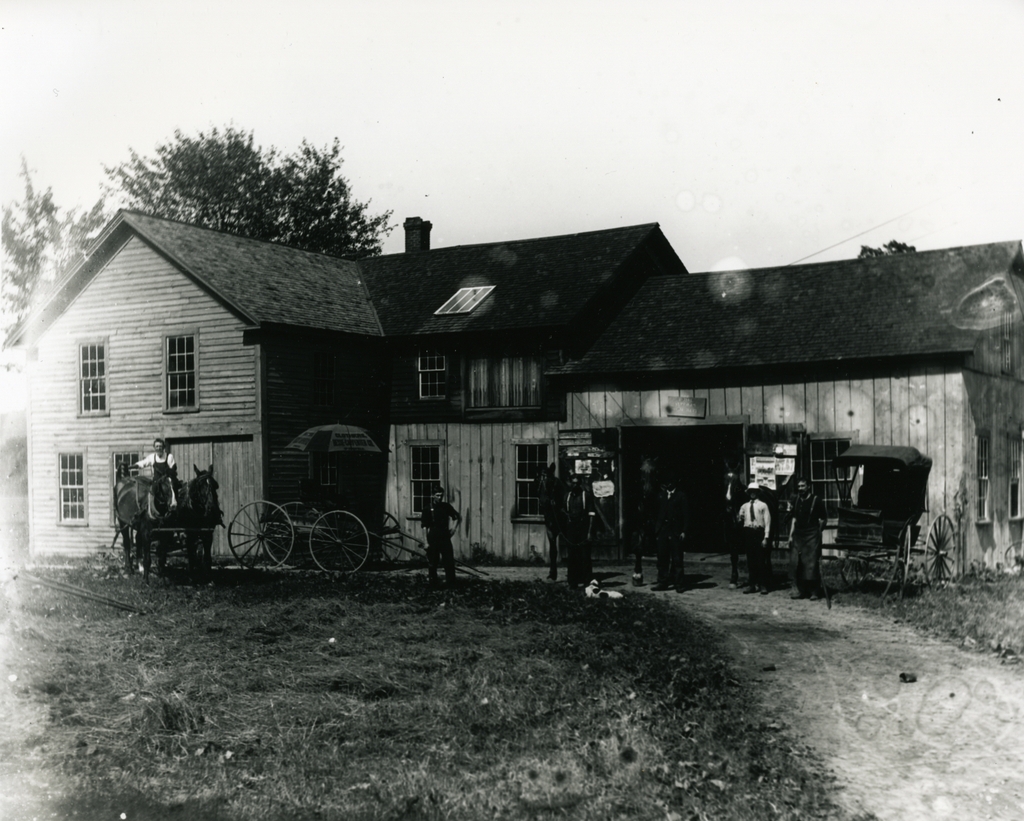
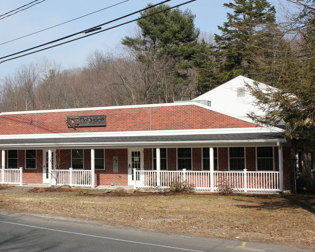
Springfield Women’s Club, Springfield, Mass

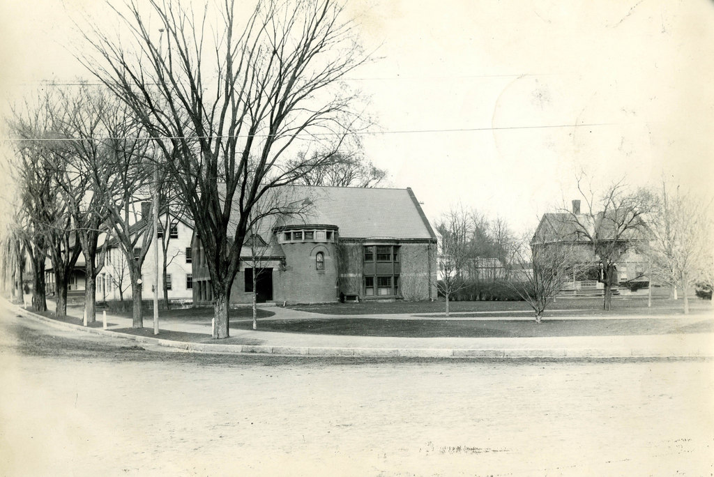
The Springfield Women’s Club building at the corner of Spring Street and Frost Street, around 1906-1910. Image courtesy of the Library of Congress, Detroit Publishing Company Collection.

372_1900-1910-2Bloc

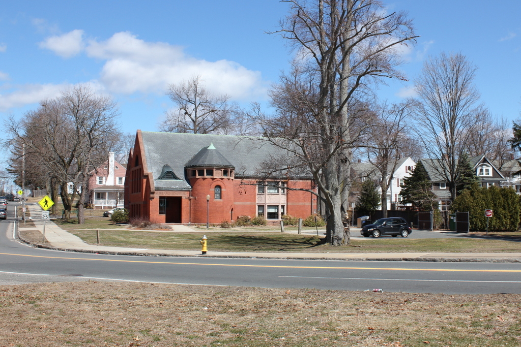
The building in 2014:

372_2014

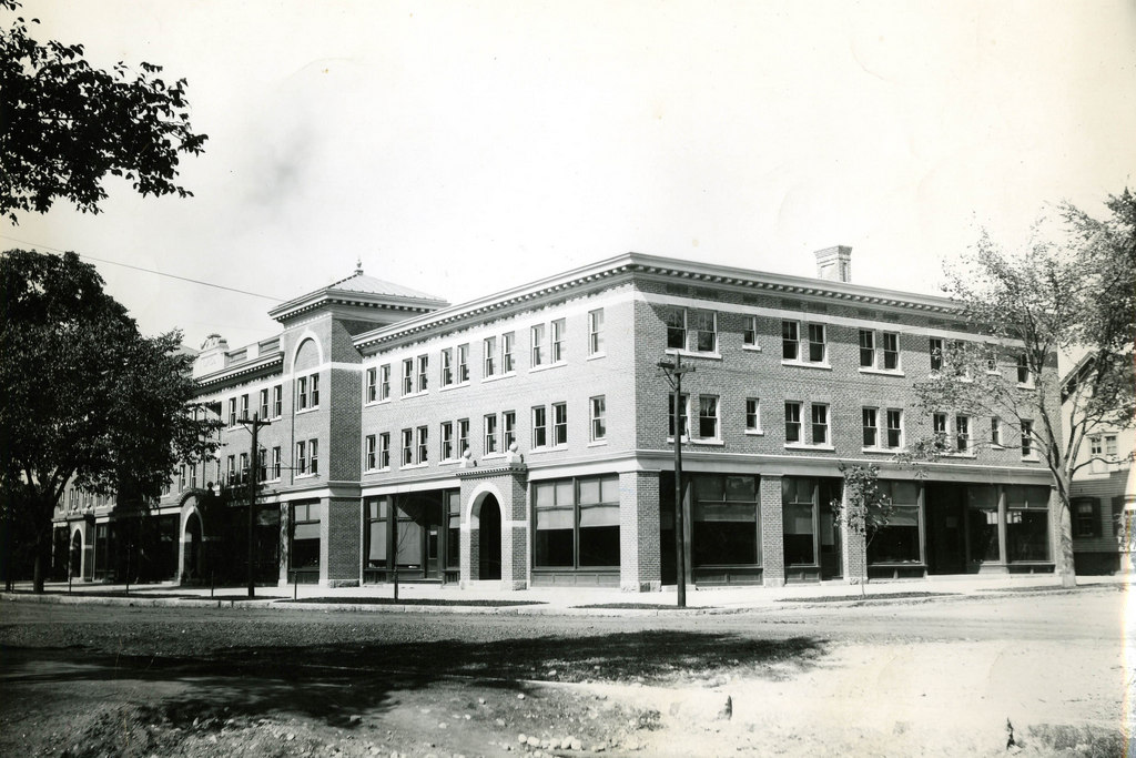
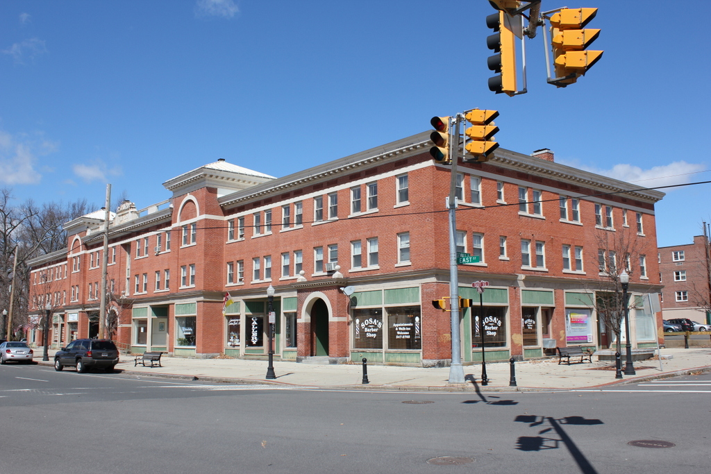
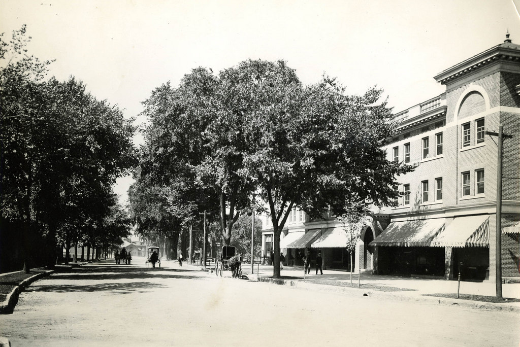
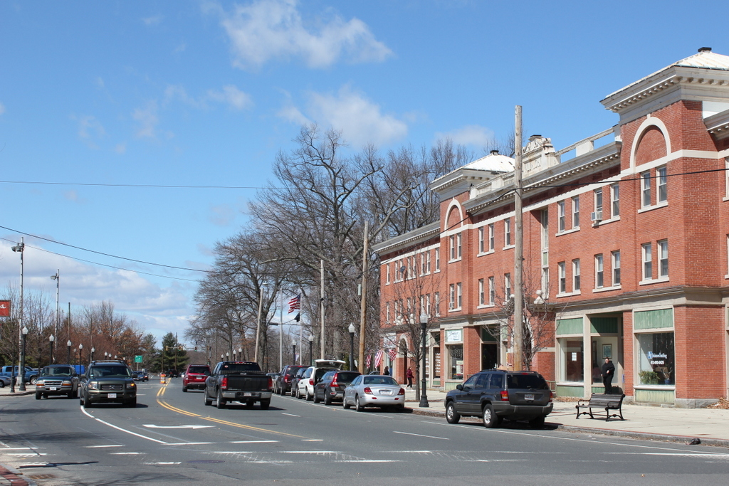
The first photo was taken around the time that the Springfield Women’s Club building opened on Frost Street.  A few changes have been made to the building over the years, including the addition of five windows on the Spring Street side of the building and a set of double doors beneath them.  Today, though, the overgrown weeds around the building contrast with the stately trees surrounding it in the first photo.  Both the building and the neighborhood have obviously seen better days, although I don’t know the current status of the structure.

Barrington Street, Halifax, Nova Scotia (2)

Another scene on Campbell Road (today’s Barrington Street) in Halifax, Nova Scotia, before the 1917 Halifax Explosion. Photo courtesy of the Nova Scotia Archives.

Canada

The scene in 2014:

353_2014

The first photo is undated, but the absolute earliest date would be 1888, although it is probably a little later than that, perhaps around 1900.  A few clues give it away, with one being fairly obvious: the Coca Cola advertisement on the side of the building.  Coca Cola was established in 1886, but it is unlikely that it would have made its way to Canada so quickly.  Perhaps less obvious of a clue is the bicycle leaning against the mailbox; this now-ubiquitous style of bicycle, known as the “safety bicycle” – because it was safer than a penny farthing – was not developed until the late 1880s.  Finally, the reference to “Kodaks” in the drugstore sign indicates that it must be 1888 or later, and probably later.  Kodak was founded in 1888, but the sign seems to indicate that people were already familiar with it by then, which suggests a somewhat later date.

These photos were taken from almost the same spot as the ones in this post, just from a slightly different angle, at the corner of Barrington and Young Streets.  As mentioned in the other post, this entire area would be leveled by the 1917 Halifax Explosion, and today the scene looks entirely different.  In the distance is the Angus L. MacDonald Bridge, one of two that cross the Narrows of Halifax Harbour, the same area where the explosion occurred.

Barrington Street, Halifax, Nova Scotia (1)

The view looking south on Campbell Road (today Barrington Street) sometime before the 1917 Halifax Explosion. Photo courtesy of the Nova Scotia Archives.

352_1860-1917-2Bnsarchives

The scene in 2014:

352_2014

It’s not in New England, but Halifax has historically had close ties with New England, particularly in the aftermath of the Halifax Explosion, when an ammunition ship exploded in the harbor on December 6, 1917, leveling much of the city and killing several thousand people.  This section of road was right near ground zero, and the buildings in the first photo, if they were still standing before the explosion, were certainly not standing afterward.  The first photo was probably taken around 1900, in what was at the time a mix of residential and commercial uses.  Today, the waterfront (left) side of the road is primarily industrial, with some commercial development to the right.  Overall, the c.1900 scene is entirely unrecognizable today.