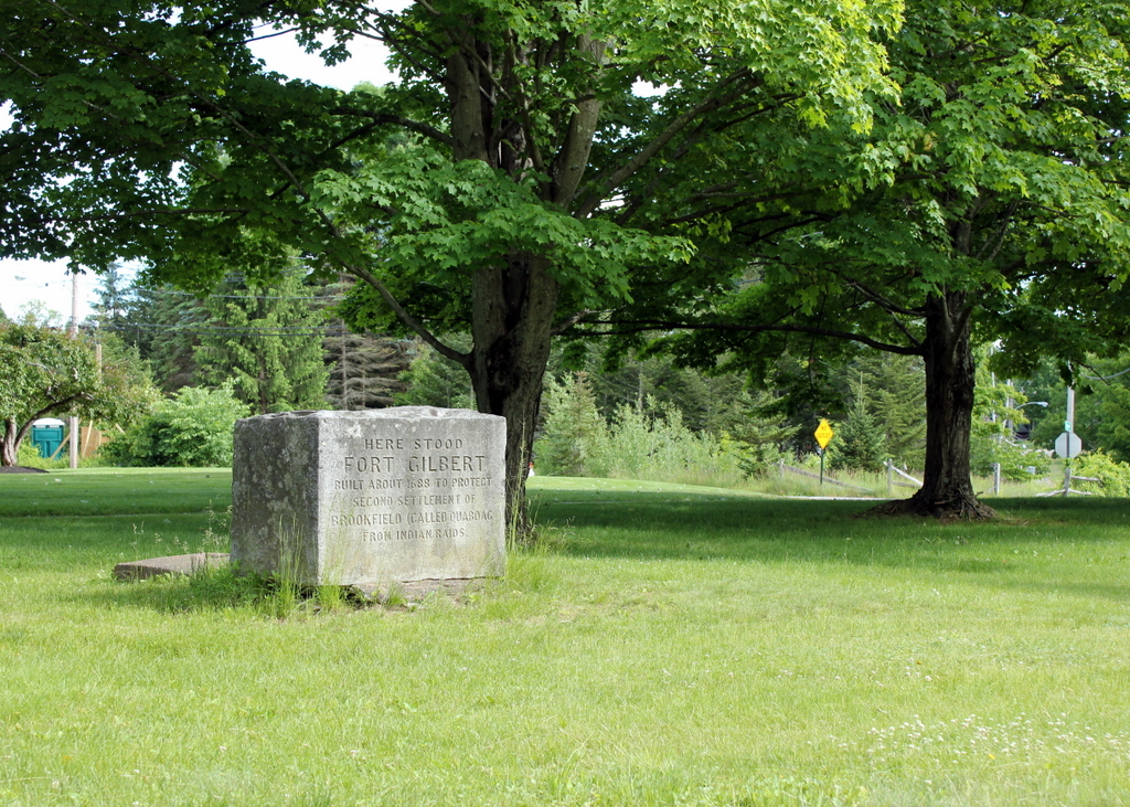
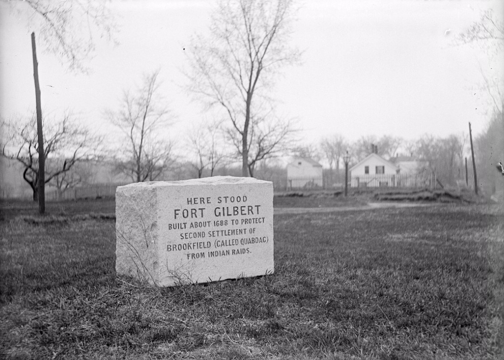
Fort Gilbert Monument, West Brookfield, Mass

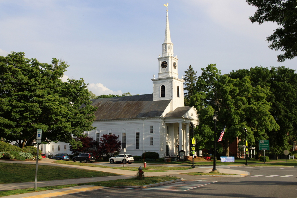
The Fort Gilbert Monument at the corner of North Main and Winter Streets in West Brookfield, around 1902-1927. Image courtesy of the Longmeadow Historical Society, Emerson Collection.

956_1902-1927 lhs

The monument in 2016:

956_2016
The town of Brookfield, which originally included present-day North, East, and West Brookfield, was first settled by Europeans in 1660 as the town of Quaboag. At the time, it was in a very isolated location in central Massachusetts, some 25 miles from the towns in the Connecticut River valley and twice as far from Boston and the other towns along the coast. Because of this, it was very vulnerable to an Indian attack, which occurred in 1675 during King Philip’s War. The town was destroyed and abandoned, with many of the settlers moving back to where they had previously lived.

Over a decade later, settlers returned, and this time they came better prepared for potential raids. They built four forts, including Fort Gilbert here in the western part of the town. It included barracks for soldiers and, if necessary during a raid, to house the families of the town, and it was surrounded by a stockade. The fort was still standing during the French and Indian War, although it was far removed from any battles, and some of its remains were still visible well into the 19th century.

Today, any evidence of the fort is long gone, but the site is marked with this simple monument, which was put here around 1900. It is located in a small park next to the West Brookfield Elementary School, on North Main Street just west of the town common.

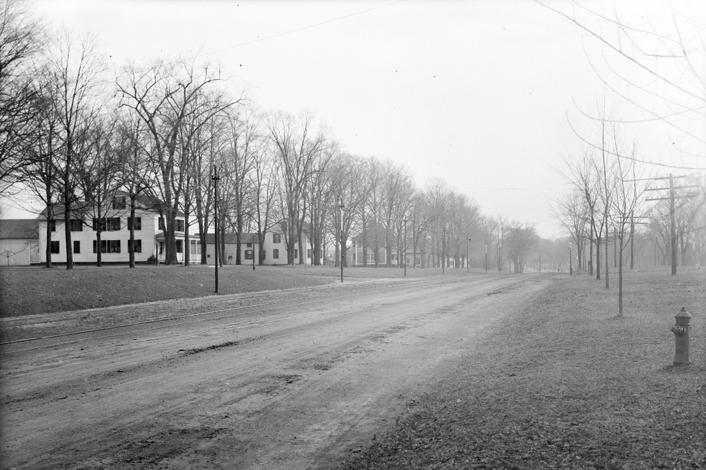
Longmeadow Street, Longmeadow, Mass

Looking south on Longmeadow Street from the corner of Bliss Road, on March 27, 1908. Image courtesy of the Longmeadow Historical Society, Emerson Collection.

952_1908-03-27 longhs

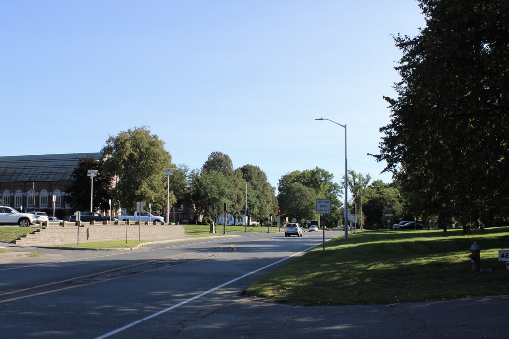
Longmeadow Street in 2023:

Most of the views along Longmeadow Street have not changed much over the past century, but here there are some noticeable differences. To the left is St. Mary’s Church, which was built in the early 1930s along with the house next to it. They replaced the two houses on the left side of the first photo, but the third house in the distance is still standing. It is now part of Bay Path University, whose main campus is located on the right side of the street, just out of view in this scene.

Another change from the first photo is the trolley tracks, which were built in the 1890s. Part of the Springfield Street Railway, they helped to spur development in Longmeadow by making it easy for people to live here and commute to Springfield. This led to new housing developments such as the scenes in earlier posts on Bliss Road and Belleclaire Avenue, both of which are just around the corner from here.

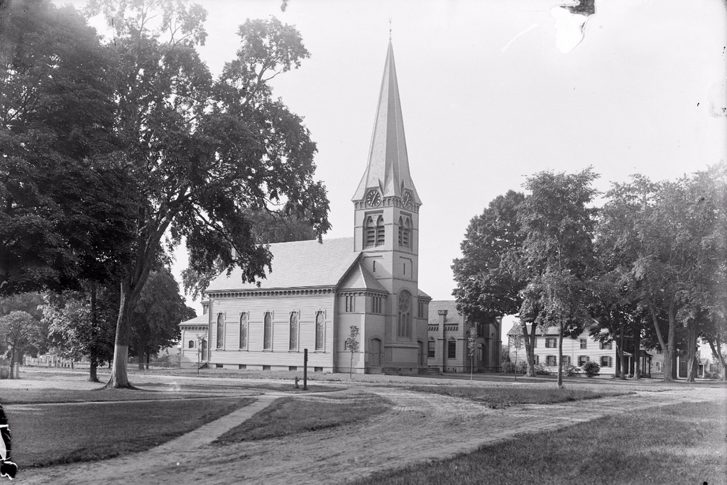
First Church of Christ, Longmeadow, Mass

The First Church at the corner of Longmeadow Street and Williams Street, sometime in 1907. Image courtesy of the Longmeadow Historical Society, Emerson Collection.

948_1907 longhs

The church in 2024:

It doesn’t look like it at first, but this is the same church building in both photos. In fact, Longmeadow’s First Church of Christ is one of the oldest church buildings in Western Massachusetts, although I’m not sure how much of the original building is still left at this point. Up until 1783, Longmeadow was part of Springfield, and for many years its residents attended church there, nearly four miles away. They finally received permission to build their own church in 1716, which lasted for about 50 years before it was replaced with the present church in 1768.

The church was originally located on the Town Green, but in 1873 it was moved to its present location and drastically remodeled, as seen in the first photo. This Gothic style appearance was popular in the mid-1800s, but by the early 1900s it had fallen out of fashion, so in 1932 it was remodeled again to restore it to a colonial style. I haven’t seen any photos of the church in its original appearance, but it probably still looked a little different than it does now. In particular, the front portico would have been virtually unheard of in New England in 1768; this element was added with the 1932 renovation and modeled after the one on Arlington Street Church in Boston. There are a few features that date back to the early years of the church, though – the bell was cast in 1808 by Paul Revere and recast by him in 1812 after it cracked, and the rooster on top of the steeple is even older than the building itself. Its origins are unclear, but it has watched over the center of Longmeadow since at least 1732.

First Church Parsonages, Longmeadow, Mass

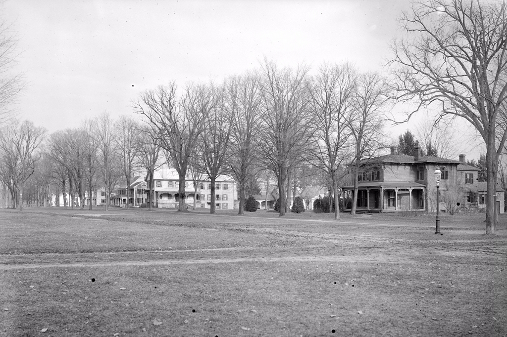
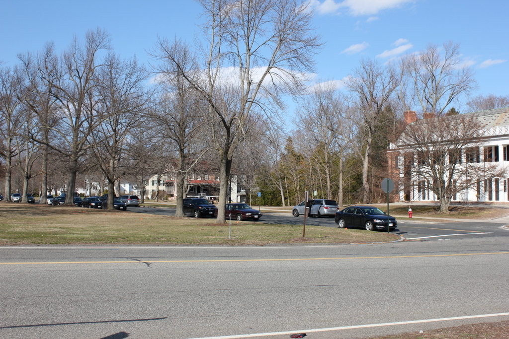
Looking south along the Town Green from Williams Street in Longmeadow, around 1902-1921. Image courtesy of the Longmeadow Historical Society, Emerson Collection.

947_1902-1927c longhs

The view in 2016:

947_2016
The first photo shows two of the houses that have been used as the parsonage for Longmeadow’s First Church of Christ, which is located just out of view to the right of the photos. The building in the distance just to the left of center is the Cordis House, which was built in 1832 for Jonathan Condit, the pastor of the church. He briefly lived here, as did the next pastor, Hubbard Beebe, but in 1845 it was sold to Thomas Cordis, whose descendants continue to own the house.

The house on the right side of the first photo was built only 25 years later, but it shows a shift in architectural style from the fairly plain Green Revival design of the Cordis House to the far more decorative Italianate style that became popular in the mid 19th century. This parsonage was built in 1857, and was first occupied by John Wheeler Harding, who served as pastor from 1850 until 1891. Several other pastors lived here before it was moved in 1921 to build the Community House. The old parsonage is now located just to the south of the church, where it has been used as a church school, the residence of the church caretaker, and currently as a Montessori school.

Town Green, Longmeadow, Mass

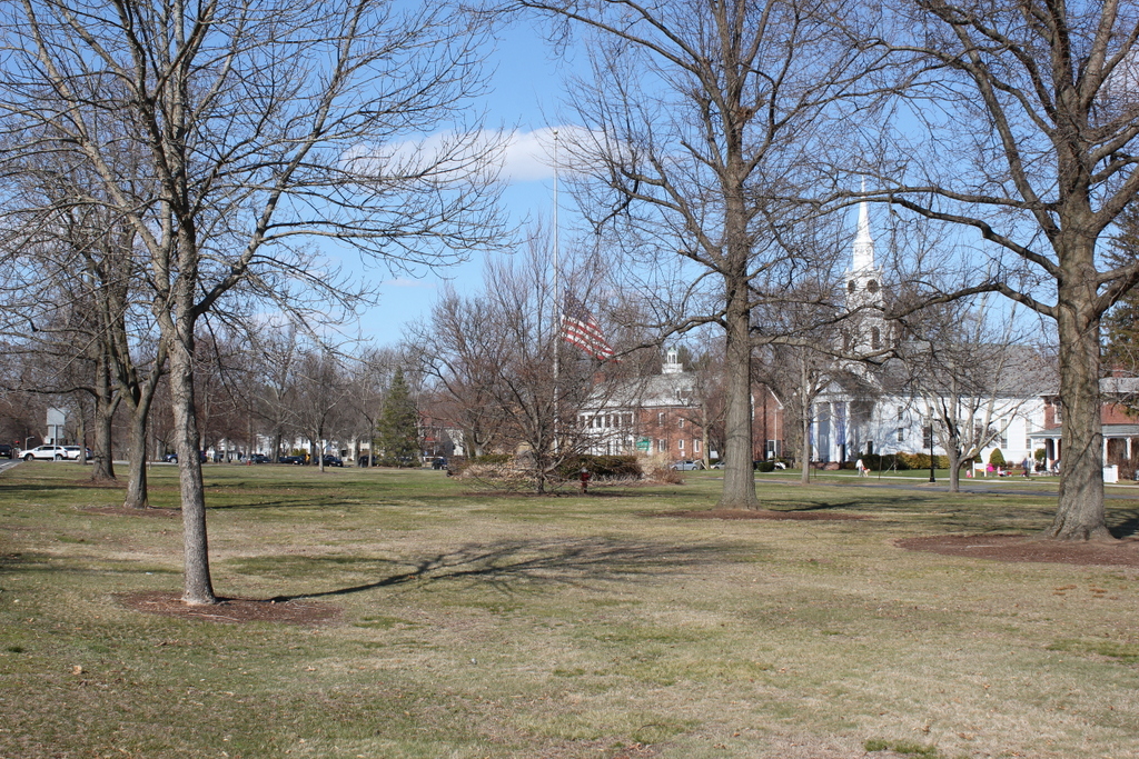
Facing north on the Town Green in Longmeadow, on July 5, 1903. Image courtesy of the Longmeadow Historical Society, Emerson Collection.

946_1903-07-05 longhs

The Green in 2016:

946_2016
Longmeadow’s Town Green is a historic district on the National Register of Historic Places, and it is surrounded by a number of buildings dating back to the 18th and 19th centuries. There have been some changes since the first photo was taken, particularly to the church and its parsonage. The church, surprisingly, is the same one from the first photo, just with some significant alterations, and the parsonage is the same building, just in a different location. It is located in about the center of the 1903 photo, just north of Williams Street, but it was moved to the other side of the church around 1921, where it is visible on the far right in the 2016 photo. The large Colonial Revial-style Community House, which was built on the old site of the parsonage in 1921, is the newest building in this scene and the only one that does not appear in the 1903 photo.

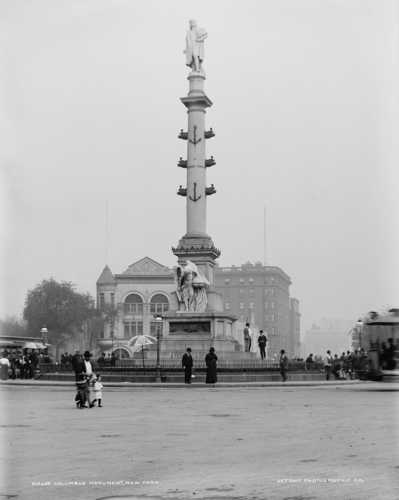
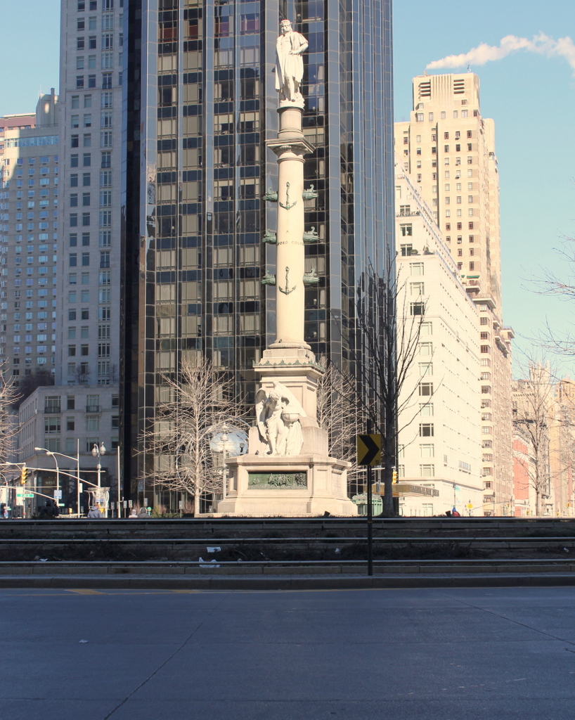
Columbus Circle, New York City

Looking north at Columbus Circle, with the statue of Christopher Columbus in the foreground, around 1900. Image courtesy of the Library of Congress, Detroit Publishing Company Collection.

935_1900c loc

Columbus Circle in 2016:

935_2016
Not much has remained the same at Columbus Circle since the first photo was taken; even the configuration of the circle itself has seen some dramatic changes. The one constant in both photos, though, is the Christopher Columbus monument in the center of the circle. It was designed by sculptor Gaetano Russo and dedicated in 1892 in honor of the 400th anniversary of Columbus’s voyage. When the first photo was taken, it was easily the most prominent landmark in the scene, but today it has a backdrop of high-rise buildings along Broadway and Eighth Avenue, including the Trump International Hotel and Tower, located directly behind the monument in the 2016 photo.