Public Garden, Boston

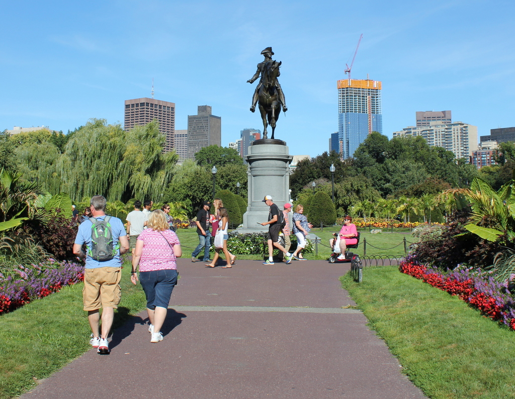
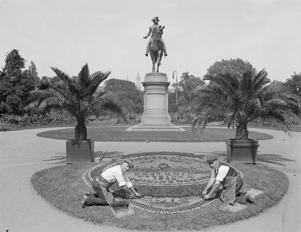
Looking east in the Public Garden from the Arlington Street entrance, facing the statue of George Washington, around 1917-1934. Image courtesy of the Boston Public Library, Leslie Jones Collection.

783_1917-1934c bpl

The view in 2015:

783_2015
Boston Common was established in 1634 as the first public park in the country, and just over 200 years later, in 1837, the Boston Public Garden was created just to the west of it, as the first public botanical garden in the United States. The carefully-landscaped garden includes a pond, a bridge, a wide variety of plants, and several statues, including one of George Washington seen in these two photos.  The bronze statue has stood here since 1869, and it was designed by noted Boston sculptor Thomas Ball, whose other works include the Emancipation Memorial at nearby Park Square.

Some of the landscaping has changed at this entrance to the garden, and there are no floral arrangements like the one the men are working on in the first photo, but the most dramatic change in the past 80 or so years is the city skyline in the distance. When the first photo was taken, height restrictions prevented large skyscrapers from being built in the city, and the only one visible was the Custom House Tower, which, as a federal building, was immune to the city’s restrictions. Today, though, the restrictions are long gone, and Boston’s skyline continues to grow; the Millennium Tower, under construction to the right in the 2015 scene, will become the third-tallest in the city and the tallest in downtown when it is completed later in 2016.

Arlington Station, Boston

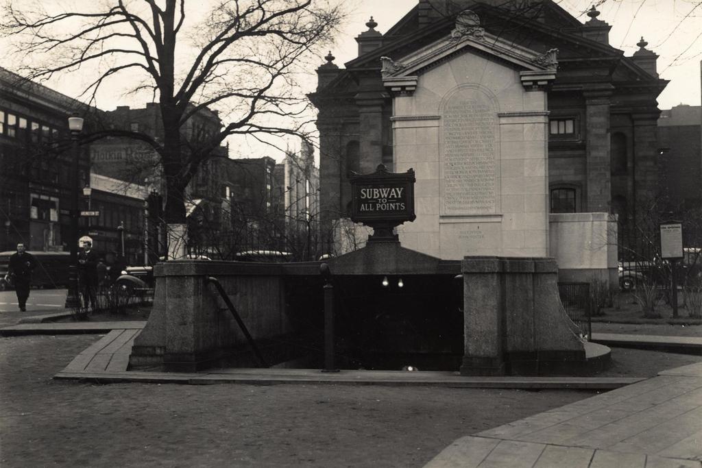
The entrance to the Arlington subway station, taken from the Boston Public Garden in front of the Arlington Street Church, on March 17, 1937. Image courtesy of the City of Boston Archives.

680_1937-03-17

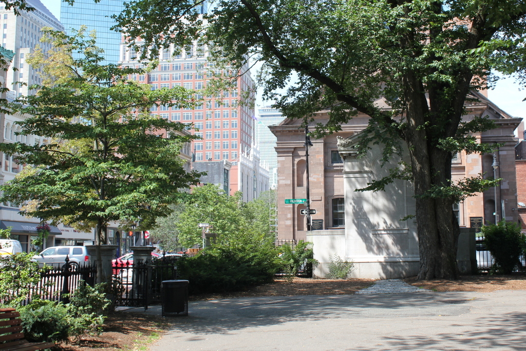
The scene in 2015:

680_2015
When the present-day Green Line subway tunnel was built in 1897, it only went as far west as Arlington Street; from here, the trolleys came to the surface (as seen in this post) and traveled along the center of Boylston Street through the Back Bay.  However, in 1914 the subway was extended west to Kenmore Square, and from here the closest stations were either a third of a mile to the east at Boylston, or an equal distance to the west at Copley Square.  This gap was resolved in 1921 when Arlington station opened here, with the original entrance being located in the Public Garden at the corner of Arlington and Boylston Streets.

The station has been renovated over the years, and the Public Garden entrance no longer exists, but many of the surrounding buildings from nearly 80 years ago are still standing.  The most prominent is the 1861 Arlington Street Church, which is partially blocked in both photos by the back of a statue and monument honoring William Ellery Channing, a Unitarian minister who was once the pastor of the congregation that later built the church.  Many of the buildings along Boylston Street in the distance are also still there today, but the skyline behind them has dramatically increased; some of the skyscrapers visible today include the old John Hancock Building, the new John Hancock Tower, and the Prudential Tower.

Public Garden Incline, Boston (2)

Trolleys at the Public Garden Incline at the corner of Boylston and Arlington Streets in Boston, around 1910-1911. Image courtesy of the Library of Congress, Detroit Publishing Company Collection.

338_1910-1920-2Bloc

The scene in 2014:

338_2014

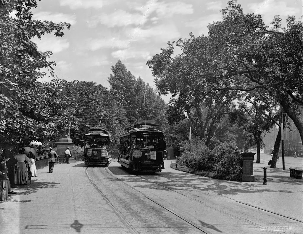
These were taken from near the location of the photos in this post, showing trolleys entering and emerging from the Tremont Street Subway onto Boylston Street.  The car on the right-hand side is returning from Brookline Village, and the one on the left is heading toward Huntington Avenue, along the modern-day E Branch of the Green Line.  This car is particularly intriguing, because one of the flyers on the front reads “Baseball to-day American League Huntington Avenue,” The exact date of this photo isn’t clear, and the Library of Congress estimates that it was taken between 1910 and 1920, but this little flyer indicates that it couldn’t have been any later than 1911, the last year that the Red Sox played at Huntington Avenue before moving to Fenway Park.  Many of the people on the trolley are probably fans heading to the game, and will likely see future Red Sox legends such Smoky Joe Wood, Tris Speaker, and Harry Hooper.  Today, Red Sox fans still travel along this route to get to the game, although the incline that the trolleys once emerged from has been closed for a century, and no evidence remains on the surface that it ever existed.

Public Garden Incline, Boston (1)

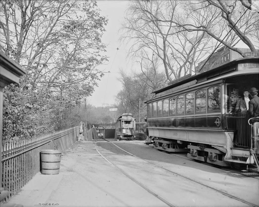
Trolleys entering and exiting the Tremont Street Subway at its southern end at the Boston Public Garden, around 1904. Image courtesy of the Library of Congress, Detroit Publishing Company Collection.

337_1904c-2Bloc

The scene in 2014:

337_2014

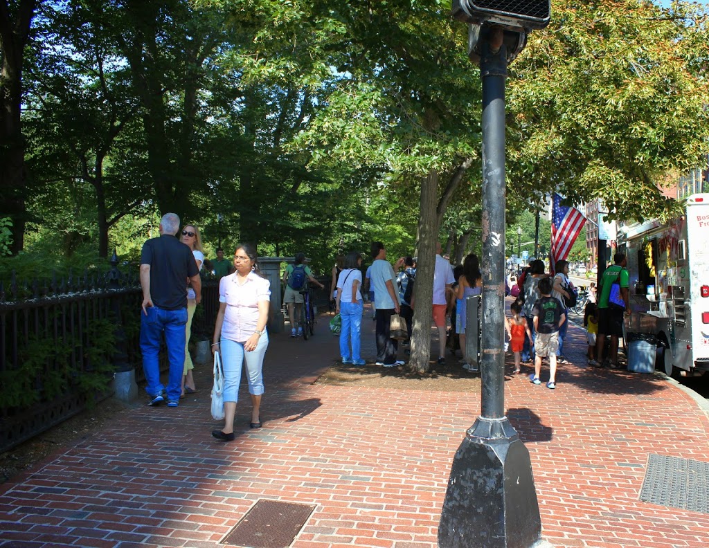
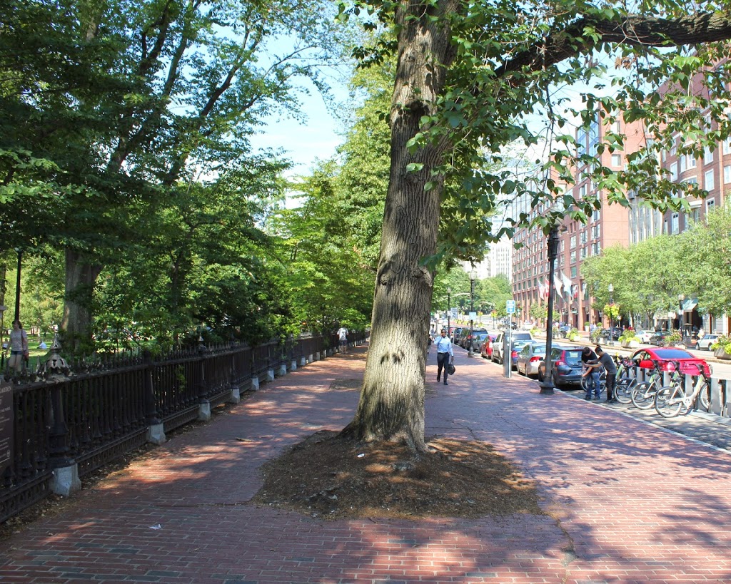
When the Tremont Street Subway opened in 1897 as the first subway in the country, trolleys ran underground from downtown all the way until the corner of Arlington and Boylston, where the tracks emerged here and continued along Boylston Street to points west.  The three cars in the first photo represent three different routes, with the one on the far right returning from Newton, the one ahead of it coming from Roxbury, and the one in distance is heading toward Huntington Avenue.  Today’s Green Line still has four different branches, all that is left of what was once a much larger streetcar system.  The subway portal itself closed in 1914, when the subway was extended under Boylston Street to Kenmore, and no evidence remains on the surface to suggest that trolleys once emerged here from underground.

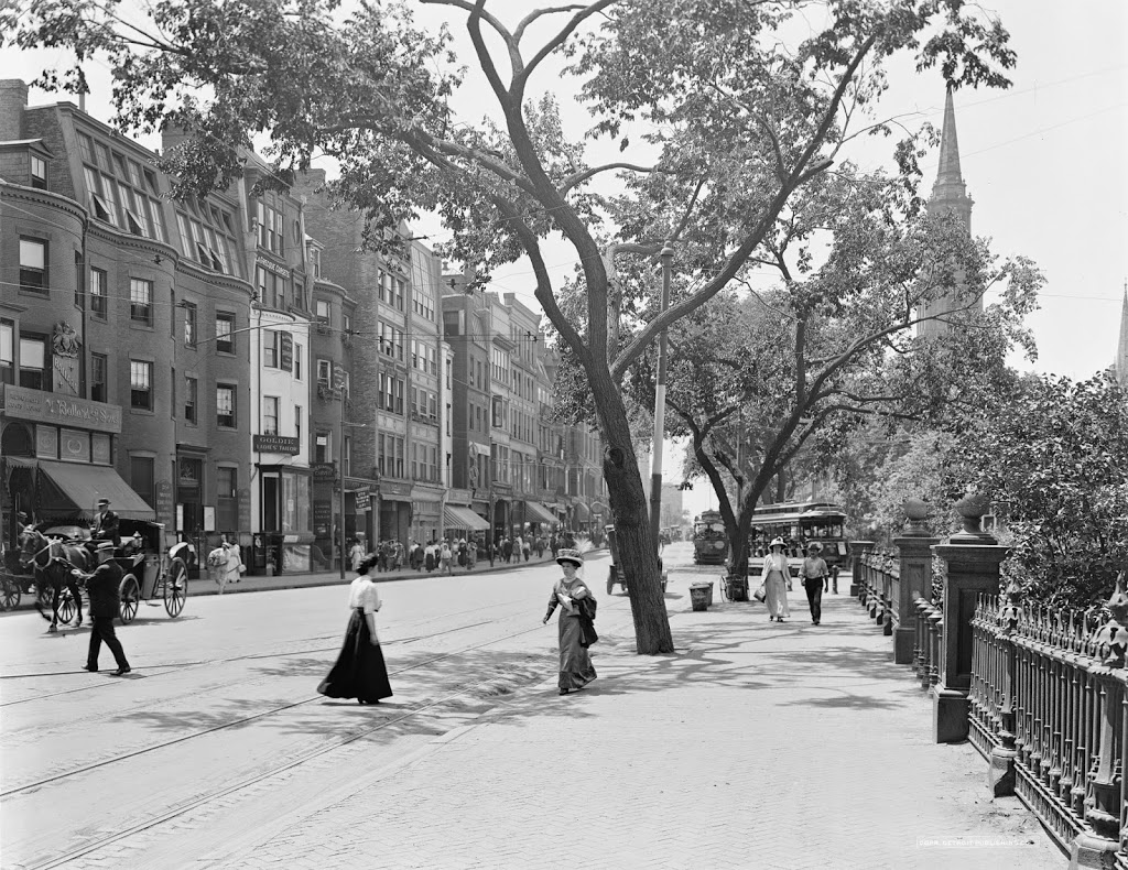
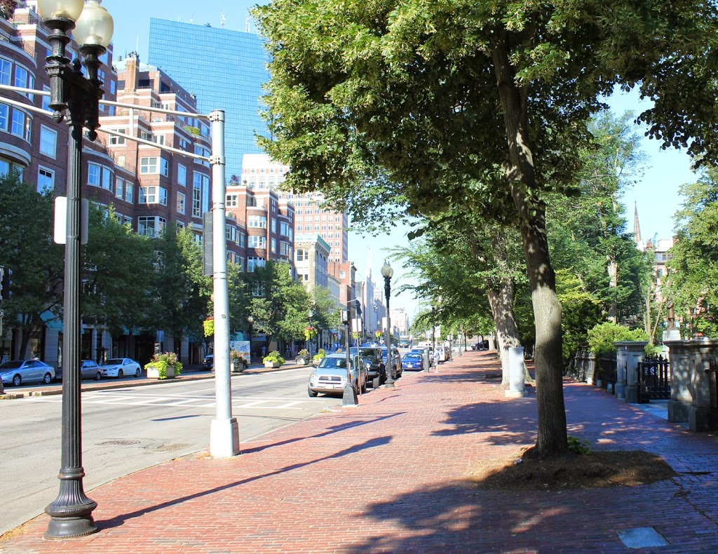
Boylston Street, Boston

Looking west on Boylston Street toward Arlington Street, between 1910 and 1914. Image courtesy of the Library of Congress, Detroit Publishing Company Collection.

259_1910-1920c-loc

Boylston Street in 2014:

259_2014

The buildings on the left are a little taller, but otherwise not a great deal has changed in this scene.  The Boston Public Garden to the right is still there, and Arlington Street Church, although hidden by the trees in 2014, is still there.  Notice, however, the trolleys in the background.  At the time, trolleys running on the present-day Green Line would travel along Boylston until Arlington, and then descend into the subway in the Public Garden.  From here, they would travel under Boylston and Tremont Streets, and eventually emerge from the subway near North Station.  This was the first subway tunnel in North America, and was opened in 1897.  However, the presence of the trolleys gives an upper limit to the date of this photo; in 1914, the subway tunnel under Boylston Street was extended to Kenmore Square.  A new incline was built here, in the center of Boylston Street, to serve what is now the “E” Branch of the Green Line; this branch was not put underground until 1941, at which point the Public Garden incline was permanently closed.

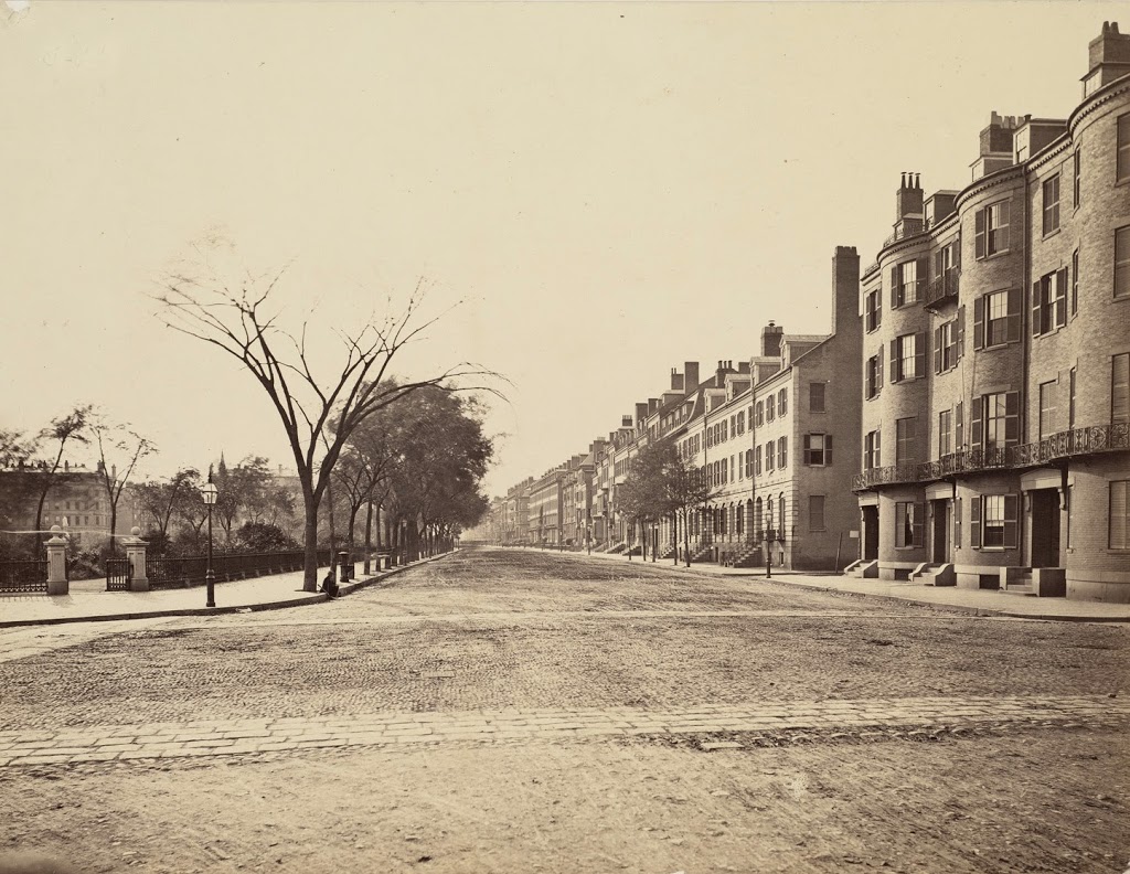
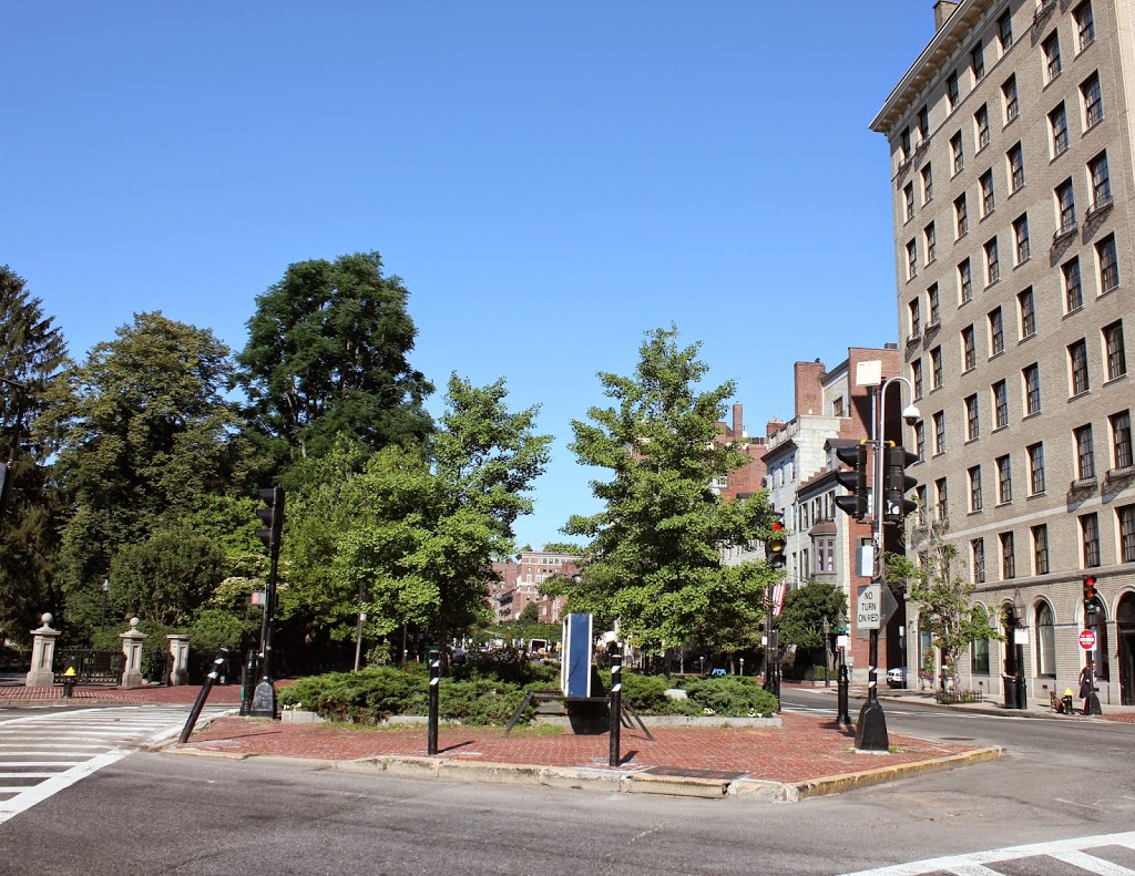
Beacon Street looking west from Charles Street, Boston (1)

The view looking west on Beacon Street from Charles Street, between 1865 and 1870. Image courtesy of the Boston Public Library.

246_1865-1870c-bpl

The same view in 2014:

246_2014

The buildings in the distance in the first photo would have been almost brand-new; these are part of the Back Bay neighborhood, and would have been built within about ten years before the photo was taken.  The buildings in the foreground, however, are much older.  The granite rowhouses just past the brick building on the far right of the first photo are still there; they were built in 1828, almost a decade before the Public Garden across the street was even established.  The brick townhouse next to it in the foreground was probably even older, although it was demolished at some point, probably around 1917, when the tall apartment building in the 2014 photo was built.