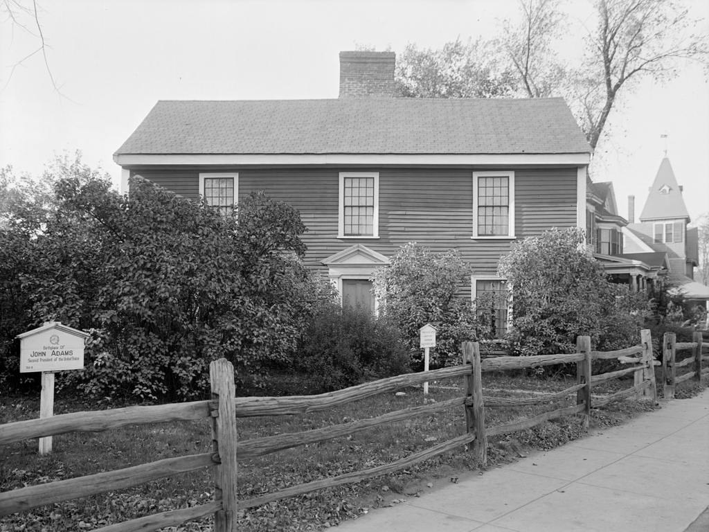
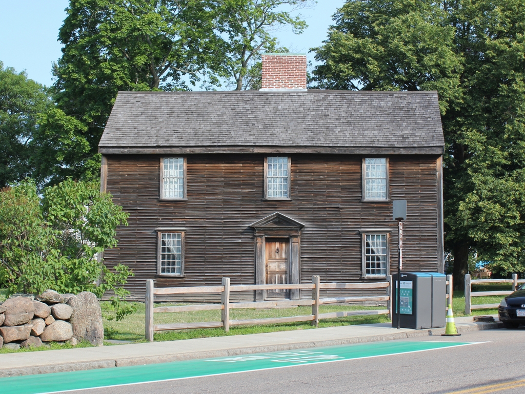
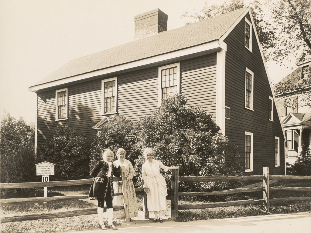
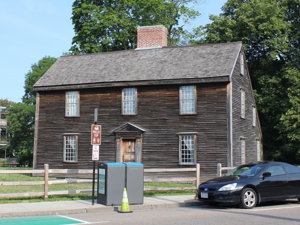
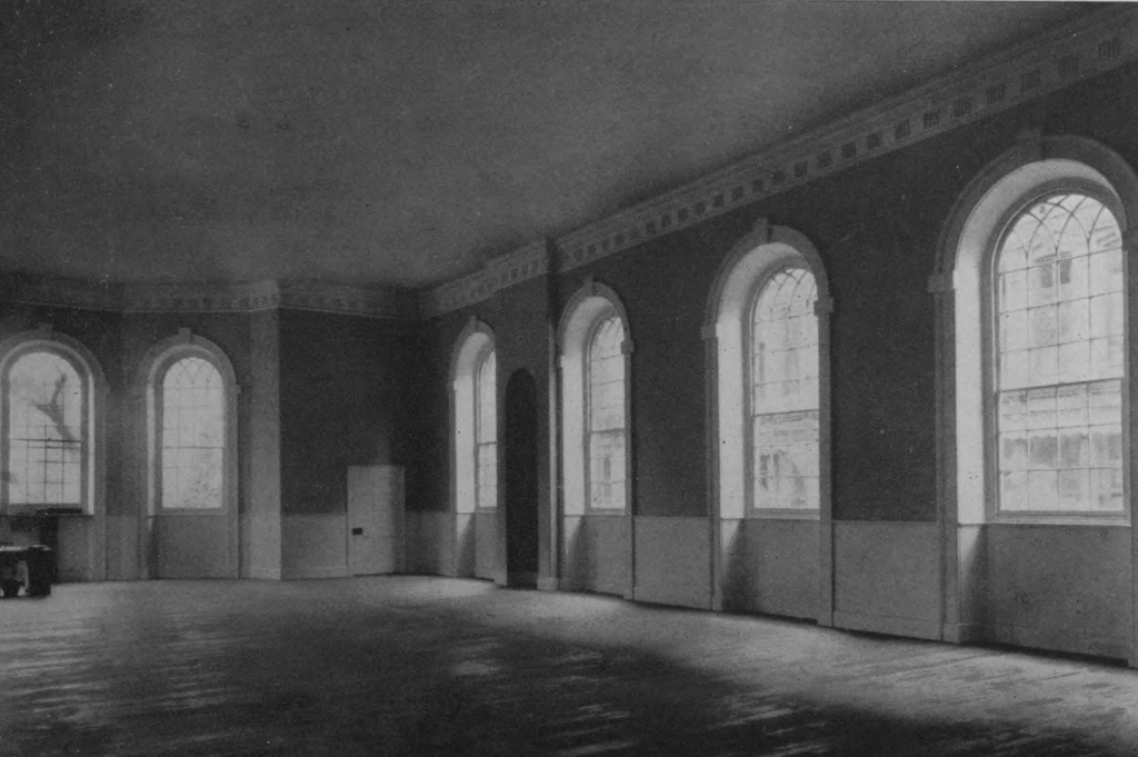
The House of Representatives Chamber in Congress Hall, around 1925. Image from Byways and Boulevards: In and About Historic Philadelphia (1925).
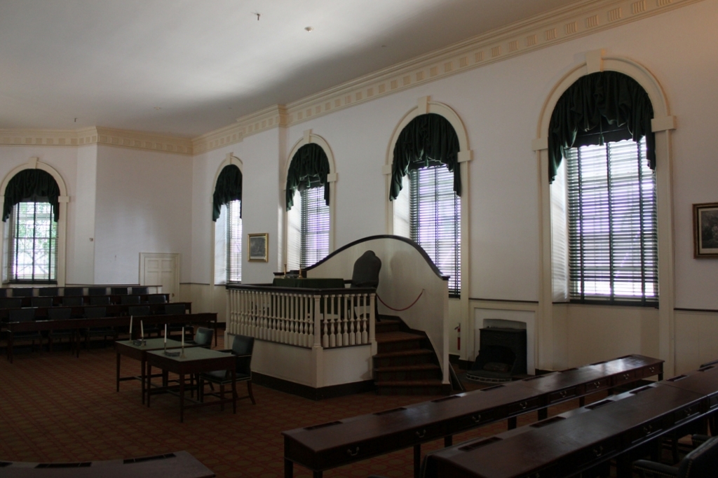
The scene in 2019:
As discussed in an earlier post, Congress Hall served as the national capitol building from 1790 to 1800, during the formative years of the American government. It was here that the Bill of Rights was added to the Constitution, and where both George Washington and John Adams were inaugurated, and where numerous debates occurred regarding the role of the federal government. The building is small, especially when compared to the neighboring Independence Hall, and nearly the entire first floor is occupied by the House chamber, as shown here. The smaller Senate chamber is upstairs on the southern side of the building, and the rest of the upper floor consists of committee rooms.
Philadelphia had served as the national capital throughout most of the American Revolution, aside from several interruptions during British occupations. The Continental Congress met in the Pennsylvania state house, which later came to be known as Independence Hall, and it was there that the delegates signed the Declaration of Independence in 1776. However, at the end of the war in 1783, Congress was threatened by a mob of American soldiers who gathered to demand payment for their wartime service. The state government declined to call out the militia to protect Congress, so the delegates left the city and met in several different cities over the next few years before ending up in New York in 1785.
New York would serve as the national capital for the next five years, but in 1790 Congress passed the Residence Act, designating present-day Washington D.C. as the new capital. This was done as a compromise with the southern states, in exchange for their support for federal assumption of state wartime debts. However, before the federal government could relocate to Washington, the city had to be built from scratch, so the law also provided that Philadelphia would serve as a temporary capital until 1800.
When the federal government returned to Philadelphia in 1790, it did not use Independence Hall. Instead, the government used two newly-constructed buildings that flanked the state capitol. On the east side of Independence Hall was the new Philadelphia City Hall, which was occupied by the U.S. Supreme Court. Here on the west side, this building was originally intended to be the Philadelphia County Courthouse, but it was repurposed to serve as the capitol building instead. It was originally slightly smaller, but in 1793 it was expanded with a 26-foot addition on the south side, in order to accommodate the increased size of Congress after the 1790 census.
Congress met here in this building for the first time on December 6, 1790, at the start of the third session of the First Congress. This was before the start of formal, organized political parties, but Congress was divided between the Pro-Administration and Anti-Administration factions. The Pro-Administration group, which would later become the Federalist Party, held majorities in both houses, with Pennsylvania native Frederick Muhlenberg presiding over the House sessions here as the nation’s first Speaker of the House.
Congress remained in session here until March 3, 1791, and during this time they passed several important bills. One of these chartered the First Bank of the United States, and another established the Tariff of 1791. Both were important steps in Alexander Hamilton’s financial plan for the country, but the latter would prove particularly controversial, eventually leading to the Whiskey Rebellion. During this session, Congress also admitted Vermont as the 14th state in the union. Formerly a de facto independent nation, Vermont became the first new state added to the country after the original 13 colonies.
Over the next few years, Congress enacted a number of other important pieces of legislation. Both the Post Office and the US Mint were established here in 1792, and in 1794 Congress authorized the first six ships of the US Navy, including the USS Constitution. Four years later, Congress created the Department of the Navy, along with the US Marine Corps. More controversially, in 1795 the Senate ratified the Jay Treaty in their chamber upstairs, and in 1798 both houses enacted the Alien and Sedition Acts.
This building was also the site of two presidential inaugurations. In 1793, George Washington was inaugurated to his second term in the Senate chamber, and then four years later John Adams was inaugurated here in the House chamber. This latter event was particularly remarkable because it featured a retiring head of state who was voluntarily transferring power to a successor. Although this would become commonplace in American politics, it was in sharp contrast to the European monarchies of the era. John Adams’s inauguration was also the first to occur after a contested presidential election, and the runner-up in the election, Thomas Jefferson, became vice president in accordance with the Electoral College system in place at the time.
The inauguration occurred here in this room on March 4, 1797. Writing about the event two days later, the Philadelphia Gazette and Universal Daily Advertiser published the following account:
At an early hour, a great number of citizens had assembled round Congress Hall, to witness the retirement of our late worthy President WASHINGTON from public life. The concourse increased to such a degree as to fill the streets and when the gallery doors were thrown open, the house was suddenly filled up, to overflowing.—The Ladies added to the dignity of the scene, number of them were seated in the chairs of the representatives, and others were accommodated with seats on the floor of the house. A few minutes after the Senate arrived preceded by their President, George Washington entered, but before he had advanced half way across the floor, a burst of applause broke forth from every quarter of the house—on the entrance of John Adams like marks of approbation were expressed.
Adams was inaugurated by Chief Justice Oliver Ellsworth, and he gave his inaugural address here in the House chamber. In his speech, Adams praised the Constitution, warned of potential dangers to American liberty, and extolled the virtues of George Washington. His speech also set a yet-unbroken record for the longest individual sentence in any presidential address. At 727 words, it comprised nearly a third of his entire speech, and it was more than five times the length of Washington’s entire second inaugural address.
Along with the presidential inaugurations, Congress Hall was also the site of the annual State of the Union addresses, which were delivered before joint sessions of Congress. From 1790 to 1793, these occurred in the Senate chamber, but starting in 1794 the larger House chamber was used. George Washington and John Adams each gave three State of the Union addresses here in the House chamber, including Washington’s final address to Congress on December 7, 1796. This speech is often confused with his Farewell Address, which had been published several months earlier. However, these were two distinct works, and despite its name, the Farewell Address was not actually presented as a speech, nor was it his final public statement as president. For his December speech here at Congress Hall, Washington gave an overview of the preceding year and his recommendations for the future, and then closed his presidency with the following remarks:
The situation in which I now stand, for the last time, in the midst of the Representatives of the People of the United States, naturally recalls the period when the Administration of the present form of Government commenced; and I cannot omit the occasion, to congratulate you and my Country, on the success of the experiment; nor to repeat my fervent supplications to the Supreme Ruler of the Universe, and Sovereign Arbiter of Nations, that his Providential care may still be extended to the United States; that the virtue and happiness of the People, may be preserved; and that the Government, which they have instituted, for the protection of their liberties, maybe perpetual.
Other than the two presidents who were inaugurated and delivered State of the Union addresses here, many of the nation’s early leaders served as legislators in this building. James Madison was a representative from Virginia until 1797, and his time here in this room helped to establish himself as one of the founders of the Democratic-Republican Party. During the early 1790s, Madison’s fellow Virginian and eventual presidential successor James Monroe also served here in Congress, although he was a senator. Early in his political career, Andrew Jackson briefly served here from 1796 to 1797 as the first representative from Tennessee, before becoming a senator later in 1797. Another young politician who served here in this room was William Henry Harrison, who represented the Northwest Territories as a non-voting delegate from 1799 to 1800, more than 40 years before he was elected president.
Although Philadelphia had been designated as merely a temporary capital, many here held out hope that the nation’s second-largest city would ultimately prove more attractive to the federal government than the nearly uninhabited swampland along the Potomac. However, despite efforts by locals to make Philadelphia the permanent capital, Congress adjourned its final session here on May 14, 1800. When they reconvened in the fall, it was in Washington, DC, in the unfinished US Capitol.
With Congress gone, this building returned to its intended purpose as a courthouse, and by 1824 it was occupied by at least eight different courts in four courtrooms. Here on the first floor, the former House chamber had been divided into two courtrooms, with a hallway and stairs in between them. On the north side was the District Court for the City and County of Philadelphia, and on the south side was the Court of Common Pleas. This latter courtroom was also used by the Orphan’s Court, the Courts of Oyer and Terminer and General Gaol Delivery, and for the Quarter Sessions. On the upper floor, the north side of the building was occupied by the Supreme Court of Pennsylvania for the Eastern District, and the former Senate chamber on the south side was occupied by both the federal district court and the federal circuit court. Also on the second floor was a law library and the office of the controllers of public schools, which were located along a hallway in between the two courtrooms.
Many of these courts would eventually move to different buildings, but the Court of Common Pleas remained here until 1895. With this court’s departure, the future of Congress Hall was uncertain. By this point it was widely recognized as a landmark worthy of restoration, but it was also in poor condition. One 1902 news article, which appeared in newspapers across the country, described how it was in a “frightful state of dilapidation,” and how “[t]he floor has fallen in and pillars, plaster and gallery railings are lying in the cellar.” The city agreed to spend $30,000 toward restoring the building, but evidently little work was done, because by 1909 it was in a “shocking state of decay,” as described by the Philadelphia Inquirer, which published the following description:
Stripped of all relics and the walls dropping their plaster, the interior presents a lamentable appearance. An architectural firm several years ago took up much of the flooring to study how the structure had been built, and nothing has ever been done to repair the floor, which adds to the general air of decay.
Finally, the full-scale restoration work began around 1911, and it was completed two years later. It was rededicated on October 25, 1913, in a ceremony that was attended by many dignitaries, including prominent Philadelphia businessman John Wanamaker, Mayor Rudolph Blankenburg, US Speaker of the House Champ Clark, and President Woodrow Wilson. The main event was held here in the former House chamber, with Wilson giving a speech that emphasized the role that this building played in the early history of the nation, along with the lessons that modern-day Americans could take from the founding generation.
The first photo was probably taken about a decade or so after the renovation was completed. It shows the view of the House chamber facing southwest, with the buildings on the other side of Sixth Street visible through the windows. At the time, the room was still unfurnished, but in 1934 it underwent further restoration with the installation of replica desks and a new speaker’s rostrum, in order to better reflect its 18th century appearance.
Today, about a century after the first photo was taken, Congress Hall remains an important historic landmark here in Philadelphia. Although overshadowed by the fame of the neighboring Independence Hall, this modest two-story brick building nonetheless played a vital role in the early history of the United States. It is now preserved as part of the Independence National Historical Park, and it is open to the public for free guided tours of both the House and Senate chambers.

