Cocoanut Grove, Boston (3)

Another view of the aftermath of the November 28, 1942 fire at the Cocoanut Grove nightclub in Boston, seen from the Shawmut Street entrance. Image courtesy of the Boston Public Library.

684_1942 bpl

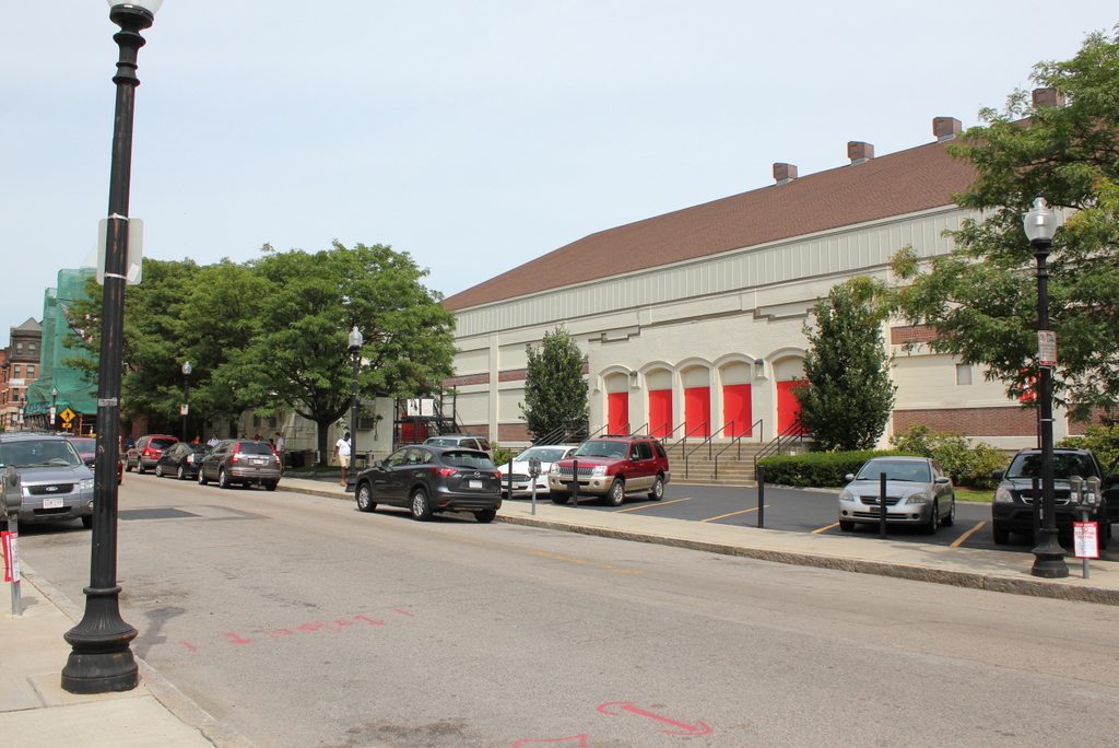
Shawmut Street in 2015:

684_2015
These two photos weren’t taken from the exact same spot, because the original one was taken from what is now a parking garage.  However, the two rowhouses just beyond the Cocoanut Grove serve as a point of reference; they are the same ones still standing in the 2015 view.  The Cocoanut Grove nightclub was located to the left of and behind these buildings, but they survived the fire as well as the late 20th century redevelopment of this neighborhood.  I couldn’t find an exact date for their construction, but they were probably built in the first half of the 19th century, when the Bay Village section of the city was first developed.

The 1942 photo doesn’t have an exact date, but it was probably taken before the one in this post, which shows the same scene from the opposite angle.  Notice how in this photo here the pile of chairs and other debris has not yet been cleaned up yet, and the windows have not been boarded up, suggesting that the photo was probably taken the morning after.  The section of the building photographed here was the main dining room, which also featured a dance floor and a stage for the orchestra.  Many of the 492 people who were killed in the fire died here, in part because the large plate glass windows, which could have offered an escape route for the panicked crowds, were concealed behind a layer of wood veneer on the inside.

Cocoanut Grove, Boston (2)

Another photo of the exterior of the Cocoanut Grove nightclub, in the aftermath of the November 28, 1942 fire. This view shows the club from the Shawmut Street side of the block. Image courtesy of the Boston Public Library.

683_1942 bpl

The scene in 2015:

683_2015
As explained in the previous post, the Cocoanut Grove fire was the second-deadliest single-building fire in American history.  The fire completely engulfed the nightclub in just five minutes, and 492 people were killed here.  The previous post shows the original section of the club, which opened in 1927 on Piedmont Street. Over time, it expanded to include many different buildings in the block, including the building seen here, as well as the older brick buildings in the distance to the left.  Taken from Shawmut Street on the other side of the block from Piedmont Street, the 1942 photo shows the entrance to the main dining room and dance floor.  Signs above the windows also advertise for the Melody Lounge, a dimly-lit bar and lounge in the basement where the fire started.

In the years following the fire, the neighborhood was completely changed.  The building’s former footprint is now occupied by a parking garage and a condominium building that is under construction.  A short street, appropriately named Cocoanut Grove Lane, now crosses through the former location of the main dining room, connecting Shawmut and Piedmont Streets.  The only thing left from the 1942 scene is the building on the extreme right of both photos.  Despite being located right next to the club, this 19th century brick rowhouse survived the fire, and later survived the city’s urban renewal projects later in the 20th century.

Cocoanut Grove, Boston (1)

The Cocoanut Grove nightclub on Piedmont Street in Boston’s Bay Village neighborhood, shortly after the November 28, 1942 fire. Image courtesy of the Boston Public Library.

682_1942 bpl

The scene in 2021:

The first photo shows the Cocoanut Grove nightclub in the aftermath of the infamous fire that gutted the building and killed 492 people, making it the second-deadliest single-building fire in American history.  The building had been constructed in 1916 as a garage, and was opened as the Cocoanut Grove in 1927.  The tropical-themed nightclub became one of the most popular in Boston; owner Barney Welansky was well-connected with both the Mafia and with Mayor Maurice J. Tobin, and the club’s guests included many prominent Bostonians, and it regularly featured well-known entertainers.  Just a week before the fire, Irving Berlin performed here, and one of the fatalities from the night of the fire was movie star Buck Jones.

Although the cause of the fire is still unclear, it began in the Melody Lounge, a dimly-lit basement room located just below this section of the building.  The fire was discovered at around 10:15, and spread rapidly with the help of the flammable tropical decorations that covered much of the interior.  Within five minutes, the entire 10,000 square foot building was on fire.  Many people attempted to escape through the revolving door at this entrance on Piedmont Street, but the size of the crowd jammed the door.  The door visible to the left was at the top of the stairs to the Melody Lounge, but it was locked, along with several other exits in the building.

The aftermath of the fire led to a number of changes in both medicine and fire safety; Boston area hospitals developed new treatments for burn victims, and state and city governments enacted new laws regarding emergency exits, exit signs, and flammable decorations.  As a result of the number of deaths caused by the jammed revolving door, such doors today must have conventional, outward-opening doors on either side.

In the years following the fire, much of this neighborhood was extensively redeveloped.  This site along Piedmont Street would be used as a parking lot for many years, but as seen in the 2021 photo, there is now a condominium building here.

Armory of the First Corps of Cadets, Boston

The armory at the corner of Arlington Street and Columbus Avenue in Boston, around 1904. Image courtesy of the Library of Congress, Detroit Publishing Company Collection.

681_1904c loc

The building in 2015:

681_2015
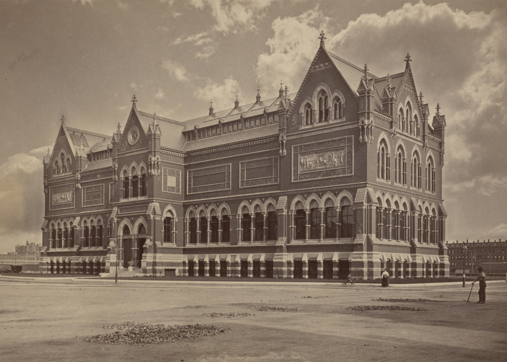
Mixed in with modern high-rise buildings, this building looks more like it belongs in medieval Europe than in Boston, but it once served an important role in the city’s history.  It was one of many National Guard armories built across the state in the late 1800s, and it bears some resemblance to Springfield’s state armory, which was built around the same time.  The Armory of the First Corps of Cadets was built between 1891 and 1897, and like many other prominent civic buildings in late 19th century Boston it was designed by William Gibbons Preston, whose other works included Mechanics Hall and the Museum of Natural History.  Although the castle-like building seems somewhat whimsical in appearance, it actually served a very practical purpose; in the event of riots or other civil unrest, it would be able to withstand any attacks.  The tower could even be used to exchange signals with officials at the Massachusetts State House, which is located on the other side of Boston Common.

Over a hundred years after its construction, the armory is relatively unchanged on the exterior, although it has gone through several different uses over the years.  In the mid-20th century it was used for several different military-related museums, and in 1966 it was sold to a private owner.  It was listed on the National Register of Historic Places in 1973, and went through several different uses, including as a library and as an exhibition hall.  Today, it is owned by the Boston Park Plaza Hotel and is rented as a banquet and conference facility.

Arlington Station, Boston

The entrance to the Arlington subway station, taken from the Boston Public Garden in front of the Arlington Street Church, on March 17, 1937. Image courtesy of the City of Boston Archives.

680_1937-03-17

The scene in 2015:

680_2015
When the present-day Green Line subway tunnel was built in 1897, it only went as far west as Arlington Street; from here, the trolleys came to the surface (as seen in this post) and traveled along the center of Boylston Street through the Back Bay.  However, in 1914 the subway was extended west to Kenmore Square, and from here the closest stations were either a third of a mile to the east at Boylston, or an equal distance to the west at Copley Square.  This gap was resolved in 1921 when Arlington station opened here, with the original entrance being located in the Public Garden at the corner of Arlington and Boylston Streets.

The station has been renovated over the years, and the Public Garden entrance no longer exists, but many of the surrounding buildings from nearly 80 years ago are still standing.  The most prominent is the 1861 Arlington Street Church, which is partially blocked in both photos by the back of a statue and monument honoring William Ellery Channing, a Unitarian minister who was once the pastor of the congregation that later built the church.  Many of the buildings along Boylston Street in the distance are also still there today, but the skyline behind them has dramatically increased; some of the skyscrapers visible today include the old John Hancock Building, the new John Hancock Tower, and the Prudential Tower.

Mechanics Hall, Boston

The Mechanics Hall building on Huntington Avenue in Boston, around 1906. Image courtesy of the Library of Congress, Detroit Publishing Company Collection.

679_1906c loc

The site in 2015:

679_2015
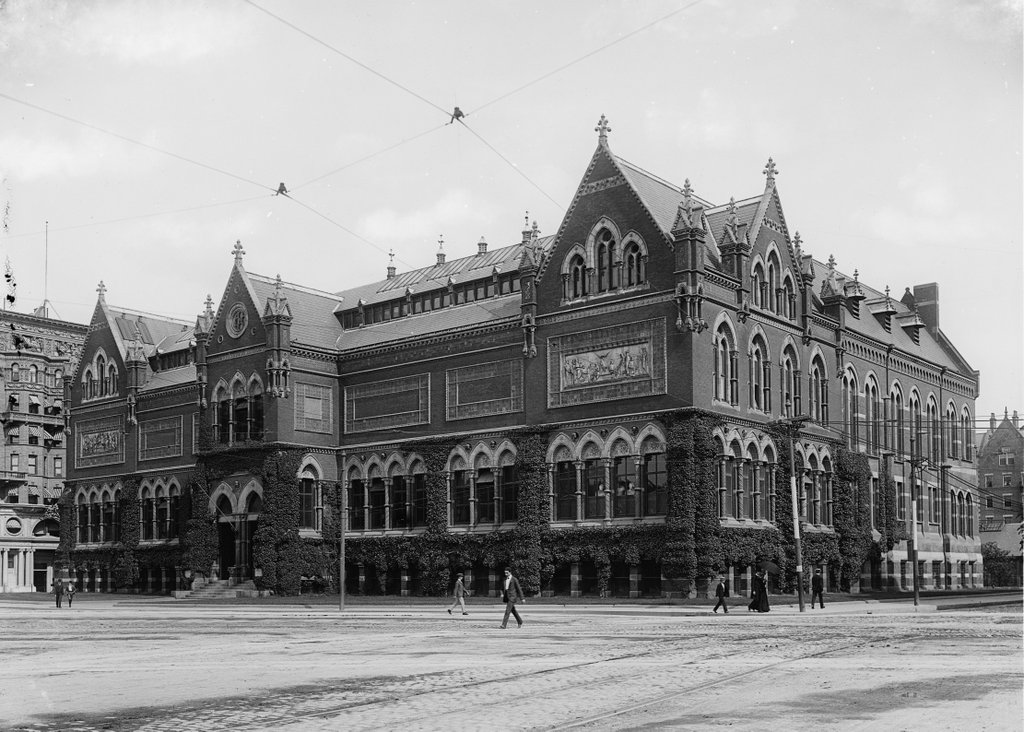
Mechanics Hall was a convention center and civic arena located in Boston’s Back Bay, in a triangular-shaped lot between Huntington Avenue to the south, the Boston & Albany rail yard to the north, and West Newton Street to the west.  It was completed in 1881, and was designed by William Gibbons Preston, whose other works in Boston included the Rogers Building on the original MIT campus, and the old Museum of Natural History building.

The building was owned by the Massachusetts Charitable Mechanic Association, and included a large auditorium that was used for various conventions, shows, track meets, wrestling matches, and other events.  It was even briefly home to Boston’s first professional basketball team: the 1925-1926 Boston Whirlwinds of the American Basketball League, who began their only season in the Matthews Arena before moving their home games here and then later to a Knights of Columbus Hall in Somerville. The team ended up disbanding partway through the season, after playing just 16 games.

The first photo shows the trolley line running down the median of Huntington Avenue.  This section of the trolley was put underground in 1941, and Mechanics station was built here to serve the building.  However, Mechanics Hall was becoming obsolete, and by the 1950s the neighboring rail yard was being eyed for redevelopment as the Prudential Center.  As part of the project, Mechanics Hall was demolished in 1959, and today the skyscraper at 111 Huntington Avenue occupies part of the former building’s location, as seen to the right in the 2015 photo.