
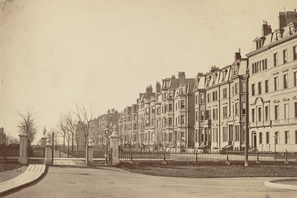
Looking west along the north side of Commonwealth Avenue from the Boston Public Garden, sometime in the 1870s. Image courtesy of the Boston Public Library.
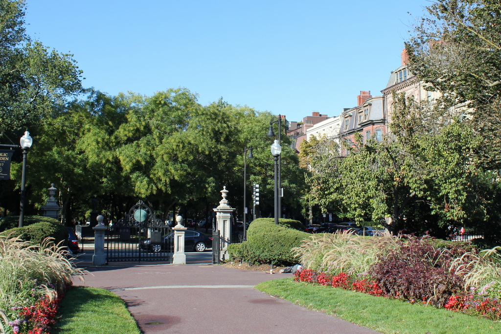
The scene in 2015:
From the start, the Back Bay was designed to be an upscale residential neighborhood, and these houses on the north side of Commonwealth Avenue typically commanded the highest prices. Here, the residents enjoyed the view of the broad Commonwealth Avenue Mall, and their southern-facing front windows gave them plenty of light. The work of filling the land and building homes began here at Arlington Street in the early 1860s, and as the years went on the development moved westward. By the early 1870s, Commonwealth Avenue reached as far as Exeter Street, four blocks from here. Most of the houses in the foreground of the first photo were built in the early to mid 1860s, when the block between Arlington and Berkeley Streets was developed. They represent the typical residential design for the Back Bay, with 3 to 4 story Victorian brownstones lining the streets that had to conform to strict building codes at the time.
Nearly 150 years after the first photo was taken, the strict building codes have paid off. The neighborhood retains its original 19th century residential appearance, and many of the houses from the first photo are still standing today. The trees, which were just saplings in the 1870s, now hide the view of most of the houses from here, but a few of the buildings are visible to the right, and are easily recognizable from the first photo.There have been some newer houses, like the light-colored one just to the right of the lamppost, but these have generally been in keeping with the original appearance of the neighborhood.