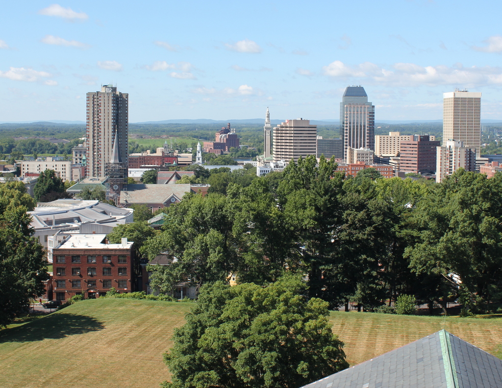
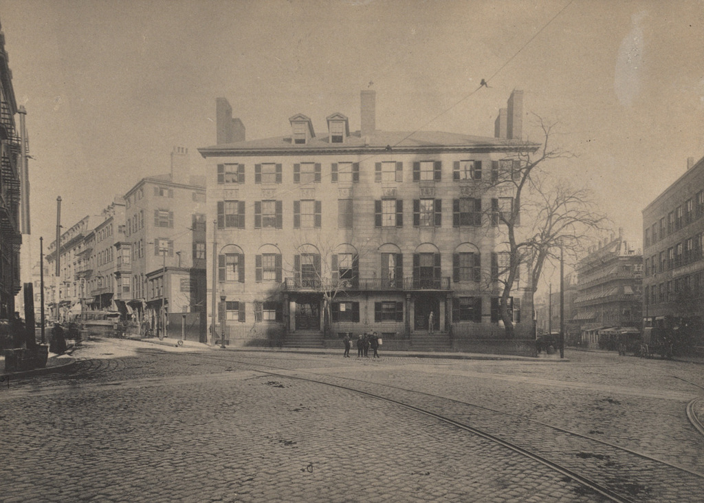
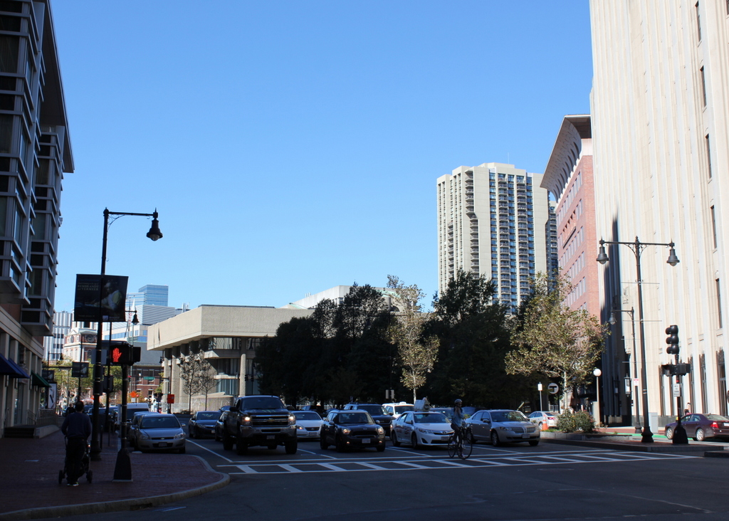
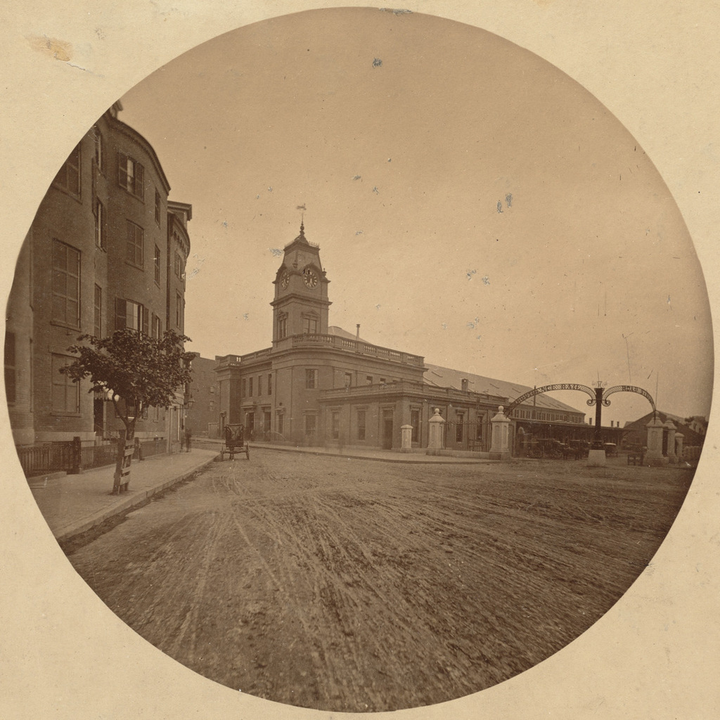
View from the Arsenal Tower, Springfield, Mass (2)

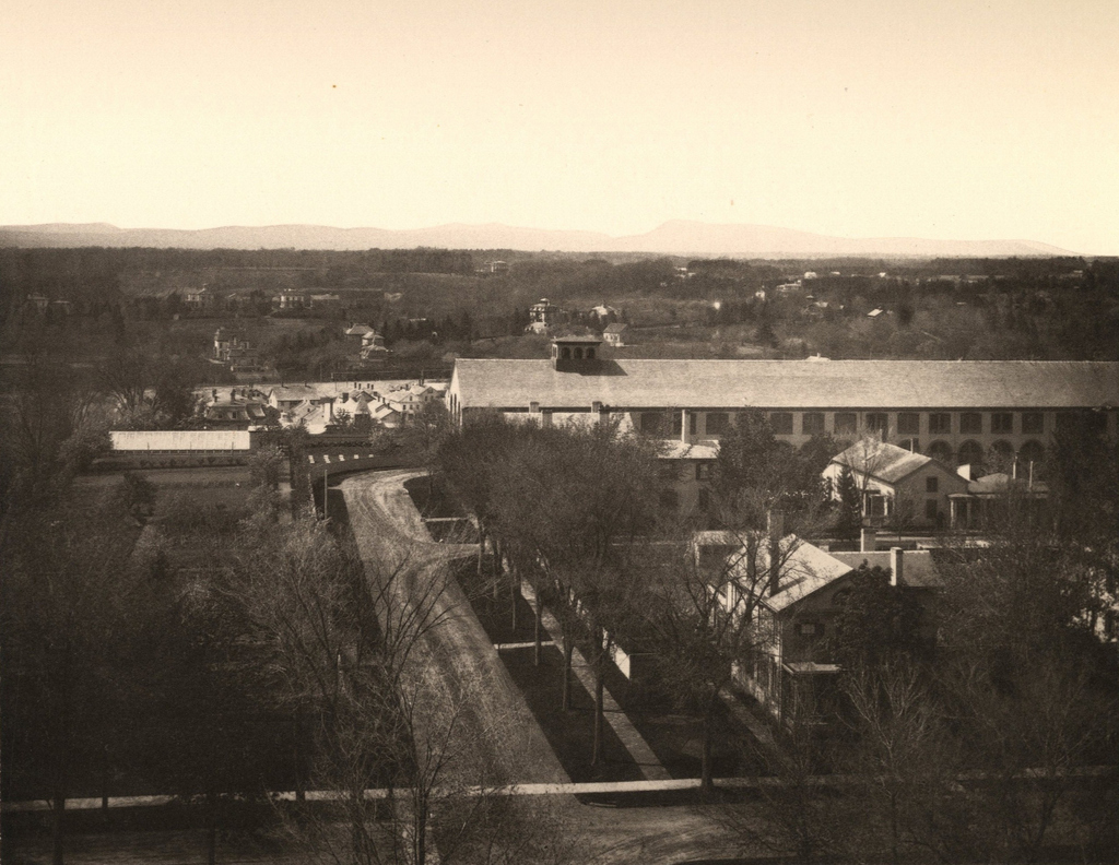
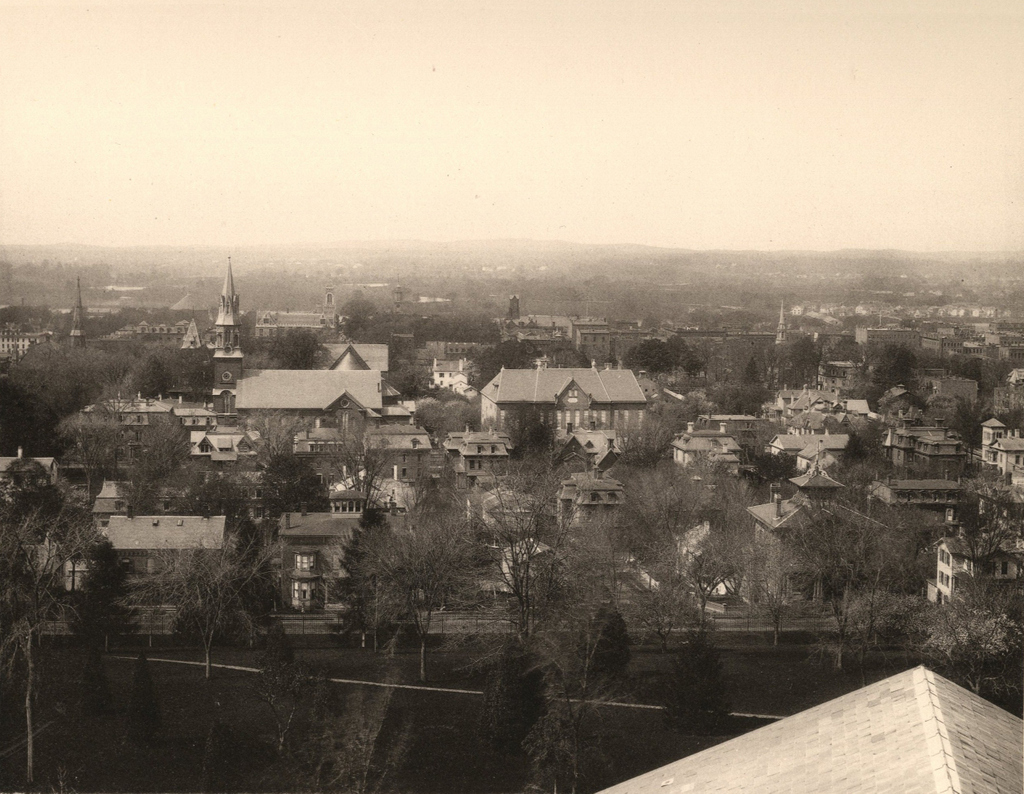
The view looking west from the top of the Arsenal tower at the Springfield Armory, around 1882. Image from Springfield Illustrated (1882)

838_1882c spfldillustrated

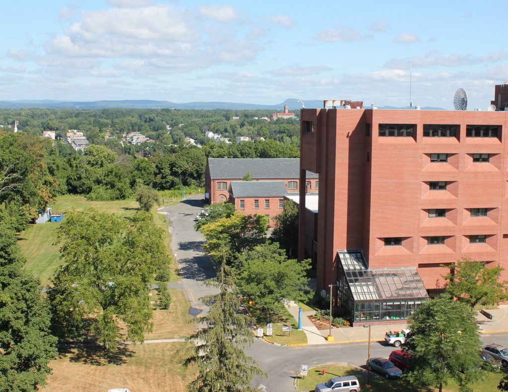
The view in 2015, photographed with permission from the Springfield Armory National Historic Site.
838_2015
At first, this view looking toward the North End of Springfield does not appear to have seen many dramatic changes. In contrast to the downtown view in the previous post, the scale of this scene remains largely the same, with mostly low-rise commercial and industrial buildings. However, most of the buildings from the first photo have since been demolished. There is a group of surviving Victorian-era buildings on the far left in the Quadrangle-Mattoon Street Historic District, which includes the North Congregational Church and the nearby townhouses on Mattoon Street. The rest of the buildings in the scene, though, are mostly gone. Probably the most significant change happened in the 1960s, when most of the buildings on the right side of the photo were demolished as part of the North End urban renewal project. Much of this area now includes the interchange between Interstates 91 and 291.

Although little survives from the 19th century in this scene, this section of Springfield still includes a number of historic buildings. Just to the left of the center is the Apremont Triangle Historic District, which includes historic early 20th century buildings such as the 1910 Hotel Kimball building, which is visible just beyond the steeple of the North Congregational Church. To the left of it is the 1916 YMCA Building, and to the right is the 1924 Tarbell-Waters Building. Another historic building in this scene is the 1916 Willys-Overland Block, which is the boarded-up building just to the left of the center, and just beyond it on Dwight Street is the old 1932 post office.

For other then and now views from the Arsenal tower, see the other posts showing the view facing southwest, northwest, south, and north.

View from the Arsenal Tower, Springfield, Mass (1)

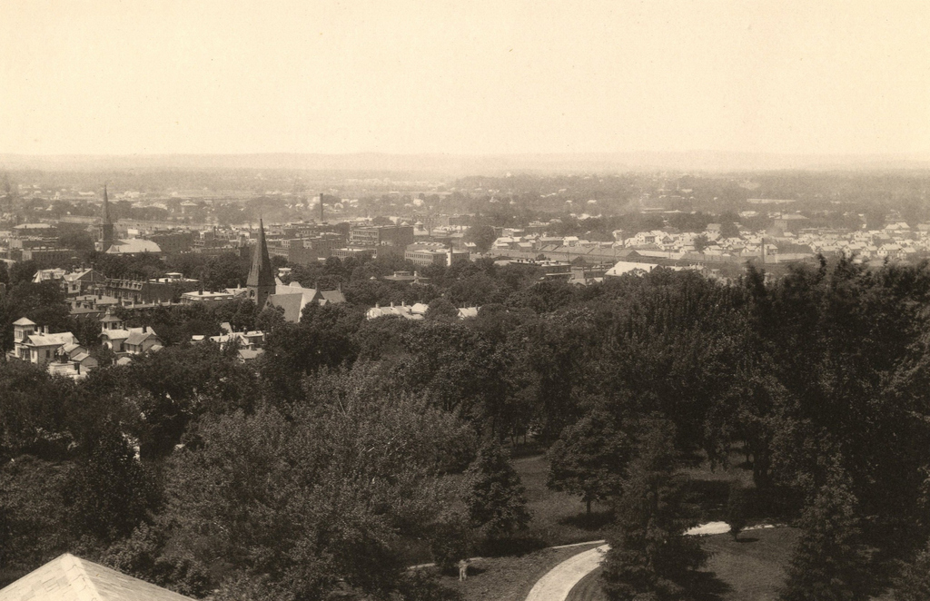
Looking southwest toward downtown Springfield from the Arsenal tower, around 1882. Photo from Springfield Illustrated (1882).

837_1882c spfldillustrated

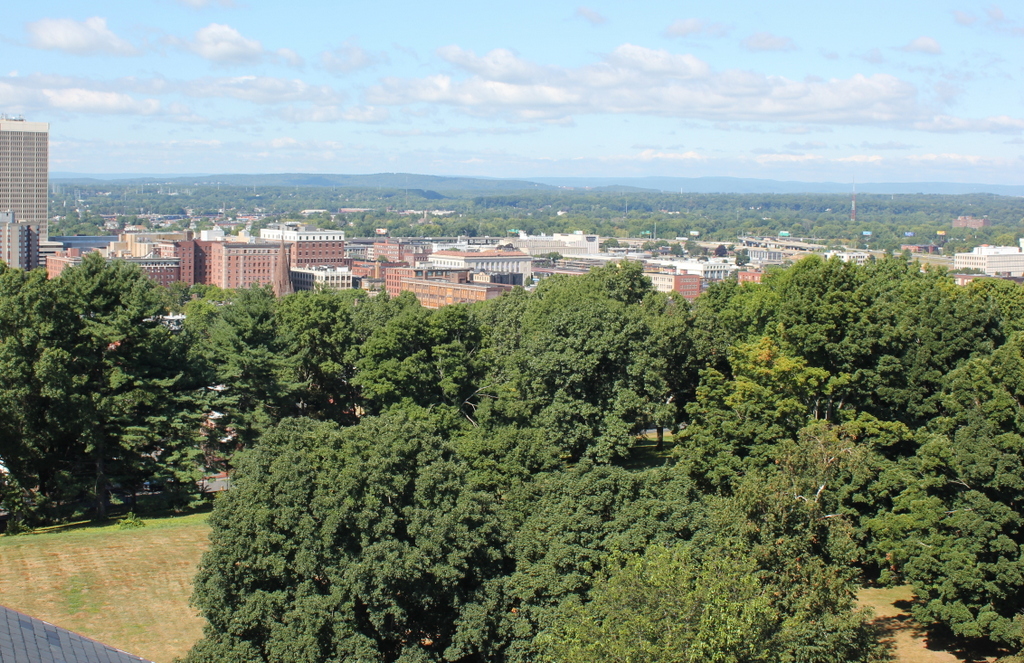
The view in 2015, photographed with permission from the Springfield Armory National Historic Site.

837_2015
When the first photo was taken around the early 1880s, Springfield was in the midst of a period of rapid growth. In the previous 20 years, the city’s population had more than doubled to 33,340 people by 1880, thanks in no small part to the presence of the Armory where the photo was taken. The Main Street corridor in the distance had become a major commercial center for the entire region, and the slope in the the foreground at the base of the Armory hill had developed into an affluent residential area. Most of the buildings in the first photo were built in the 1860s or 1870s, including most of the houses seen here. Other major landmarks visible here include St. Michael’s Cathedral, which is easily visible on the left side, and St. Michael’s Hall, in the center. Just to the left of St. Michael’s Cathedral is the tower of the old library building, and to the left of it is the steeple of the Church of the Unity. Further in the distance, beyond St. Michael’s, is the Hampden County Courthouse, with the steeple of Old First Church barely visible to the right of it, along with the tower of the old City Hall building in approximately the upper center of the photo.

As dramatic as the population increase had been by the time the first photo was taken, the growth would continue at an even more dramatic pace over the next 50 years, with the population reaching almost 150,000 by 1930, almost 4.5 times the 1880 population. Much of this growth was in the suburban parts of the city, but the downtown area also saw significant development. However, unlike many other comparably-sized cities in the northeast, Springfield’s skyline did not see many dramatic changes until later in the 20th century. From 1908 to 1970, a state law prohibited any buildings taller than the 125-foot steeple of Old First Church, with the exception of the Springfield Municipal Group Campanile tower. Since 1970, though, downtown Springfield has grown upward, starting with the 29-story Baystate West, now named Tower Square, which is visible on the far right of the photo. Other skyscrapers soon followed, including the Chestnut Park apartment building on the left side of the photo, and Monarch Place, just to the right of the center.

Many of the historic structures from the first photo are now gone, including the old library, the Church of the Unity, and St. Michael’s Hall. Many of the Victorian single-family homes and duplexes are also gone, having been replaced by apartment blocks as the city grew in the first half of the 20th century. Some, however, are still standing, including the two brick houses on Byers Street in the foreground that have towers on their roofs. A few blocks further down the hill, mostly hidden by the trees, is the Quadrangle-Mattoon Street Historic District, which includes many buildings that were standing when the first photograph was taken. The Armory itself, including the Arsenal tower where these photos were taken, is also a historic site. It closed in 1968, and is now the home of Springfield Technical Community College as well as the Springfield Armory National Historic Site.

For other then and now views from the Arsenal tower, see the other posts showing the view facing west, northwestsouth, and north.

Parkman House, Boston

The Parkman House at Bowdoin Square in Boston, in 1880. Image courtesy of the Boston Public Library.

824_1880 bpl

Bowdoin Square in 2015:

824_2015
The Bowdoin Square area was once a prominent residential neighborhood, and these two attached granite houses were built around 1816 by Samuel Parkman, a wealthy merchant who hired Charles Bulfinch to design them. Samuel Parkman’s daughter Sarah lived in the house to the left, along with her husband, Edward Blake, Jr., who died in 1817, shortly after they moved in. Sarah lived here until her death in 1847. Parkman himself lived in the house to the right until he died in 1824, and another daughter, Elizabeth, lived here with her husband, Robert Gould Shaw, until around 1840.

Both the Parkman and Shaw families were prominent in Boston’s 19th century upper class. Samuel Parkman’s grandson was Francis Parkman, a noted author and historian, and Robert Gould Shaw was one of the wealthiest men in the city. When he and his wife left this house in 1840, they moved to the other side of Beacon Hill, to a house overlooking Boston Common at the corner of Beacon and Joy Streets. By 1846, he had an estimated net worth of a million dollars, much of which he had inherited from his father-in-law. Shaw’s grandson and namesake, Colonel Robert Gould Shaw, would go on to achieve fame as the commanding officer of the 54th Massachusetts Infantry Regiment, one of the first all-black units to fight in the Civil War.

The two houses stood here at Bowdoin Square until the early 1900s, when they were demolished and replaced with a commercial building. This building is no longer standing either, nor is anything else from the 1880 photo. The entire West End section of the city, aside from a few buildings, was demolished in the late 1950s as part of an urban renewal project, similar to what was done at nearby Scollay Square around the same time, Even the road networks were changed, and today Bowdoin Square bears essentially no resemblance to its earlier appearance.

Boston and Providence Depot, Boston

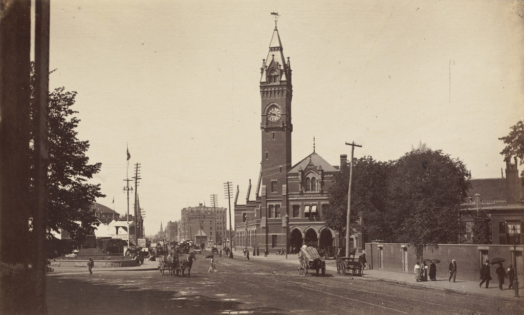
The Boston and Providence Depot at Park Square in Boston, around 1860. Image courtesy of the Boston Public Library.

815_1860c bpl

The station around 1885. Image courtesy of the Boston Public Library.

815_1885c bpl

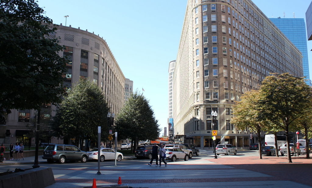
The scene in 2015:

815_2015

The Boston and Providence Railroad opened in 1835, at a time when Boston was still a peninsula connected to the mainland by a narrow isthmus. To avoid taking up scarce land, the railroad built a long trestle across the Back Bay, which at the time was a tidal marsh between Boston and Roxbury. The railroad terminal was built here at the edge of the water, at what eventually became Park Square.

The original station from the first photograph was demolished in the early 1870s so that the city could build Columbus Avenue, and it was replaced with the much larger station in the second photograph. In advertisements, it was hailed as “The Palace Depot of the World,” and from here passengers could board a train for Providence, New York, and other points south. However, by the late 19th century there were eight different railroads serving Boston, each of which operated its own separate station. The four railroads on the north side all had terminals near where North Station would be be built in 1893, and three of the south side terminals were located in the immediate vicinity of today’s South Station. The Providence and Worcester depot was the one outlier; it was on the south side, but it was a half mile away from the next closest station.

Because the multiple stations were both inconvenient for passengers and a waste of valuable property, the four south side railroads finally consolidated into South Station in 1899. This station and the tracks leading to it were closed, and the railroad, which by then had been leased to the New York, New Haven and Hartford, was rerouted onto new tracks, parallel to the Boston & Albany Railroad.

Today, none of the buildings from the first two photos are still standing. The site of the station is now the Boston Park Plaza Hotel, which was built in 1927 as the Hotel Statler Boston in the triangular block between Columbus Avenue, Park Plaza, and Arlington Street. The only visible remnant from the first photo is the Emancipation Memorial statue, which was added to Park Square in 1879 and can be seen on the far left of both photos.


Charles Street Meeting House, Boston (2)

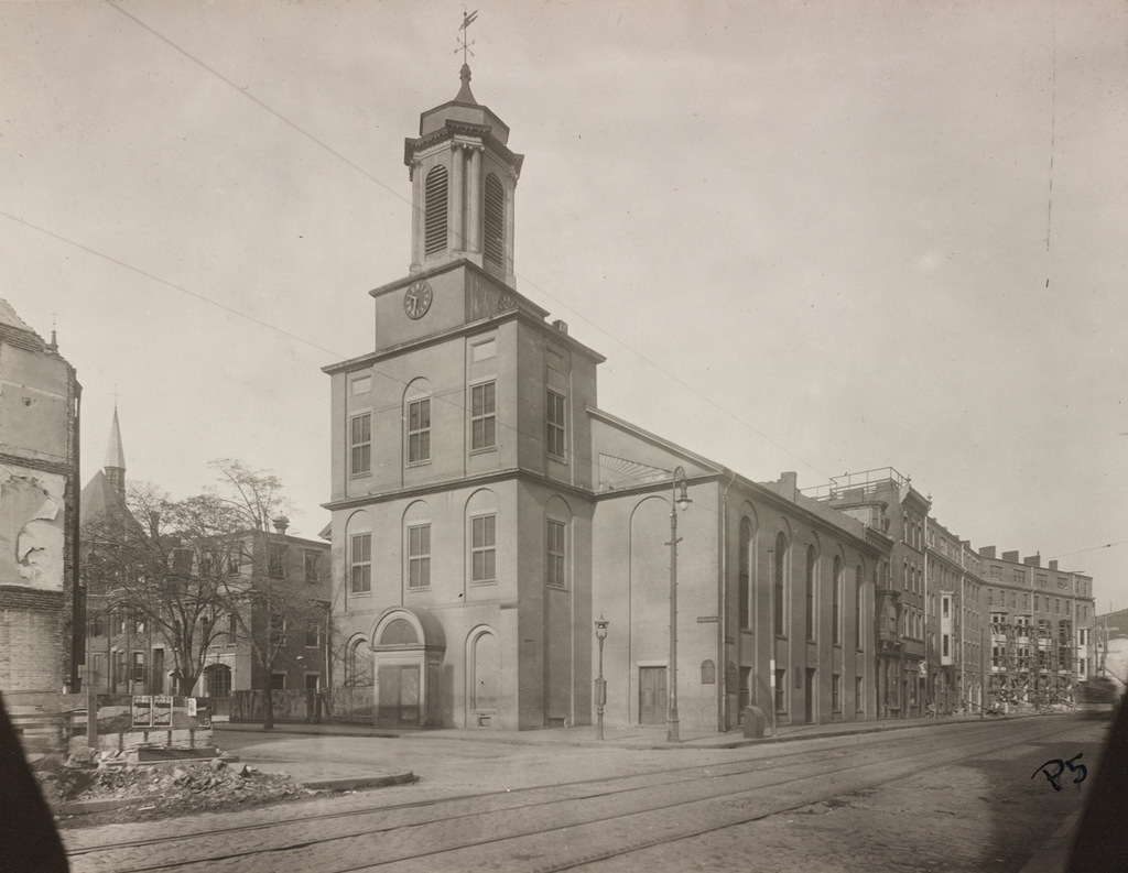
Looking north on Charles Street toward the Charles Street Meeting House in Boston, around 1889. Image courtesy of the Boston Public Library.

814_1889c bpl

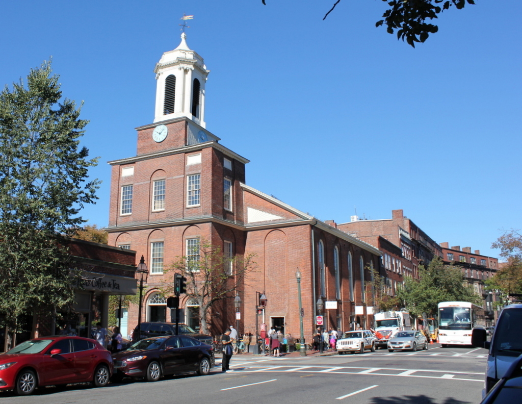
The scene in 2015:

814_2015
As mentioned in the previous post, this historic church was built in 1807 as the Third Baptist Church. It played a major role in the abolitionist movement in Boston, and it was later the home to the Charles Street African Methodist Episcopal Church from 1876 until 1939. It was converted into offices in the early 1980s, but from the exterior it looks essentially the same as it did over 125 years ago. It is one of the 15 landmarks that comprises the Boston African American National Historic Site on Beacon Hill.  The buildings beyond it on Charles Street haven’t changed much, either. They date back to the second half of the 19th century, and like so many other buildings in the Beacon Hill neighborhood, they have been well-preserved over the years.

Charles Street Meeting House, Boston (1)

The Charles Street Meeting House, at the corner of Charles and Mt. Vernon Streets in Boston, around 1889. Image courtesy of the Boston Public Library.

813_1889c bpl

The church in 2015:

813_2015
This historic church in the Beacon Hill neighborhood was built in 1807 as the Third Baptist Church. It was designed by Asher Benjamin, a New England native who was one of the leading American architects of the Federal era, and at the time it was located right along the waterfront. The building hasn’t moved in the past two centuries, but the shoreline has; Charles Street once ran along the Charles River at the western edge of the city, but after widespread landfill projects in the 19th century the church is now a considerable distance from the water.

Prior to the Civil War, this church was prominent in Boston’s abolitionist movement, and it hosted speakers such as Frederick Douglass, Wendell Phillips, Charles Sumner, and Sojourner Truth. After the war, though, the congregation declined, and merged with the First Baptist Church by 1876. The building was sold to the First African Methodist Episcopal Church, and became the Charles Street A.M.E. Church.

When the first photo was taken around 1889, the A.M.E. Church still owned it, and they remained here until 1939. By then, Boston’s black population had shifted away from its historic roots in Beacon Hill, and the congregation relocated to Roxbury. The building was later used as an Albanian Orthodox church and later as a Unitarian Universalist church until the late 1970s. A few years later, it was converted into offices. The interior was completely renovated, but the exterior was preserved, and today it is a part of the National Park Service’s Boston African American National Historic Site.